Matanuska-Susitna Borough (often referred to as the Mat-Su Borough) is a borough located in the U.S. state of Alaska. Its borough seat is Palmer, and the largest community is the census-designated place of Knik-Fairview. As of the 2020 census, the borough’s population was 107,801,
The borough is part of the Anchorage Metropolitan Statistical Area, along with the municipality of Anchorage on its south.
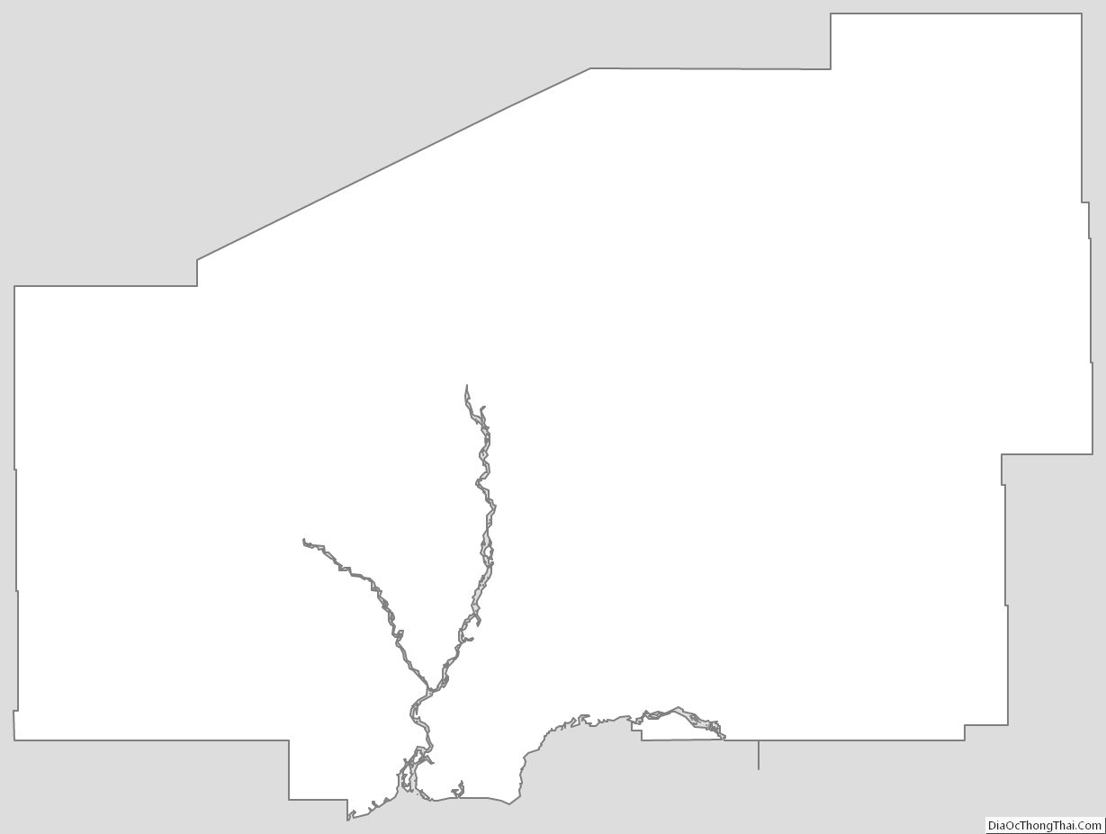
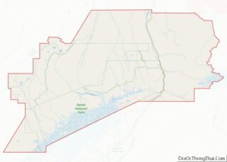
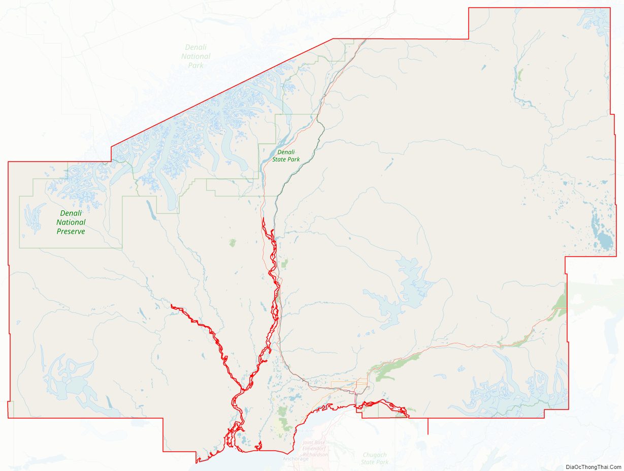
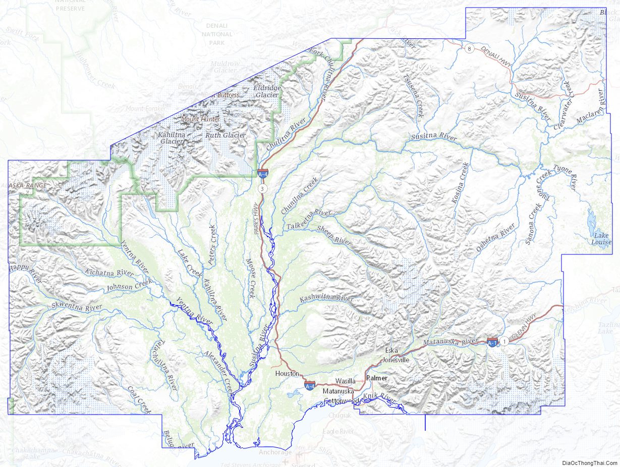
The Mat-Su Borough is so designated because it contains the entire Matanuska and Susitna Rivers. They empty into Cook Inlet, which is the southern border of the Mat-Su Borough. It is one of the few agricultural areas of Alaska.
| Name: | Matanuska-Susitna Borough |
|---|---|
| FIPS code: | 02-170 |
| State: | Alaska |
| Named for: | Matanuska River and Susitna River |
| Seat: | Palmer |
| Total Area: | 25,258 sq mi (65,420 km²) |
| Land Area: | 24,608 sq mi (63,730 km²) |
| Total Population: | 107,801 |
| Population Density: | 4.3/sq mi (1.6/km²) |
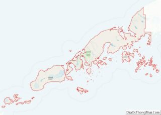
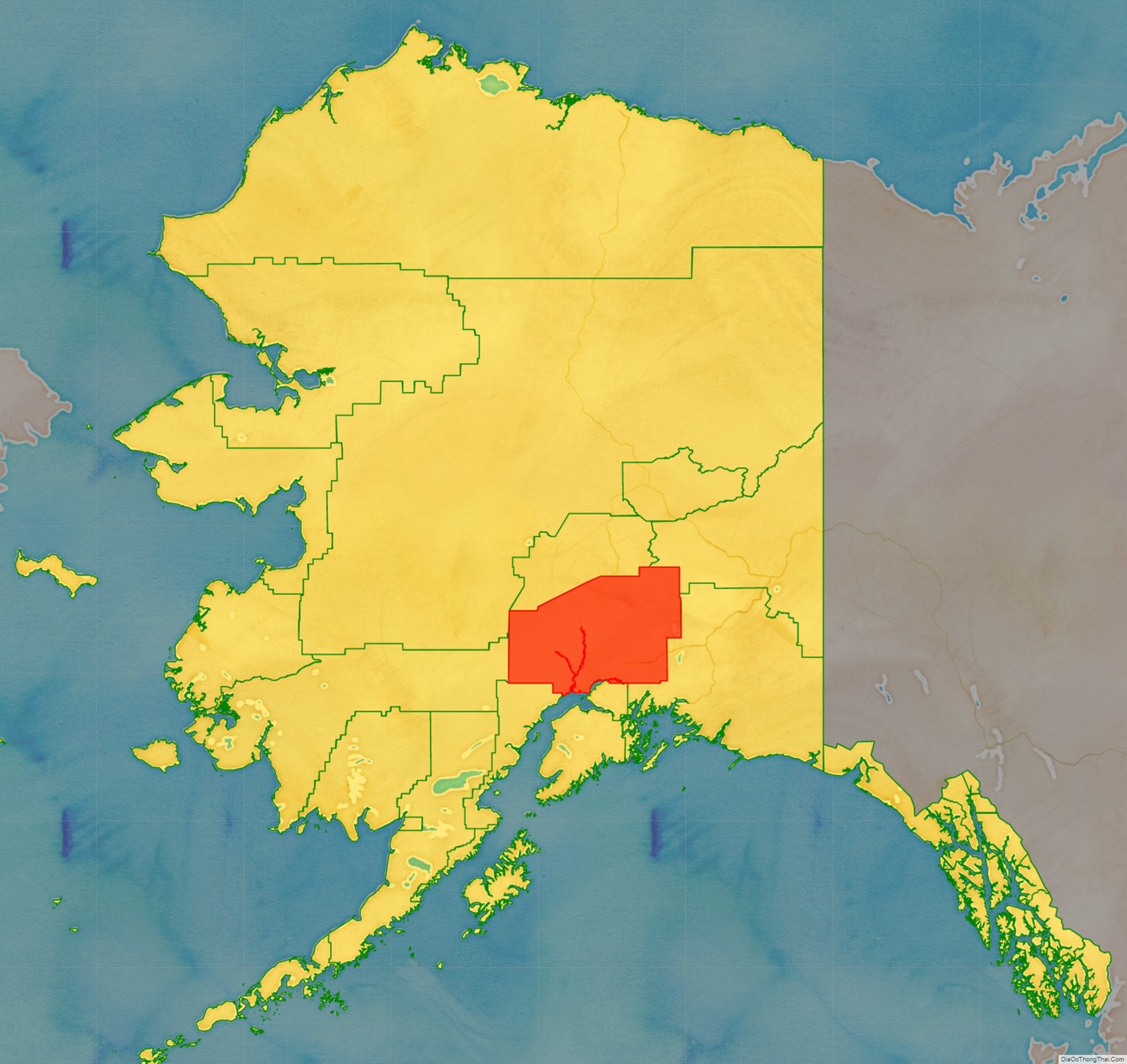
Matanuska-Susitna Borough location map. Where is Matanuska-Susitna Borough?
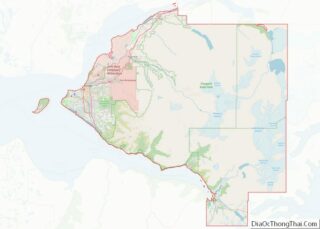
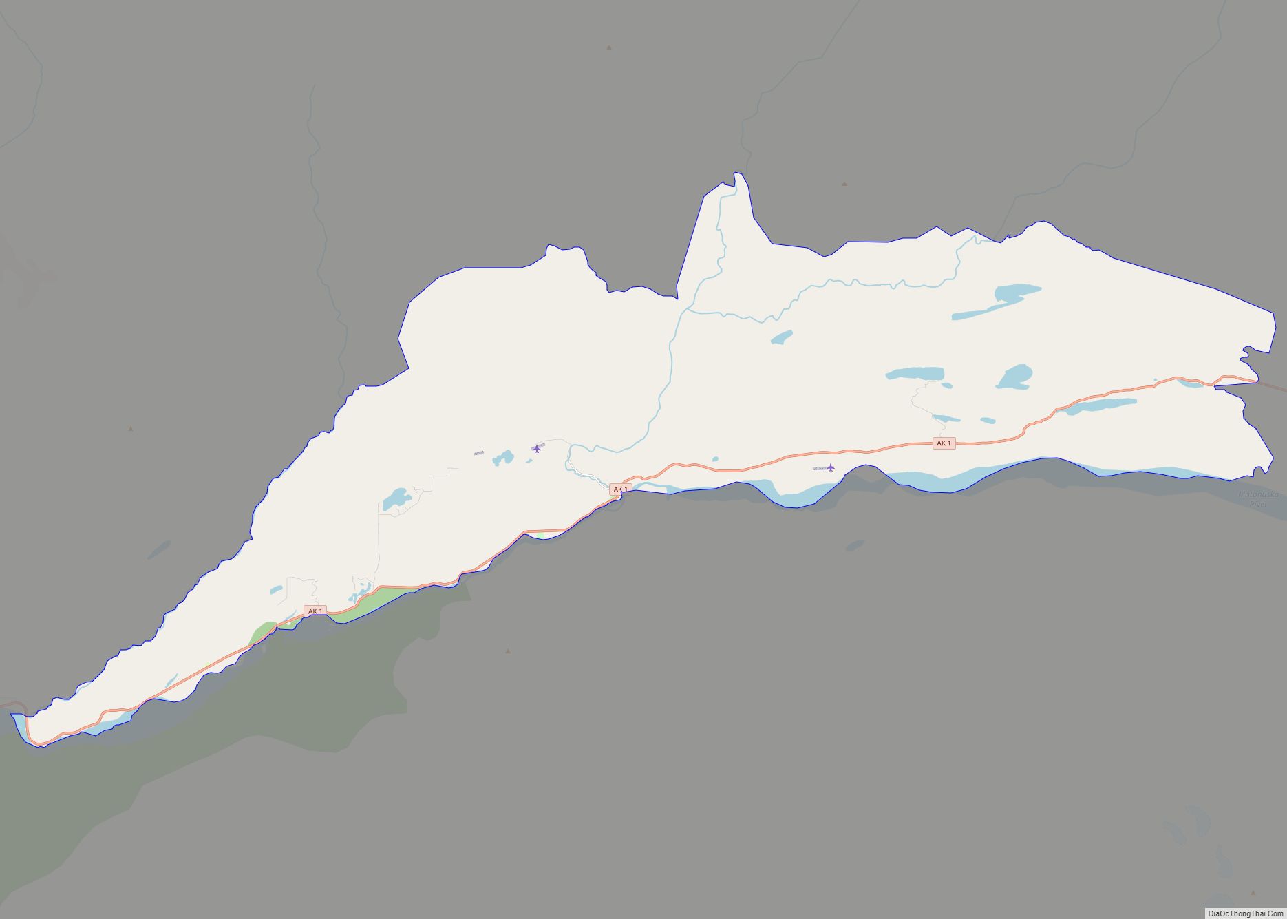
Matanuska-Susitna Borough Road Map
Geography
The borough seat is Palmer, and the largest community is the census-designated place of Knik-Fairview, Alaska.
As of the 2020 census, the population was 107,081, up from 88,995 in 2010. It is the fastest growing subdivision in Alaska.
According to the United States Census Bureau, the borough has a total area of 25,258 square miles (65,420 km), of which 24,608 square miles (63,730 km) is land and 650 square miles (1,700 km) (2.6%) is water.
Adjacent boroughs and census areas
- Denali Borough, Alaska – north
- Southeast Fairbanks Census Area, Alaska – northeast
- Copper River Census Area, Alaska – east
- Chugach Census Area, Alaska – east
- Municipality of Anchorage, Alaska – south
- Kenai Peninsula Borough, Alaska – south
- Bethel Census Area, Alaska – west
- Yukon-Koyukuk Census Area, Alaska – west
National protected areas in the borough
- Chugach National Forest (part)
- Denali National Park and Preserve (part)
- Denali Wilderness (part)
- Lake Clark National Park and Preserve (part)
- Lake Clark Wilderness (part)
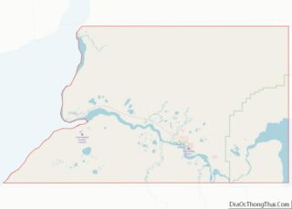
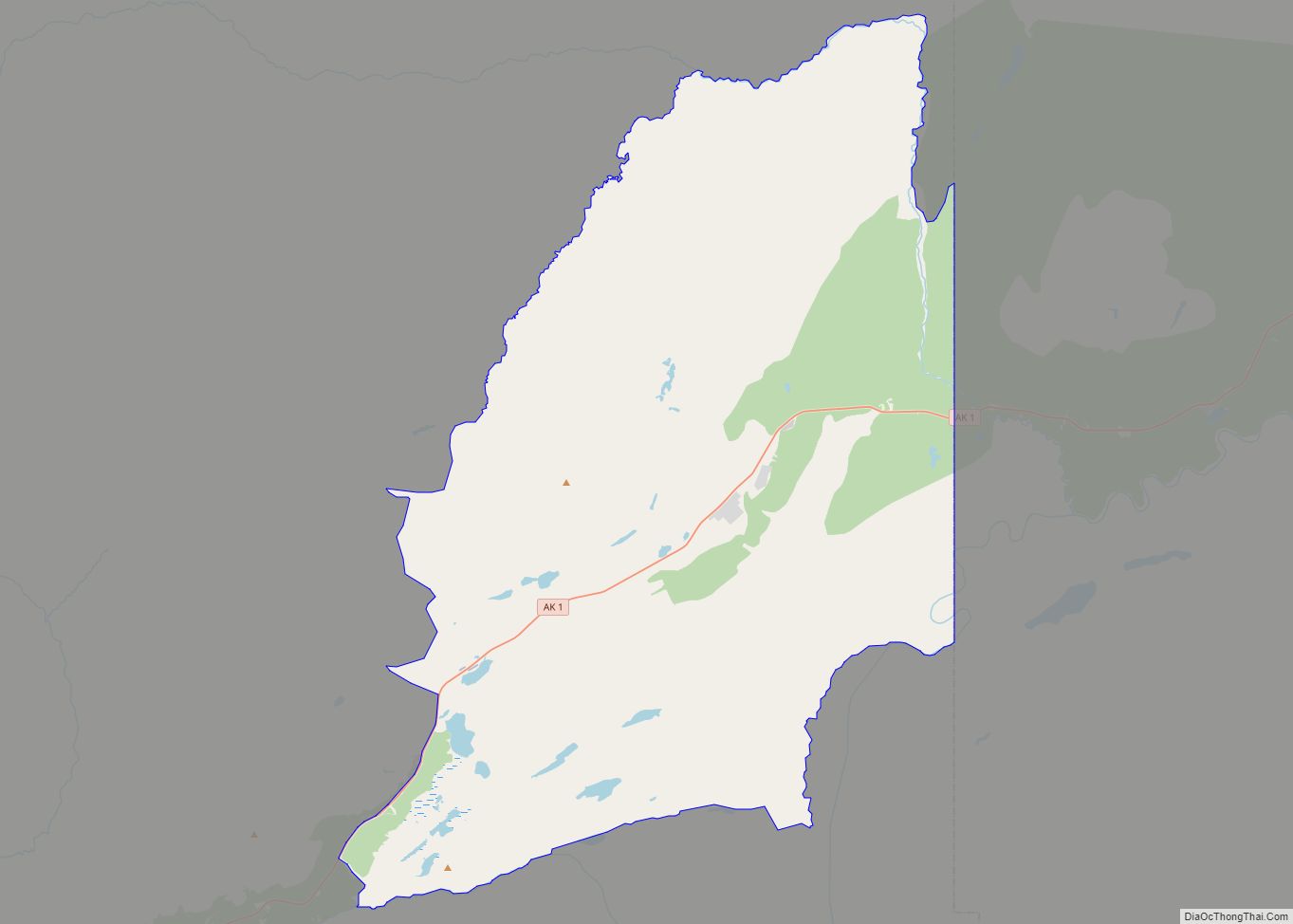
Matanuska-Susitna Borough Topographic Map
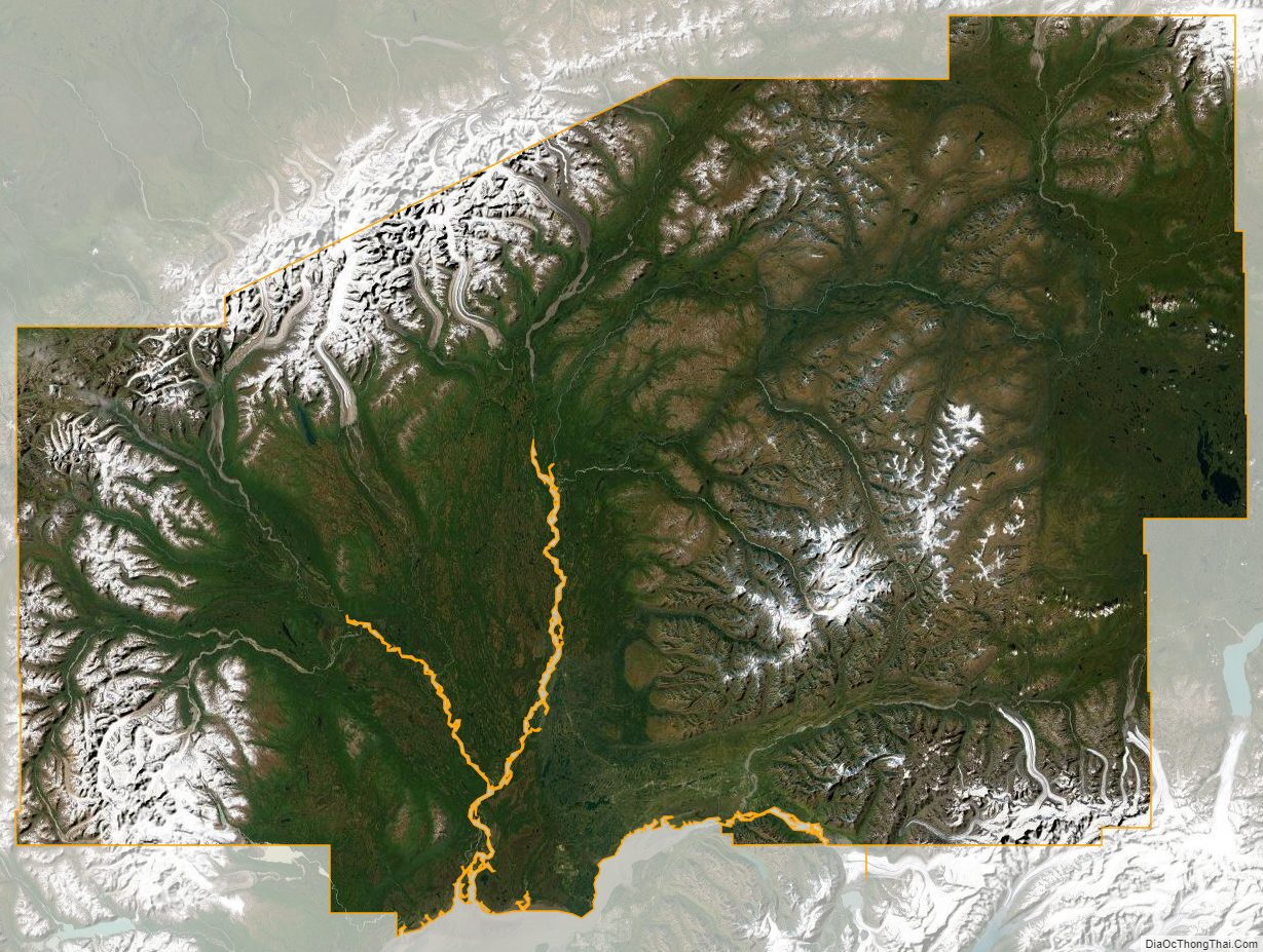
Matanuska-Susitna Borough Satellite Map
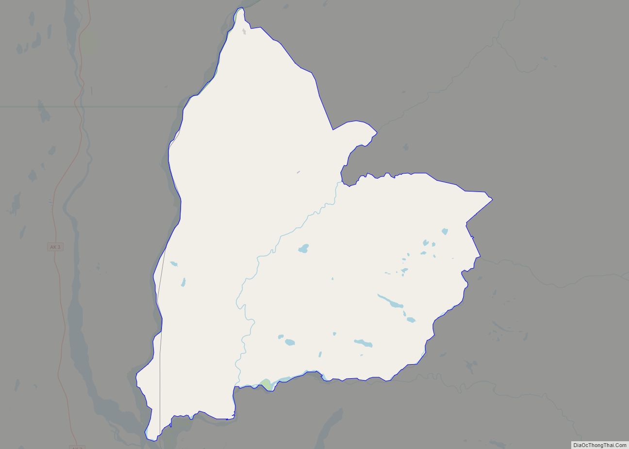
Matanuska-Susitna Borough Outline Map