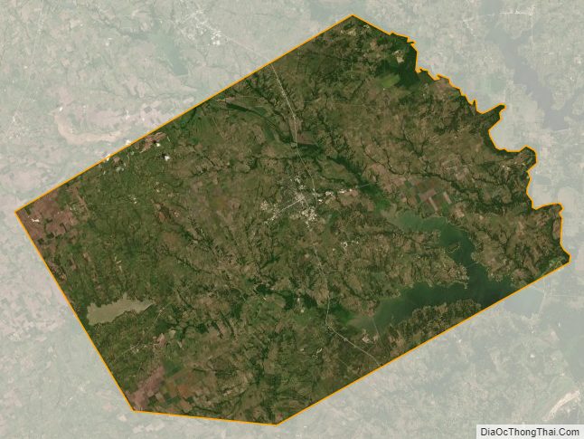
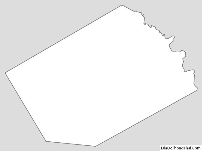
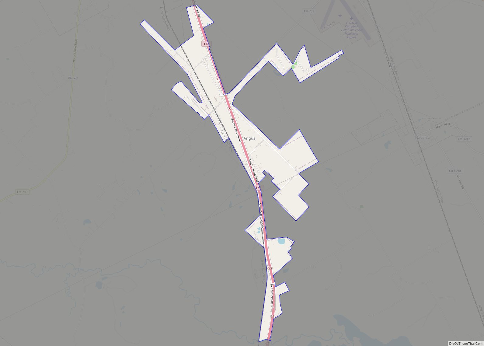
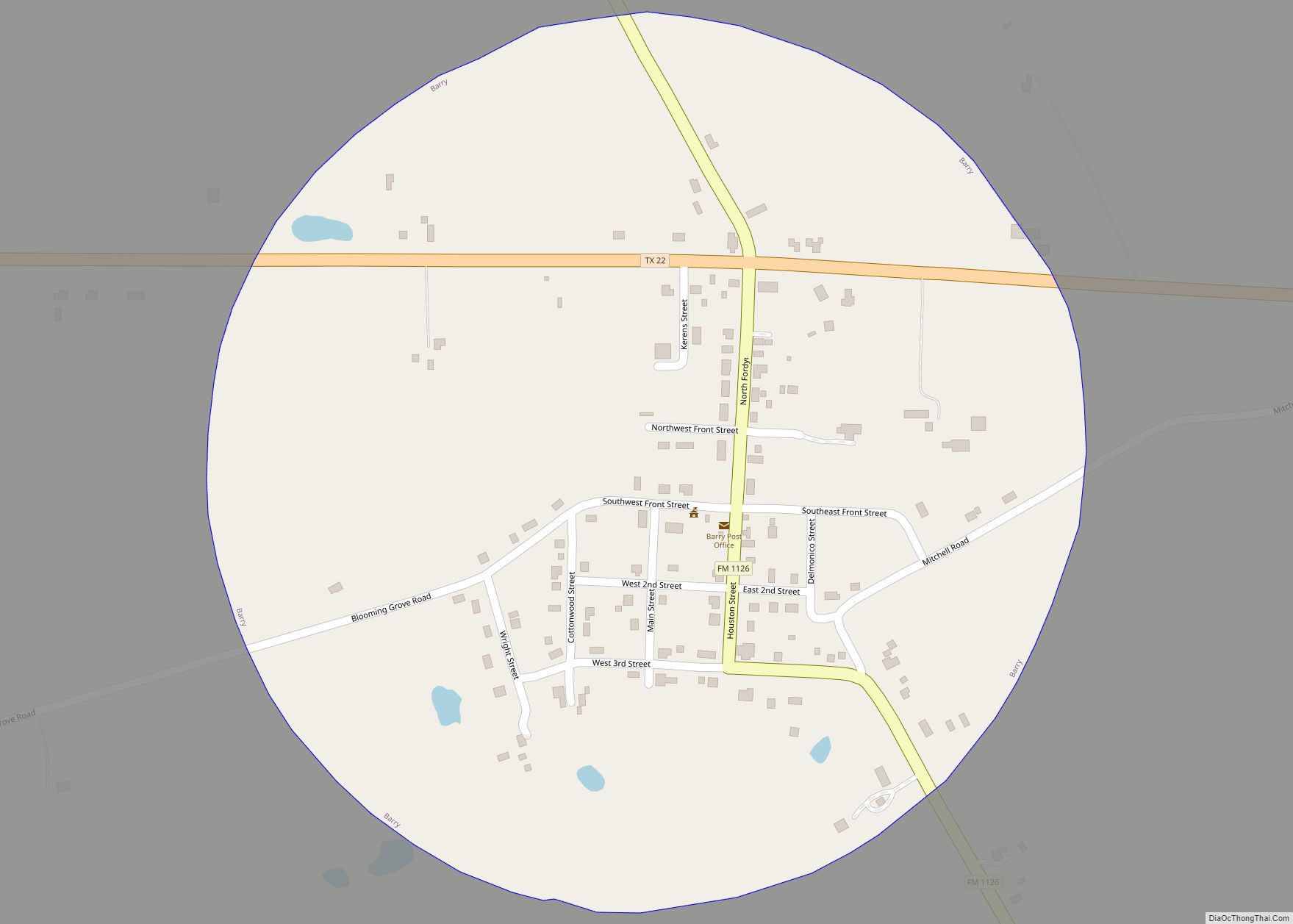
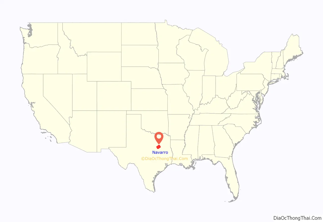
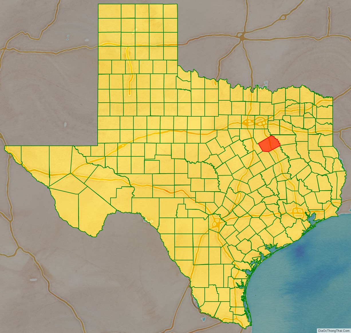
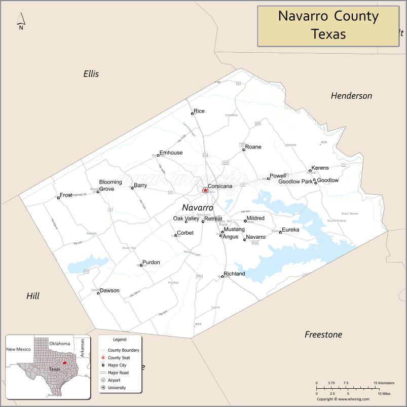
| Name: | Navarro County |
|---|---|
| FIPS code: | 48-349 |
| State: | Texas |
| Founded: | April 25, 1846 |
| Named for: | José Antonio Navarro |
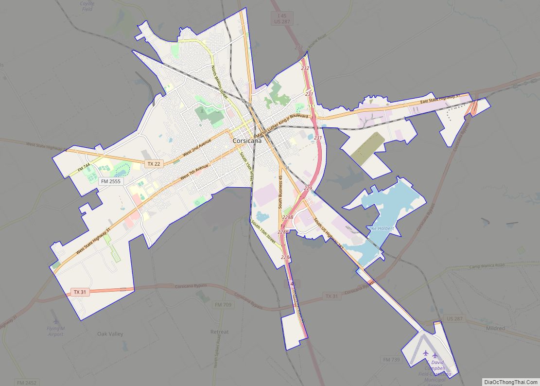
| Seat: | Corsicana |
| Largest city: | Corsicana |
| Total Area: | 1,086 sq mi (2,810 km²) |
| Land Area: | 1,010 sq mi (2,600 km²) |
| Total Population: | 52,624 |
| Population Density: | 48/sq mi (19/km²) |
| Time zone: | UTC−6 (Central) |
| Summer Time Zone (DST): | UTC−5 (CDT) |
| Website: | www.co.navarro.tx.us |
History
Navarro County was formed from Robertson County in 1846.

Geography
According to the U.S. Census Bureau, the county has a total area of 1,086 square miles (2,810 km), of which 76 square miles (200 km) (7.0%) are covered by water.
Major highways
- Interstate 45
- U.S. Highway 287
- State Highway 14
- State Highway 22
- State Highway 31
- State Highway 75
- State Highway 309
Adjacent counties
- Henderson County (northeast)
- Freestone County (southeast)
- Limestone County (south)
- Hill County (southwest)
- Ellis County (northwest)