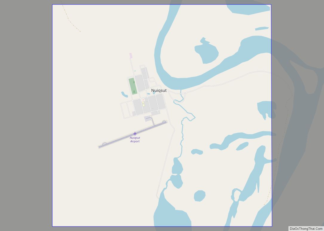
| Name: | North Slope Borough |
|---|---|
| FIPS code: | 02-185 |
| State: | Alaska |
| Named for: | Alaska North Slope |
| Seat: | Utqiaġvik |
| Largest city: | Utqiaġvik |
| Total Area: | 94,796 sq mi (245,520 km²) |
| Land Area: | 88,695 sq mi (229,720 km²) |
| Total Population: | 11,031 |
| Population Density: | 0.12/sq mi (0.045/km²) |
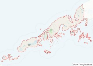
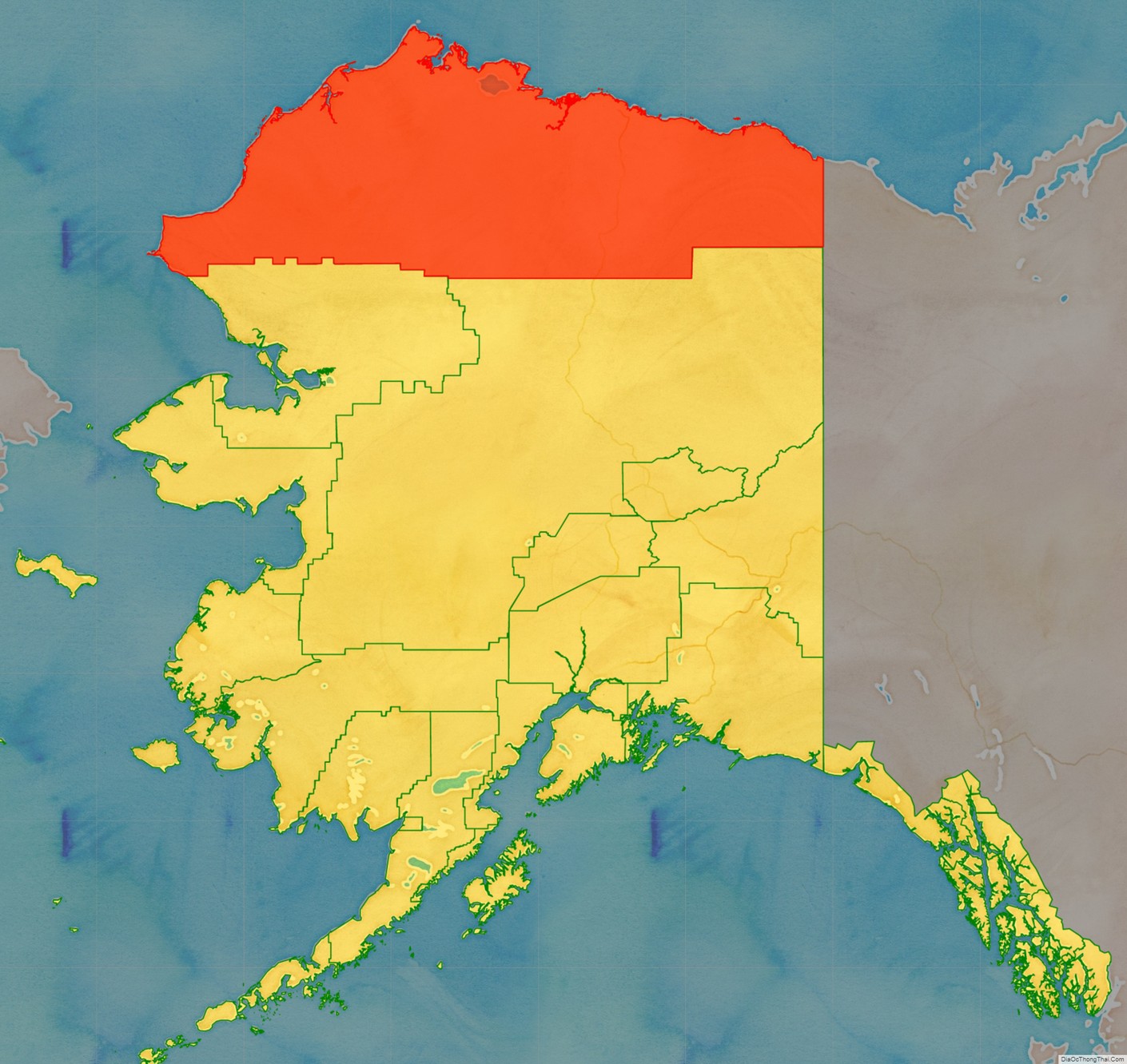
North Slope Borough location map. Where is North Slope Borough?
History
The borough was established in 1972 by an election of the majority Indigenous people in the region, following Congressional passage of the Alaska Native Claims Settlement Act. Most are Inupiat. The borough was named for the Alaska North Slope basin. In 1974 it adopted a Home Rule Charter, enabling it to exercise any legitimate governmental power. The borough has first-class status and exercises the powers of planning, zoning, taxation, and schools.
In 2020 airline Ravn Alaska went into bankruptcy and ended operations. The government of North Slope Borough attempted to take control of the airline’s assets in an attempt to keep flights and shipments coming to the community, but the Alaska Attorney General stated that the borough did not have that authority.
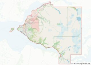
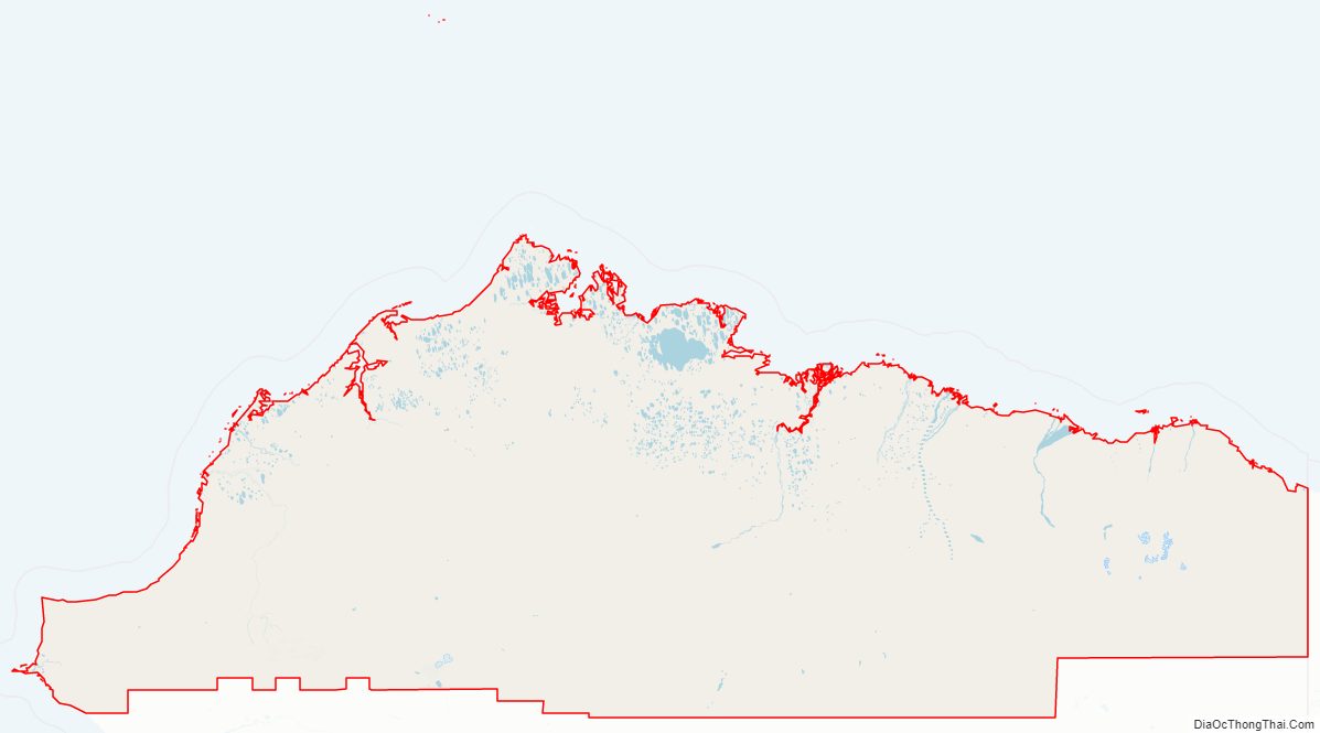
North Slope Borough Road Map
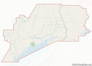
Geography
According to the United States Census Bureau, the borough has a total area of 94,796 square miles (245,520 km), of which 88,695 square miles (229,720 km) is land and 6,101 square miles (15,800 km) (6.4%) is water. The borough is larger than 39 states.
Its western coastline is along the Chukchi Sea, while its eastern shores (beyond Point Barrow) are on the Beaufort Sea.
The North Slope Borough is the largest county-level political subdivision in the United States by area, with a larger land area than the state of Utah (Utah is the 13th-largest state in the nation). Although the adjacent Yukon-Koyukuk Census Area is larger in area, it has no borough-level government. The borough is the fourth-least densely populated county-level entity in the United States. (The Yukon-Koyukuk Census Area is the least densely populated county-level entity).
Adjacent boroughs and census areas
- Yukon-Koyukuk Census Area, Alaska – southeast
- Northwest Arctic Borough, Alaska – southwest
It shares its eastern border with Yukon, Canada, which has no subdivisions.
National protected areas
- Alaska Maritime National Wildlife Refuge (part of the Chukchi Sea unit)
- Cape Lisburne
- Cape Thompson
- Arctic National Wildlife Refuge (part)
- Mollie Beattie Wilderness (part)
- Gates of the Arctic National Park and Preserve (part)
- Gates of the Arctic Wilderness (part)
- Noatak National Preserve (part)
- Noatak Wilderness (part)
Other federal areas
- National Petroleum Reserve–Alaska
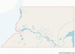
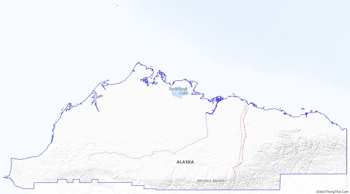
North Slope Borough Topographic Map
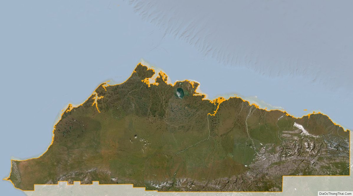
North Slope Borough Satellite Map
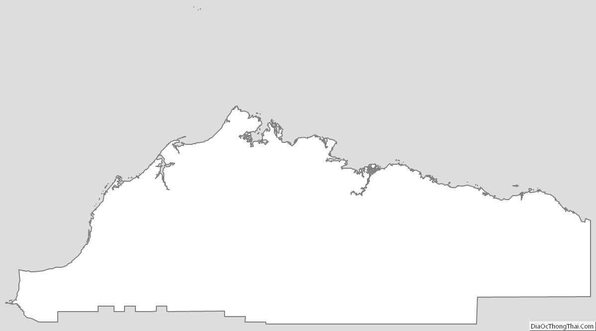
North Slope Borough Outline Map