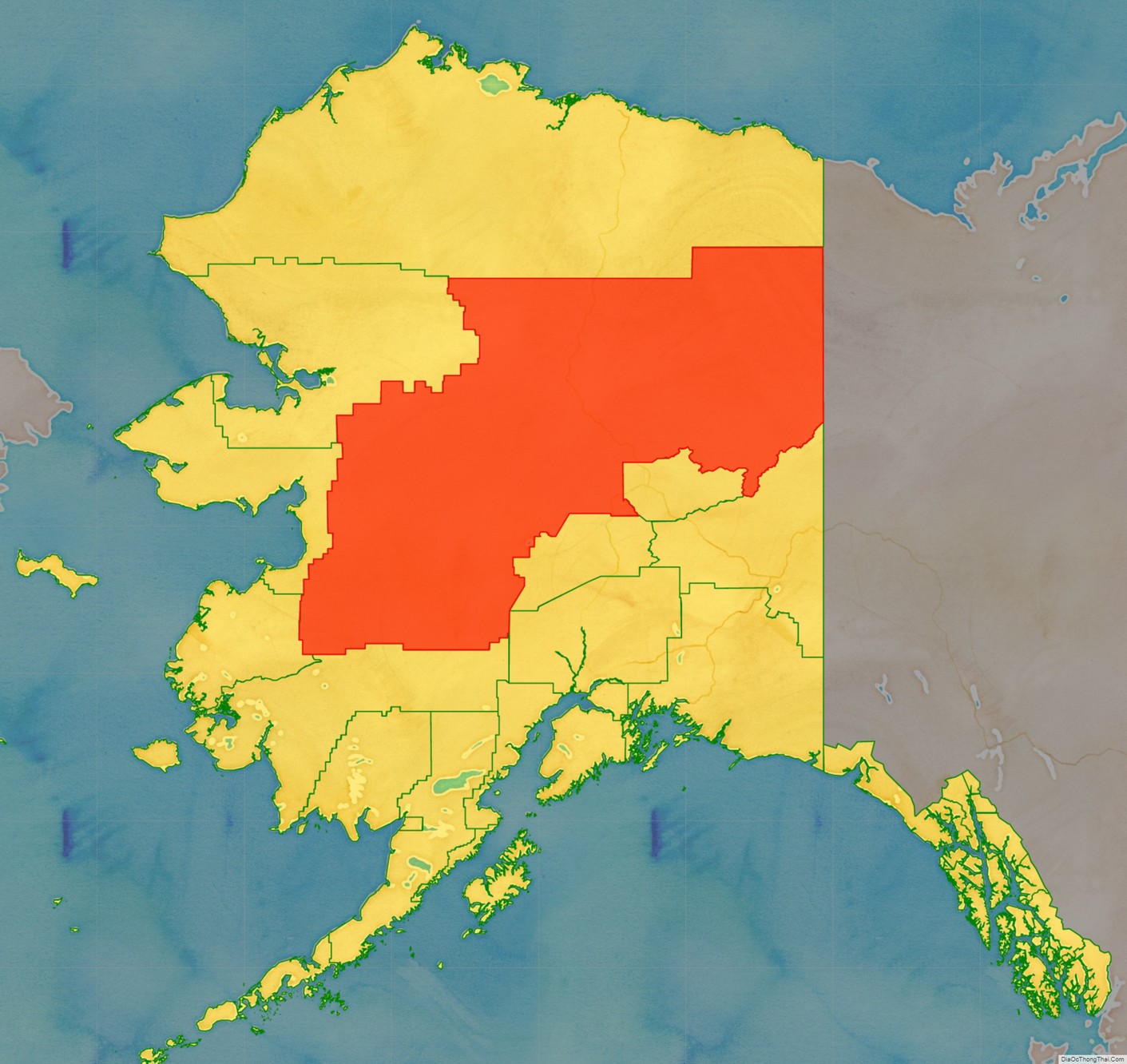
Yukon–Koyukuk Census Area (/ˈjuːkɒn ˈkaɪjəkək/) is a census area in the U.S. state of Alaska. As of the 2020 census, the population was 5,343, down from 5,588 in 2010. With an area of 147,842.51 sq mi (382,910.3 km), it is the largest of any county or county-equivalent in the United States, or about the same size as the entire state of Montana. It is part of the unorganized borough of Alaska and therefore has no borough seat. Its largest communities are the cities of Galena, in the west, and Fort Yukon, in the northeast.
| Name: | Yukon-Koyukuk Census Area |
|---|---|
| FIPS code: | 02-290 |
| State: | Alaska |
| Named for: | Yukon River and Koyukuk River |
| Largest city: | Fort Yukon |
| Total Area: | 147,805 sq mi (382,810 km²) |
| Land Area: | 145,505 sq mi (376,860 km²) |
| Total Population: | 5,343 |
| Population Density: | 0.038/sq mi (0.015/km²) |
Yukon-Koyukuk Census Area location map. Where is Yukon-Koyukuk Census Area?
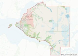
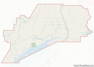
Yukon-Koyukuk Census Area Road Map
Geography
According to the U.S. Census Bureau, the census area has 147,805 square miles (382,810 km), of which 145,505 square miles (376,860 km) is land and 2,300 square miles (6,000 km) (1.6%) is water. The area is roughly the same size as the entire U.S. state of Montana, itself the fourth largest state, or the country of Japan, and makes up slightly more than 1/5 of the state of Alaska. The area is bigger than 47 of the other 49 states, with only California and Texas being bigger. Its population density, at 0.0449 inhabitants per square mile (0.0173/km), is the lowest in the United States.
Adjacent boroughs and census areas
- North Slope Borough, Alaska – north
- Southeast Fairbanks Census Area, Alaska – southeast
- Fairbanks North Star Borough, Alaska – southeast
- Denali Borough, Alaska – southeast
- Matanuska-Susitna Borough, Alaska – south
- Bethel Census Area, Alaska – south
- Kusilvak Census Area, Alaska – west
- Nome Census Area, Alaska – west
- Northwest Arctic Borough, Alaska – west
- Yukon Territory, Canada – east
National protected areas
- Arctic National Wildlife Refuge (part)
- Mollie Beattie Wilderness (part)
- Gates of the Arctic National Park and Preserve (part)
- Gates of the Arctic Wilderness (part)
- Innoko National Wildlife Refuge
- Innoko Wilderness
- Kanuti National Wildlife Refuge
- Koyukuk National Wildlife Refuge (part)
- Koyukuk Wilderness (part)
- Noatak National Preserve
- Nowitna National Wildlife Refuge
- Selawik National Wildlife Refuge (part)
- Selawik Wilderness (part)
- Steese National Conservation Area
- White Mountains National Recreation Area
- Yukon–Charley Rivers National Preserve (part)
- Yukon Flats National Wildlife Refuge
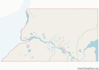
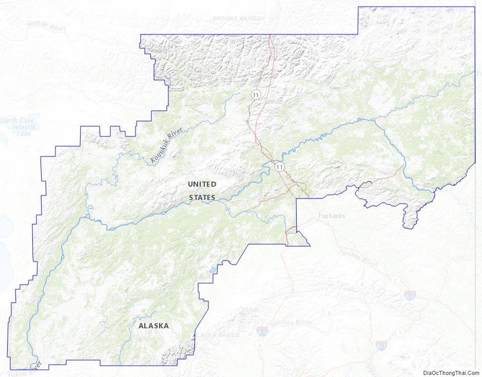
Yukon-Koyukuk Census Area Topographic Map
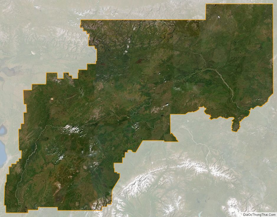
Yukon-Koyukuk Census Area Satellite Map
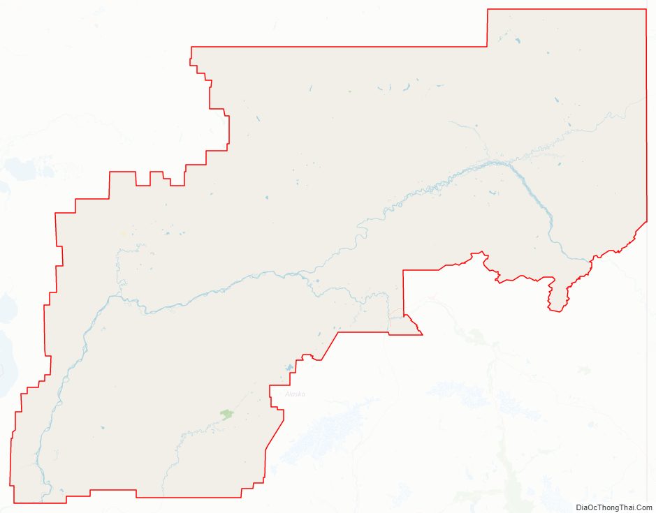
Yukon-Koyukuk Census Area Outline Map