Sandusky County is a county located in the northwestern part of the U.S. state of Ohio. It is southeast of the Toledo Metropolitan Area. As of the 2020 census, the population was 58,896. Its county seat is Fremont. The county was formed on February 12, 1820, from portions of Huron County.
The name is derived from the Wyandot word meaning “water” (Wyandot: saandustee),which is also the name of the major river through the county. The Sandusky River runs diagonally northeast through the county to its mouth on Sandusky Bay. The bay opens into Lake Erie.
The Fremont, OH Micropolitan Statistical Area includes all of Sandusky County.
| Name: | Sandusky County |
|---|---|
| FIPS code: | 39-143 |
| State: | Ohio |
| Founded: | February 12, 1820 |
| Named for: | Sandusky River |
| Seat: | Fremont |
| Largest city: | Fremont |
| Total Area: | 418 sq mi (1,080 km²) |
| Land Area: | 408 sq mi (1,060 km²) |
| Total Population: | 58,896 |
| Population Density: | 140/sq mi (54/km²) |
| Time zone: | UTC−5 (Eastern) |
| Summer Time Zone (DST): | UTC−4 (EDT) |
| Website: | www.sandusky-county.com |
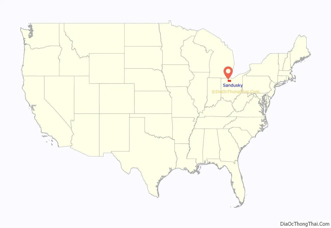
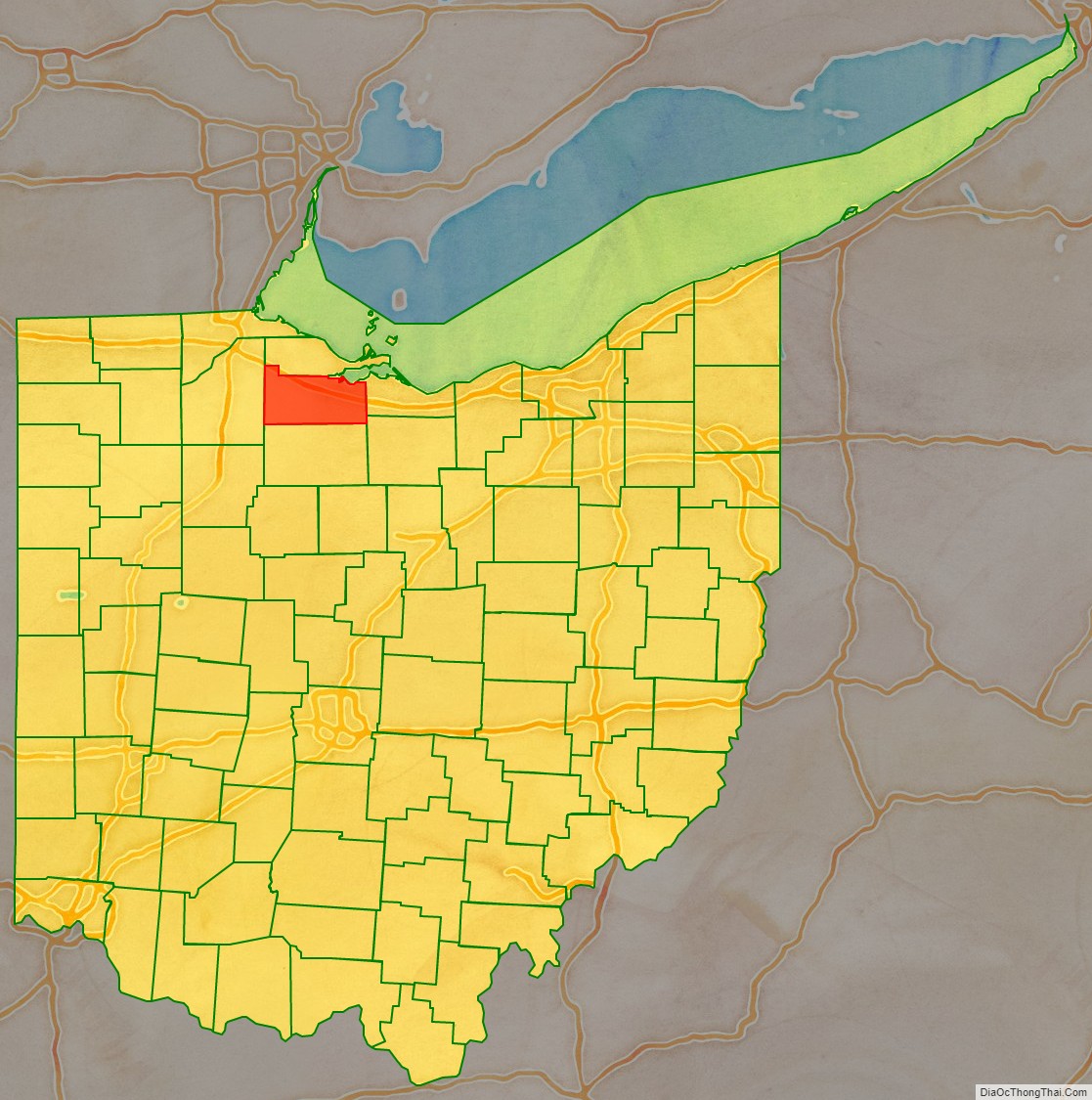
Sandusky County location map. Where is Sandusky County?
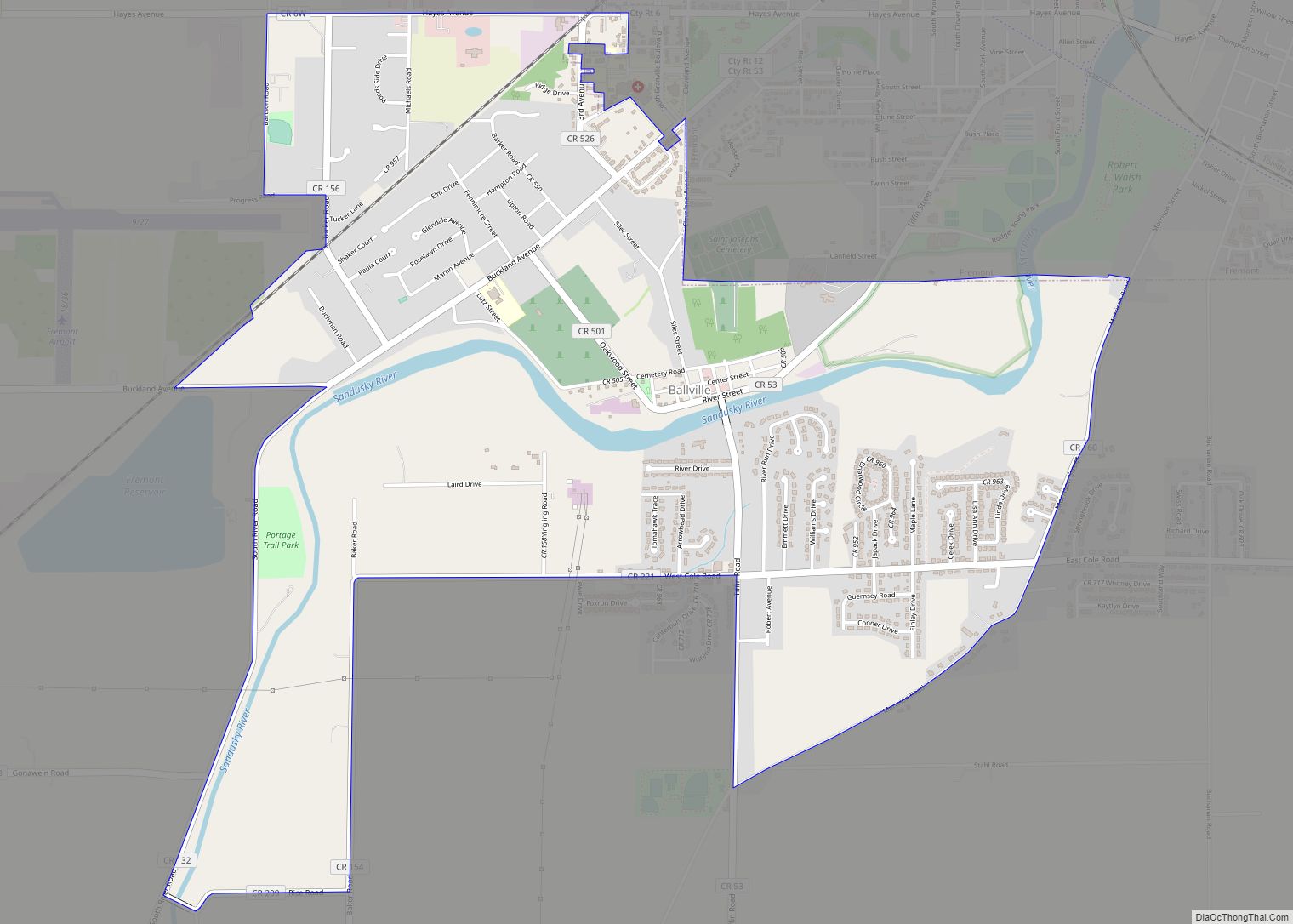
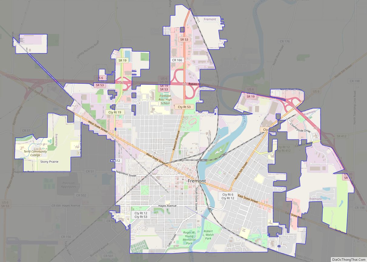
Sandusky County Road Map
Geography
According to the U.S. Census Bureau, the county has a total area of 418 square miles (1,080 km), of which 408 square miles (1,060 km) is land and 9.3 square miles (24 km) (2.2%) is water.
Adjacent counties
- Ottawa County (north)
- Erie County (east)
- Huron County (southeast)
- Seneca County (south)
- Wood County (west)
