Huron County (/ˈhjʊərɒn, -ən/ HURE-on, -ən) is a county located in the U.S. state of Ohio. As of the 2020 census, the population was 58,565. Its county seat is Norwalk. The county was created in 1809 and later organized in 1815.
Huron County is included in the Norwalk, OH Micropolitan Statistical Area, which is also included in the Cleveland-Akron–Canton, OH Combined Statistical Area.
| Name: | Huron County |
|---|---|
| FIPS code: | 39-077 |
| State: | Ohio |
| Founded: | April 1, 1815 |
| Named for: | Huron tribe |
| Seat: | Norwalk |
| Largest city: | Norwalk |
| Total Area: | 495 sq mi (1,280 km²) |
| Land Area: | 491 sq mi (1,270 km²) |
| Total Population: | 58,565 |
| Population Density: | 120/sq mi (46/km²) |
| Time zone: | UTC−5 (Eastern) |
| Summer Time Zone (DST): | UTC−4 (EDT) |
| Website: | www.huroncounty-oh.gov |
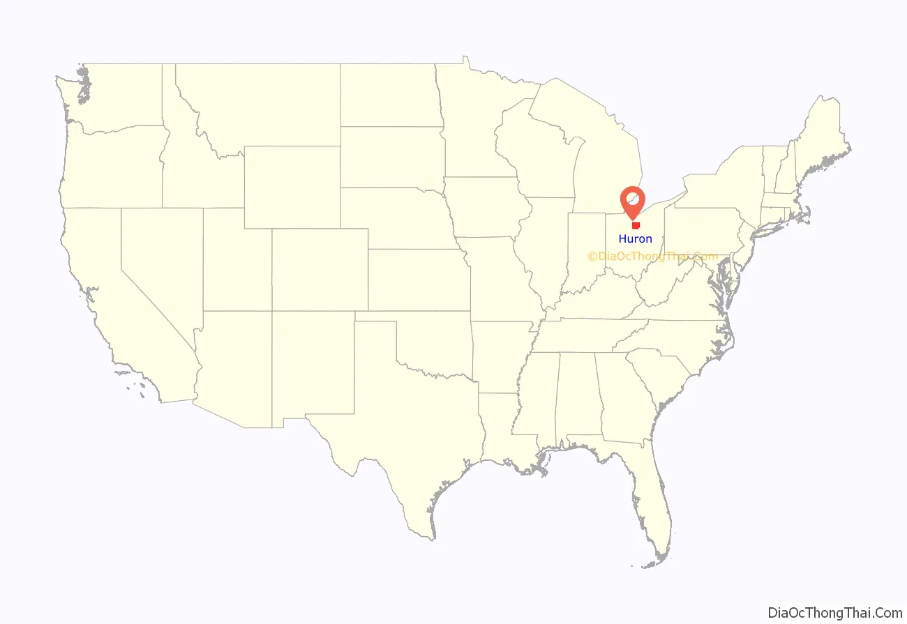
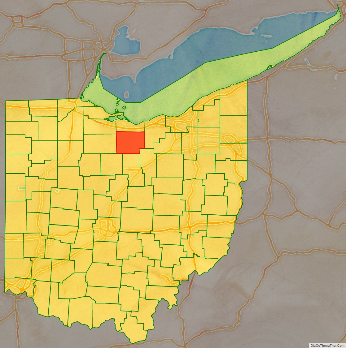
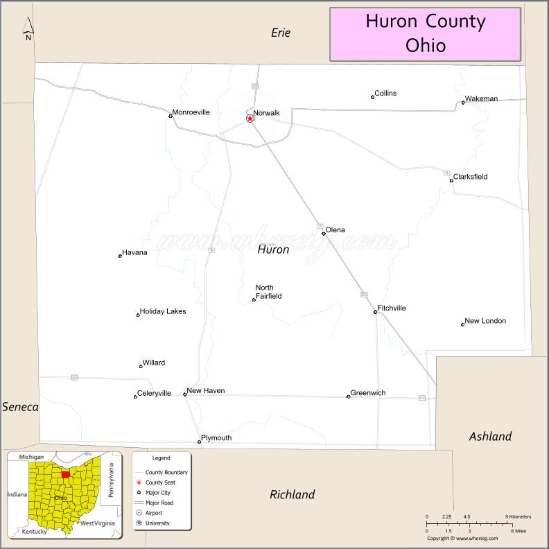
Huron County location map. Where is Huron County?
History
Huron County was named in honor of the Huron Indians (more correctly called the Wyandot), an Iroquoian-speaking tribe who occupied large areas in the Great Lakes region. The word “Huron” may be French, although this origin is disputed.
In the late 18th century this area was in the US Northwest Territory, part of the Connecticut Western Reserve in a sub-region called the Firelands. Connecticut had originally claimed the land as part of its original colony, then afterward wanted to use it to grant land to veterans in lieu of cash payment for their service in the war. In 1795 the Connecticut Land Company purchased this land for resale and development. Later it was solely administered by the “Fire Land Company”.
At its formation, Huron County consisted of all the Firelands. However, as the population increased in the region, the sections in the northern areas of the county were divided and assigned to the newly organized Erie and Ottawa counties, and a township in the southern section became part of the newly established Ashland County.
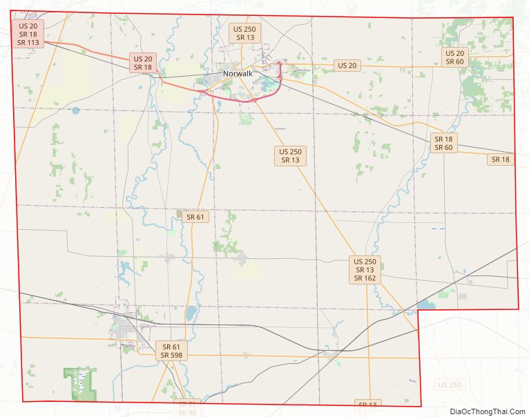
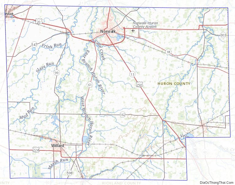
Huron County Road Map
Geography
According to the U.S. Census Bureau, the county has a total area of 495 square miles (1,280 km), of which 491 square miles (1,270 km) is land and 3.3 square miles (8.5 km) (0.7%) is water.
Adjacent counties
- Erie County (north)
- Lorain County (east)
- Ashland County (southeast)
- Richland County (south)
- Crawford County (southwest)
- Seneca County (west)
- Sandusky County (northwest)
Huron County Topographic Map
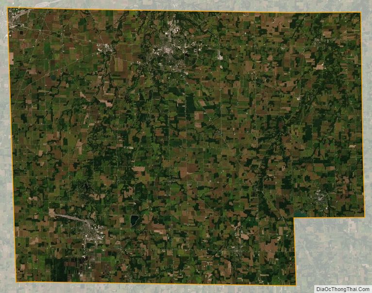
Huron County Satellite Map
Huron County Outline Map