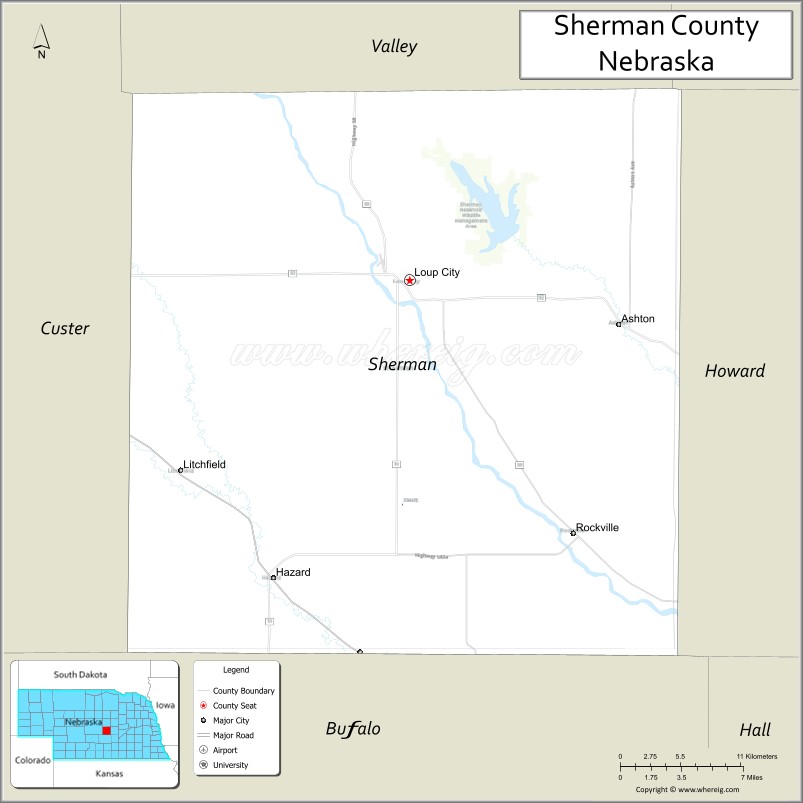
Sherman County is a county in the U.S. state of Nebraska. As of the 2010 United States Census, the population was 3,152. Its county seat is Loup City. The county was created in 1870, and was organized in 1872. It was named for American Civil War General William Tecumseh Sherman.
In the Nebraska license plate system, Sherman County is represented by the prefix 56 (it had the fifty-sixth-largest number of vehicles registered in the county when the license plate system was established in 1922).
| Name: | Sherman County |
|---|---|
| FIPS code: | 31-163 |
| State: | Nebraska |
| Founded: | 1871 |
| Named for: | William Tecumseh Sherman |
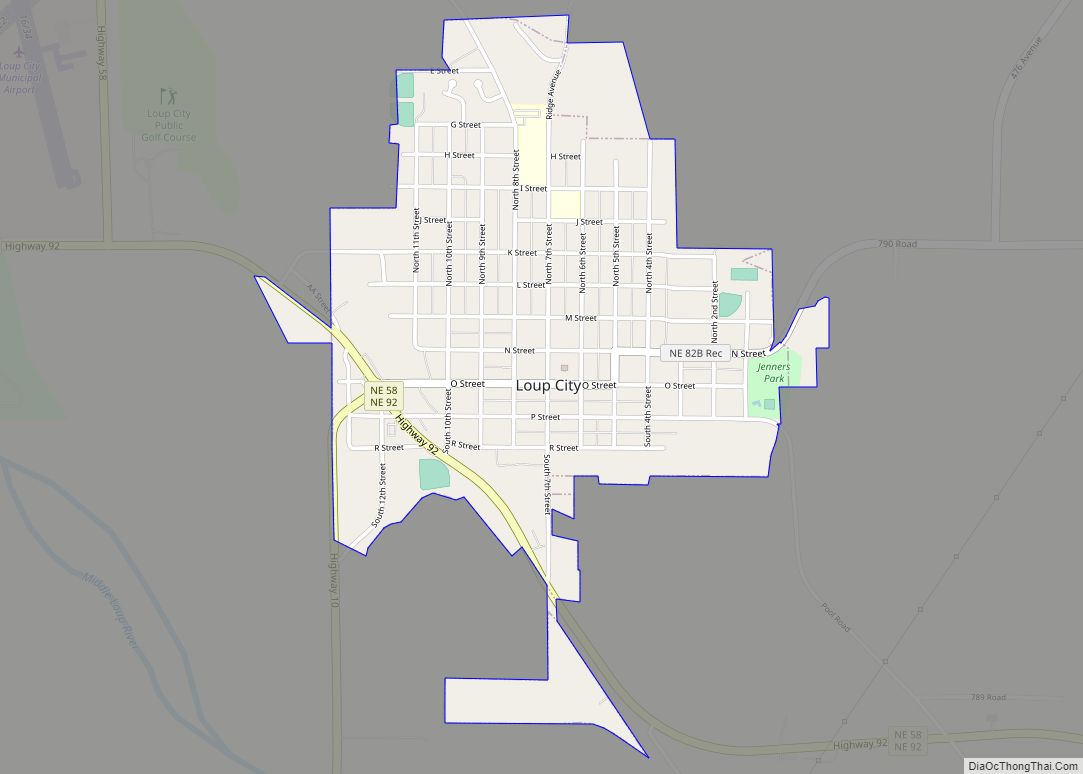
| Seat: | Loup City |
| Largest city: | Loup City |
| Total Area: | 572 sq mi (1,480 km²) |
| Land Area: | 566 sq mi (1,470 km²) |
| Total Population: | 2,959 |
| Population Density: | 5.17/sq mi (2.00/km²) |
| Time zone: | UTC−6 (Central) |
| Summer Time Zone (DST): | UTC−5 (CDT) |
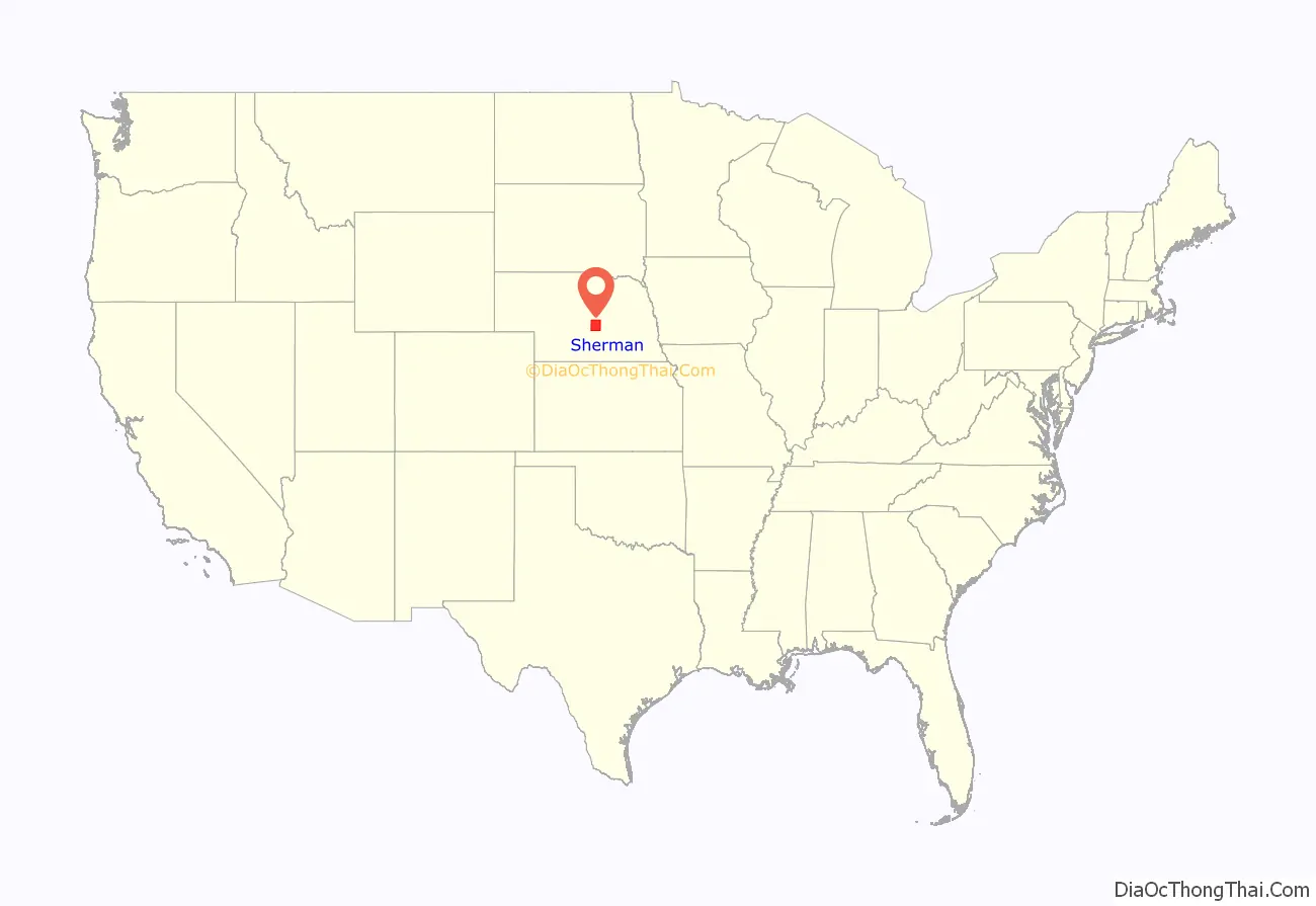
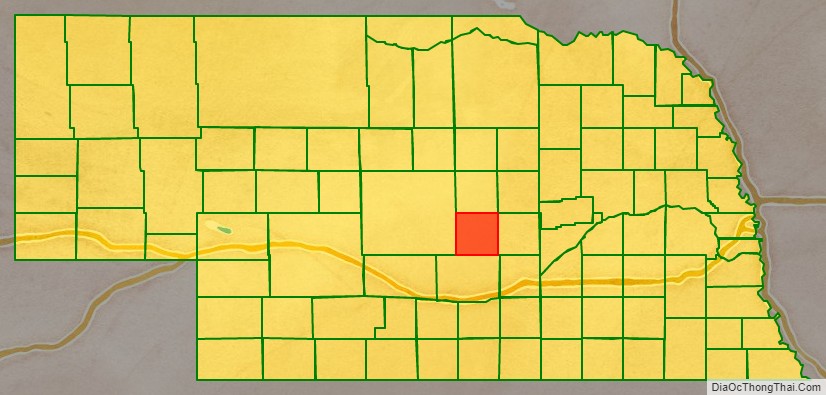
Sherman County location map. Where is Sherman County?
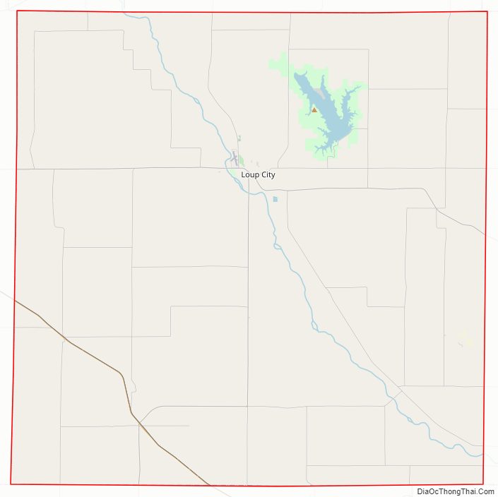
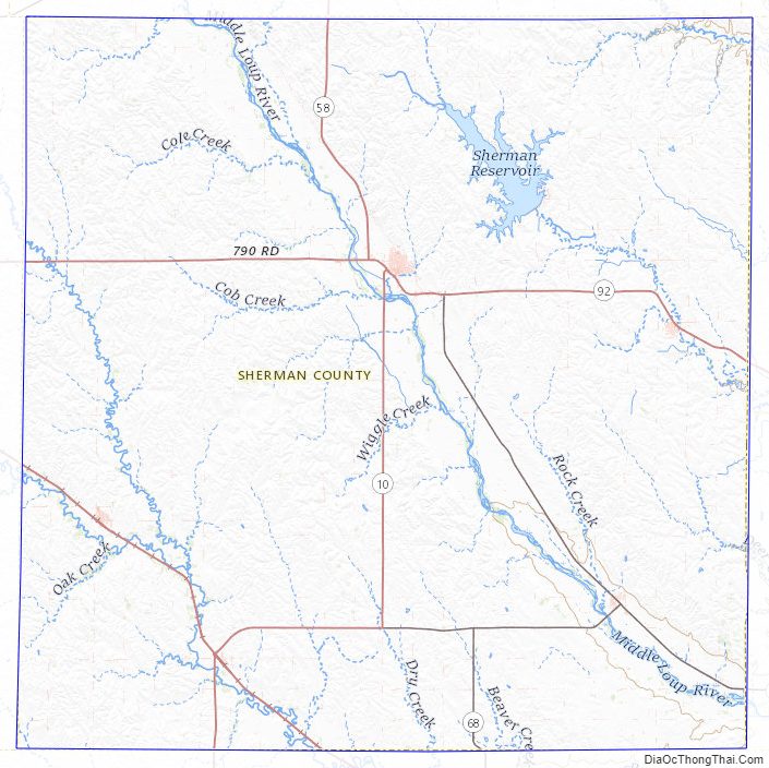
Sherman County Road Map
Geography
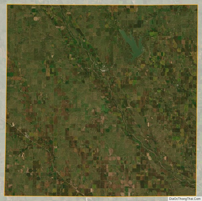
The terrain of Sherman County consists of rolling hills, sloping to the southeast. The area is partially dedicated to agriculture, with limited use of center pivot irrigation. The Middle Loup River flows south-southeastward through the eastern central part of the county. The western portions are drained by Clear Creek and Muddy Creek, which merge in the SW part of the county and exit the south boundary line, to discharge into Middle Loup River at a point southeast of the county’s SE corner.
The county has a total area of 572 square miles (1,480 km), of which 566 square miles (1,470 km) is land and 5.8 square miles (15 km) (1.0%) is water.
Major highways
- Nebraska Highway 2
- Nebraska Highway 10
- Nebraska Highway 58
- Nebraska Highway 68
- Nebraska Highway 92
Adjacent counties
- Howard County – east
- Buffalo County – south
- Custer County – west
- Valley County – north
- Greeley County – northeast
Protected areas
- Sherman Reservoir State Recreation Area
Sherman County Topographic Map
Sherman County Satellite Map
Sherman County Outline Map