Stone County is a county located in the U.S. state of Mississippi. As of the 2020 census, the population was 18,333. Its county seat is Wiggins. Stone County was formed from the northern portion of Harrison County on June 5, 1916. The county was named for John M. Stone, who served as Governor of Mississippi from 1876 to 1882 and again from 1890 to 1896.
Stone County is included in the Gulfport-Biloxi, MS Metropolitan Statistical Area. In 1918, the Stone County Courthouse was completed at a cost of $29,515.18, and is still in use today, after several renovations.
| Name: | Stone County |
|---|---|
| FIPS code: | 28-131 |
| State: | Mississippi |
| Founded: | 1916 |
| Named for: | John M. Stone |
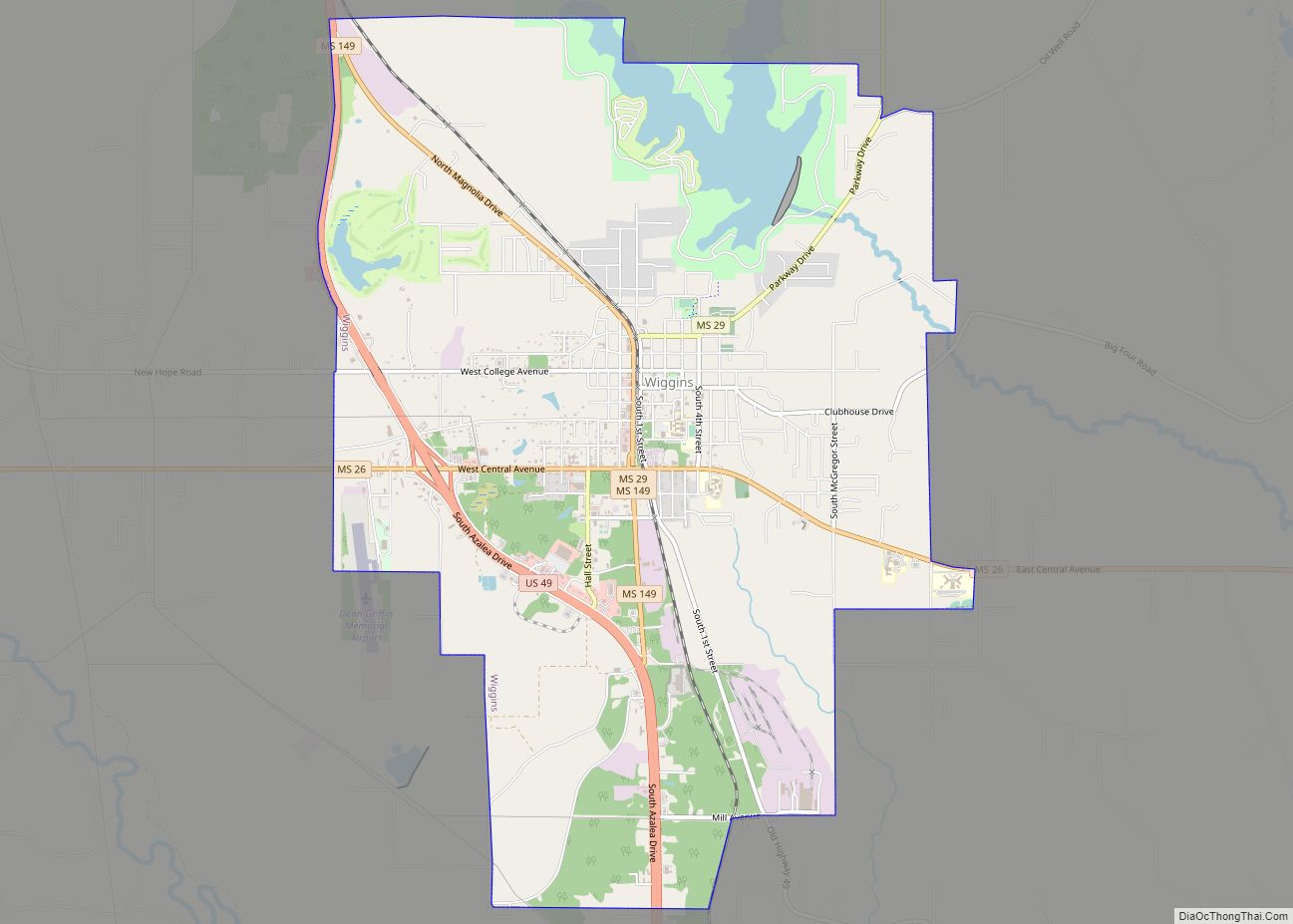
| Seat: | Wiggins |
| Largest city: | Wiggins |
| Total Area: | 448 sq mi (1,160 km²) |
| Land Area: | 445 sq mi (1,150 km²) |
| Total Population: | 18,333 |
| Population Density: | 41/sq mi (16/km²) |
| Time zone: | UTC−6 (Central) |
| Summer Time Zone (DST): | UTC−5 (CDT) |
| Website: | www.stonecountyms.gov |
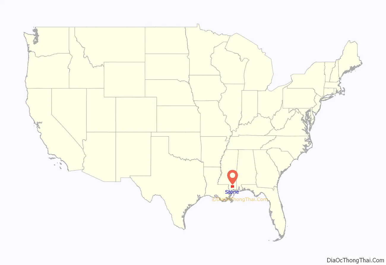
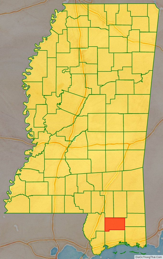
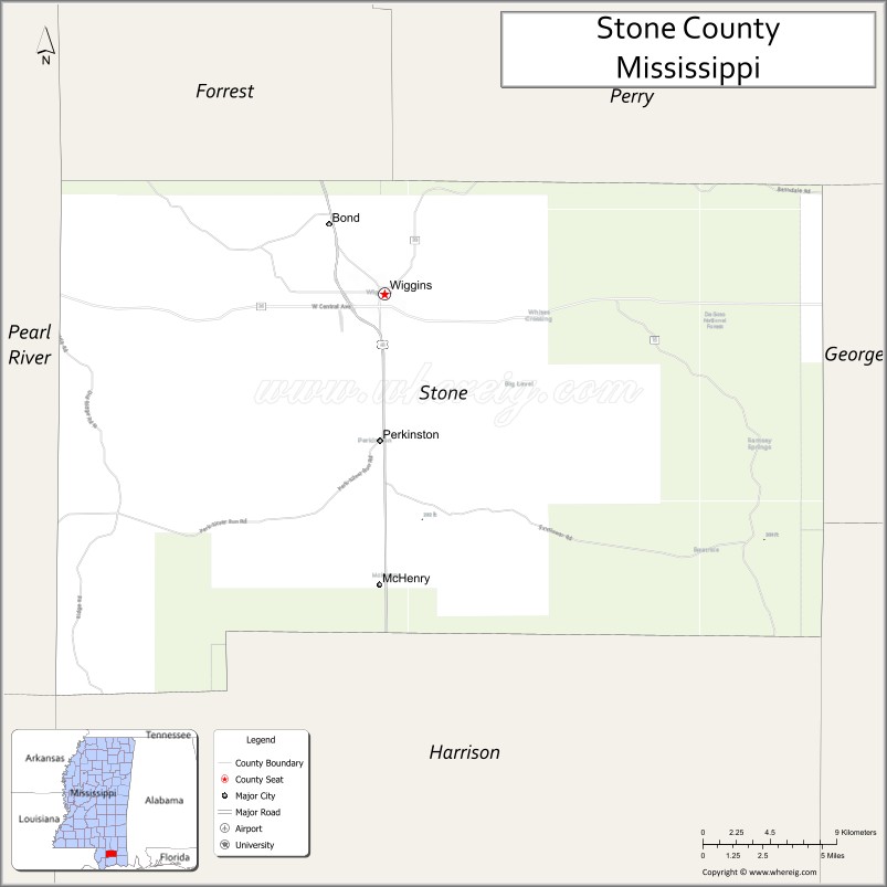
Stone County location map. Where is Stone County?
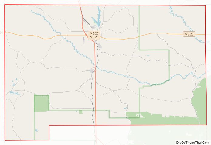
Stone County Road Map
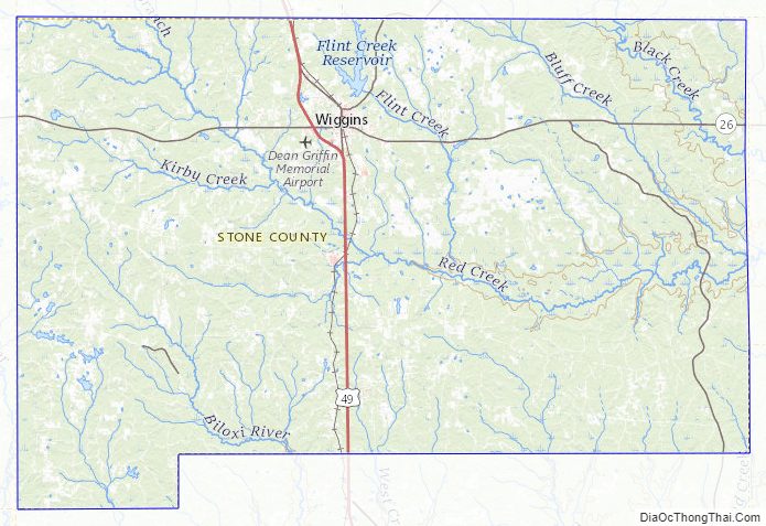
Geography
According to the U.S. Census Bureau, the county has a total area of 448 square miles (1,160 km), of which 445 square miles (1,150 km) is land and 2.6 square miles (6.7 km) (0.6%) is water.
Major highways
- U.S. Highway 49
- Mississippi Highway 15
- Mississippi Highway 26
- Mississippi Highway 29
Adjacent counties
- Perry County (northeast)
- George County (east)
- Jackson County (southeast)
- Harrison County (south)
- Pearl River County (west)
- Forrest County (northwest)
National protected areas
- De Soto National Forest (part)
- Sweetbay Bogs Preserve
Stone County Topographic Map
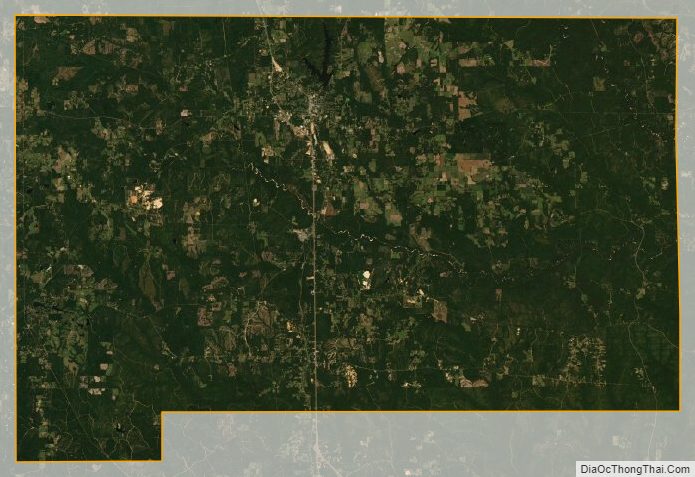
Stone County Satellite Map
Stone County Outline Map