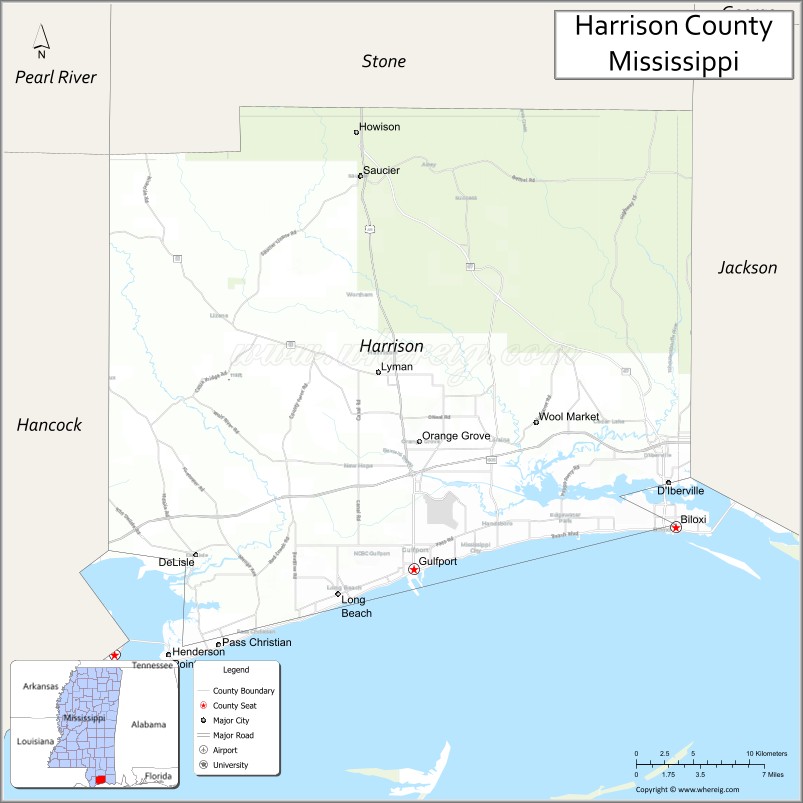
Harrison County is a county located in the U.S. state of Mississippi. As of the 2020 census, the population was 208,621, making it the second-most populous county in Mississippi. Its county seats are Biloxi and Gulfport. The county is named after U.S. President William Henry Harrison.
Harrison County is part of the Gulfport-Biloxi metropolitan area.
The county was severely damaged from both Hurricane Camille on August 17, 1969, and Hurricane Katrina on August 29, 2005, causing catastrophic effects.
| Name: | Harrison County |
|---|---|
| FIPS code: | 28-047 |
| State: | Mississippi |
| Founded: | 1841 |
| Named for: | William Henry Harrison |
| Seat: | Biloxi and Gulfport |
| Largest city: | Gulfport |
| Total Area: | 976 sq mi (2,530 km²) |
| Land Area: | 574 sq mi (1,490 km²) |
| Total Population: | 208,621 |
| Population Density: | 362/sq mi (140/km²) |
| Time zone: | UTC−6 (Central) |
| Summer Time Zone (DST): | UTC−5 (CDT) |
| Website: | harrisoncountyms.gov |
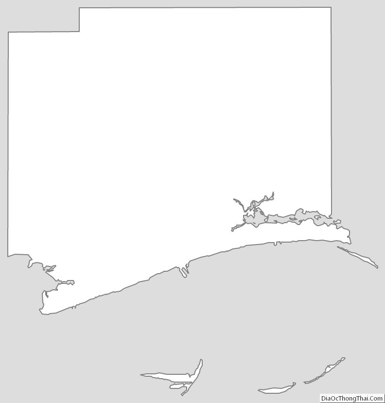
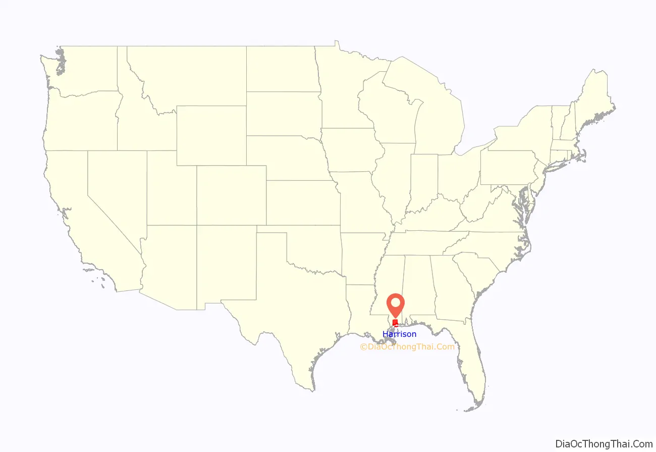
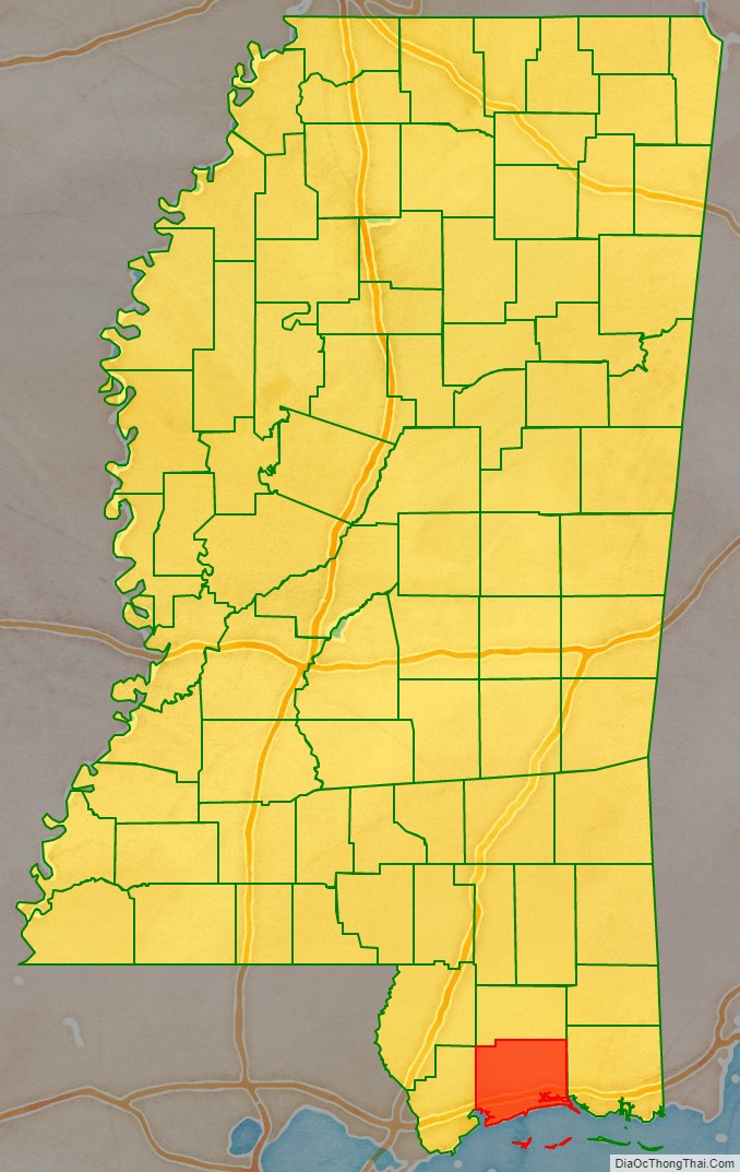
Harrison County location map. Where is Harrison County?
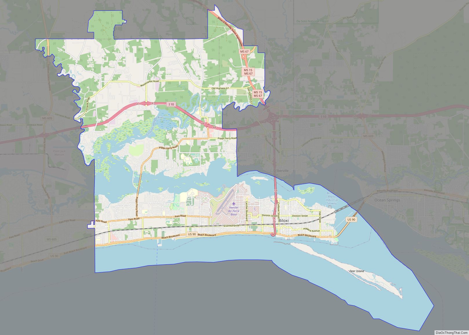
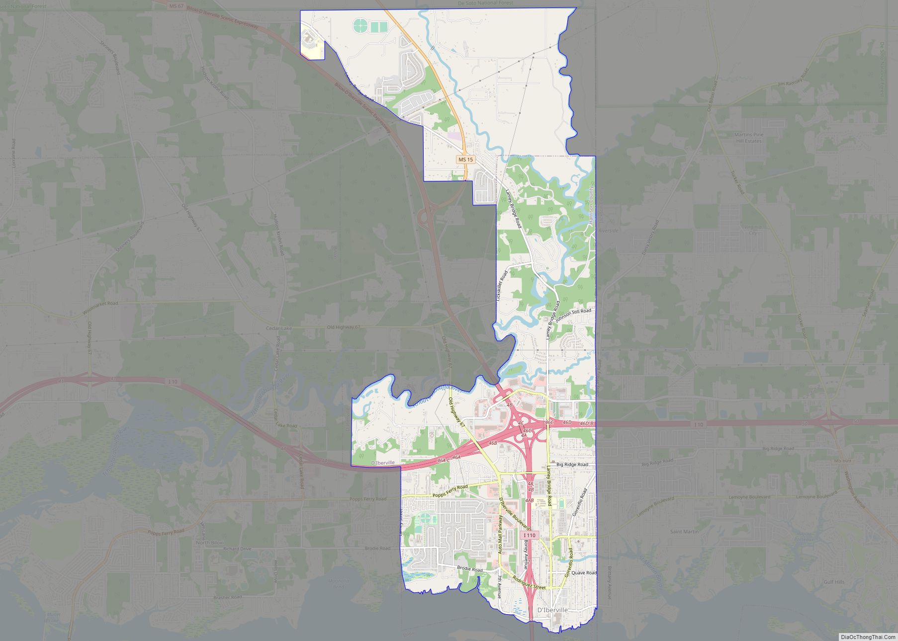
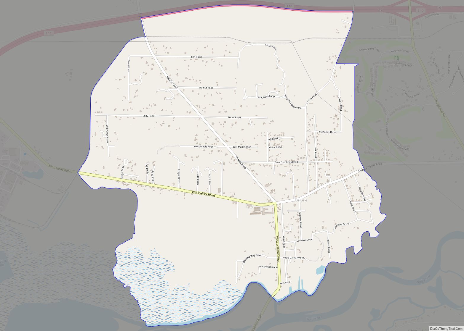
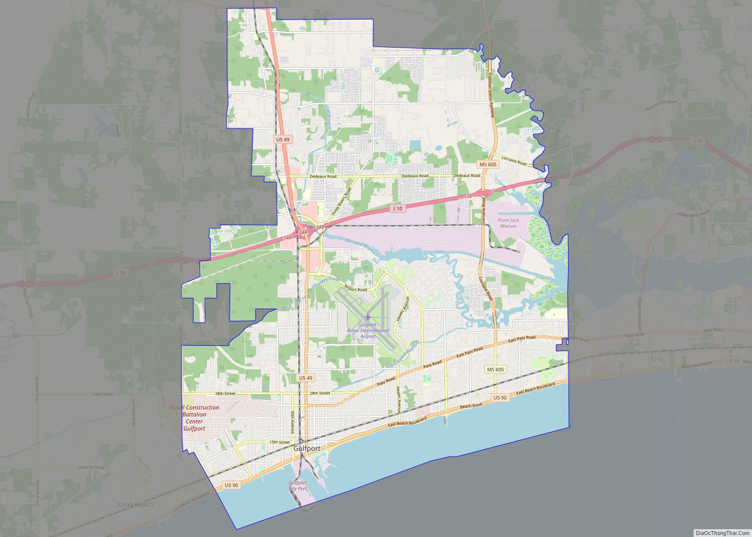
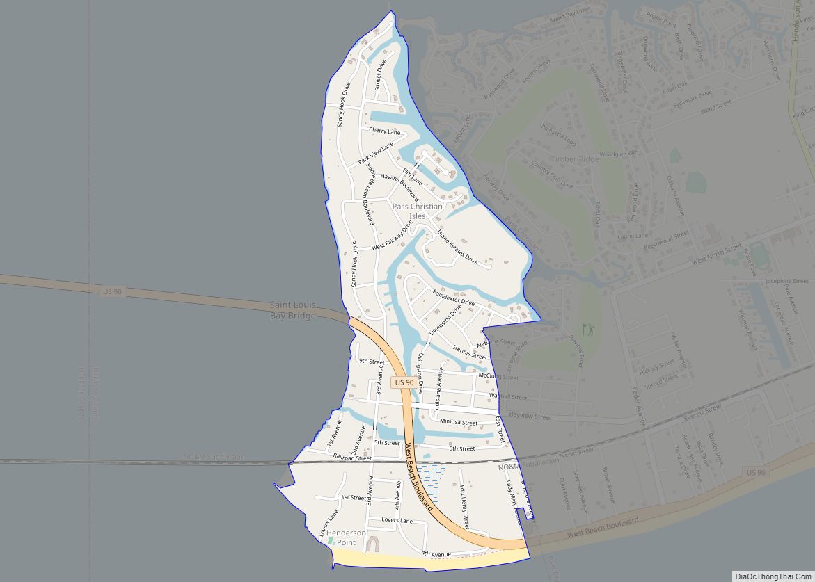
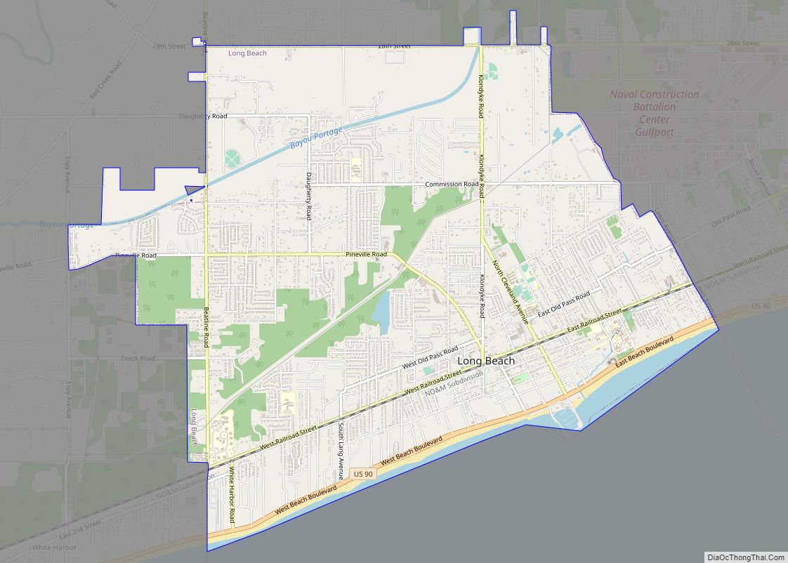
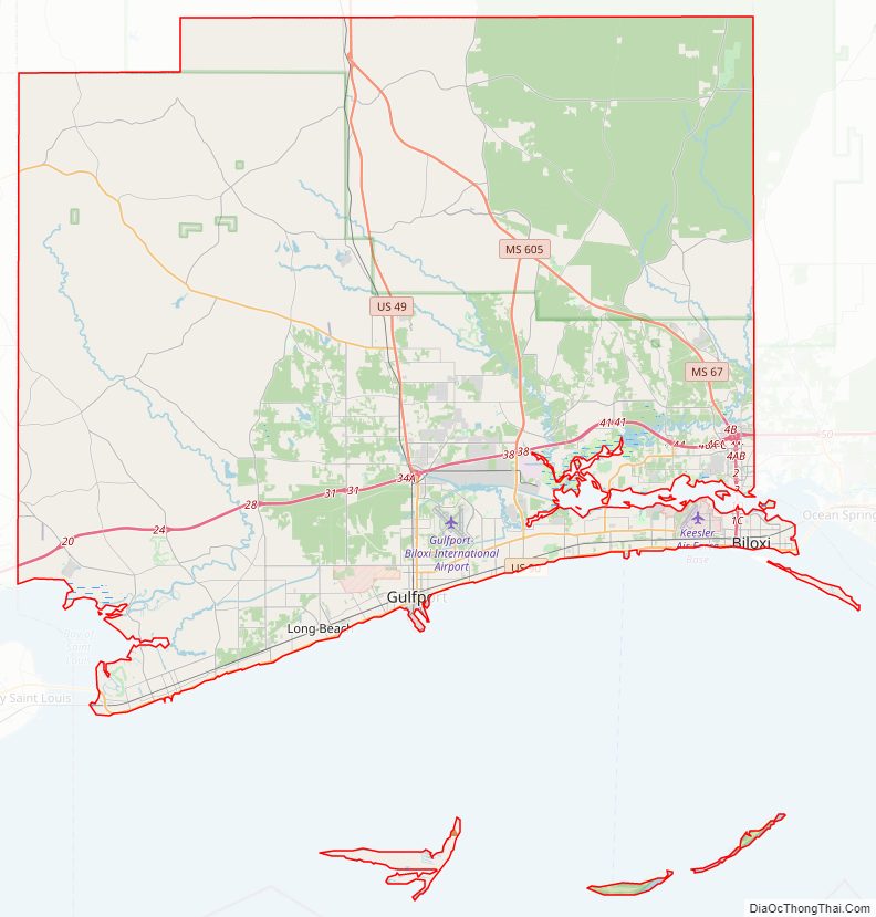
Harrison County Road Map
Geography
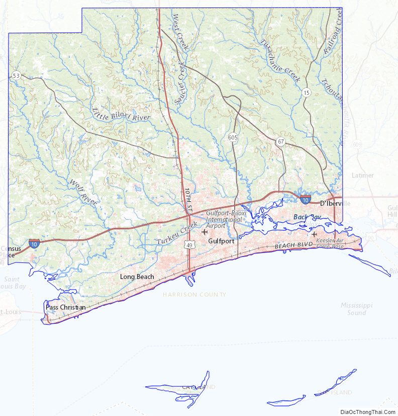
According to the United States Census Bureau, the county has a total area of 976 square miles (2,530 km), of which 402 square miles (1,040 km) (41%) are covered by water. The Tchoutacabouffa River has its mouth at Biloxi Bay just north of the city of Biloxi. Gulfport, Mississippi, is the chief port in the state, with access to the Gulf of Mexico through a ship channel. This is the second-largest county in Mississippi by total area.
Wildlife
A single pond in the county contains the critically endangered dusky gopher frog.
Major highways
- Interstate 10
- Interstate 110
- U.S. Highway 49
- U.S. Highway 90
- Mississippi Highway 15
- Mississippi Highway 53
- Mississippi Highway 67
- Mississippi Highway 605
- Mississippi Highway 43
Adjacent counties and parishes
- Stone County (north)
- Jackson County (east)
- Hancock County (west)
- St. Bernard Parish, Louisiana (southwest)
National protected areas
- De Soto National Forest (part)
- Gulf Islands National Seashore (part)
Harrison County Topographic Map
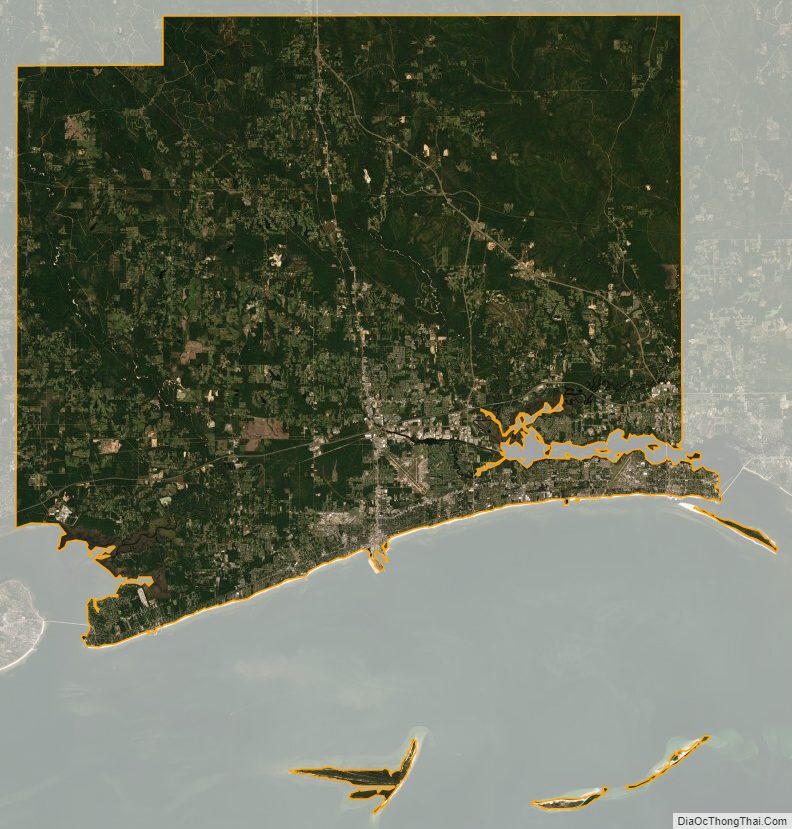
Harrison County Satellite Map
Harrison County Outline Map