Suwannee County is a county located in the north central portion of the state of Florida. As of the 2020 census, the population was 43,474, up from 41,551 in 2010. Its county seat is Live Oak. Suwannee County was a dry county until August 2011, when the sale of alcoholic beverages became legal in the county.
| Name: | Suwannee County |
|---|---|
| FIPS code: | 12-121 |
| State: | Florida |
| Founded: | December 21, 1858 |
| Named for: | Suwannee River |
| Seat: | Live Oak |
| Largest city: | Live Oak |
| Total Area: | 692 sq mi (1,790 km²) |
| Land Area: | 689 sq mi (1,780 km²) |
| Total Population: | 43,474 |
| Time zone: | UTC−5 (Eastern) |
| Summer Time Zone (DST): | UTC−4 (EDT) |
| Website: | suwanneecountyfl.gov |
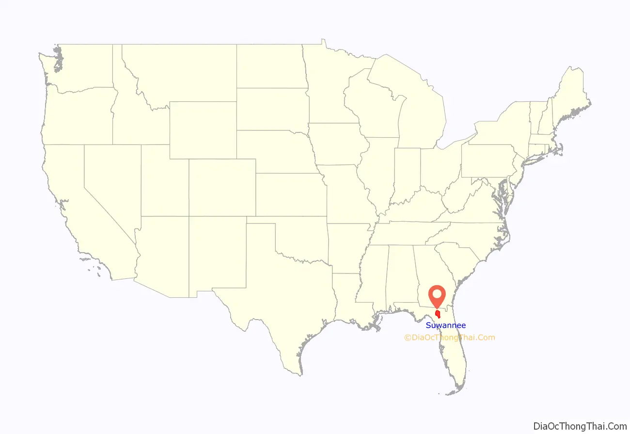
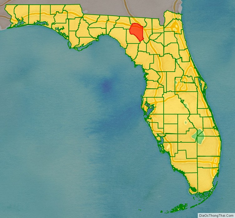
Suwannee County location map. Where is Suwannee County?
History
Suwannee County was created in 1858, as railways were constructed through the area connecting it to Jacksonville, Tallahassee, and points north. It was named after the Suwannee River, which forms the county’s northern, western, and much of its southern border. The word “Suwannee” may either be a corruption of the Spanish San Juan (“Saint John”) or from the Cherokee sawani (“echo river”).
The rural areas supported numerous lumber and turpentine camps. In the 1930s, anthropologist Zora Neale Hurston did research in North Florida timber camps.
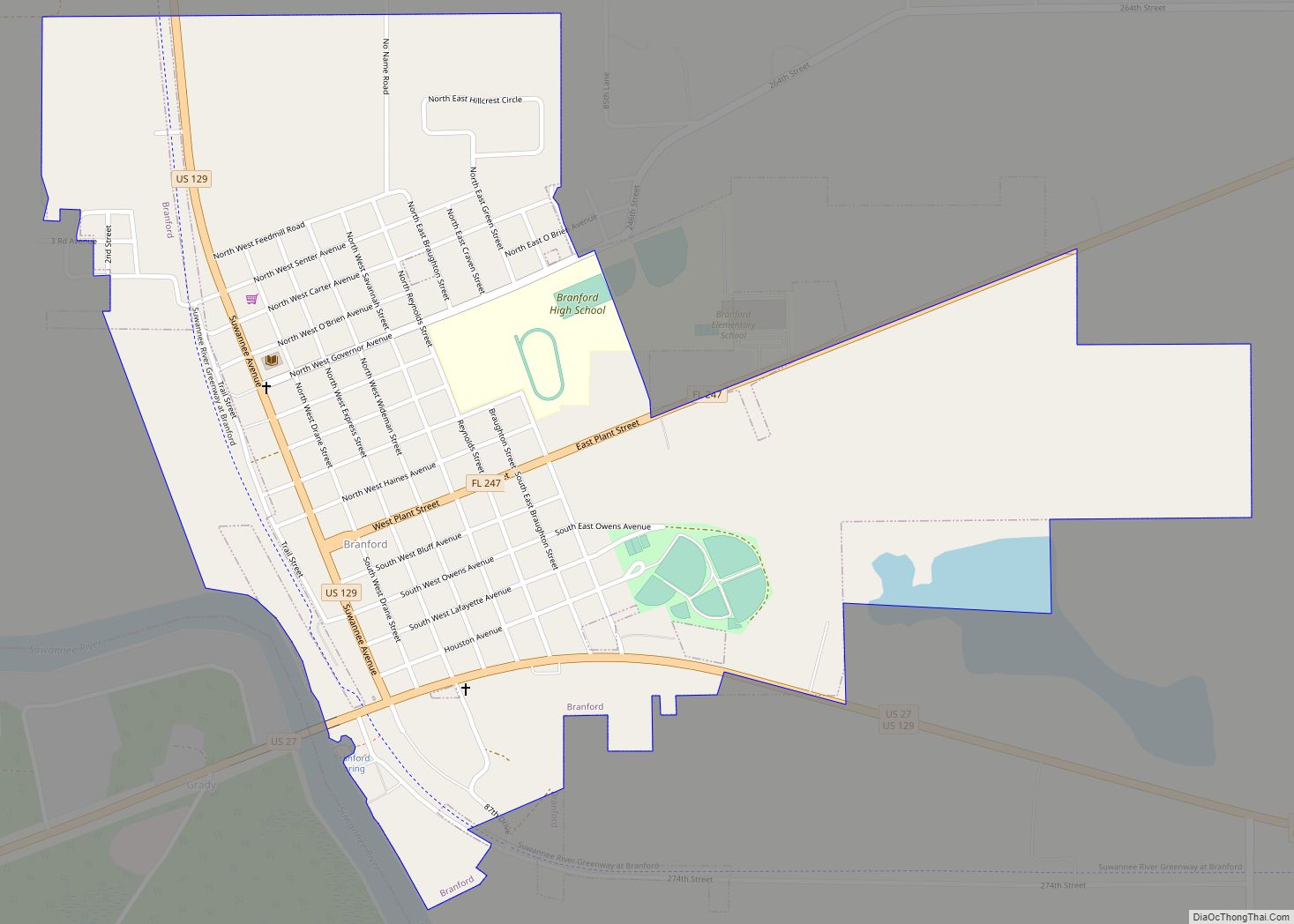
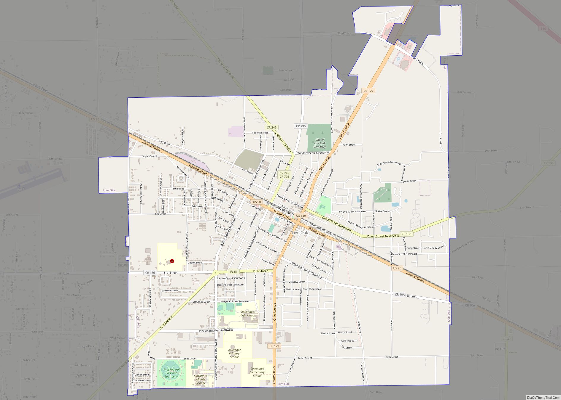
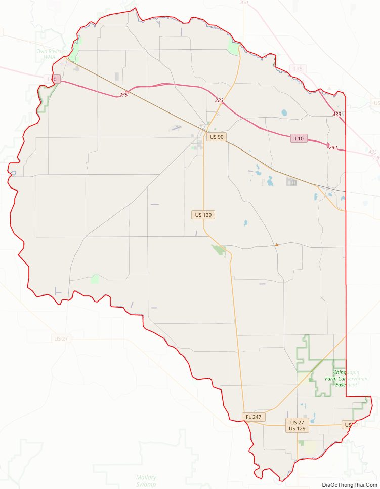
Suwannee County Road Map
Geography
According to the U.S. Census Bureau, the county has a total area of 692 square miles (1,790 km), of which 689 square miles (1,780 km) is land and 3.7 square miles (9.6 km) (0.5%) is water.
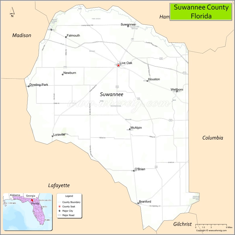
Adjacent counties
- Hamilton County – north
- Columbia County – east
- Gilchrist County – southeast
- Lafayette County – west
- Madison County – northwest
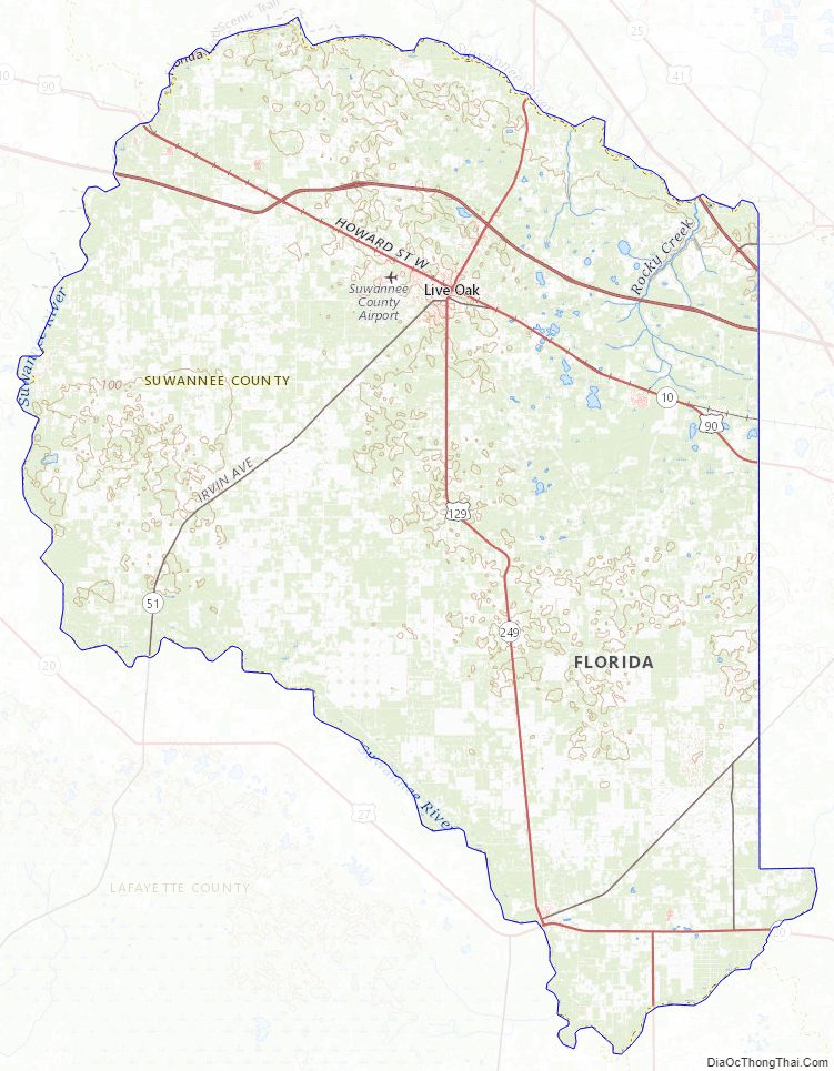
Suwannee County Topographic Map
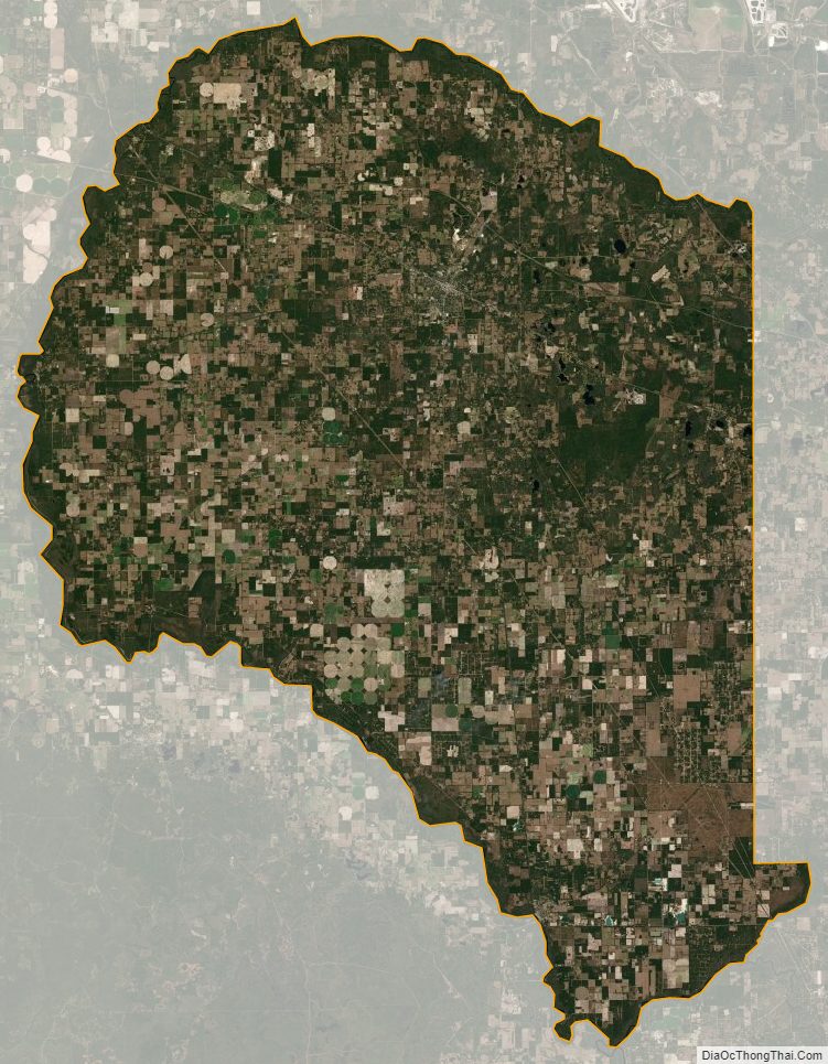
Suwannee County Satellite Map
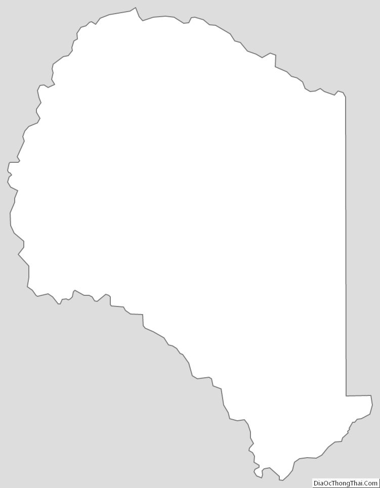
Suwannee County Outline Map