Map of Nances Creek CDP

Map of Nances Creek CDP

Nances Creek is a census-designated place and unincorporated community in Calhoun County, Alabama, United States. Its population was 407 as of the 2010 census. Nances Creek CDP overview: Name: Nances Creek CDP LSAD Code: 57 LSAD Description: CDP (suffix) State: Alabama County: Calhoun County Elevation: 761 ft (232 m) Total Area: 5.82 sq mi (15.06 km²) Land Area: 5.81 sq mi (15.04 km²) … Read more

Map of Nanafalia CDP

Map of Nanafalia CDP

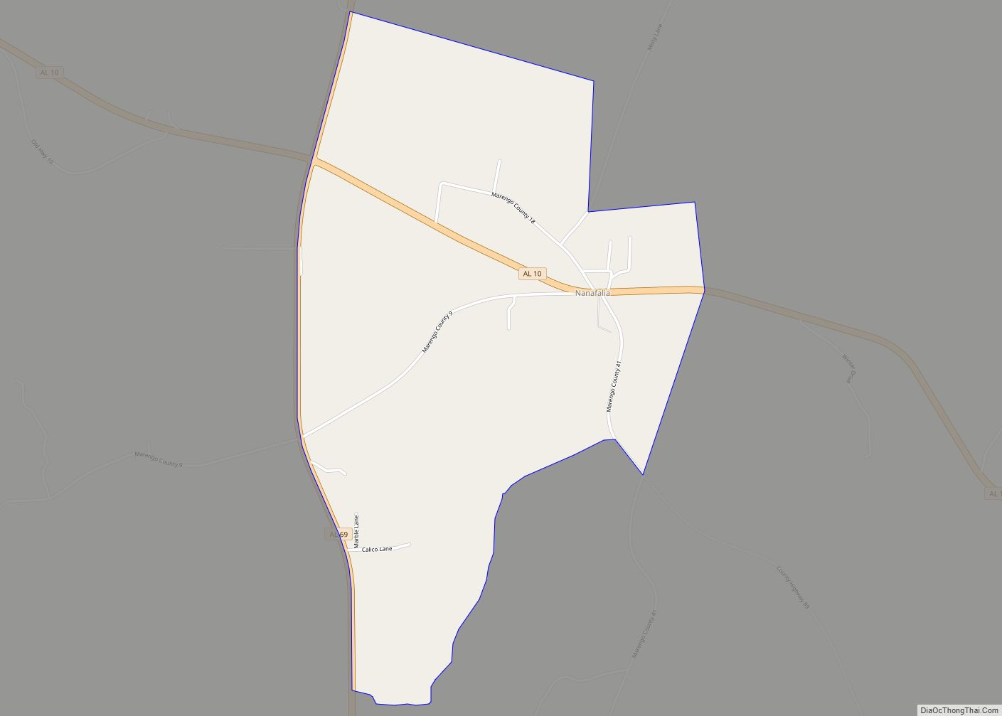
Nanafalia is an unincorporated community and census-designated place (CDP) in Marengo County, Alabama, United States. As of the 2020 census, its population was 75, down from 94 at the 2010 census. The community is located on a ridge above the Tombigbee River, and the name is derived from the Choctaw words for long hill. Nanafalia … Read more

Map of Myrtlewood town

Map of Myrtlewood town

Myrtlewood is a town in Marengo County, Alabama, United States. At the 2020 census the population was 70, down from 130 in 2010. Myrtlewood town overview: Name: Myrtlewood town LSAD Code: 43 LSAD Description: town (suffix) State: Alabama County: Marengo County Elevation: 220 ft (70 m) Total Area: 2.60 sq mi (6.7 km²) Land Area: 2.60 sq mi (6.7 km²) Water Area: 0.00 sq mi … Read more

Map of Nauvoo town

Map of Nauvoo town, Alabama

Nauvoo is a town on the northwestern edge of Walker County, Alabama, United States, that extends slightly north into southwestern Winston. As of the 2010 census, the population of the town is 221, down from 284 in 2000. Camp McDowell, the official camp and conference center of the Episcopal Diocese of Alabama, is located here. … Read more

Map of Natural Bridge town

Map of Natural Bridge town, Alabama

Natural Bridge is a town at the southwest edge of Winston County, Alabama, United States, located near the intersection of U.S. Route 278, Alabama Highway 13, and Alabama State Route 5. It initially incorporated on September 3, 1914. In the 1930s, due to a dwindling population, its charter became dormant. On July 24, 1997 it … Read more

Map of Napier Field town

Map of Napier Field town

Napier Field is a town in Dale County, Alabama. At the 2020 census, the population was 409. It is part of the Ozark micropolitan statistical area. The town was originally constructed as a military air base during the Second World War. It is currently adjacent to Dothan Regional Airport. While the airport itself lies within … Read more

Map of New Brockton town

Map of New Brockton town

New Brockton is a town in Coffee County, Alabama, United States. At the 2020 census, the population was 1,428. The community was named for Huey E. Brock, a settler who came to the region in 1871. New Brockton is part of the Enterprise Micropolitan Statistical Area. New Brockton town overview: Name: New Brockton town LSAD … Read more

Map of Needham town

Map of Needham town, Alabama

Needham is a town in Choctaw County, Alabama, United States. It incorporated in 1981. At the 2020 census, the population was 73. Needham town overview: Name: Needham town LSAD Code: 43 LSAD Description: town (suffix) State: Alabama County: Choctaw County Elevation: 167 ft (51 m) Total Area: 0.57 sq mi (1.48 km²) Land Area: 0.57 sq mi (1.48 km²) Water Area: 0.00 sq mi (0.00 km²) … Read more

Map of Nectar town

Map of Nectar town

Nectar is a town in Blount County, Alabama, United States. At the 2020 census, the population was 379. Nectar town overview: Name: Nectar town LSAD Code: 43 LSAD Description: town (suffix) State: Alabama County: Blount County Elevation: 512 ft (156 m) Total Area: 1.82 sq mi (4.73 km²) Land Area: 1.81 sq mi (4.69 km²) Water Area: 0.01 sq mi (0.04 km²) Total Population: 379 Population … Read more

Map of New Site town

Map of New Site town

New Site is a town in Tallapoosa County, Alabama, United States. It incorporated in 1965. At the 2010 census the population was 773, down from 848 in 2000. It is part of the Alexander City Micropolitan Statistical Area. New Site is the closest municipality to the Horseshoe Bend National Military Park, which commemorates the Battle … Read more

Map of New Market CDP

Map of New Market CDP, Alabama

New Market is an unincorporated community and census-designated place (CDP) in Madison County, Alabama, United States, and is included in the Huntsville-Decatur Combined Statistical Area. As of the 2020 census, the population of the CDP was 1,543. Although it was the first area settled in Madison County, the town has never been incorporated. New Market … Read more

Map of New Hope city

Map of New Hope city, Alabama

New Hope is a city in Madison County, Alabama, United States, and is included in the Huntsville-Decatur Combined Statistical Area. As of the 2020 census, the population was 2,889. New Hope city overview: Name: New Hope city LSAD Code: 25 LSAD Description: city (suffix) State: Alabama County: Madison County Elevation: 607 ft (185 m) Total Area: 8.71 sq mi … Read more