New Site is a town in Tallapoosa County, Alabama, United States. It incorporated in 1965. At the 2010 census the population was 773, down from 848 in 2000. It is part of the Alexander City Micropolitan Statistical Area.
New Site is the closest municipality to the Horseshoe Bend National Military Park, which commemorates the Battle of Horseshoe Bend that hastened the end of the Creek War.
| Name: | New Site town |
|---|---|
| LSAD Code: | 43 |
| LSAD Description: | town (suffix) |
| State: | Alabama |
| County: | Tallapoosa County |
| Elevation: | 886 ft (270 m) |
| Total Area: | 9.88 sq mi (25.60 km²) |
| Land Area: | 9.87 sq mi (25.55 km²) |
| Water Area: | 0.02 sq mi (0.04 km²) |
| Total Population: | 773 |
| Population Density: | 78.35/sq mi (30.25/km²) |
| FIPS code: | 0154432 |
| GNISfeature ID: | 0155177 |
| Website: | townofnewsite.com |
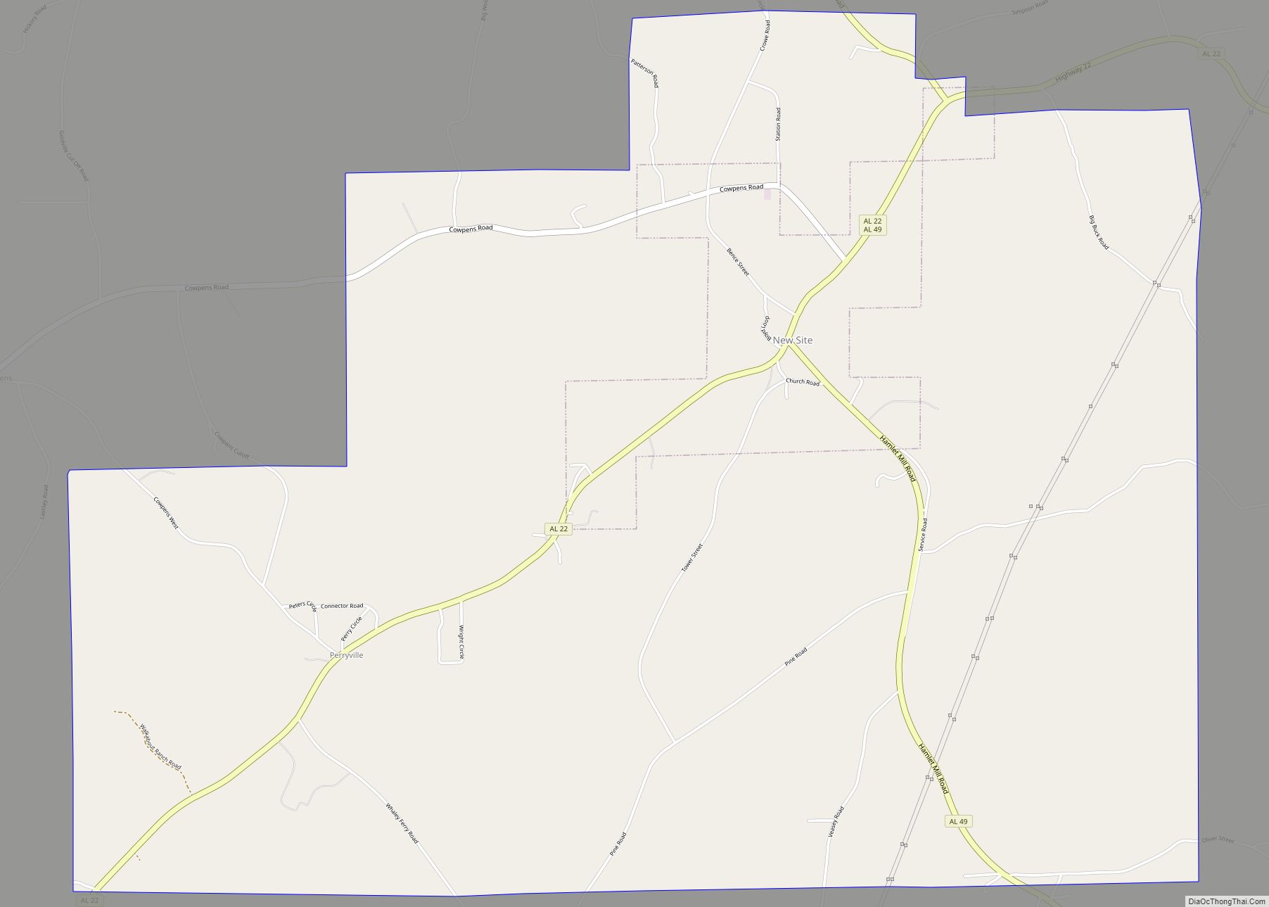
Online Interactive Map
Click on ![]() to view map in "full screen" mode.
to view map in "full screen" mode.
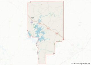
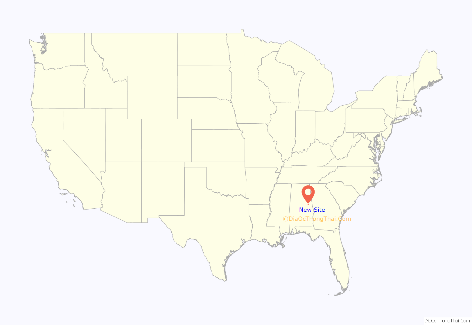
New Site location map. Where is New Site town?

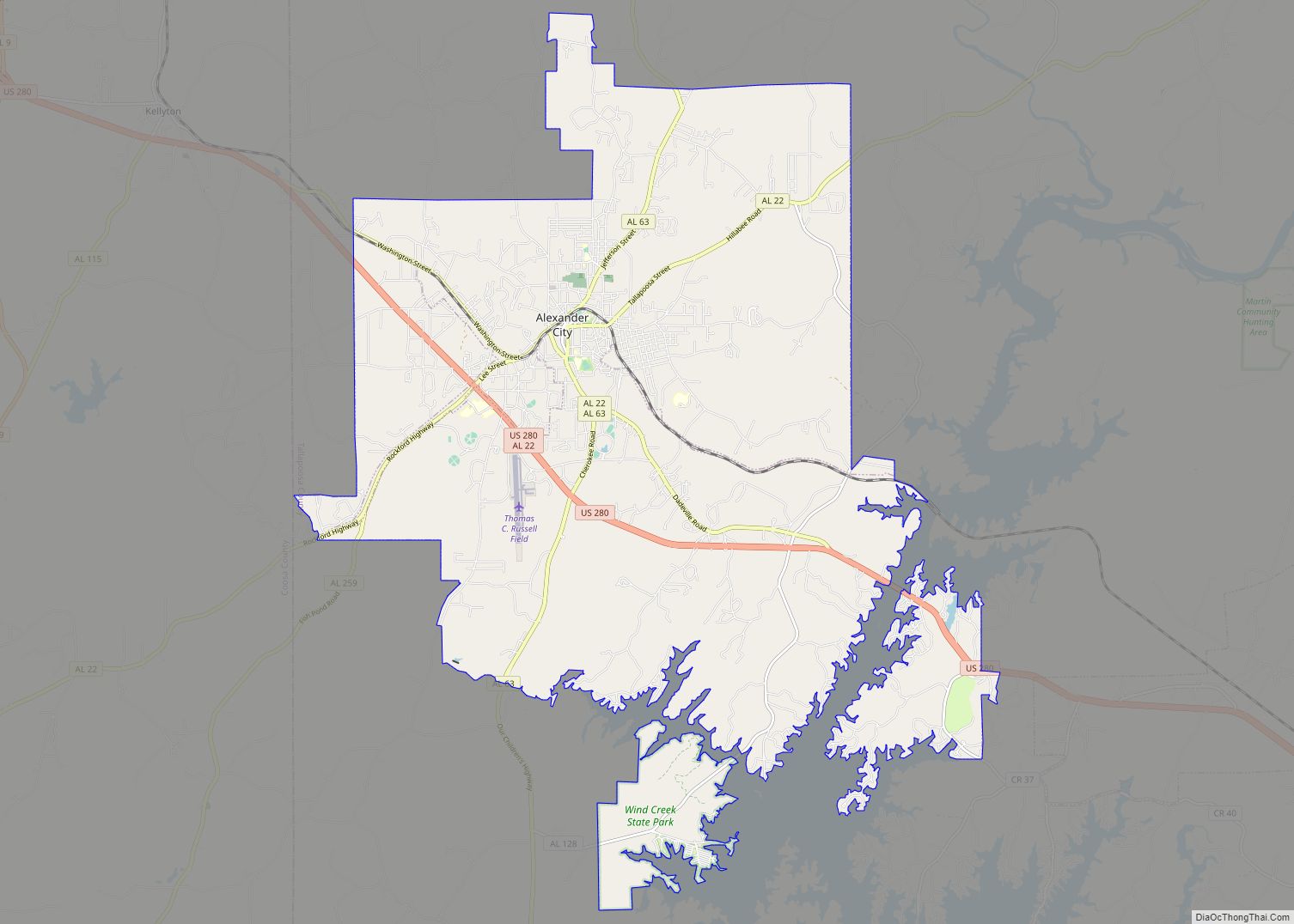
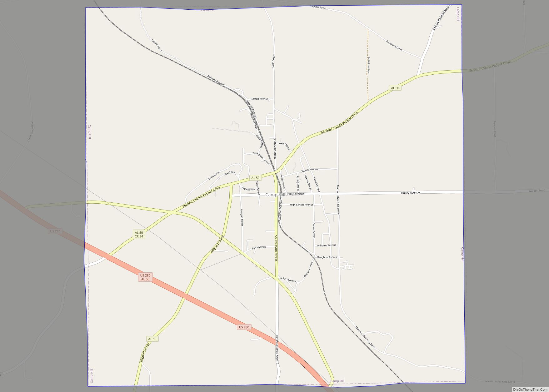
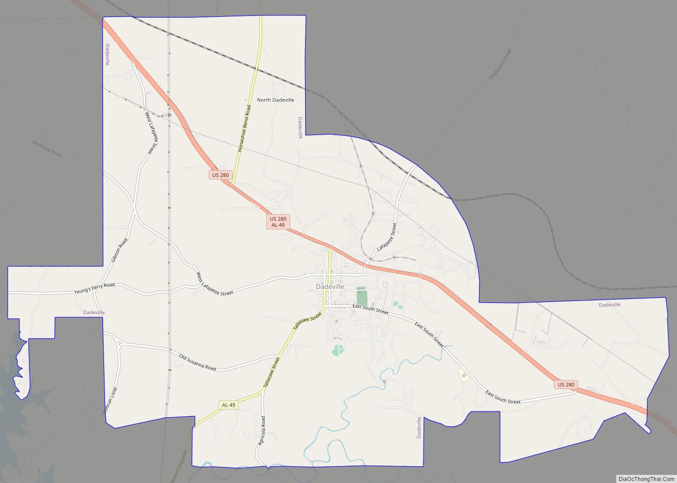
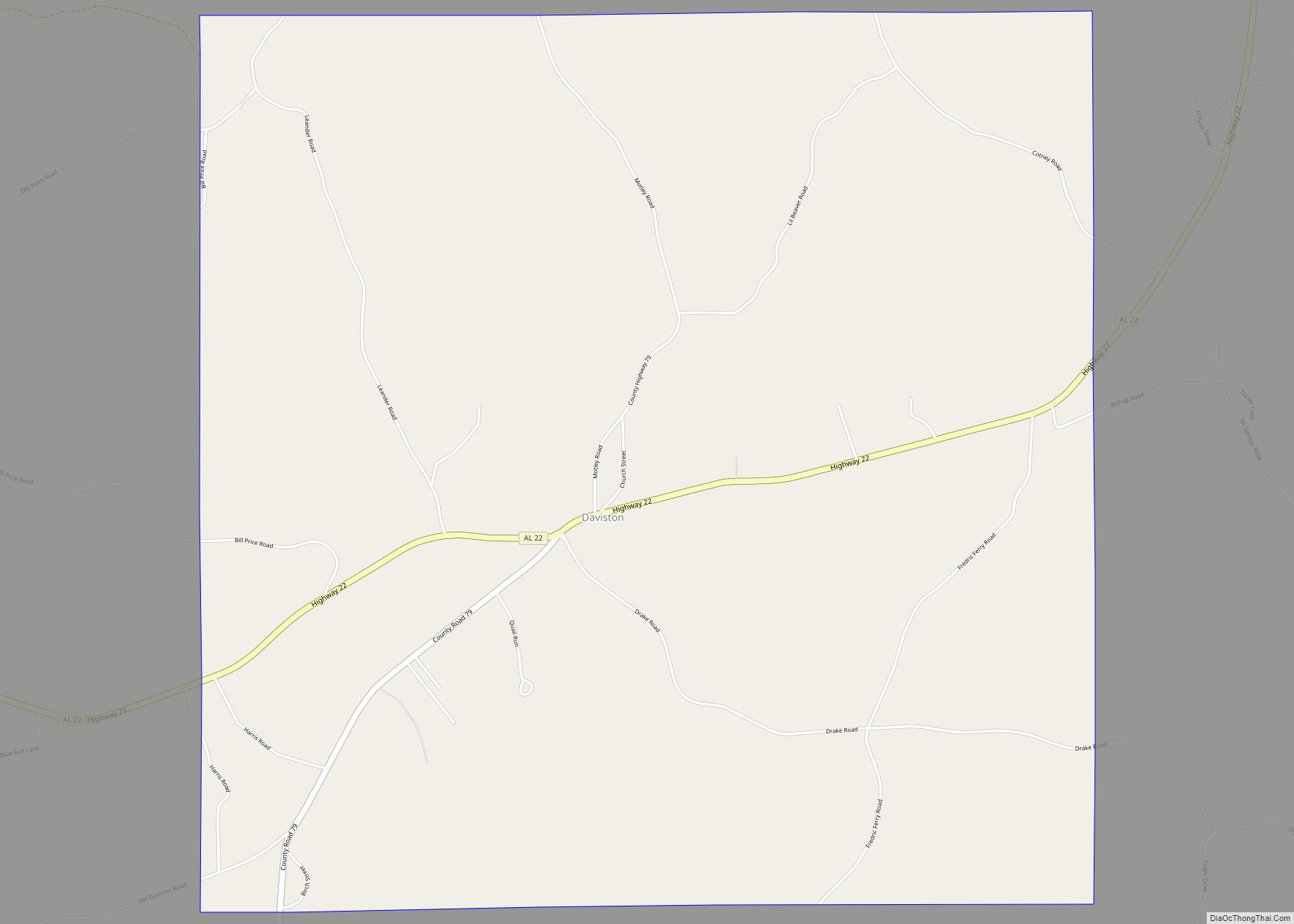
New Site Road Map

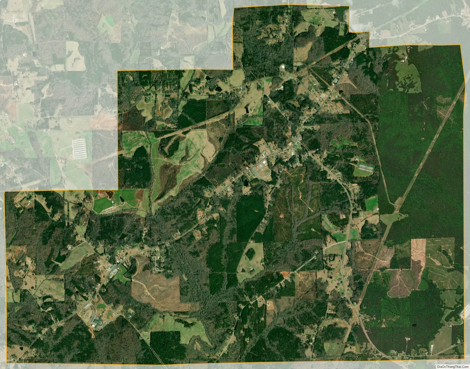
New Site city Satellite Map
Geography
New Site is located at 33°1′49″N 85°47′12″W / 33.03028°N 85.78667°W / 33.03028; -85.78667 (33.030281, -85.786721). According to the U.S. Census Bureau, the town has a total area of 9.8 square miles (25 km), all land.
See also
Map of Alabama State and its subdivision:- Autauga
- Baldwin
- Barbour
- Bibb
- Blount
- Bullock
- Butler
- Calhoun
- Chambers
- Cherokee
- Chilton
- Choctaw
- Clarke
- Clay
- Cleburne
- Coffee
- Colbert
- Conecuh
- Coosa
- Covington
- Crenshaw
- Cullman
- Dale
- Dallas
- De Kalb
- Elmore
- Escambia
- Etowah
- Fayette
- Franklin
- Geneva
- Greene
- Hale
- Henry
- Houston
- Jackson
- Jefferson
- Lamar
- Lauderdale
- Lawrence
- Lee
- Limestone
- Lowndes
- Macon
- Madison
- Marengo
- Marion
- Marshall
- Mobile
- Monroe
- Montgomery
- Morgan
- Perry
- Pickens
- Pike
- Randolph
- Russell
- Saint Clair
- Shelby
- Sumter
- Talladega
- Tallapoosa
- Tuscaloosa
- Walker
- Washington
- Wilcox
- Winston
- Alabama
- Alaska
- Arizona
- Arkansas
- California
- Colorado
- Connecticut
- Delaware
- District of Columbia
- Florida
- Georgia
- Hawaii
- Idaho
- Illinois
- Indiana
- Iowa
- Kansas
- Kentucky
- Louisiana
- Maine
- Maryland
- Massachusetts
- Michigan
- Minnesota
- Mississippi
- Missouri
- Montana
- Nebraska
- Nevada
- New Hampshire
- New Jersey
- New Mexico
- New York
- North Carolina
- North Dakota
- Ohio
- Oklahoma
- Oregon
- Pennsylvania
- Rhode Island
- South Carolina
- South Dakota
- Tennessee
- Texas
- Utah
- Vermont
- Virginia
- Washington
- West Virginia
- Wisconsin
- Wyoming