Map of Newton town

Map of Newton town, Alabama

Newton is a town in Dale County, Alabama, United States. At the 2010 census its population was 1,511. Once the county seat of Dale County, Newton lost this distinction to nearby Ozark in 1870, and is now a small farming community. It incorporated in 1887. The city currently forms a part of the Ozark micropolitan … Read more

Map of Newbern town

Map of Newbern town, Alabama

Newbern is a town in Hale County, Alabama, United States. It incorporated in 1854. The population as of the 2010 U.S. Census was 186, down from 231 in 2000. This was its lowest population since the census reported figures for the community beginning in 1880. It is part of the Tuscaloosa, Alabama Metropolitan Statistical Area. … Read more

Map of New Union CDP

Map of New Union CDP, Alabama

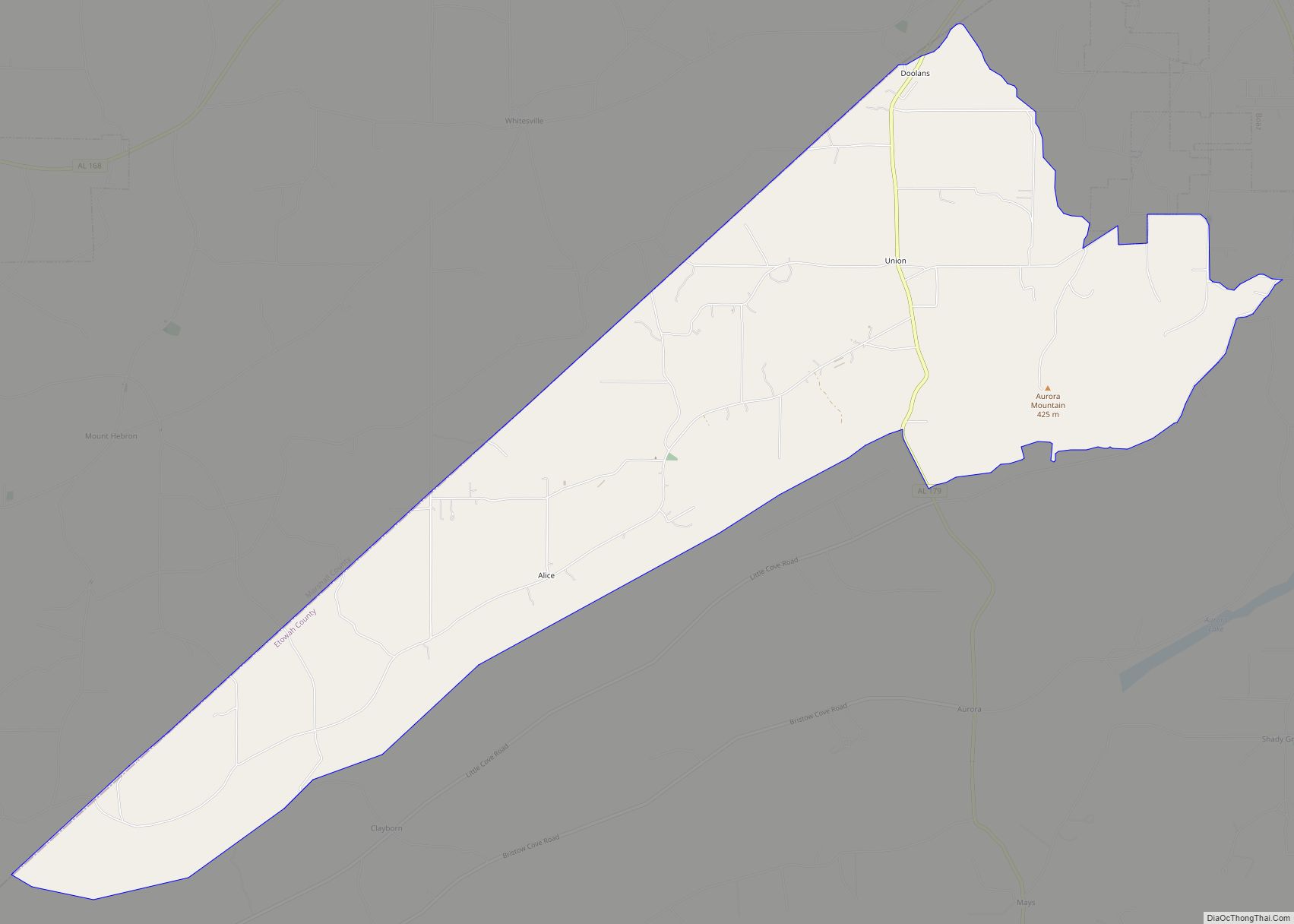
New Union is a census-designated place in Etowah County, Alabama, United States. Its population was 955 as of the 2010 census. New Union CDP overview: Name: New Union CDP LSAD Code: 57 LSAD Description: CDP (suffix) State: Alabama County: Etowah County Elevation: 1,165 ft (355 m) Total Area: 12.34 sq mi (31.96 km²) Land Area: 12.31 sq mi (31.89 km²) Water Area: 0.03 sq mi … Read more

Map of North Johns town

Map of North Johns town

North Johns is the second smallest incorporated town in Jefferson County, Alabama (after Cardiff), United States. It is located approximately eight miles southwest from the Birmingham suburb of Hueytown. North Johns was a thriving mining town at the beginning of the 20th century, when more than 2000 people lived in and around the community. It … Read more

Map of North Courtland town

Map of North Courtland town

North Courtland is a town in Lawrence County, Alabama, United States, and is included in the Decatur Metropolitan Area, as well as the Huntsville-Decatur Combined Statistical Area. It incorporated in 1981. At the 2010 census, the population of the town was 632, down from 799 in 2000. Along with Hillsboro, it is one of two … Read more

Map of Newville town

Map of Newville town, Alabama

Newville is a town in Henry County, Alabama, United States. It is part of the Dothan, Alabama Metropolitan Statistical Area. At the 2020 census, the population was 544. Newville town overview: Name: Newville town LSAD Code: 43 LSAD Description: town (suffix) State: Alabama County: Henry County Elevation: 397 ft (121 m) Total Area: 4.02 sq mi (10.41 km²) Land Area: … Read more

Map of Oak Grove town

Map of Oak Grove town, Alabama

Oak Grove is a town in Talladega County, Alabama, United States. It incorporated in 1966. At the 2020 census, the population was 564. Oak Grove town overview: Name: Oak Grove town LSAD Code: 43 LSAD Description: town (suffix) State: Alabama County: Talladega County Elevation: 558 ft (170 m) Total Area: 1.85 sq mi (4.78 km²) Land Area: 1.84 sq mi (4.78 km²) Water … Read more

Map of Notasulga town

Map of Notasulga town

Notasulga is a town in Lee and Macon counties in the U.S. state of Alabama. As of the 2020 census, the population of the town was 914. The portion in Lee County is part of the Auburn Metropolitan Area. According to the 1910 U.S. Census, it incorporated in 1893. Author Zora Neale Hurston was born … Read more

Map of Northport city

Map of Northport city, Alabama

Northport is a city in Tuscaloosa County in the west central part of the State of Alabama. Located on the Black Warrior River across from downtown Tuscaloosa, it is currently the 21st largest city in Alabama with an estimated population of 26,115 in 2019. It incorporated in 1871. It is part of the Tuscaloosa Metropolitan … Read more

Map of Odenville town

Map of Odenville town

Odenville is a city in St. Clair County, Alabama, United States. It incorporated in 1914. At the 2010 census the population was 3,585, up from 1,131 in 2000. It annexed the former town of Branchville in 2007. Odenville annexed a portion of Springville in 2015 due to Springville not running water to some of its … Read more

Map of Oakman town

Map of Oakman town

Oakman is a town in Walker County, Alabama, United States. At the 2010 census the population was 789, down from 944 in 2000. Initially named Day (or Day’s) Gap, it was renamed Oakman and incorporated in 1895. Oakman town overview: Name: Oakman town LSAD Code: 43 LSAD Description: town (suffix) State: Alabama County: Walker County … Read more

Map of Oak Hill town

Map of Oak Hill town, Alabama

Oak Hill is a town in Wilcox County, Alabama, United States. According to the 1940 U.S. Census, it incorporated in 1938. Per the 2020 census, the population was 14. It is the smallest incorporated town in Alabama as of 2020, succeeding McMullen. The smallest unincorporated census-designated place in the state is also located in Wilcox … Read more