Newton is a town in Dale County, Alabama, United States. At the 2010 census its population was 1,511. Once the county seat of Dale County, Newton lost this distinction to nearby Ozark in 1870, and is now a small farming community. It incorporated in 1887. The city currently forms a part of the Ozark micropolitan statistical area.
| Name: | Newton town |
|---|---|
| LSAD Code: | 43 |
| LSAD Description: | town (suffix) |
| State: | Alabama |
| County: | Dale County |
| Elevation: | 318 ft (97 m) |
| Total Area: | 14.28 sq mi (36.98 km²) |
| Land Area: | 14.25 sq mi (36.90 km²) |
| Water Area: | 0.03 sq mi (0.07 km²) |
| Total Population: | 1,607 |
| Population Density: | 112.78/sq mi (43.55/km²) |
| ZIP code: | 36352 |
| Area code: | 334 |
| FIPS code: | 0154480 |
| GNISfeature ID: | 0123931 |
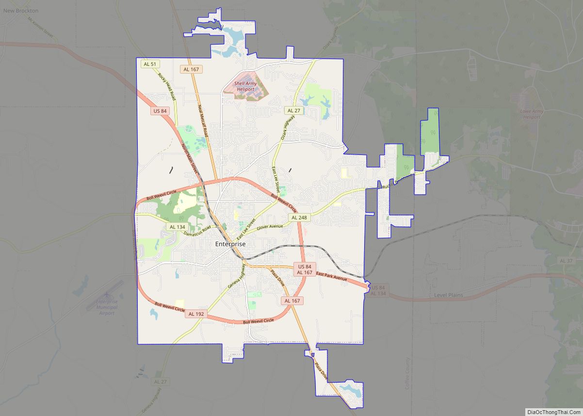
Online Interactive Map
Click on ![]() to view map in "full screen" mode.
to view map in "full screen" mode.
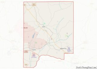
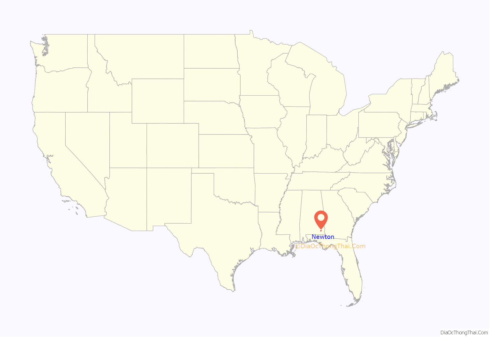
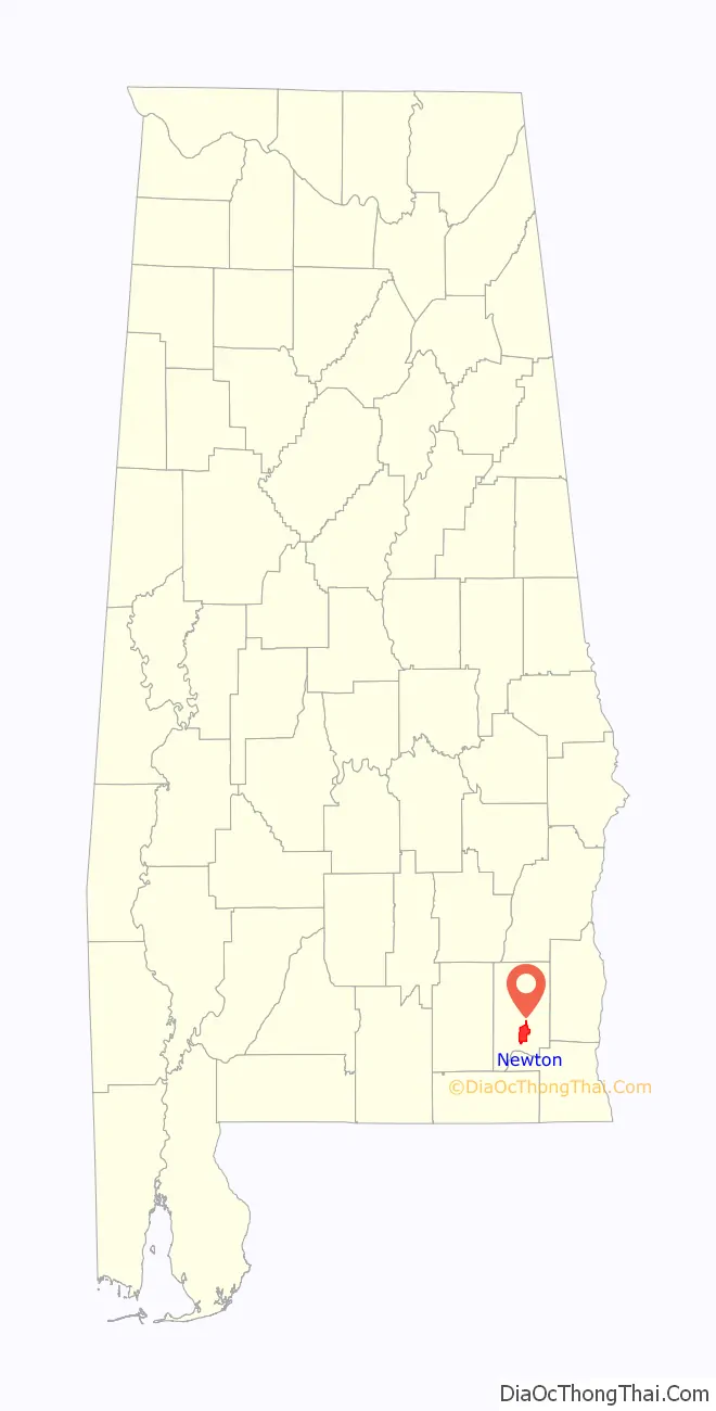
Newton location map. Where is Newton town?
History
Newton was founded in 1843 after the formation of Coffee County from Dale County’s western half, which rendered the original county seat of Daleville off-center. The town was a scene for Confederate recruiting during the Civil War, and was the site of a battle in March 1865 between local Home Guard troops and elements of the 1st Florida Cavalry (US) operating out of Florida. The Federals were led by Joseph Sanders, a Dale County resident who had previously been a captain in the 31st Georgia Infantry, but had later switched sides and joined the Federals. Seeking to burn the county courthouse, the attackers were repulsed when local troops ambushed their column as they entered the town. This event is commemorated by a monument located in downtown Newton, and by annual re-enactments.
On December 3, 1864, a local Methodist minister named Bill Sketoe was lynched just north of Newton by local Home Guardsmen led by Captain Joseph Brear. Since Sketoe was tall, a hole had to be dug beneath his feet to accommodate his large frame. Local legend insists that “the hole that won’t stay filled” never vanished—even after being filled in numerous times during the years that followed. Though covered in 1979 by a new bridge and tons of rip-rap, “Sketoe’s hole” remains a local attraction, and was documented by Alabama writer Kathryn Tucker Windham in 13 Alabama Ghosts and Jeffrey. A monument to Sketoe was dedicated near the hanging site in 2006, and the local museum displays items of Sketoe memorabilia.
Following a fire which destroyed the courthouse in March 1869, and the formation of Geneva County in 1870 from the southern third of Dale and Coffee Counties, voters relocated the county seat to Ozark, which was more centralized.
The Southern Star, one of the oldest newspapers in the Wiregrass area, was first published in Newton in 1867. It later relocated to Ozark, where it continues to be published today. Newton remained a port for river boats on the nearby Choctawhatchee, until the railroad arrived in 1890. The Baptist Collegiate Institute operated in the city from 1898 to 1929; its main building now houses the city’s public library.
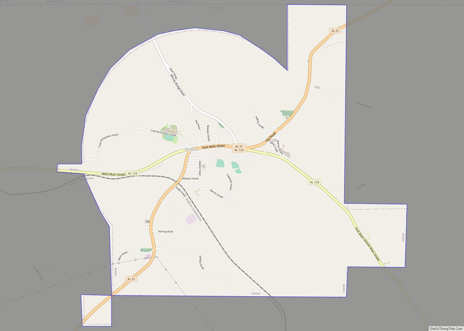
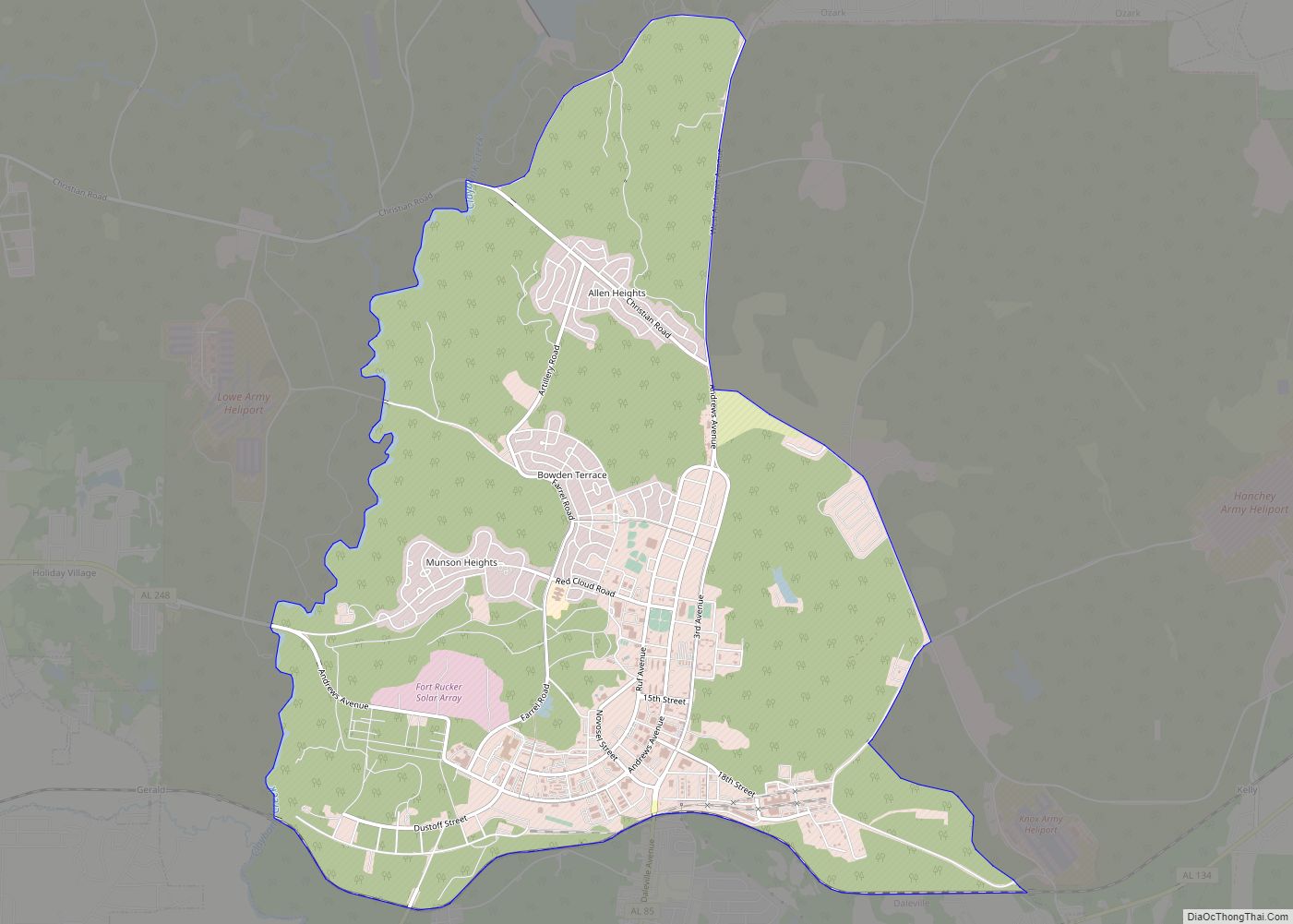
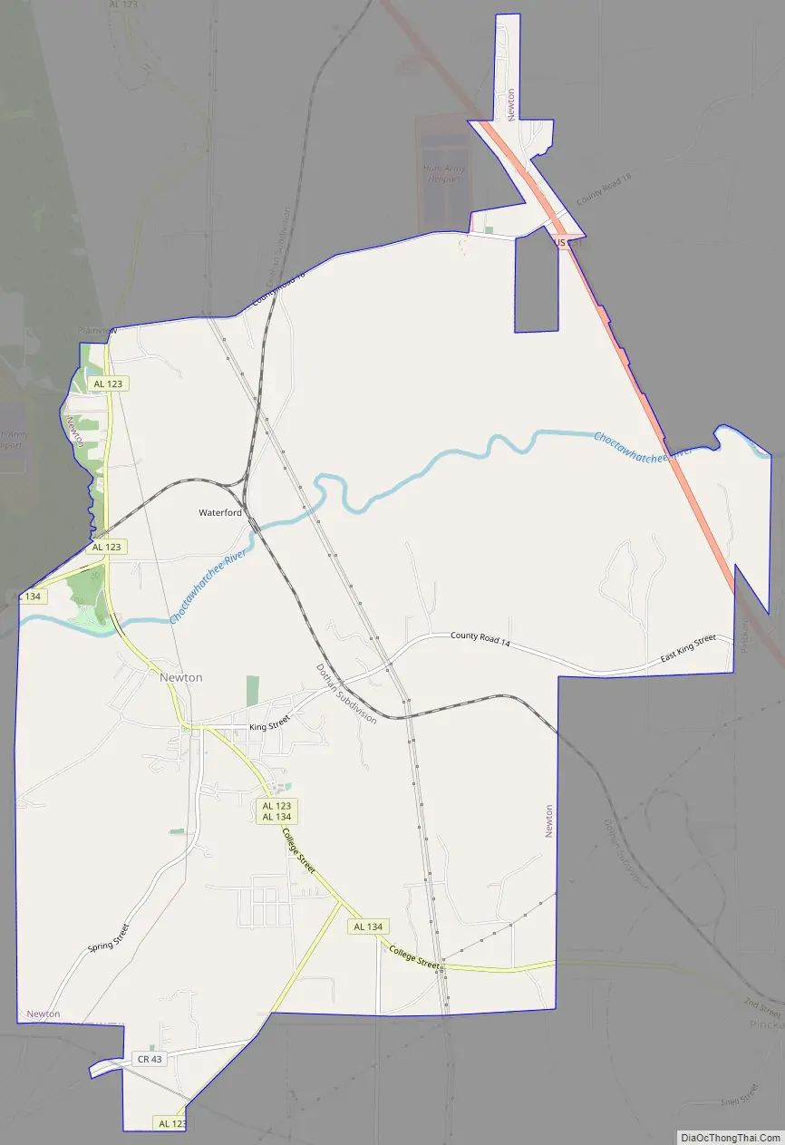
Newton Road Map
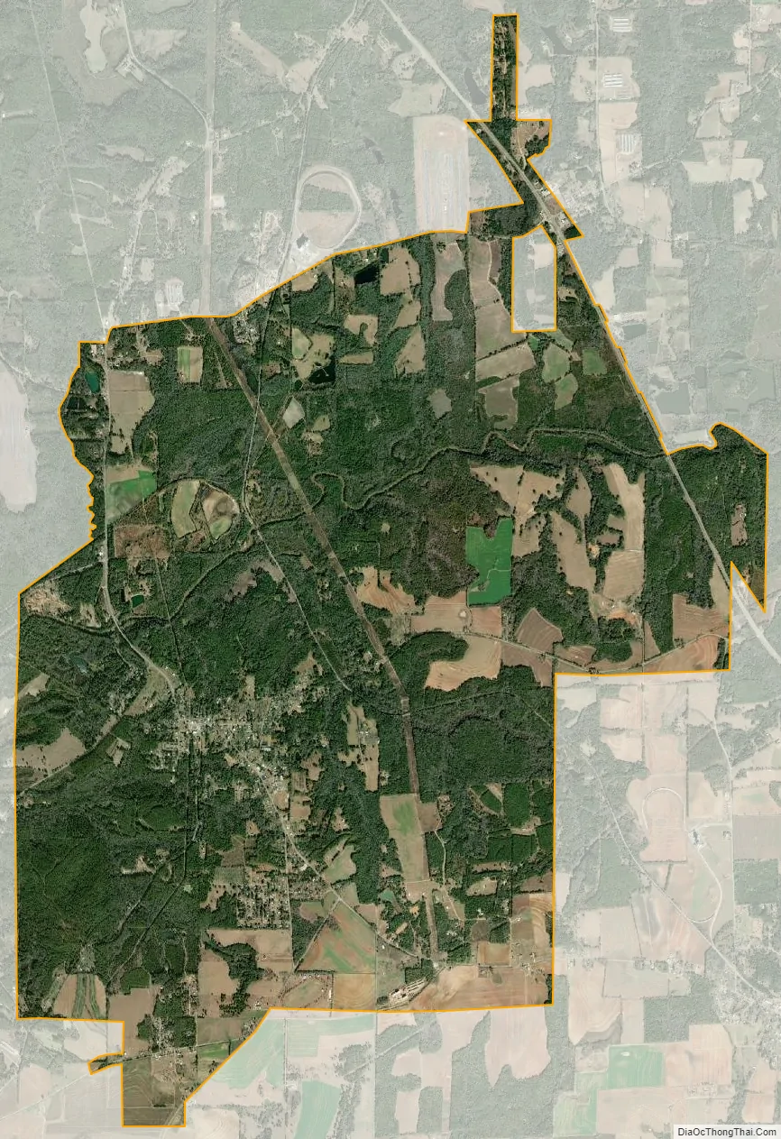
Newton city Satellite Map
Geography
Newton is located at 31°21′N 85°36′W (31.344,-85.593).
According to the U.S. Census Bureau, the town has a total area of 14.3 square miles (37 km), of which 14.3 square miles (37 km) is land and 0.04 square miles (0.10 km) (0.21%) is water.
The Choctawhatchee River flows just to the north and west of Newton. At one time this waterway was navigable by steamboat from its mouth in Choctawhatchee Bay, Florida all the way to Newton.
Alabama State Route 123 and Alabama State Route 134 both pass through Newton.
See also
Map of Alabama State and its subdivision:- Autauga
- Baldwin
- Barbour
- Bibb
- Blount
- Bullock
- Butler
- Calhoun
- Chambers
- Cherokee
- Chilton
- Choctaw
- Clarke
- Clay
- Cleburne
- Coffee
- Colbert
- Conecuh
- Coosa
- Covington
- Crenshaw
- Cullman
- Dale
- Dallas
- De Kalb
- Elmore
- Escambia
- Etowah
- Fayette
- Franklin
- Geneva
- Greene
- Hale
- Henry
- Houston
- Jackson
- Jefferson
- Lamar
- Lauderdale
- Lawrence
- Lee
- Limestone
- Lowndes
- Macon
- Madison
- Marengo
- Marion
- Marshall
- Mobile
- Monroe
- Montgomery
- Morgan
- Perry
- Pickens
- Pike
- Randolph
- Russell
- Saint Clair
- Shelby
- Sumter
- Talladega
- Tallapoosa
- Tuscaloosa
- Walker
- Washington
- Wilcox
- Winston
- Alabama
- Alaska
- Arizona
- Arkansas
- California
- Colorado
- Connecticut
- Delaware
- District of Columbia
- Florida
- Georgia
- Hawaii
- Idaho
- Illinois
- Indiana
- Iowa
- Kansas
- Kentucky
- Louisiana
- Maine
- Maryland
- Massachusetts
- Michigan
- Minnesota
- Mississippi
- Missouri
- Montana
- Nebraska
- Nevada
- New Hampshire
- New Jersey
- New Mexico
- New York
- North Carolina
- North Dakota
- Ohio
- Oklahoma
- Oregon
- Pennsylvania
- Rhode Island
- South Carolina
- South Dakota
- Tennessee
- Texas
- Utah
- Vermont
- Virginia
- Washington
- West Virginia
- Wisconsin
- Wyoming