Woodstock is a town in Bibb and Tuscaloosa counties in the U.S. state of Alabama. Formerly known as North Bibb, by referendum in August 2000, the town adopted the name of a long-established local unincorporated community and, as of October 1, 2000, is now known officially as “Woodstock”. As of the 2010 census, the population of the town was 1,428.
The Bibb County portion of Woodstock is part of the Birmingham metropolitan area, while the Tuscaloosa County portion is part of the Tuscaloosa metropolitan area.
| Name: | Woodstock town |
|---|---|
| LSAD Code: | 43 |
| LSAD Description: | town (suffix) |
| State: | Alabama |
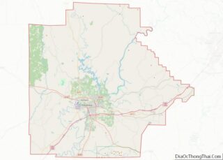
| County: | Bibb County, Tuscaloosa County |
| Elevation: | 571 ft (174 m) |
| Total Area: | 7.23 sq mi (18.72 km²) |
| Land Area: | 7.08 sq mi (18.34 km²) |
| Water Area: | 0.15 sq mi (0.38 km²) |
| Total Population: | 1,472 |
| Population Density: | 207.85/sq mi (80.25/km²) |
| ZIP code: | 35188 |
| Area code: | 205, 659 |
| FIPS code: | 0183640 |
| GNISfeature ID: | 2406913 |
| Website: | www.townofwoodstockal.com |
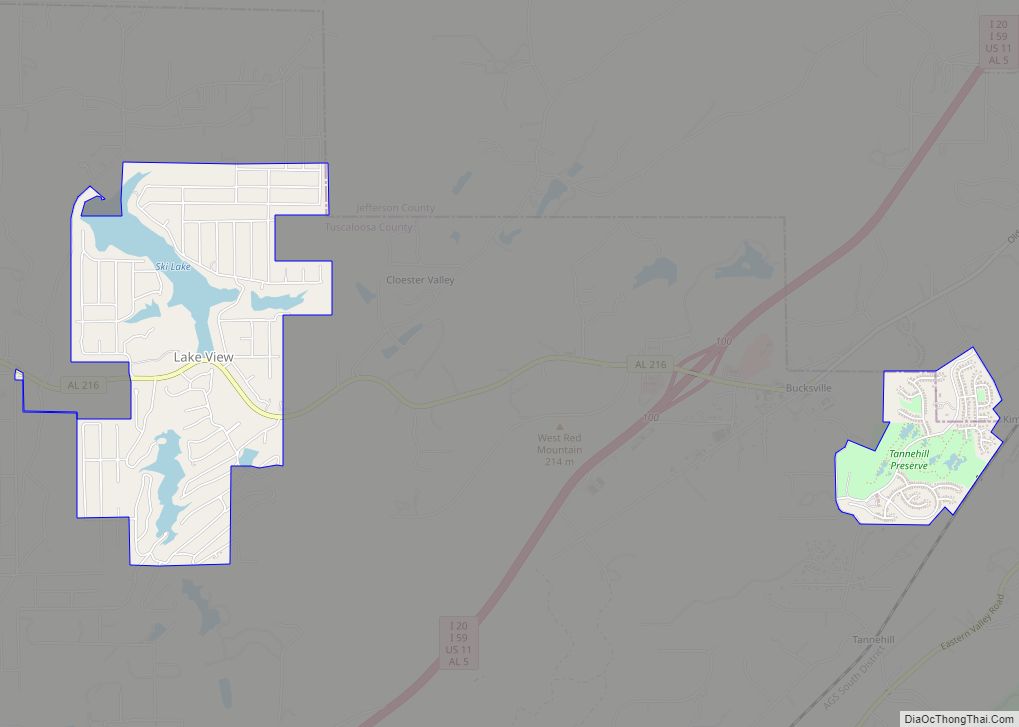
Online Interactive Map
Click on ![]() to view map in "full screen" mode.
to view map in "full screen" mode.
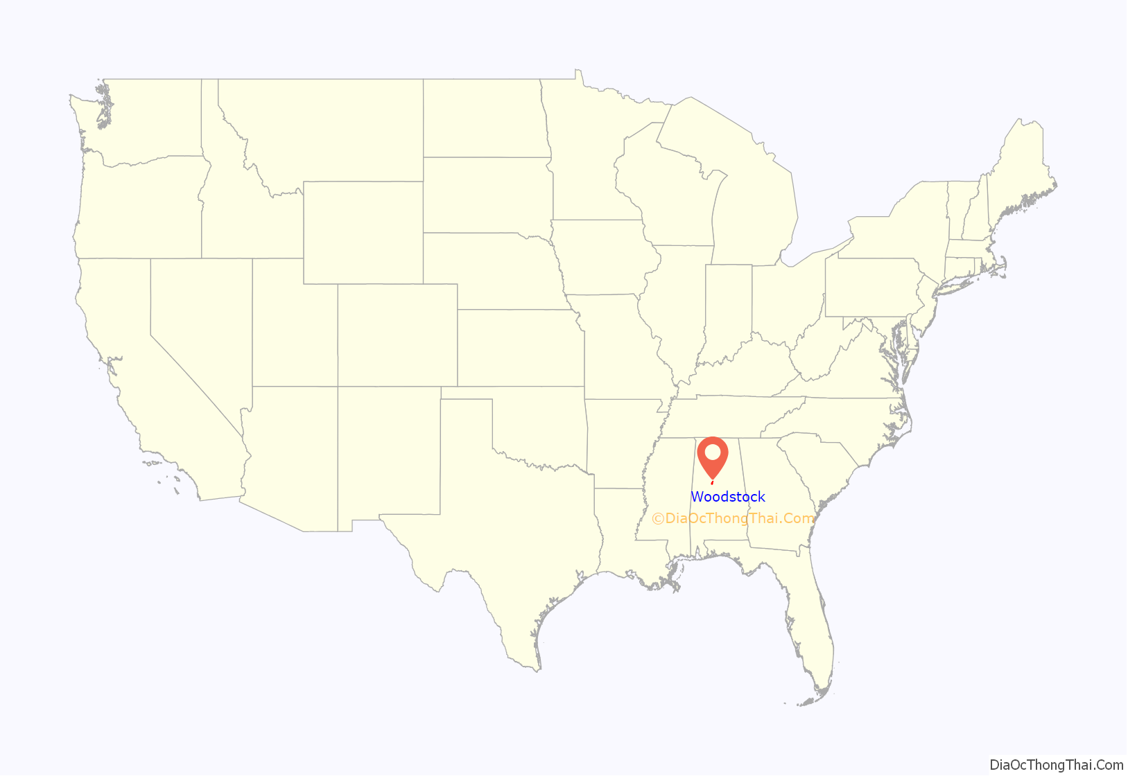
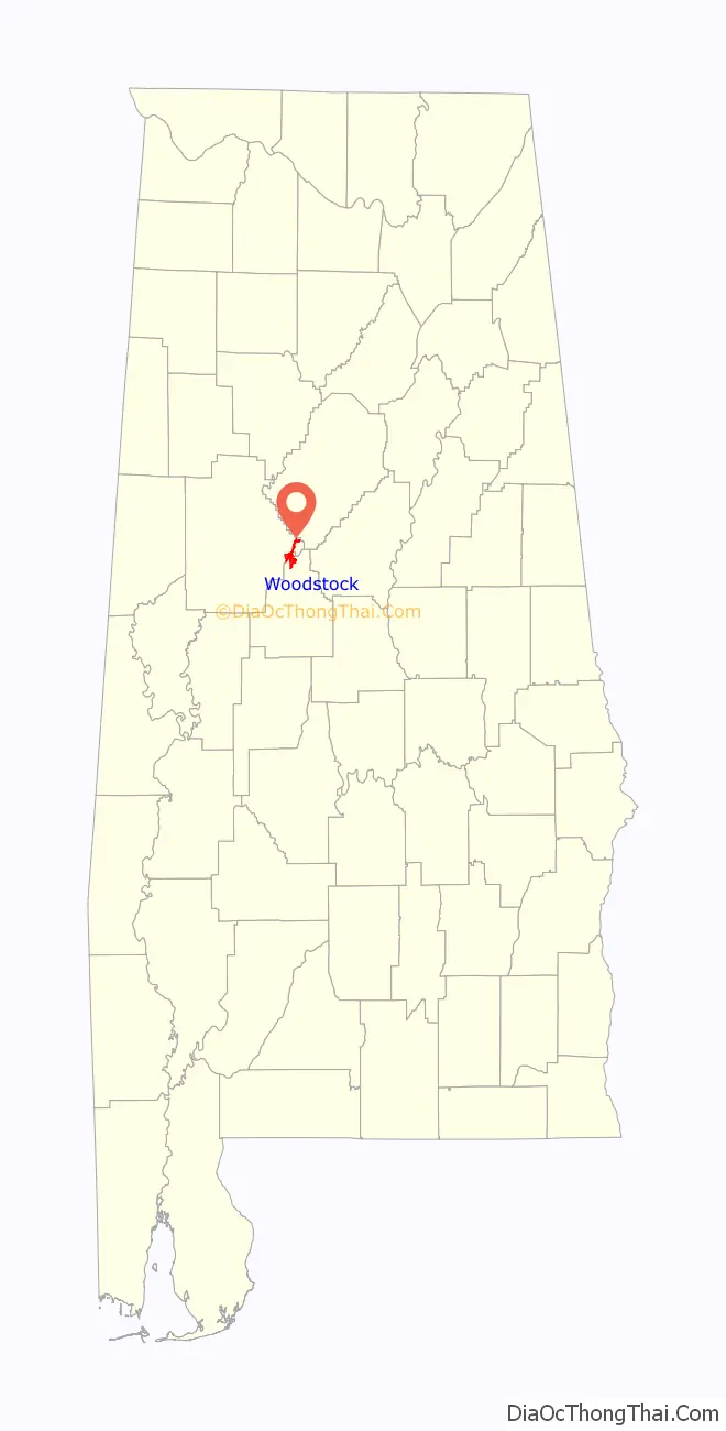
Woodstock location map. Where is Woodstock town?
History
Bibb County, founded as Cahawba County in 1818, played an important role in the early industrial history of Alabama. Ironworks and foundries produced goods from the brown iron ore found on Roupes Creek. Woodstock, known as North Bibb until 2000, is a small town on the northern boundary of Bibb County. This community was once the center of a thriving railroad business.
Woodstock was first settled in the 1820s, with a formal land grant to William Houston on February 27, 1826. The settlement was established along the old Tuscaloosa to Huntsville stagecoach line. Woodstock got its name when Dr. J.U. Ray named it after the home of his ancestors, Woodstock, England. Ray’s ancestors arrived in America from England at Jamestown, Virginia. In 1870, Ray built the first depot for the newly constructed Alabama-Chattanooga Railroad. After the Alabama Great Southern Railroad came the Louisville and Nashville Railroad. Each operated a depot in the area. In 1872, a line was installed down to West Blocton to ship the large abundance of coal found in the area. Woodstock became a break and storage yard for coal, red and brown iron ore and cotton. After the Civil War, rich iron ore deposits were mined. In 1872, Giles Edwards relocated to Woodstock from Tannehill and built a blast furnace to manufacture pig iron.
Edwards was later joined in the business by his son-in-law, James W. McQueen, who went on to become the president of Sloss-Sheffield Iron Company in Birmingham. In addition to the iron ore mining, coal mining, and farming, a jug factory was built to take advantage of the large deposits of fire clay that was in the area. The clay was used to make bricks, jugs, pots, and churns. As many as eight trains per day stopped in Woodstock, carrying away its riches, six of them carrying mail. On June 18, 1919, Jim McMillan was lynched by a White mob.
Woodstock was also the roots of a newspaper business in the 1800s. This publication moved to Six Mile and then to Birmingham where it became The Birmingham News. Woodstock was incorporated in 1996 as the Town of North Bibb, with Carl Jones as mayor. Woodstock changed its name back to Woodstock by Ordinance 2008-08-03, effective October 1, 2000, S.B. Albert Hutchens, Mayor.
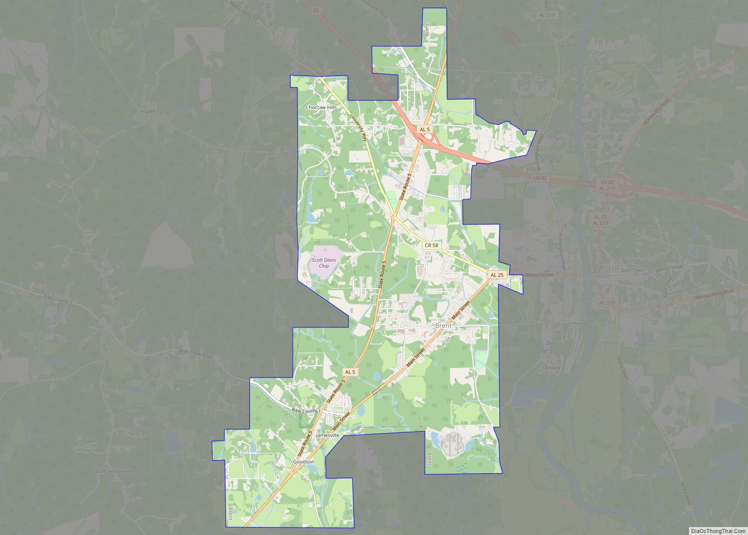
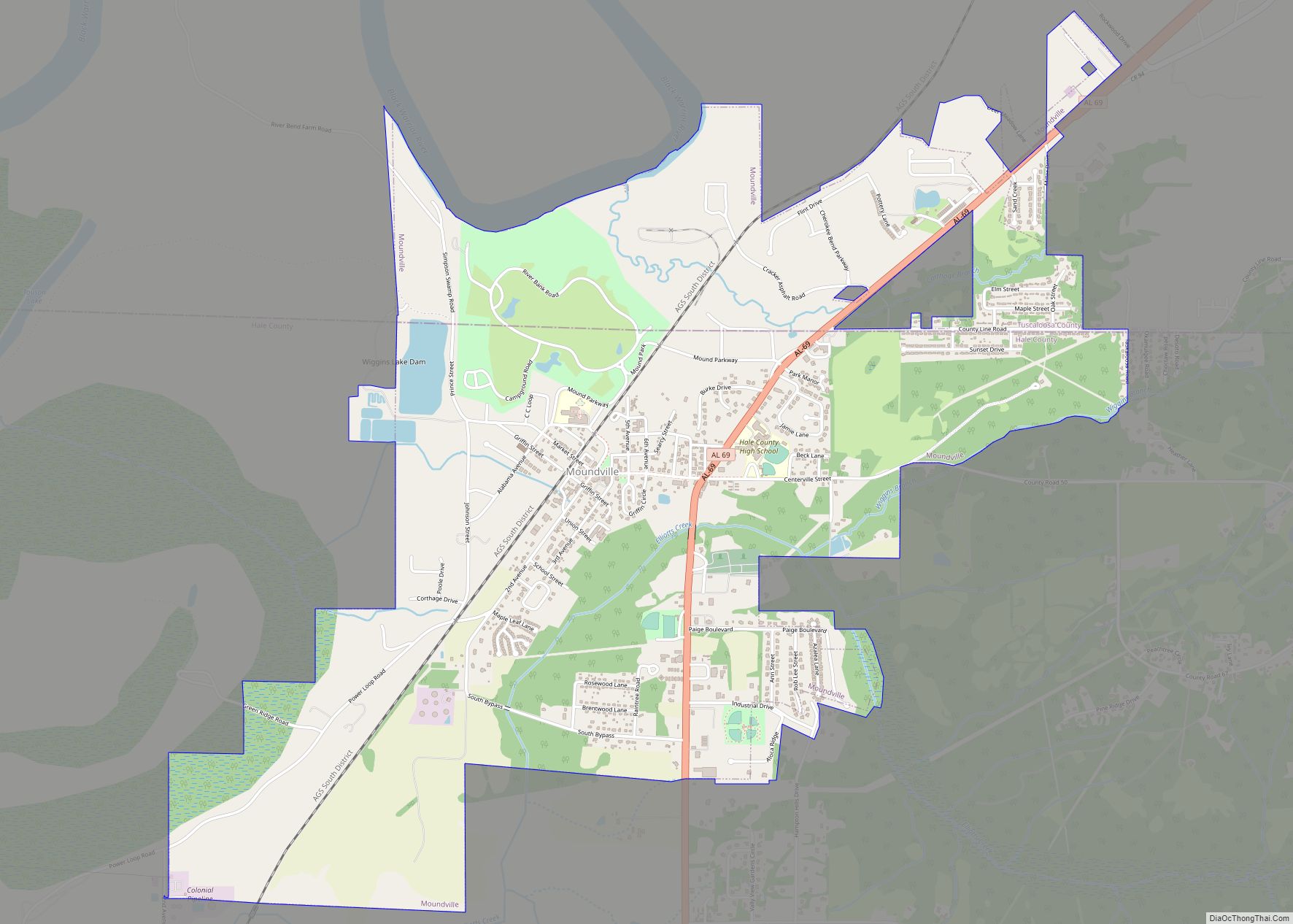
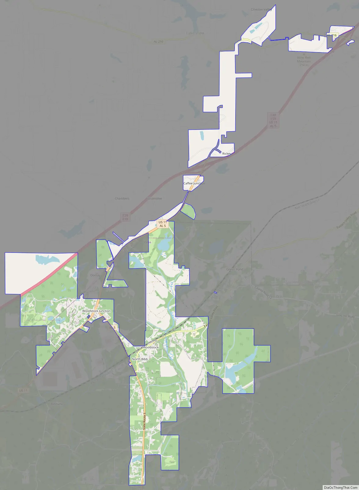
Woodstock Road Map
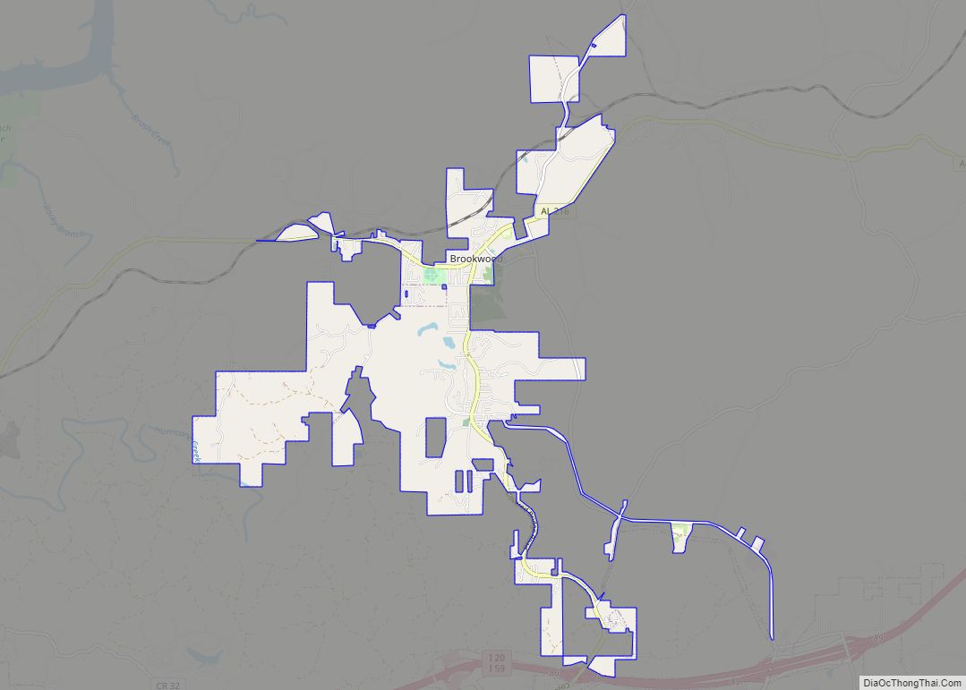
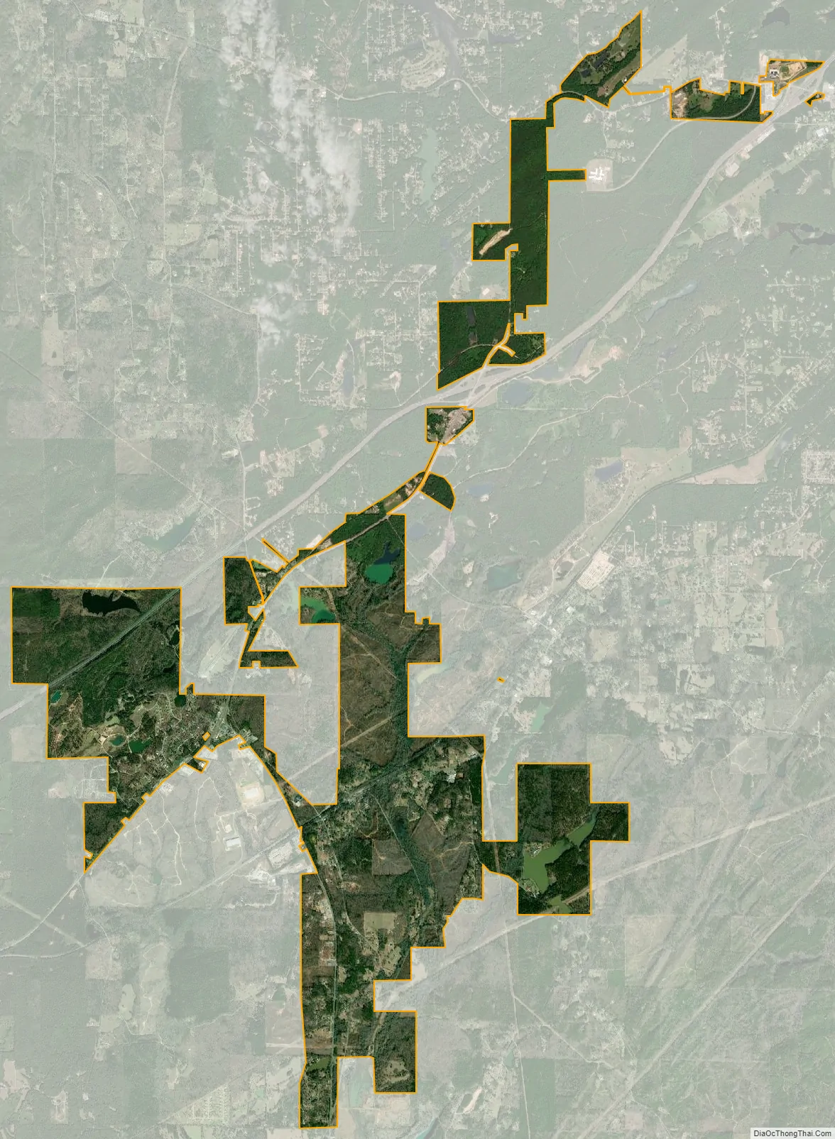
Woodstock city Satellite Map
Geography
Woodstock is located in northern Bibb County at 33°12′4″N 87°9′1″W / 33.20111°N 87.15028°W / 33.20111; -87.15028 (33.201248, -87.150242). A portion of the town extends to the northwest into Tuscaloosa County. U.S. Route 11 passes northwest of the town center, leading northeast 31 miles (50 km) to downtown Birmingham and west 26 miles (42 km) to Tuscaloosa. Interstate 59 passes northwest of Woodstock, with the closest access via Exit 97 north of town.
According to the U.S. Census Bureau, the town has a total area of 7.2 square miles (18.7 km), of which 7.1 square miles (18.3 km) is land and 0.15 square miles (0.4 km), or 2.11%, is water.
See also
Map of Alabama State and its subdivision:- Autauga
- Baldwin
- Barbour
- Bibb
- Blount
- Bullock
- Butler
- Calhoun
- Chambers
- Cherokee
- Chilton
- Choctaw
- Clarke
- Clay
- Cleburne
- Coffee
- Colbert
- Conecuh
- Coosa
- Covington
- Crenshaw
- Cullman
- Dale
- Dallas
- De Kalb
- Elmore
- Escambia
- Etowah
- Fayette
- Franklin
- Geneva
- Greene
- Hale
- Henry
- Houston
- Jackson
- Jefferson
- Lamar
- Lauderdale
- Lawrence
- Lee
- Limestone
- Lowndes
- Macon
- Madison
- Marengo
- Marion
- Marshall
- Mobile
- Monroe
- Montgomery
- Morgan
- Perry
- Pickens
- Pike
- Randolph
- Russell
- Saint Clair
- Shelby
- Sumter
- Talladega
- Tallapoosa
- Tuscaloosa
- Walker
- Washington
- Wilcox
- Winston
- Alabama
- Alaska
- Arizona
- Arkansas
- California
- Colorado
- Connecticut
- Delaware
- District of Columbia
- Florida
- Georgia
- Hawaii
- Idaho
- Illinois
- Indiana
- Iowa
- Kansas
- Kentucky
- Louisiana
- Maine
- Maryland
- Massachusetts
- Michigan
- Minnesota
- Mississippi
- Missouri
- Montana
- Nebraska
- Nevada
- New Hampshire
- New Jersey
- New Mexico
- New York
- North Carolina
- North Dakota
- Ohio
- Oklahoma
- Oregon
- Pennsylvania
- Rhode Island
- South Carolina
- South Dakota
- Tennessee
- Texas
- Utah
- Vermont
- Virginia
- Washington
- West Virginia
- Wisconsin
- Wyoming