Map of Halibut Cove CDP

Map of Halibut Cove CDP

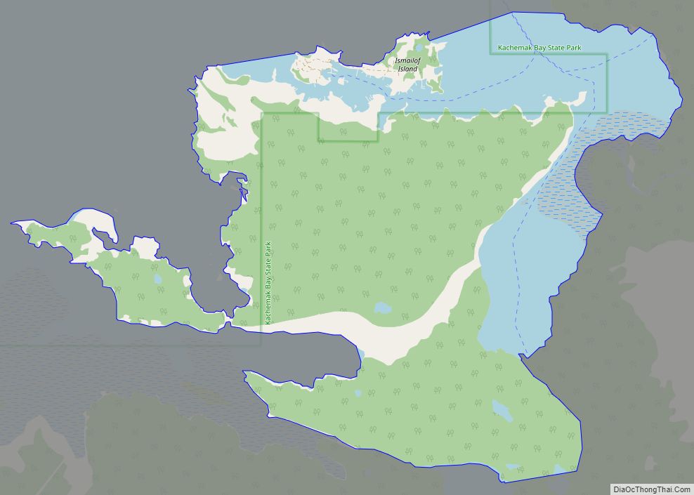
Halibut Cove is a census-designated place (CDP) in Kenai Peninsula Borough, Alaska, United States. The population was 76 at the 2010 census, up from 35 in 2000. Originally a fishing village, Halibut Cove is now home to several artists and businesses. One of the only floating U.S. post offices is there. A popular tourist destination, … Read more

Map of Haines CDP

Map of Haines CDP, Alaska

Haines (Tlingit: Deishú) is a census-designated place located in Haines Borough, Alaska, United States. It is in the northern part of the Alaska Panhandle, near Glacier Bay National Park and Preserve. As of the 2020 census, the population of the Haines CDP was 1,657, down from 1,713 in 2010, concentrating 79.6% of Haines Borough’s total … Read more

Map of Gustavus city

Map of Gustavus city

Gustavus (Lingít: Wanachích T’aak Héen) (gus-TAY-vəs) is a second-class city in Hoonah-Angoon Census Area in the U.S. state of Alaska. The 2020 census population was 655, which represents a 48% increase over the 2010 census of 442 and is one of the fastest growing communities in Alaska. Gustavus city overview: Name: Gustavus city LSAD Code: … Read more

Map of Healy Lake CDP

Map of Healy Lake CDP

Healy Lake (Mendees Cheeg in the Healy Lake-Joseph Village dialect of Tanacross Athabascan, meaning “body of water, with an outlet”) is a census-designated place (CDP) in Southeast Fairbanks Census Area, Alaska, United States. The population was 13 at the 2010 census, down from 37 in 2000. Healy Lake CDP overview: Name: Healy Lake CDP LSAD … Read more

Map of Harding-Birch Lakes CDP

Map of Harding-Birch Lakes CDP

Harding-Birch Lakes is a census-designated place (CDP) in Fairbanks North Star Borough, Alaska, United States. It is part of the Fairbanks, Alaska Metropolitan Statistical Area. At the 2010 census the population was 299, up from 216 in 2000. Harding-Birch Lakes CDP overview: Name: Harding-Birch Lakes CDP LSAD Code: 57 LSAD Description: CDP (suffix) State: Alaska … Read more

Map of Happy Valley CDP

Map of Happy Valley CDP, Alaska

Happy Valley (Dena’ina: Shtuhtałent) is a census-designated place (CDP) in Kenai Peninsula Borough, Alaska, United States. At the 2010 census the population was 593, up from 489 in 2000. Happy Valley CDP overview: Name: Happy Valley CDP LSAD Code: 57 LSAD Description: CDP (suffix) State: Alaska County: Kenai Peninsula Borough Elevation: 135 ft (41 m) Total Area: … Read more

Map of Healy CDP

Map of Healy CDP, Alaska

Healy is a census-designated place (CDP) and the borough seat of Denali Borough in the U.S. state of Alaska. The population was 966 at the time of the 2020 census, down from 1,021 in 2010. Healy CDP overview: Name: Healy CDP LSAD Code: 57 LSAD Description: CDP (suffix) State: Alaska County: Denali Borough Elevation: 1,342 ft … Read more

Map of Hollis CDP

Map of Hollis CDP, Alaska

Hollis is a census-designated place (CDP) in Prince of Wales-Hyder Census Area, Alaska, United States. At the 2020 census the population was 65, down from 139 in 2000. Hollis CDP overview: Name: Hollis CDP LSAD Code: 57 LSAD Description: CDP (suffix) State: Alaska County: Prince of Wales-Hyder Census Area Elevation: 190 ft (58 m) Total Area: 66.02 sq mi … Read more

Map of Hobart Bay CDP

Map of Hobart Bay CDP

Hobart Bay is a census-designated place that was located in Hoonah-Angoon Census Area, Alaska during the 2010 United States Census, but is now part of Petersburg Borough. As of the 2010 Census, the population of the CDP was one, down from three in 2000. The bay was named in 1889 by Lieutenant Commander Mansfield of … Read more

Map of Hoonah city

Map of Hoonah city

Hoonah (Tlingit: Xunaa or Gaaw Yat’aḵ Aan) is a largely Tlingit community on Chichagof Island, located in Alaska‘s panhandle in the southeast region of the state. It is 30 miles (48 km) west of Juneau, across the Alaskan Inside Passage. Hoonah is the only first-class city on Chichagof Island, the 109th-largest island in the world and … Read more

Map of Homer city

Map of Homer city, Alaska

Homer city overview: Name: Homer city LSAD Code: 25 LSAD Description: city (suffix) State: Alaska County: Kenai Peninsula Borough Incorporated: March 31, 1964 Elevation: 95 ft (29 m) Total Area: 25.25 sq mi (65.41 km²) Land Area: 13.79 sq mi (35.71 km²) Water Area: 11.47 sq mi (29.70 km²) Total Population: 5,522 Population Density: 400.52/sq mi (154.64/km²) ZIP code: 99603 Area code: 907 FIPS code: 0233140 GNISfeature … Read more

Map of Holy Cross city

Map of Holy Cross city, Alaska

Holy Cross (Deloy Chet in Deg Xinag, Central Yupik: Ingirraller, Russian: Холи-Кросс) is a city in Yukon-Koyukuk Census Area, Alaska, United States. At the 2010 census the population was 178, down from 227 in 2000. Holy Cross city overview: Name: Holy Cross city LSAD Code: 25 LSAD Description: city (suffix) State: Alaska County: Yukon-Koyukuk Census … Read more