Map of Kivalina city

Map of Kivalina city

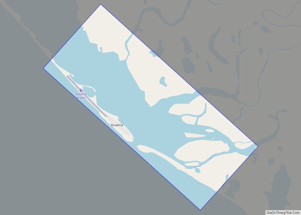
Kivalina (kiv-uh-LEE-nuh) (Inupiaq: Kivalliñiq) is a city and village in Northwest Arctic Borough, Alaska, United States. The population was 377 at the 2000 census and 374 as of the 2010 census. The island on which the village lies is threatened by rising sea levels and coastal erosion caused by climate change. As of 2013, it … Read more

Map of Kipnuk CDP

Map of Kipnuk CDP

Kipnuk (Central Yupik: Qipneq) is a census-designated place (CDP) in Bethel Census Area, Alaska, United States. At the 2010 census the population was 639, down from 644 in 2000. Kipnuk consists mostly of Yup’ik speaking Native Alaskans; the name means a “bend” referring to the bend in the (Qukaqliq) Kugkaktlik River where it is situated. … Read more

Map of King Salmon CDP

Map of King Salmon CDP

King Salmon is a census-designated place (CDP) in Bristol Bay Borough in the U.S. state of Alaska. It is 284 miles (457 km) southwest of Anchorage. As of the 2020 census the population was 307, down from 374 in 2010. It is home to Katmai National Park and Preserve. King Salmon is the borough seat of … Read more

Map of Knik-Fairview CDP

Map of Knik-Fairview CDP

Knik-Fairview is a census-designated place (CDP) in Matanuska-Susitna Borough, Alaska, United States. It is part of the Anchorage, Alaska Metropolitan Statistical Area. At the 2020 census the population was 19,297, up from 14,923 in 2010. It is the most populated CDP in Alaska. Knik-Fairview CDP overview: Name: Knik-Fairview CDP LSAD Code: 57 LSAD Description: CDP … Read more

Map of Klukwan CDP

Map of Klukwan CDP

Klukwan (Tlingit: Tlákw.aan) is a census-designated place (CDP) in Alaska, United States. It is technically in Hoonah-Angoon Census Area, though it is an enclave of Haines Borough. At the 2010 census the population was 95, down from 139 at the 2000 census. Klukwan CDP overview: Name: Klukwan CDP LSAD Code: 57 LSAD Description: CDP (suffix) … Read more

Map of Klawock city

Map of Klawock city

Klawock (Tlingit: Lawáak) is a city in Prince of Wales–Hyder Census Area, in the U.S. state of Alaska, on the west coast of Prince of Wales Island, on Klawock Inlet, across from Klawock Island. The population was 755 at the 2010 census, down from 854 in 2000. It is located 90 kilometres (56 mi) from Ketchikan, … Read more

Map of Kodiak Station CDP

Map of Kodiak Station CDP

Kodiak Station is a census-designated place (CDP) in Kodiak Island Borough, Alaska, United States. At the 2020 census the population was 1,673, up from 1,301 in 2010. Kodiak Station CDP overview: Name: Kodiak Station CDP LSAD Code: 57 LSAD Description: CDP (suffix) State: Alaska County: Kodiak Island Borough Total Area: 30.92 sq mi (80.09 km²) Land Area: 23.21 sq mi … Read more

Map of Kobuk city

Map of Kobuk city

Kobuk (Inupiaq: Laugviik) is a city in Northwest Arctic Borough, Alaska, United States. At the 2010 census the population was 151, up from 109 in 2000. Kobuk city overview: Name: Kobuk city LSAD Code: 25 LSAD Description: city (suffix) State: Alaska County: Northwest Arctic Borough Incorporated: September 25, 1973 Elevation: 148 ft (45 m) Total Area: 16.02 sq mi … Read more

Map of Knik River CDP

Map of Knik River CDP

Knik River /ˈknɪk/ is a census-designated place (CDP) in Matanuska-Susitna Borough in the U.S. state of Alaska. Located 15 miles southeast from Palmer along the Knik River, it is part of the Anchorage, Alaska Metropolitan Statistical Area. The population was 792 at the 2020 census, up from 744 in 2010. Knik River CDP overview: Name: … Read more

Map of Kokhanok CDP

Map of Kokhanok CDP

Kokhanok (Central Yupik: Qarr’unaq) is a census-designated place (CDP) in Lake and Peninsula Borough, Alaska, United States. At the 2020 census the population was 152, down from 170 in 2000. Kokhanok CDP overview: Name: Kokhanok CDP LSAD Code: 57 LSAD Description: CDP (suffix) State: Alaska County: Lake and Peninsula Borough Elevation: 100 ft (30 m) Total Area: … Read more

Map of Kodiak city

Map of Kodiak city

Kodiak (Alutiiq: Sun’aq), formerly Paul’s Harbor, is the main city and one of seven communities on Kodiak Island in Kodiak Island Borough, Alaska. All commercial transportation between the island’s communities and the outside world goes through this city via ferryboat or airline. As of the 2020 census, the population of the city is 5,581, down … Read more

Map of Koliganek CDP

Map of Koliganek CDP

Koliganek (Central Yupik: Qalirneq) is a census-designated place (CDP) in Dillingham Census Area, Alaska, United States. It is located along the Nushagak River At the 2010 census, the population was 209, up from 182 in 2000. Koliganek CDP overview: Name: Koliganek CDP LSAD Code: 57 LSAD Description: CDP (suffix) State: Alaska County: Dillingham Census Area … Read more