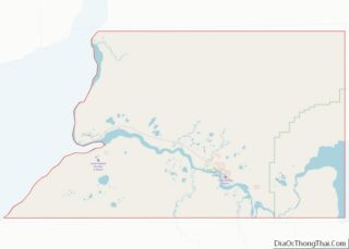
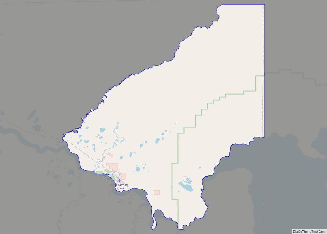
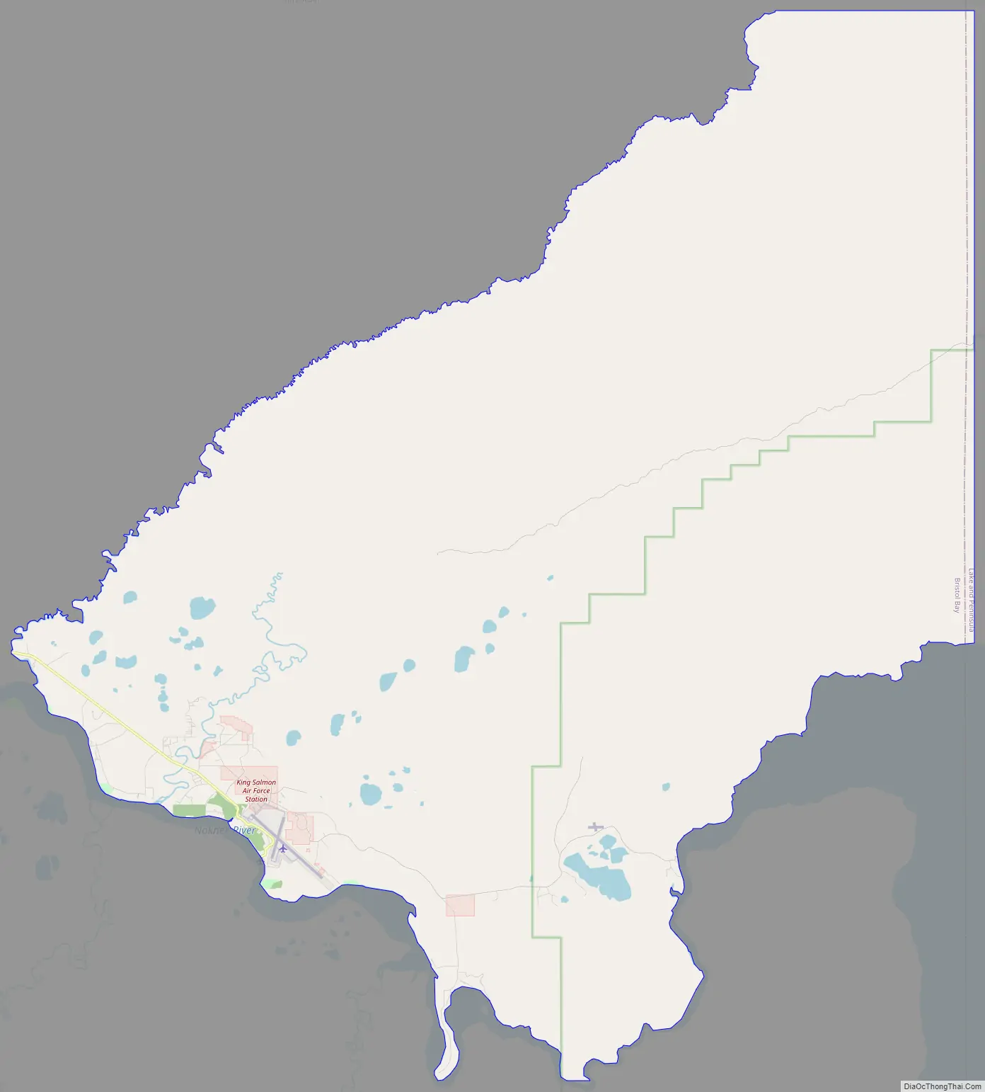
King Salmon is a census-designated place (CDP) in Bristol Bay Borough in the U.S. state of Alaska. It is 284 miles (457 km) southwest of Anchorage. As of the 2020 census the population was 307, down from 374 in 2010. It is home to Katmai National Park and Preserve. King Salmon is the borough seat of neighboring Lake and Peninsula Borough, but does not serve that purpose in its own borough, whose borough seat is in Naknek.
| Name: | King Salmon CDP |
|---|---|
| LSAD Code: | 57 |
| LSAD Description: | CDP (suffix) |
| State: | Alaska |
| County: | Bristol Bay Borough |
| Total Area: | 169.66 sq mi (439.41 km²) |
| Land Area: | 168.20 sq mi (435.65 km²) |
| Water Area: | 1.45 sq mi (3.76 km²) |
| Total Population: | 307 |
| Population Density: | 1.83/sq mi (0.70/km²) |
| ZIP code: | 99613 |
| Area code: | 907 |
| FIPS code: | 0239630 |
Online Interactive Map
Click on ![]() to view map in "full screen" mode.
to view map in "full screen" mode.
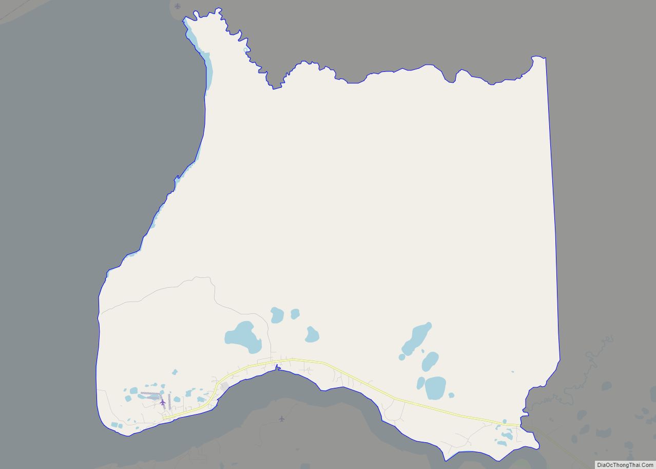
King Salmon location map. Where is King Salmon CDP?

History
In the 1930s, the U.S. government built an air navigation silo at the site of present-day King Salmon. At the beginning of World War II, the U.S. Army Air Forces built an air base around the silo. It was maintained by the Civil Aeronautics Administration throughout the war.
In the 1940s and 1950s, the U.S. Army Corps of Engineers constructed a 25 km (16 mi) long road from King Salmon to Naknek. Other government agencies, such as the National Park Service, Alaska Department of Fish and Game, and the United States Weather Bureau, built facilities at King Salmon. The King Salmon Inn opened in 1956.
King Salmon is now a government, transportation, and service and shipment center for the commercial red salmon and sport fishing industries.
The Air Force base closed in 1994, and is kept in caretaker status (mothballed) by Anchorage-based Chugach Federal Solutions, Inc. King Salmon Airport is now a public access airport.
King Salmon is one of the sites of Super Dual Auroral Radar Network.
In 2010, a local National Weather Service employee and his wife were involved in a domestic terrorism plot that had proceeded to the operational phase. A hit list of 20 people that included media and military personnel was found.
King Salmon Road Map
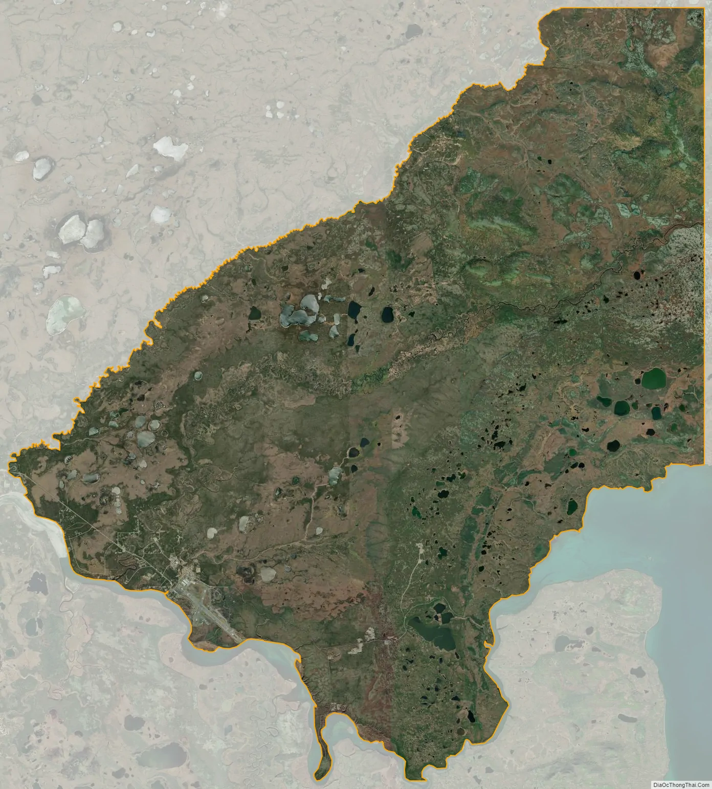
King Salmon city Satellite Map
Geography
King Salmon is on the north bank of the Naknek River on the Alaska Peninsula, about 16 mi (26 km) upriver from Naknek, near Naknek Lake. According to the United States Census Bureau, the CDP has an area of 171.0 square miles (443 km), of which, 169.6 square miles (439 km) is land and 1.4 square miles (3.6 km) (0.82%) is water.
Climate
King Salmon has a subarctic climate (Köppen Dfc) even though it is at 58° North. Temperatures, especially extreme ones, are much less moderate than in the subpolar oceanic climate of the Pacific Ocean side of the Alaska Peninsula; however, average temperatures in winter are still milder than some locations in the coterminous United States, such as Fargo, ND. The town lies just below the southern limit of sporadic permafrost in Alaska, and is strongly sheltered from the extremely wet Aleutian Low which drops most of its moisture on the opposite (eastern) side of the mountains. It is a lot colder than fellow west-coast climates of Europe on the same latitude due to the influence of the Siberian High on Bering Sea surface temperatures. In summer, King Salmon catches up to similar latitudes in the British Isles, where the difference is much stronger in winter. The area remains quite a bit colder year round than around the Baltic Sea in a similar west-facing location.
The warmest temperature recorded is 89 °F (32 °C) in July 2019 and the coldest is −48 °F (−44 °C) in January 1989. Winter days are sometimes very cold due to winds from the interior during cold waves. The coldest daily maximum measured was −34 °F (−37 °C), also in January 1989. During the 1991–2020 normals, the coldest daily maximum averaged −12 °F (−24 °C). Warm summer nights are a rarity, although 65 °F (18 °C) was recorded in August 1919. The warmest low in a regular year averages a modest 55 °F (13 °C).
See also
Map of Alaska State and its subdivision:- Aleutians East
- Aleutians West
- Anchorage
- Bethel
- Bristol Bay
- Denali
- Dillingham
- Fairbanks North Star
- Haines
- Juneau
- Kenai Peninsula
- Ketchikan Gateway
- Kodiak Island
- Lake and Peninsula
- Matanuska-Susitna
- Nome
- North Slope
- Northwest Arctic
- Prince of Wales-Outer Ketchi
- Sitka
- Skagway-Yakutat-Angoon
- Southeast Fairbanks
- Valdez-Cordova
- Wade Hampton
- Wrangell-Petersburg
- Yukon-Koyukuk
- Alabama
- Alaska
- Arizona
- Arkansas
- California
- Colorado
- Connecticut
- Delaware
- District of Columbia
- Florida
- Georgia
- Hawaii
- Idaho
- Illinois
- Indiana
- Iowa
- Kansas
- Kentucky
- Louisiana
- Maine
- Maryland
- Massachusetts
- Michigan
- Minnesota
- Mississippi
- Missouri
- Montana
- Nebraska
- Nevada
- New Hampshire
- New Jersey
- New Mexico
- New York
- North Carolina
- North Dakota
- Ohio
- Oklahoma
- Oregon
- Pennsylvania
- Rhode Island
- South Carolina
- South Dakota
- Tennessee
- Texas
- Utah
- Vermont
- Virginia
- Washington
- West Virginia
- Wisconsin
- Wyoming