Map of Lime Village CDP

Map of Lime Village CDP

Lime Village (Hekdichen Hdakaq’ in Dena’ina) is a census-designated place (CDP) in Bethel Census Area, Alaska, United States. The 2010 census found a population of 29, down from 46 in 2000. It has also been known as Hungry Village. In July 2008, Lime Village gained notoriety when it was reported that their gasoline prices were … Read more

Map of Levelock CDP

Map of Levelock CDP

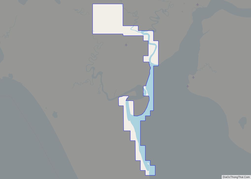
Levelock (Central Yupik: Liivlek) is a census-designated place (CDP) along the Kvichak River in Lake and Peninsula Borough, Alaska, United States. It was known by the indigenous name of Kivichakh, a variant of Kvichak. At the 2020 census the population was 69, same amount as in 2010. Levelock CDP overview: Name: Levelock CDP LSAD Code: … Read more

Map of Lazy Mountain CDP

Map of Lazy Mountain CDP

Lazy Mountain is a census-designated place (CDP) in Matanuska-Susitna Borough, Alaska, United States. Located east of Palmer along the Matanuska River. At the 2020 census the population was 1,506, up from 1,479 in 2010. Lazy Mountain CDP overview: Name: Lazy Mountain CDP LSAD Code: 57 LSAD Description: CDP (suffix) State: Alaska County: Matanuska-Susitna Borough Elevation: … Read more

Map of Lowell Point CDP

Map of Lowell Point CDP

Lowell Point is a census-designated place (CDP) in Kenai Peninsula Borough, Alaska, United States, just outside Seward. At the 2010 census the population was 80, down from 92 in 2000. Lowell Point CDP overview: Name: Lowell Point CDP LSAD Code: 57 LSAD Description: CDP (suffix) State: Alaska County: Kenai Peninsula Borough Elevation: 36 ft (11 m) Total … Read more

Map of Loring CDP

Map of Loring CDP

Loring (Lingít: Kax̱.àan) was established in 1885 with the first post office in the District of Alaska and is a census-designated place (CDP) in Ketchikan Gateway Borough in the U.S. state of Alaska. The population was 4 at the 2010 census, although the number increases in summer months. Located due north of downtown Ketchikan on … Read more

Map of Livengood CDP

Map of Livengood CDP

Livengood /ˈlaɪvənɡʊd/ is a census-designated place (CDP) in Yukon-Koyukuk Census Area, Alaska, United States. The population was 13 at the 2010 census, down from 29 in 2000. Livengood CDP overview: Name: Livengood CDP LSAD Code: 57 LSAD Description: CDP (suffix) State: Alaska County: Yukon-Koyukuk Census Area Elevation: 696 ft (212 m) Total Area: 265.64 sq mi (688.01 km²) Land Area: … Read more

Map of Manley Hot Springs CDP

Map of Manley Hot Springs CDP

Manley Hot Springs (Too Naaleł Denh in Koyukon) is a census-designated place (CDP) in Yukon-Koyukuk Census Area, Alaska, United States. At the 2020 census the population was 169, up from 89 in 2010. Manley Hot Springs CDP overview: Name: Manley Hot Springs CDP LSAD Code: 57 LSAD Description: CDP (suffix) State: Alaska County: Yukon-Koyukuk Census … Read more

Map of Lutak CDP

Map of Lutak CDP

Lutak (Lingít: Lḵoot) is a census-designated place (CDP) in Haines Borough, Alaska, United States. The population was 49 at the 2010 census, up from 39 in 2000. Lutak CDP overview: Name: Lutak CDP LSAD Code: 57 LSAD Description: CDP (suffix) State: Alaska County: Haines Borough Elevation: 30 ft (9 m) Total Area: 133.26 sq mi (345.14 km²) Land Area: 126.96 sq mi … Read more

Map of Lower Kalskag city

Map of Lower Kalskag city

Lower Kalskag (Central Yupik: Qalqaq; Russian: Лоуэр-Калскаг) is a city in Bethel Census Area, Alaska, United States. It is twenty-six miles west of Aniak. At the 2010 census the population was 282, up from 267 in 2000. Lower Kalskag city overview: Name: Lower Kalskag city LSAD Code: 25 LSAD Description: city (suffix) State: Alaska County: … Read more

Map of McCarthy CDP

Map of McCarthy CDP

McCarthy is a census-designated place (CDP) in Copper River Census Area, Alaska, United States. It is in Wrangell-St. Elias National Park and Preserve. The population was 107 at the 2020 census, up from 28 in 2010. McCarthy CDP overview: Name: McCarthy CDP LSAD Code: 57 LSAD Description: CDP (suffix) State: Alaska County: Valdez-Cordova Census Area … Read more

Map of Marshall city

Map of Marshall city, Alaska

Marshall (Central Yupik: Masserculleq) is a city in Kusilvak Census Area, Alaska, United States. At the 2010 census the population was 414, up from 349 in 2000. Marshall city overview: Name: Marshall city LSAD Code: 25 LSAD Description: city (suffix) State: Alaska County: Kusilvak Census Area Incorporated: June 9, 1970 Elevation: 115 ft (35 m) Total Area: … Read more

Map of Manokotak city

Map of Manokotak city

Manokotak (Central Yupik: Manuquutaq) is a city in Dillingham Census Area, Alaska, United States. At the 2010 census the population was 442, up from 399 in 2000. Manokotak city overview: Name: Manokotak city LSAD Code: 25 LSAD Description: city (suffix) State: Alaska County: Dillingham Census Area Incorporated: October 19, 1970 Elevation: 16 ft (5 m) Total Area: … Read more