Livengood /ˈlaɪvənɡʊd/ is a census-designated place (CDP) in Yukon-Koyukuk Census Area, Alaska, United States. The population was 13 at the 2010 census, down from 29 in 2000.
| Name: | Livengood CDP |
|---|---|
| LSAD Code: | 57 |
| LSAD Description: | CDP (suffix) |
| State: | Alaska |
| County: | Yukon-Koyukuk Census Area |
| Elevation: | 696 ft (212 m) |
| Total Area: | 265.64 sq mi (688.01 km²) |
| Land Area: | 265.16 sq mi (686.76 km²) |
| Water Area: | 0.48 sq mi (1.25 km²) |
| Total Population: | 16 |
| Population Density: | 0.06/sq mi (0.02/km²) |
| Area code: | 907 |
| FIPS code: | 0244580 |
| GNISfeature ID: | 1405579 |
Online Interactive Map
Click on ![]() to view map in "full screen" mode.
to view map in "full screen" mode.
Livengood location map. Where is Livengood CDP?

History
Gold was discovered in 1914, on Livengood Creek by N.R. Hudson and Jay Livengood. The village was founded near the Hudson/Livengood claim as a mining camp during the winter of 1914-1915, when hundreds of people came into the district.
A post office was established in 1915 and was discontinued in 1957.
A construction camp was located near Livengood during the construction of the Trans-Alaska Pipeline.
Livengood was the last operating location of the antiquated 2600 Hz telephone trunk system. It was switched to the modern system in March 2011.
Livengood Road Map

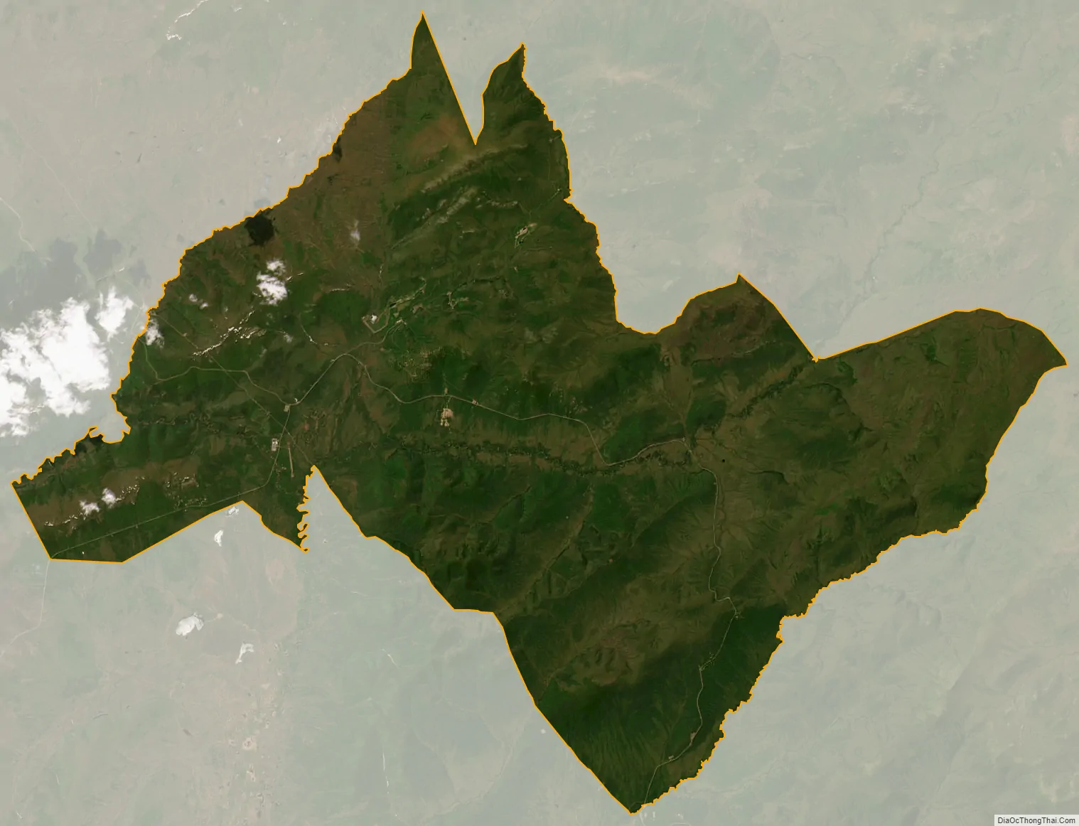
Livengood city Satellite Map
Geography
Livengood is located at 65°29′24″N 148°32′48″W / 65.49000°N 148.54667°W / 65.49000; -148.54667 (65.489993, -148.546629).
According to the United States Census Bureau, the CDP has a total area of 267.8 square miles (694 km), of which 265.7 square miles (688 km) is land and 2.2 square miles (5.7 km) (0.81%) is water.
See also
Map of Alaska State and its subdivision:- Aleutians East
- Aleutians West
- Anchorage
- Bethel
- Bristol Bay
- Denali
- Dillingham
- Fairbanks North Star
- Haines
- Juneau
- Kenai Peninsula
- Ketchikan Gateway
- Kodiak Island
- Lake and Peninsula
- Matanuska-Susitna
- Nome
- North Slope
- Northwest Arctic
- Prince of Wales-Outer Ketchi
- Sitka
- Skagway-Yakutat-Angoon
- Southeast Fairbanks
- Valdez-Cordova
- Wade Hampton
- Wrangell-Petersburg
- Yukon-Koyukuk
- Alabama
- Alaska
- Arizona
- Arkansas
- California
- Colorado
- Connecticut
- Delaware
- District of Columbia
- Florida
- Georgia
- Hawaii
- Idaho
- Illinois
- Indiana
- Iowa
- Kansas
- Kentucky
- Louisiana
- Maine
- Maryland
- Massachusetts
- Michigan
- Minnesota
- Mississippi
- Missouri
- Montana
- Nebraska
- Nevada
- New Hampshire
- New Jersey
- New Mexico
- New York
- North Carolina
- North Dakota
- Ohio
- Oklahoma
- Oregon
- Pennsylvania
- Rhode Island
- South Carolina
- South Dakota
- Tennessee
- Texas
- Utah
- Vermont
- Virginia
- Washington
- West Virginia
- Wisconsin
- Wyoming


