Map of Scammon Bay city

Map of Scammon Bay city

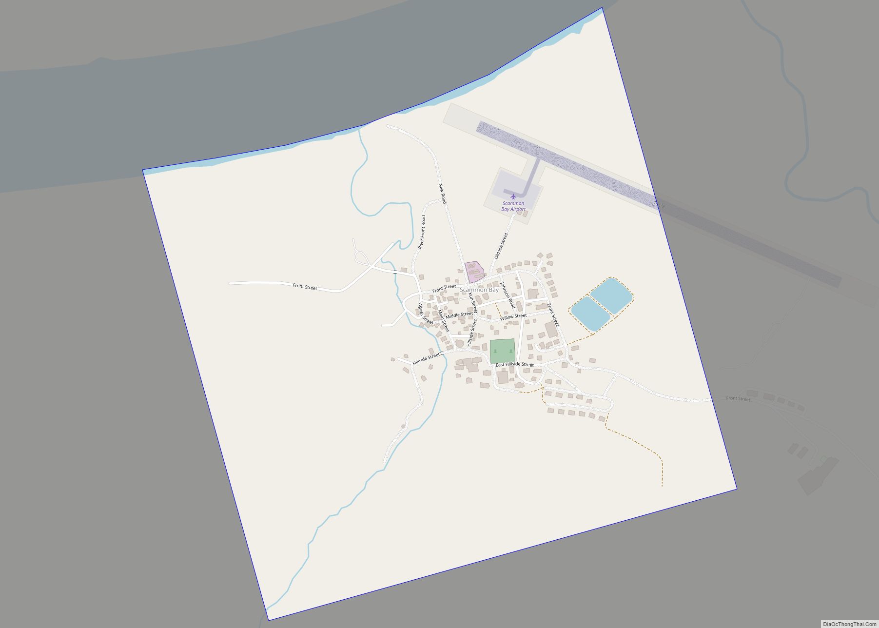
Scammon Bay (Central Yupik: Marayaarmiut) is a city in Kusilvak Census Area, Alaska, United States. At the 2010 census the population was 474, up from 465 in 2000. Scammon Bay city overview: Name: Scammon Bay city LSAD Code: 25 LSAD Description: city (suffix) State: Alaska County: Kusilvak Census Area Incorporated: May 22, 1967 Elevation: 16 ft … Read more

Map of Saxman city

Map of Saxman city

Saxman (Lingít: T’èesh Ḵwáan Xagu) is a town on Revillagigedo Island in Ketchikan Gateway Borough in southeastern Alaska, United States. At the 2010 census the population was 411, down from 431 in 2000. The city of Ketchikan lies just to its northwest. Saxman city overview: Name: Saxman city LSAD Code: 25 LSAD Description: city (suffix) … Read more

Map of Savoonga city

Map of Savoonga city

Savoonga is a city in Nome Census Area, Alaska. It is located on St. Lawrence Island in the Bering Sea. As of the 2020 census, Savoonga’s population was 835, up from 671 in 2010. Savoonga was incorporated in 1969. In 1971, it became joint owner of St. Lawrence Island along with the island’s only other … Read more

Map of Seldovia city

Map of Seldovia city

Seldovia (Alutiiq: Angagkitaqnuuq; Dena’ina: Angidahtnu; Russian: Селдовия) is a city in Kenai Peninsula Borough, Alaska, United States. Its population was 255 at the 2010 census, down from 286 in 2000. It is located along Kachemak Bay southwest of Homer. There is no road system connecting the town to other communities, so all travel to Seldovia is … Read more

Map of Seldovia Village CDP

Map of Seldovia Village CDP

Seldovia Village is a census-designated place (CDP) in Kenai Peninsula Borough, Alaska, United States. At the 2010 census the population was 165, up from 144 in 2000. Seldovia Village is not to be confused with the adjacent city of Seldovia. Seldovia Village CDP overview: Name: Seldovia Village CDP LSAD Code: 57 LSAD Description: CDP (suffix) … Read more

Map of Selawik city

Map of Selawik city

Selawik (/ˈsɛləwɪk/) (Iñupiaq: Siiḷ(i)vik or Akuliġaq) is a city in Northwest Arctic Borough, Alaska, United States. At the 2010 census the population was 829, up from 772 in 2000. Selawik comes from siiḷivik, which means “place of sheefish” in Inupiaq. Selawik city overview: Name: Selawik city LSAD Code: 25 LSAD Description: city (suffix) State: Alaska … Read more

Map of Shaktoolik city

Map of Shaktoolik city

Shaktoolik (Inupiaq: Saktuliq, IPA: [sɑqtuleq]; Central Yupik: Cagtuleq) is a city in Nome Census Area, Alaska, United States. At the 2010 census the population was 251, up from 230 in 2000. Shaktoolik is one of a number of Alaskan communities threatened by erosion and related global warming effects. The community has been relocated twice. Shaktoolik city … Read more

Map of Shageluk city

Map of Shageluk city

Shageluk (Deg Xinag: Łeggi Jitno’) is a city in Yukon-Koyukuk Census Area, Alaska, United States. At the 2010 census the population was 83, down from 129 in 2000. Shageluk city overview: Name: Shageluk city LSAD Code: 25 LSAD Description: city (suffix) State: Alaska County: Yukon-Koyukuk Census Area Incorporated: July 9, 1970 Elevation: 62 ft (19 m) Total … Read more

Map of Seward city

Map of Seward city, Alaska

Seward (Alutiiq: Qutalleq; Dena’ina: Tl’ubugh) is an incorporated home rule city in Alaska, United States. Located on Resurrection Bay, a fjord of the Gulf of Alaska on the Kenai Peninsula, Seward is situated on Alaska’s southern coast, approximately 120 miles (190 km) by road from Alaska’s largest city, Anchorage. With a population of 2,717 people as of … Read more

Map of Silver Springs CDP

Map of Silver Springs CDP, Alaska

Silver Springs is a census-designated place (CDP) in Copper River Census Area, Alaska, United States. At the 2020 census the population was 111, down from 114 in 2010. Silver Springs CDP overview: Name: Silver Springs CDP LSAD Code: 57 LSAD Description: CDP (suffix) State: Alaska County: Valdez-Cordova Census Area Total Area: 2.56 sq mi (6.64 km²) Land Area: … Read more

Map of Shungnak city

Map of Shungnak city

Shungnak (Inupiaq: Isiŋnaq or Nuurviuraq) is a city in Northwest Arctic Borough, Alaska, United States. At the 2010 census the population was 262, up from 256 in 2000. Shungnak city overview: Name: Shungnak city LSAD Code: 25 LSAD Description: city (suffix) State: Alaska County: Northwest Arctic Borough Incorporated: May 4, 1967 Elevation: 144 ft (44 m) Total … Read more

Map of Shishmaref city

Map of Shishmaref city

Shishmaref (/ˈʃɪʃmərɛf/ SHISH-mə-ref; Inupiaq: Qigiqtaq, IPA: [qixiqtaq]; Russian: Шишмарёв, IPA: [ʂɨʂmɐˈrʲɵf]) is a city in the Nome Census Area, Alaska, United States. It is located on Sarichef Island in the Chukchi Sea, just north of the Bering Strait and five miles from the mainland. Shishmaref lies within the Bering Land Bridge National Preserve. The population was 563 … Read more