Savoonga is a city in Nome Census Area, Alaska. It is located on St. Lawrence Island in the Bering Sea. As of the 2020 census, Savoonga’s population was 835, up from 671 in 2010.
Savoonga was incorporated in 1969. In 1971, it became joint owner of St. Lawrence Island along with the island’s only other city, Gambell.
The local economy consists largely of subsistence hunting for walrus, seals, fish, and bowhead whales. The city calls itself the “Walrus Capital of the World”. A dogsled mail service operated until 1963.
| Name: | Savoonga city |
|---|---|
| LSAD Code: | 25 |
| LSAD Description: | city (suffix) |
| State: | Alaska |
| County: | Nome Census Area |
| Incorporated: | October 6, 1969 |
| Elevation: | 0 ft (0 m) |
| Total Area: | 5.87 sq mi (15.21 km²) |
| Land Area: | 5.87 sq mi (15.21 km²) |
| Water Area: | 0.00 sq mi (0.00 km²) |
| Total Population: | 835 |
| Population Density: | 142.20/sq mi (54.91/km²) |
| ZIP code: | 99769 |
| Area code: | 907 |
| FIPS code: | 0267460 |
| GNISfeature ID: | 1409106 |
Online Interactive Map
Click on ![]() to view map in "full screen" mode.
to view map in "full screen" mode.
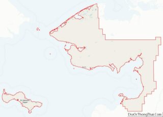
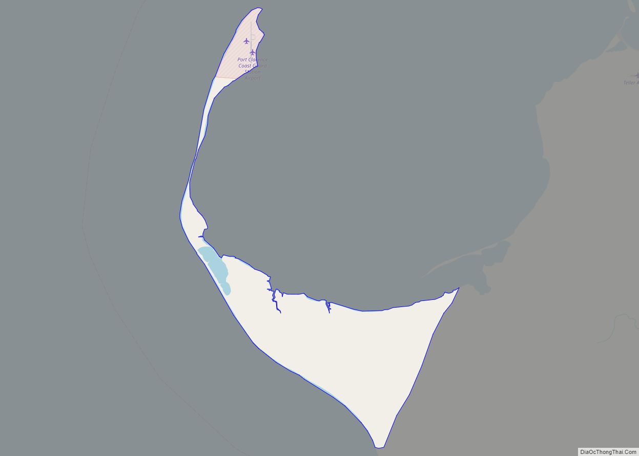
Savoonga location map. Where is Savoonga city?

History
St. Lawrence Island has been inhabited sporadically for the past 2,000 years by both Alaskan Yup’ik and Siberian Yupik people. In the 18th and 19th centuries, the island had a population of about 4,000 in numerous villages.
Between 1878 and 1880, a famine devastated the island’s population. Many who did not starve left. The remaining population of St. Lawrence Island was nearly all Siberian Yupik.
In 1900, reindeer were introduced on the island and by 1917, the herd had grown to over 10,000 animals. A reindeer camp was established near present-day Savoonga in 1916. The village of Savoonga was established near the camp in the 1930s. Good hunting and trapping in the area attracted more residents.
Gambell and Savoonga received joint title to most of the land on St. Lawrence Island under the Alaska Native Claims Settlement Act of 1971.
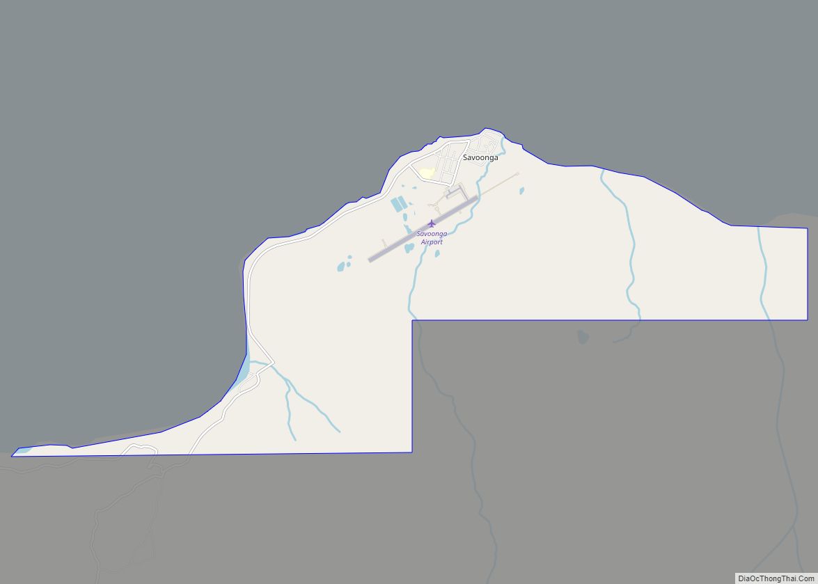
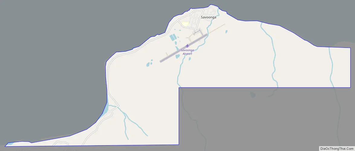
Savoonga Road Map
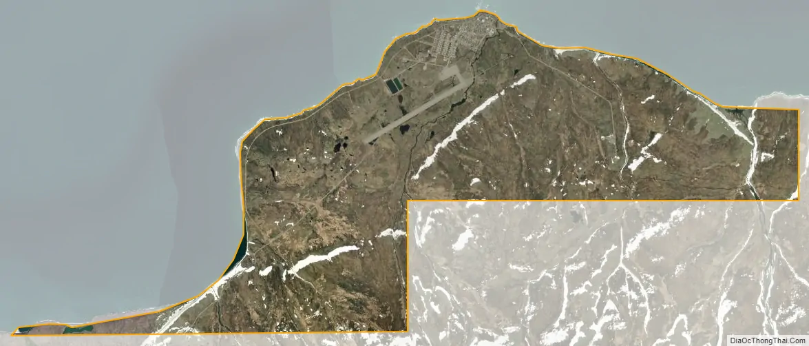
Savoonga city Satellite Map
Geography
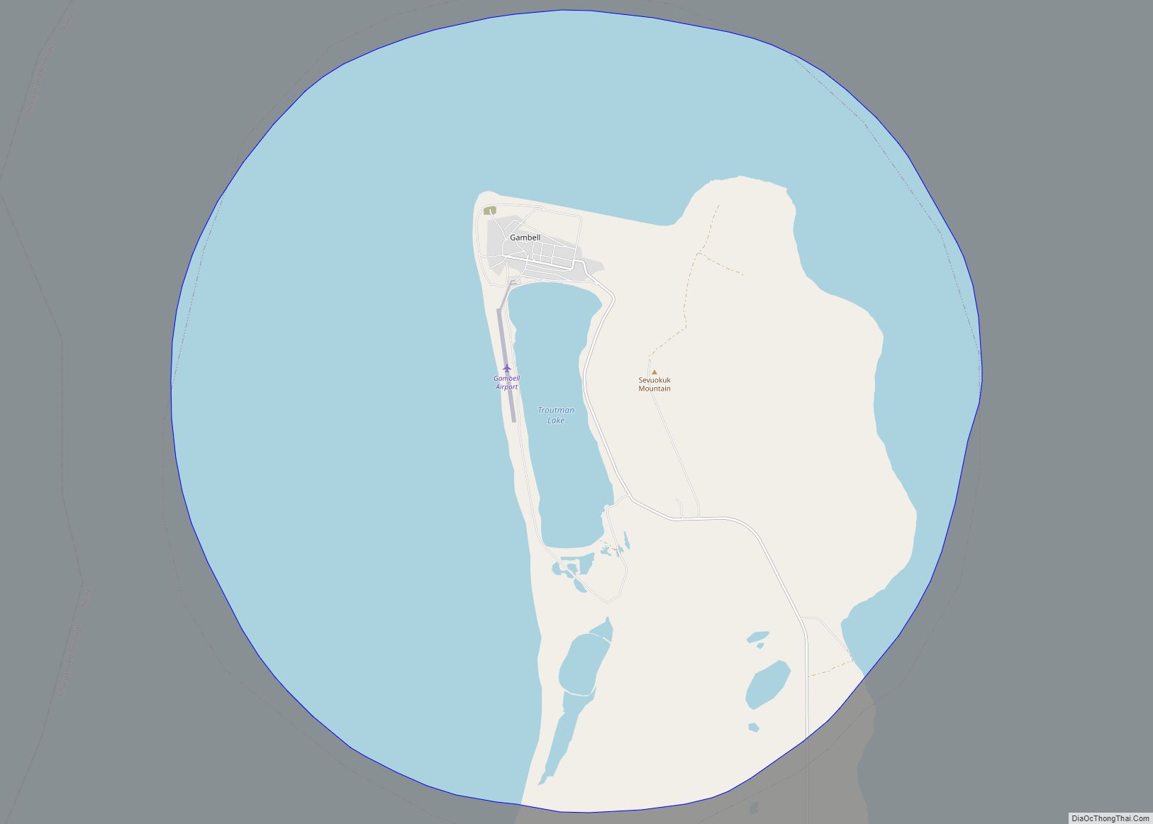
Savoonga is on the northern coast of St. Lawrence Island in the Bering Sea. It is 63 km (39 mi) southeast of Gambell.
According to the United States Census Bureau, the city has a total area of 6.1 square miles (16 km), all of it land.
Most people on St. Lawrence Island speak Siberian Yupik.
There are daily flights from Nome to Savoonga Airport, weather permitting.
Climate
Savoonga has a polar climate (Köppen ET) with short, cool summers and long, freezing winters lasting from the beginning of October to the end of May. Average annual snowfall totals 68.6 inches or 1.74 metres with peak snowpack depth being 21 inches or 0.53 metres in April.
See also
Map of Alaska State and its subdivision:- Aleutians East
- Aleutians West
- Anchorage
- Bethel
- Bristol Bay
- Denali
- Dillingham
- Fairbanks North Star
- Haines
- Juneau
- Kenai Peninsula
- Ketchikan Gateway
- Kodiak Island
- Lake and Peninsula
- Matanuska-Susitna
- Nome
- North Slope
- Northwest Arctic
- Prince of Wales-Outer Ketchi
- Sitka
- Skagway-Yakutat-Angoon
- Southeast Fairbanks
- Valdez-Cordova
- Wade Hampton
- Wrangell-Petersburg
- Yukon-Koyukuk
- Alabama
- Alaska
- Arizona
- Arkansas
- California
- Colorado
- Connecticut
- Delaware
- District of Columbia
- Florida
- Georgia
- Hawaii
- Idaho
- Illinois
- Indiana
- Iowa
- Kansas
- Kentucky
- Louisiana
- Maine
- Maryland
- Massachusetts
- Michigan
- Minnesota
- Mississippi
- Missouri
- Montana
- Nebraska
- Nevada
- New Hampshire
- New Jersey
- New Mexico
- New York
- North Carolina
- North Dakota
- Ohio
- Oklahoma
- Oregon
- Pennsylvania
- Rhode Island
- South Carolina
- South Dakota
- Tennessee
- Texas
- Utah
- Vermont
- Virginia
- Washington
- West Virginia
- Wisconsin
- Wyoming