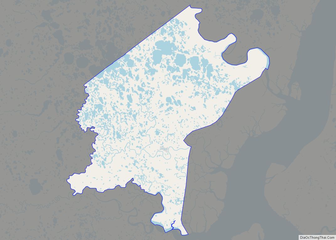
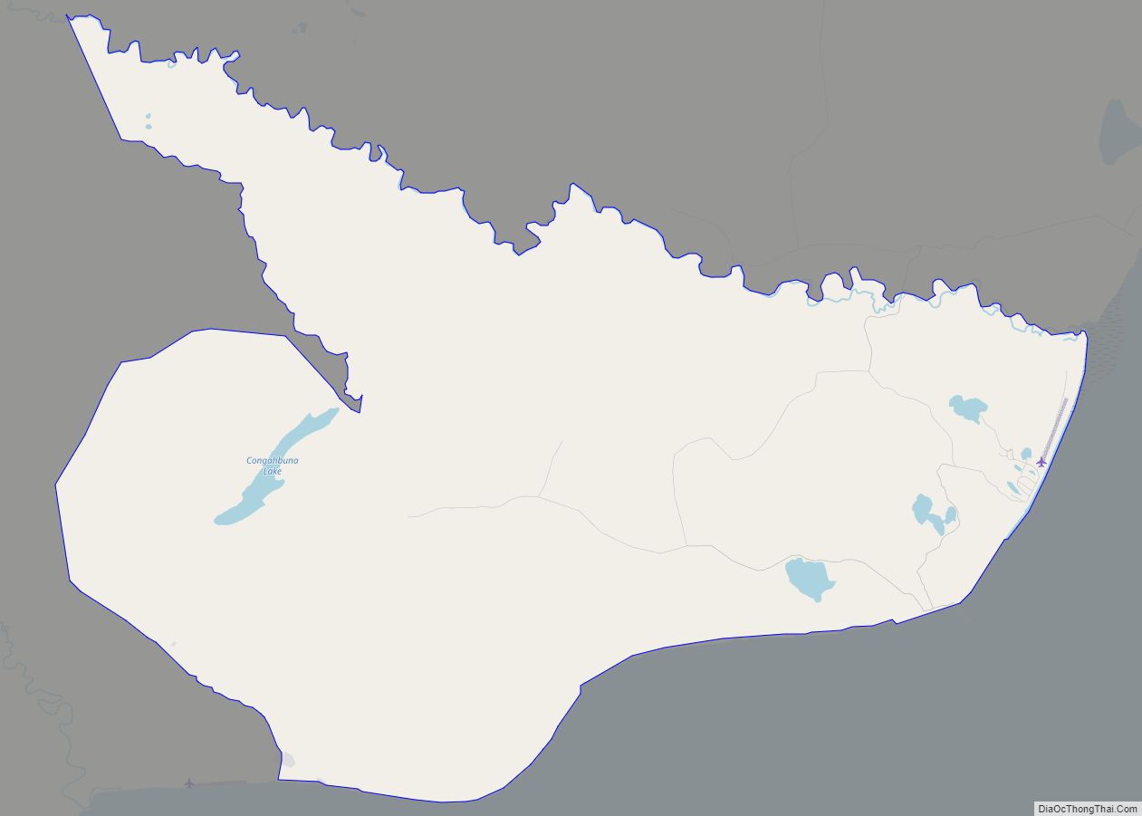
Tuntutuliak (Central Yupik: Tuntutuliaq) is a census-designated place (CDP) in Bethel Census Area, Alaska, United States. At the 2010 census the population was 408, up from 370 in 2000. Tuntutuliak CDP overview: Name: Tuntutuliak CDP LSAD Code: 57 LSAD Description: CDP (suffix) State: Alaska County: Bethel Census Area Total Area: 116.17 sq mi (300.88 km²) Land Area: 115.89 sq mi ... Read more
Alaska Cities and Places
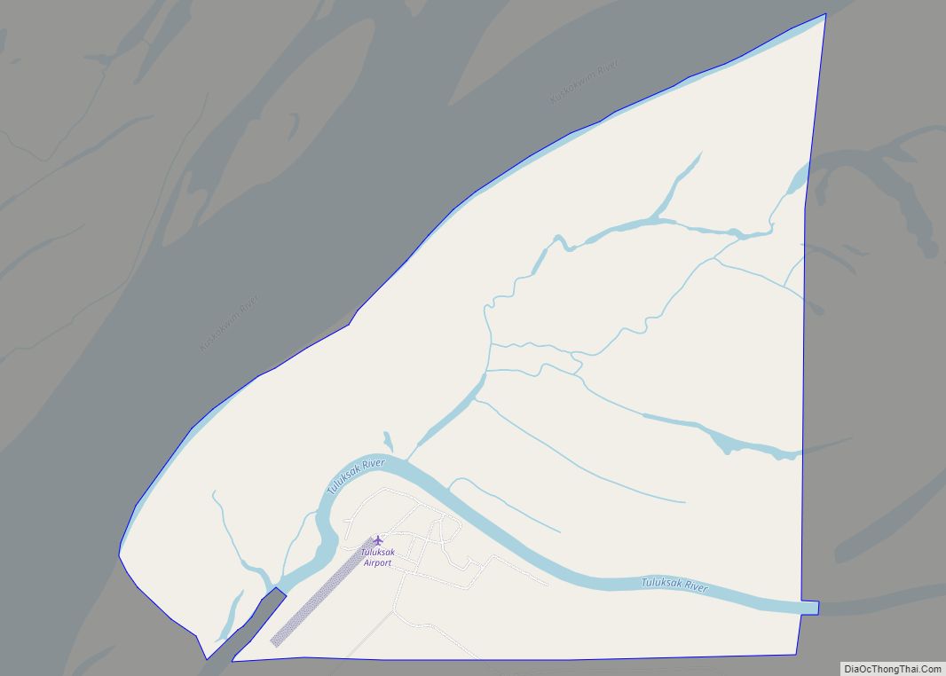
Tuluksak (Central Yupik: Tuulkessaaq) is a census-designated place (CDP) in Bethel Census Area, Alaska, United States. At the 2010 census the population was 373, down from 428 in 2000. Tuluksak CDP overview: Name: Tuluksak CDP LSAD Code: 57 LSAD Description: CDP (suffix) State: Alaska County: Bethel Census Area Incorporated: October 28, 1970 Total Area: 3.02 sq mi ... Read more
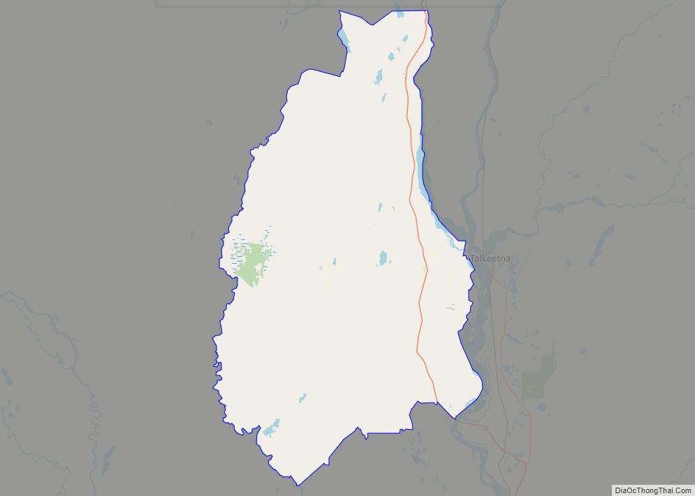
Trapper Creek is a census-designated place (CDP) in Matanuska-Susitna Borough, Alaska, United States. It is part of the Anchorage Metropolitan Area and is known as the southern gateway to Denali State Park. According to the 2020 census the population of Trapper Creek was 499. Trapper Creek CDP overview: Name: Trapper Creek CDP LSAD Code: 57 ... Read more
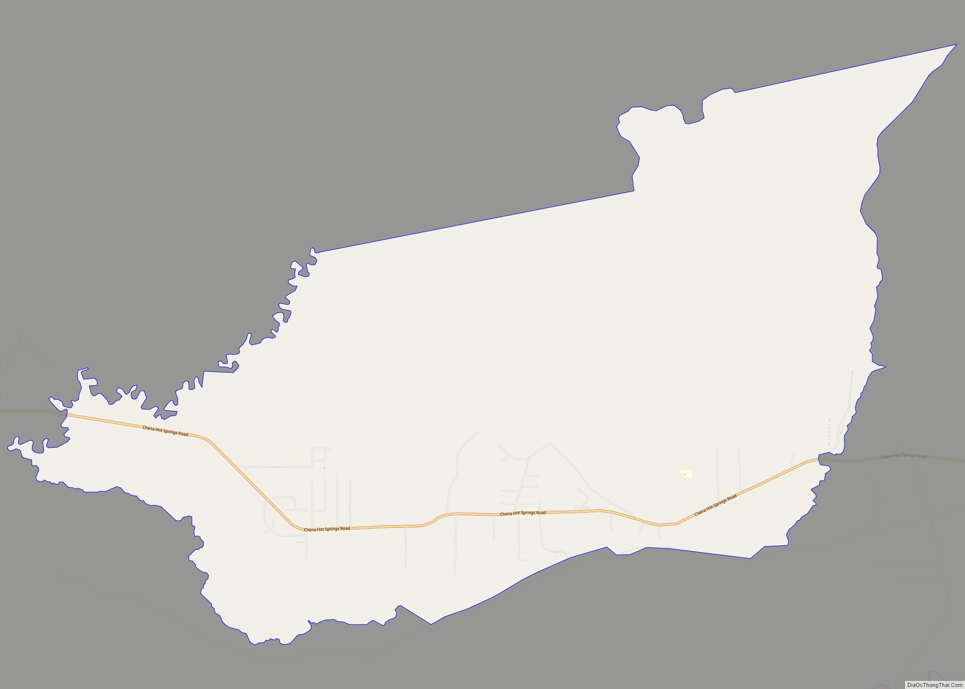
Two Rivers is a census-designated place (CDP) in Fairbanks North Star Borough, Alaska, United States. It lies between mile 13 (the Little Chena River) and mile 25 (the Chena River) on the Chena Hot Springs Road, northeast of Fairbanks. As of the 2010 United States Census, the CDP had a population of 719, up from ... Read more
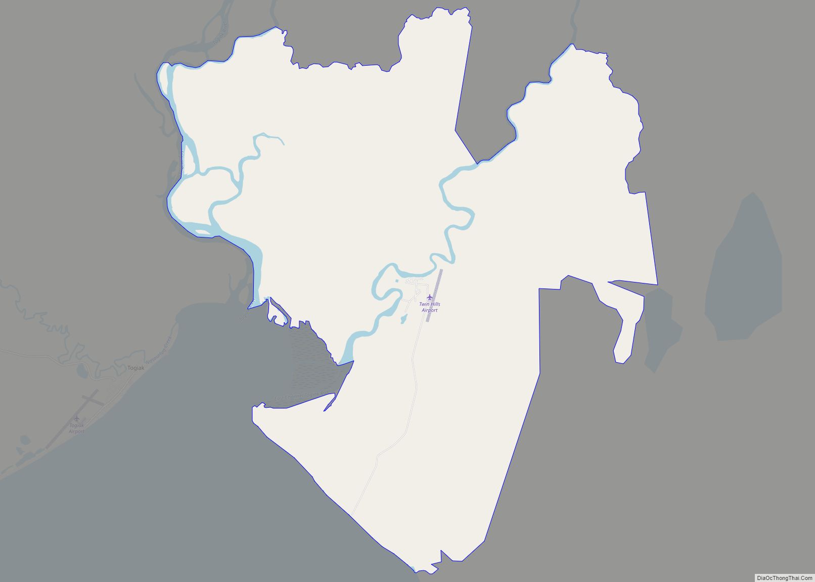
Twin Hills (Central Yupik: Ingricuar) is a census-designated place (CDP) in Dillingham Census Area, Alaska, United States. The population was 74 at the 2010 census, up from 69 in 2000. Although Twin Hills wasn’t settled until 1965, the present CDP encompasses the original settlement of Togiak (then Togiagamute) on the northeast side of Togiak Bay. ... Read more
Tununak (Too-new-nak) (Central Yupik: Tununeq) is a census-designated place (CDP) in Bethel Census Area, Alaska, United States. At the 2020 census, the population was 411. Tununak CDP overview: Name: Tununak CDP LSAD Code: 57 LSAD Description: CDP (suffix) State: Alaska County: Bethel Census Area Total Area: 60.95 sq mi (157.85 km²) Land Area: 60.71 sq mi (157.23 km²) Water Area: 0.24 sq mi ... Read more
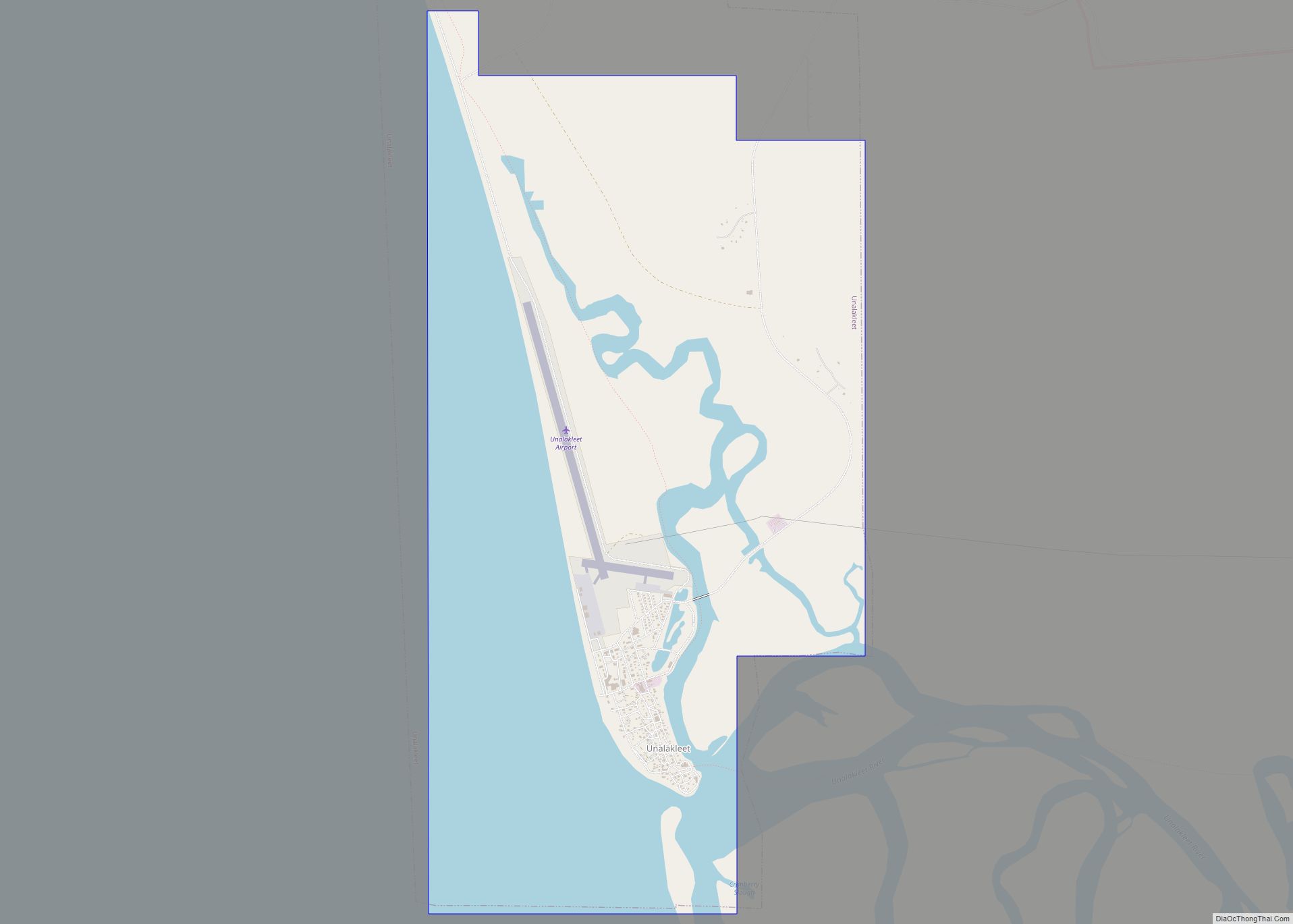
Unalakleet (/ˈjuːnələkliːt/ YOO-nə-lə-kleet; Inupiaq: Uŋalaqłiq, IPA: [uŋɐlɑχɬeq]; Russian: Уналаклит) is a city in Nome Census Area, Alaska, United States, in the western part of the state. At the 2010 census the population was 688, down from 747 in 2000. Unalakleet is known in the region and around Alaska for its salmon and king crab harvests; the ... Read more
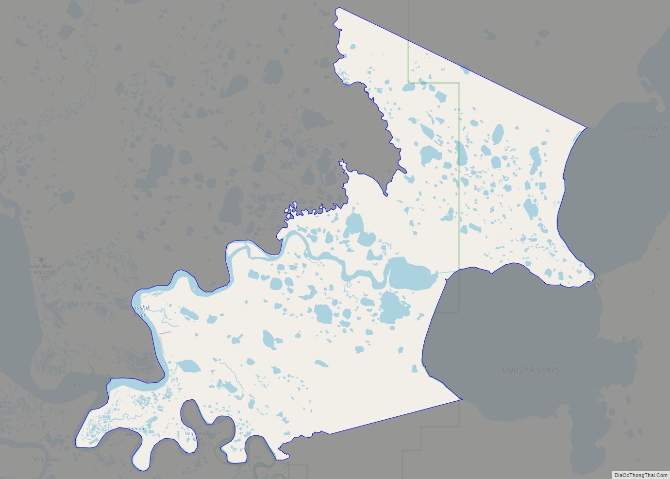
Ugashik (Ugaasaq in Sugpiaq) is a census-designated place (CDP) in Lake and Peninsula Borough, Alaska, United States. The population was 4 at the 2020 census, down from 12 in 2010. Ugashik CDP overview: Name: Ugashik CDP LSAD Code: 57 LSAD Description: CDP (suffix) State: Alaska County: Lake and Peninsula Borough Elevation: 30 ft (9 m) Total Area: ... Read more
Tyonek or Present / New Tyonek (Dena’ina: Qaggeyshlat – ″little place between toes”) is a census-designated place (CDP) in Kenai Peninsula Borough in the U.S. state of Alaska. As of the 2020 census the population was 152, down from 171 in 2010. In 1973, the community formed the Tyonek Native Corporation (TNC) under the Alaska ... Read more
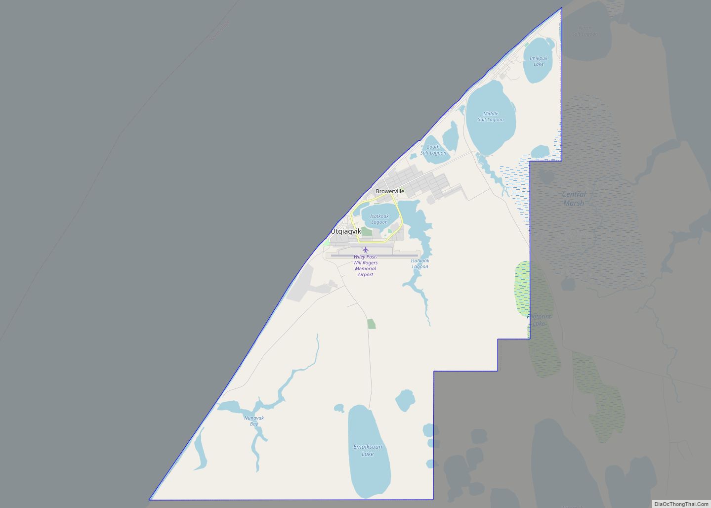
Utqiagvik city overview: Name: Utqiagvik city LSAD Code: 25 LSAD Description: city (suffix) State: Alaska FIPS code: 0281920 Online Interactive Map Utqiagvik online map. Source: Basemap layers from Google Map, Open Street Map (OSM), Arcgisonline, Wmflabs. Boundary Data from Database of Global Administrative Areas. Utqiagvik location map. Where is Utqiagvik city? Utqiagvik Road Map Utqiagvik ... Read more
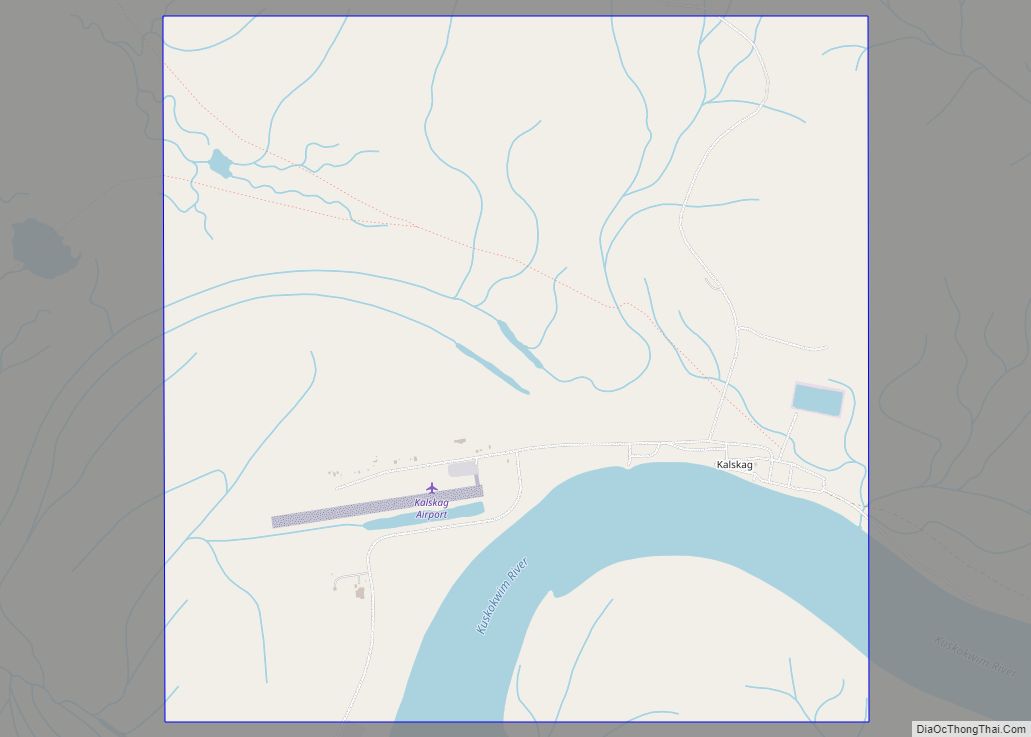
Upper Kalskag (Russian: Аппер-Калскаг) is a city in Bethel Census Area, Alaska, United States. It is thirty miles west of Aniak. At the 2010 census the population was 210, down from 230 in 2000. Upper Kalskag city overview: Name: Upper Kalskag city LSAD Code: 25 LSAD Description: city (suffix) State: Alaska County: Bethel Census Area ... Read more
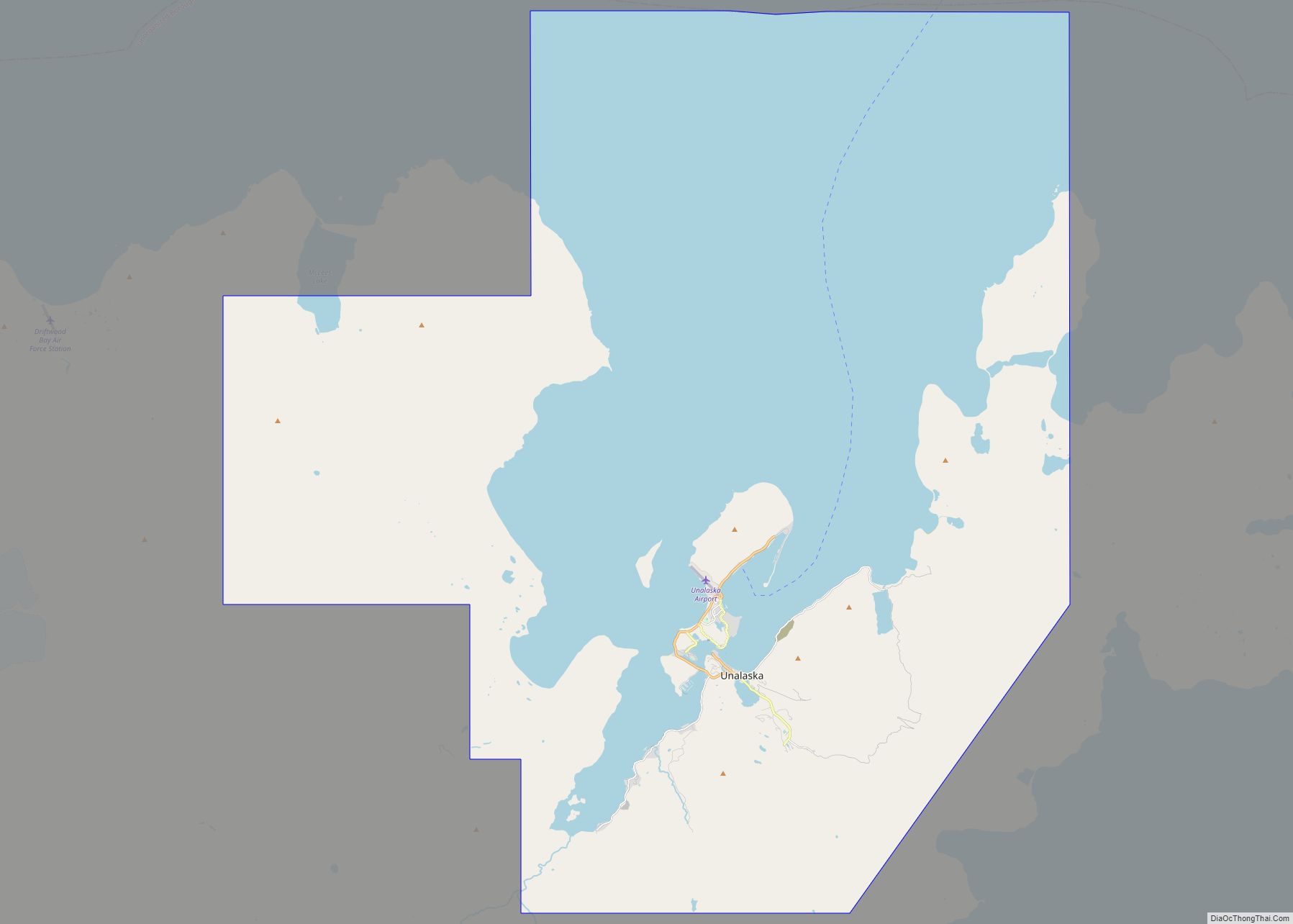
The City of Unalaska (Aleut: Iluulux̂; Russian: Уналашка) is the main population center in the Aleutian Islands. The city is in the Aleutians West Census Area, a regional component of the Unorganized Borough in the U.S. state of Alaska. Unalaska is located on Unalaska Island and neighboring Amaknak Island in the Aleutian Islands off mainland ... Read more
