Two Rivers is a census-designated place (CDP) in Fairbanks North Star Borough, Alaska, United States. It lies between mile 13 (the Little Chena River) and mile 25 (the Chena River) on the Chena Hot Springs Road, northeast of Fairbanks. As of the 2010 United States Census, the CDP had a population of 719, up from 482 in 2000.
| Name: | Two Rivers CDP |
|---|---|
| LSAD Code: | 57 |
| LSAD Description: | CDP (suffix) |
| State: | Alaska |
| County: | Fairbanks North Star Borough |
| Total Area: | 27.67 sq mi (71.68 km²) |
| Land Area: | 27.67 sq mi (71.68 km²) |
| Water Area: | 0.00 sq mi (0.00 km²) |
| Total Population: | 650 |
| Population Density: | 23.49/sq mi (9.07/km²) |
| ZIP code: | 99716 |
| Area code: | 907 |
| FIPS code: | 0279830 |
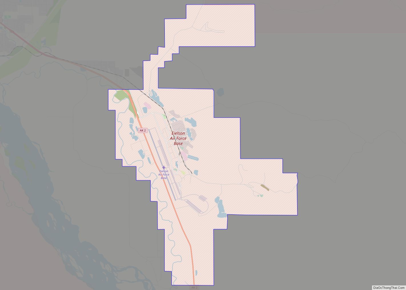
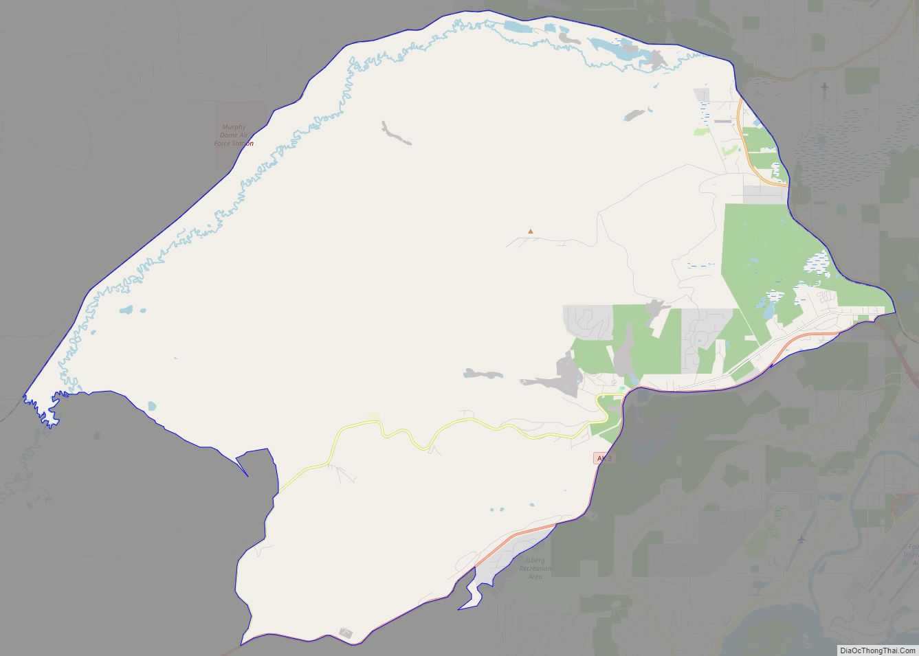
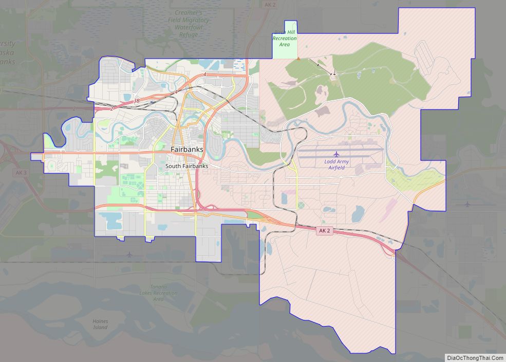
Online Interactive Map
Click on ![]() to view map in "full screen" mode.
to view map in "full screen" mode.
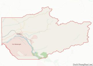
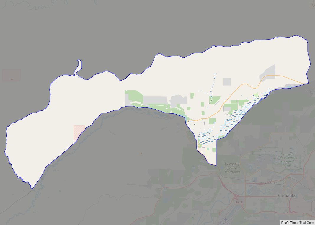
Two Rivers location map. Where is Two Rivers CDP?

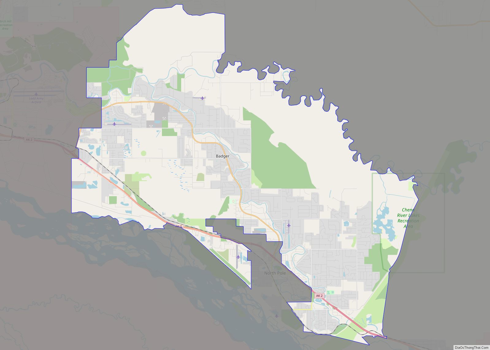
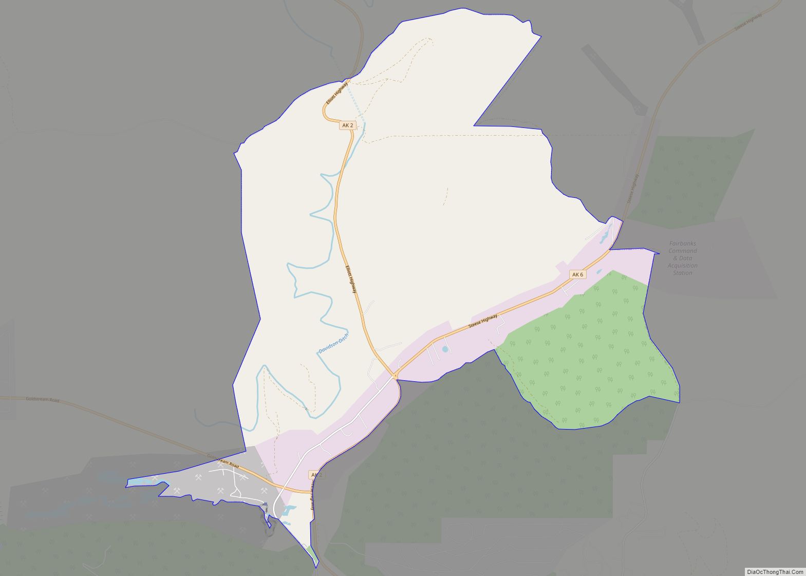
Two Rivers Road Map
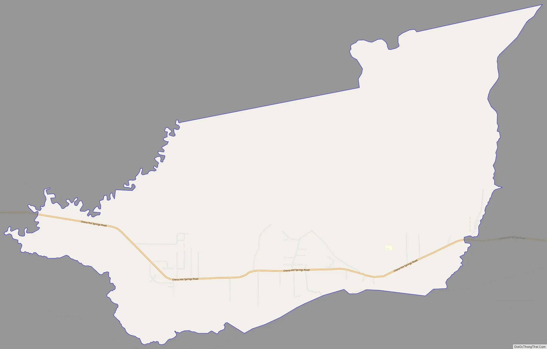
Two Rivers city Satellite Map

Geography
Two Rivers is located at 64°51′45″N 147°5′56″W / 64.86250°N 147.09889°W / 64.86250; -147.09889 (64.862366, -147.098884).
According to the United States Census Bureau, the CDP has a total area of 28.5 square miles (74 km), all of it land.
Two Rivers has a subarctic climate (Dfc) showing signs of seasonal lead, with June being warmer than August and May being warmer than September. Summers are warm and rainy, coupled with cool nights, while winters are severely cold and snowy, with annual snowfall averaging 62 inches (157 cm).
See also
Map of Alaska State and its subdivision:- Aleutians East
- Aleutians West
- Anchorage
- Bethel
- Bristol Bay
- Denali
- Dillingham
- Fairbanks North Star
- Haines
- Juneau
- Kenai Peninsula
- Ketchikan Gateway
- Kodiak Island
- Lake and Peninsula
- Matanuska-Susitna
- Nome
- North Slope
- Northwest Arctic
- Prince of Wales-Outer Ketchi
- Sitka
- Skagway-Yakutat-Angoon
- Southeast Fairbanks
- Valdez-Cordova
- Wade Hampton
- Wrangell-Petersburg
- Yukon-Koyukuk
- Alabama
- Alaska
- Arizona
- Arkansas
- California
- Colorado
- Connecticut
- Delaware
- District of Columbia
- Florida
- Georgia
- Hawaii
- Idaho
- Illinois
- Indiana
- Iowa
- Kansas
- Kentucky
- Louisiana
- Maine
- Maryland
- Massachusetts
- Michigan
- Minnesota
- Mississippi
- Missouri
- Montana
- Nebraska
- Nevada
- New Hampshire
- New Jersey
- New Mexico
- New York
- North Carolina
- North Dakota
- Ohio
- Oklahoma
- Oregon
- Pennsylvania
- Rhode Island
- South Carolina
- South Dakota
- Tennessee
- Texas
- Utah
- Vermont
- Virginia
- Washington
- West Virginia
- Wisconsin
- Wyoming