Map of Cantwell CDP

Map of Cantwell CDP

Cantwell (Yidateni Na’ in Ahtna Athabascan) is a census-designated place (CDP) in Denali Borough, Alaska, United States. As of the 2020 census, the population of the CDP was 200. Cantwell is the western terminus of the Denali Highway. Once an Alaska Railroad flag stop at the junction with the Denali Highway, it was founded off … Read more

Map of Butte CDP

Map of Butte CDP, Alaska

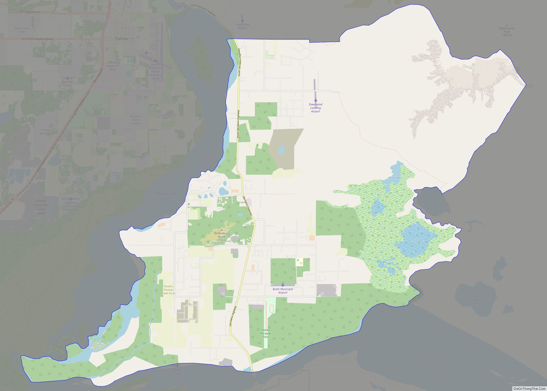
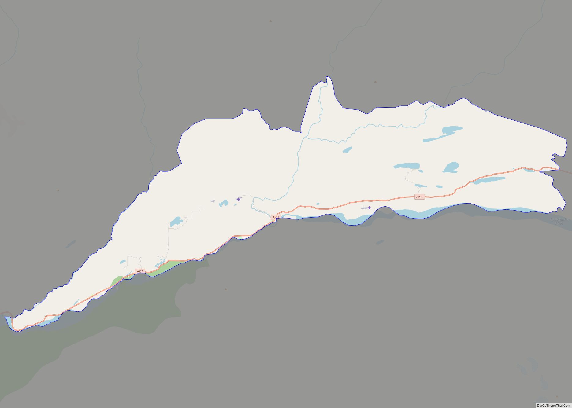
Butte is a census-designated place (CDP) in Matanuska-Susitna Borough, Alaska, United States. It is part of the Anchorage, Alaska Metropolitan Statistical Area. At the 2020 census, the population was 3,589, up from 3,246 in 2010. Butte is located between the Matanuska River and the Knik River, approximately 5 miles (8 km) southeast of Palmer. It is … Read more

Map of Buffalo Soapstone CDP

Map of Buffalo Soapstone CDP

Buffalo Soapstone is a census-designated place (CDP) in Matanuska-Susitna Borough, Alaska, United States. It is part of the Anchorage, Alaska Metropolitan Statistical Area. The population was 1,021 at the 2020 census, up from 855 in 2010. Buffalo Soapstone CDP overview: Name: Buffalo Soapstone CDP LSAD Code: 57 LSAD Description: CDP (suffix) State: Alaska County: Matanuska-Susitna … Read more

Map of Chase CDP

Map of Chase CDP, Alaska

Chase is a census-designated place (CDP) in Matanuska-Susitna Borough, Alaska, United States. Located 9.2 miles north from Talkeetna, it is part of the Anchorage, Alaska Metropolitan Statistical Area. The population was 19 at the 2020 census, down from 34 in 2010. Chase CDP overview: Name: Chase CDP LSAD Code: 57 LSAD Description: CDP (suffix) State: … Read more

Map of Chalkyitsik CDP

Map of Chalkyitsik CDP

Chalkyitsik (Jałgiitsik in Gwich’in), meaning “to fish with a hook, at the mouth of the creek”, is a census-designated place (CDP) in Yukon-Koyukuk Census Area, Alaska, United States. It is located on the left (south) bank of the Black River, 45 miles northeast of Fort Yukon. At the 2010 census the population was 69, down … Read more

Map of Central CDP

Map of Central CDP, Alaska

Central is a census-designated place (CDP) in Yukon-Koyukuk Census Area, Alaska, United States. At the 2010 census the population was 96, down from 134 in 2000. Every February, Central hosts a checkpoint for the long-distance Yukon Quest sled dog race. Central CDP overview: Name: Central CDP LSAD Code: 57 LSAD Description: CDP (suffix) State: Alaska … Read more

Map of Chenega CDP

Map of Chenega CDP

Chenega (/tʃɪˈniːɡə/; Alutiiq: Caniqaq) is a census-designated place (CDP) on Evans Island in the Chugach Census Area in the U.S. state of Alaska. Located in Prince William Sound, the CDP consists of the Chugach Alutiiq village of Chenega Bay, which was established only after the Good Friday earthquake destroyed the original community on Chenega Island … Read more

Map of Chena Ridge CDP

Map of Chena Ridge CDP

Chena Ridge (Lower Tanana: Khotughee’oden) is a census-designated place (CDP) in Fairbanks North Star Borough, Alaska, United States. It is the location of the former city (1903-73) of Chena, now a ghost town that once rivaled nearby Fairbanks in importance. One of the new CDPs created in 2010 in Alaska, Chena Ridge is now a … Read more

Map of Chefornak city

Map of Chefornak city

Chefornak (Central Yupik: Cevvʼarneq) is a city in Bethel Census Area, Alaska, United States. At the 2010 census its population was 418, up from 394 in 2000. Chefornak city overview: Name: Chefornak city LSAD Code: 25 LSAD Description: city (suffix) State: Alaska County: Bethel Census Area Incorporated: 1974 Elevation: 0 ft (0 m) Total Area: 5.99 sq mi (15.51 km²) … Read more

Map of Chicken CDP

Map of Chicken CDP

Chicken is a tiny unincorporated village in Southeast Fairbanks Census Area, Alaska. It is a community founded on gold mining, and is one of the few surviving gold rush towns in Alaska. The population was 12 at the time of the 2020 census, up from 7 in 2010. However, usually year round, there are 17 … Read more

Map of Chickaloon CDP

Map of Chickaloon CDP

Chickaloon (Nay’dini’aa Na’ in Ahtna Athabascan; Nuk’din’itnu in Dena’ina) is a census-designated place (CDP) in Matanuska-Susitna Borough, Alaska, United States. It is part of the Anchorage, Alaska Metropolitan Statistical Area. The population was 254 at the 2020 census, down from 272 in 2010. The Alaska Native people of Chickaloon are a mixture of Ahtna and … Read more

Map of Chevak city

Map of Chevak city

Chevak (Cevʼaq , which means “cut-through channel” in Chevak Cup’ik) is a city in Kusilvak Census Area, Alaska, United States. At the 2010 census the population was 938, up from 765 in 2000. There is a tri-language system in Chevak; English, Cup’ik, and a mixture of the two languages. The people in Chevak speak a … Read more