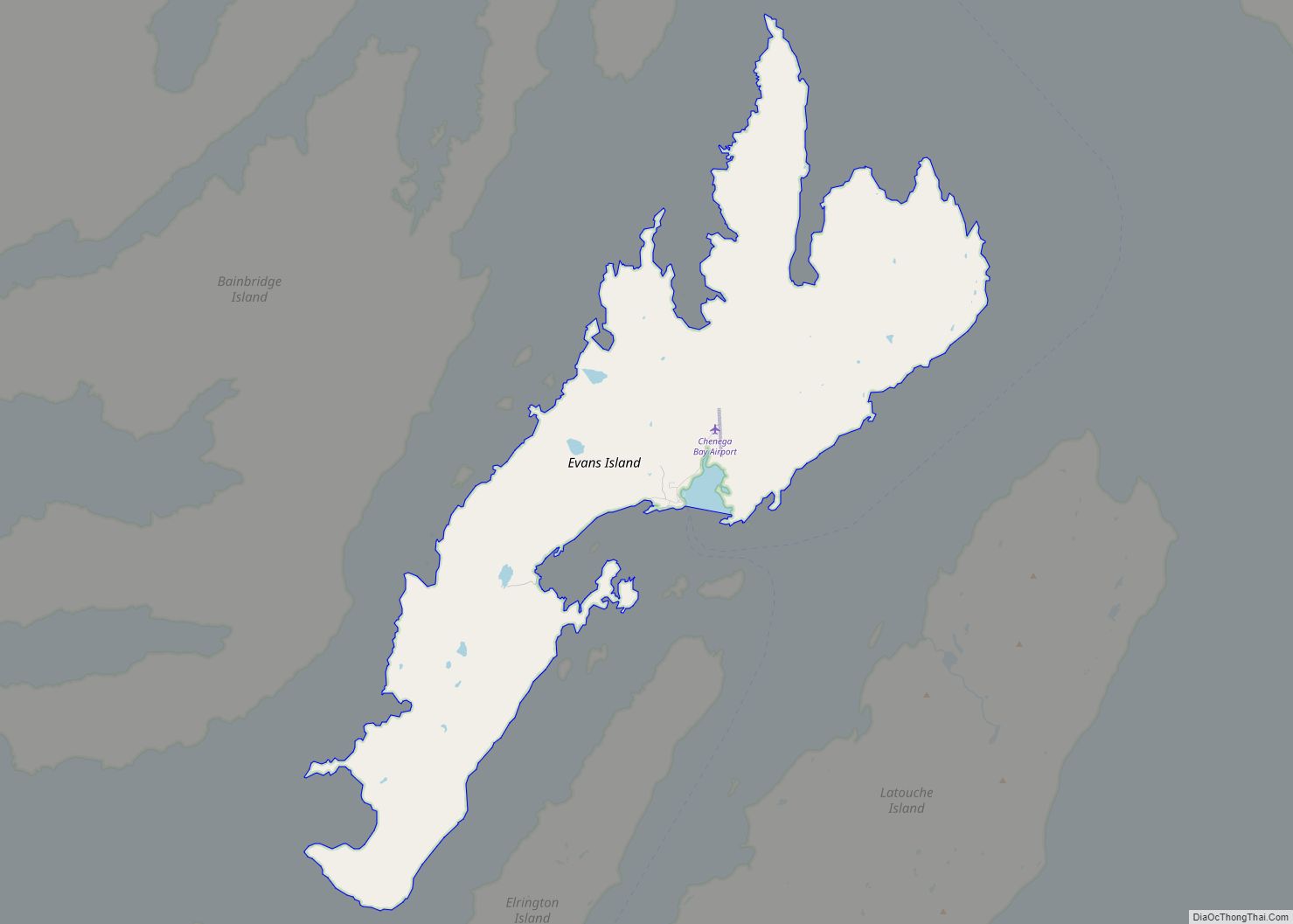
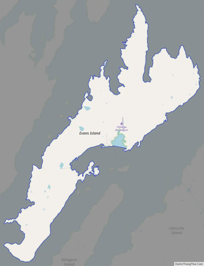
Chenega (/tʃɪˈniːɡə/; Alutiiq: Caniqaq) is a census-designated place (CDP) on Evans Island in the Chugach Census Area in the U.S. state of Alaska. Located in Prince William Sound, the CDP consists of the Chugach Alutiiq village of Chenega Bay, which was established only after the Good Friday earthquake destroyed the original community on Chenega Island to the north. As of the 2020 census, the population of the CDP was 59, largely Alaska Natives; as of 2021, the population of Chenega is estimated at 49. Chenega Bay is in the Chugach School District and has one school, Chenega Bay Community School, serving approximately 16 students from preschool through high school.
| Name: | Chenega CDP |
|---|---|
| LSAD Code: | 57 |
| LSAD Description: | CDP (suffix) |
| State: | Alaska |
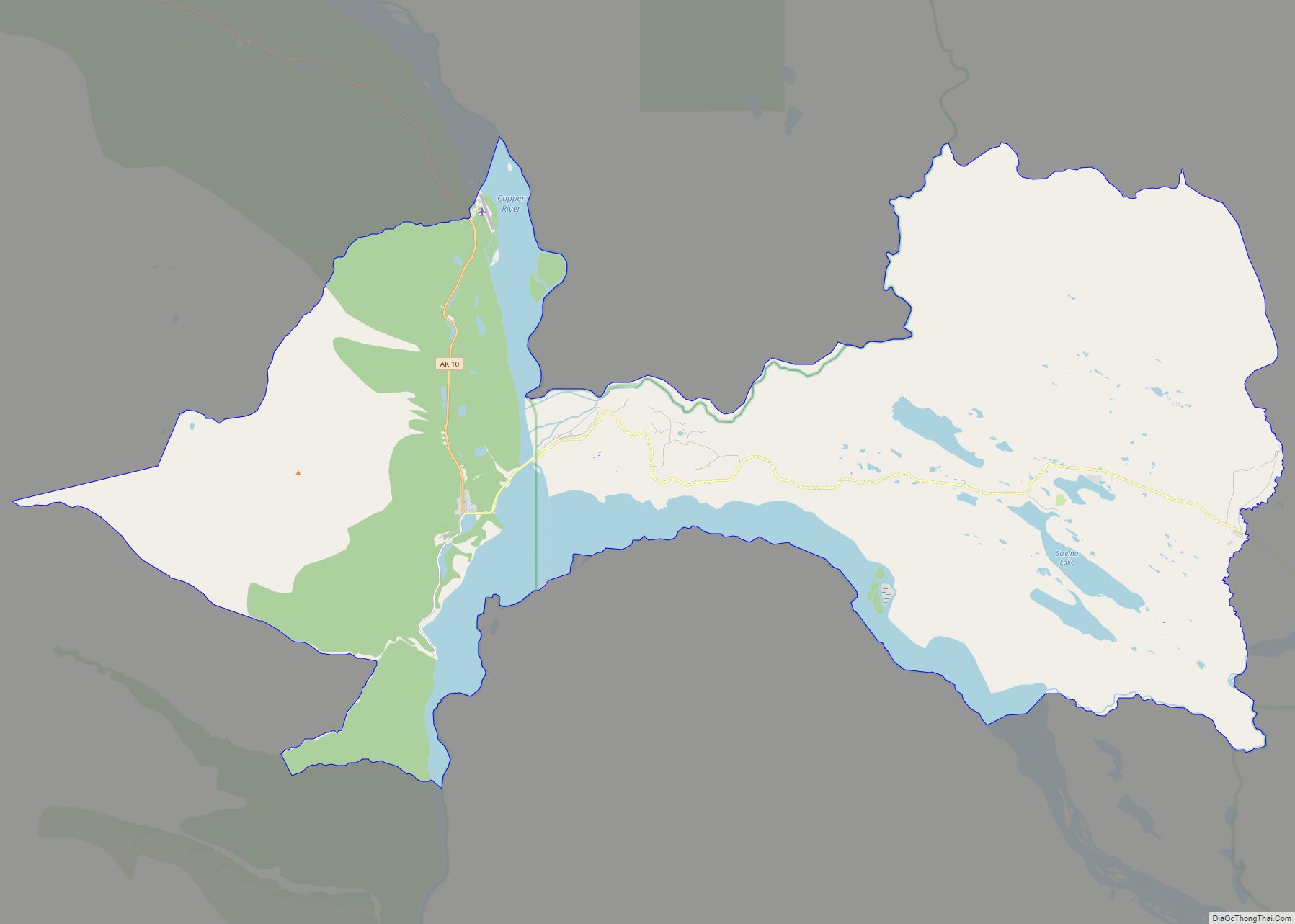
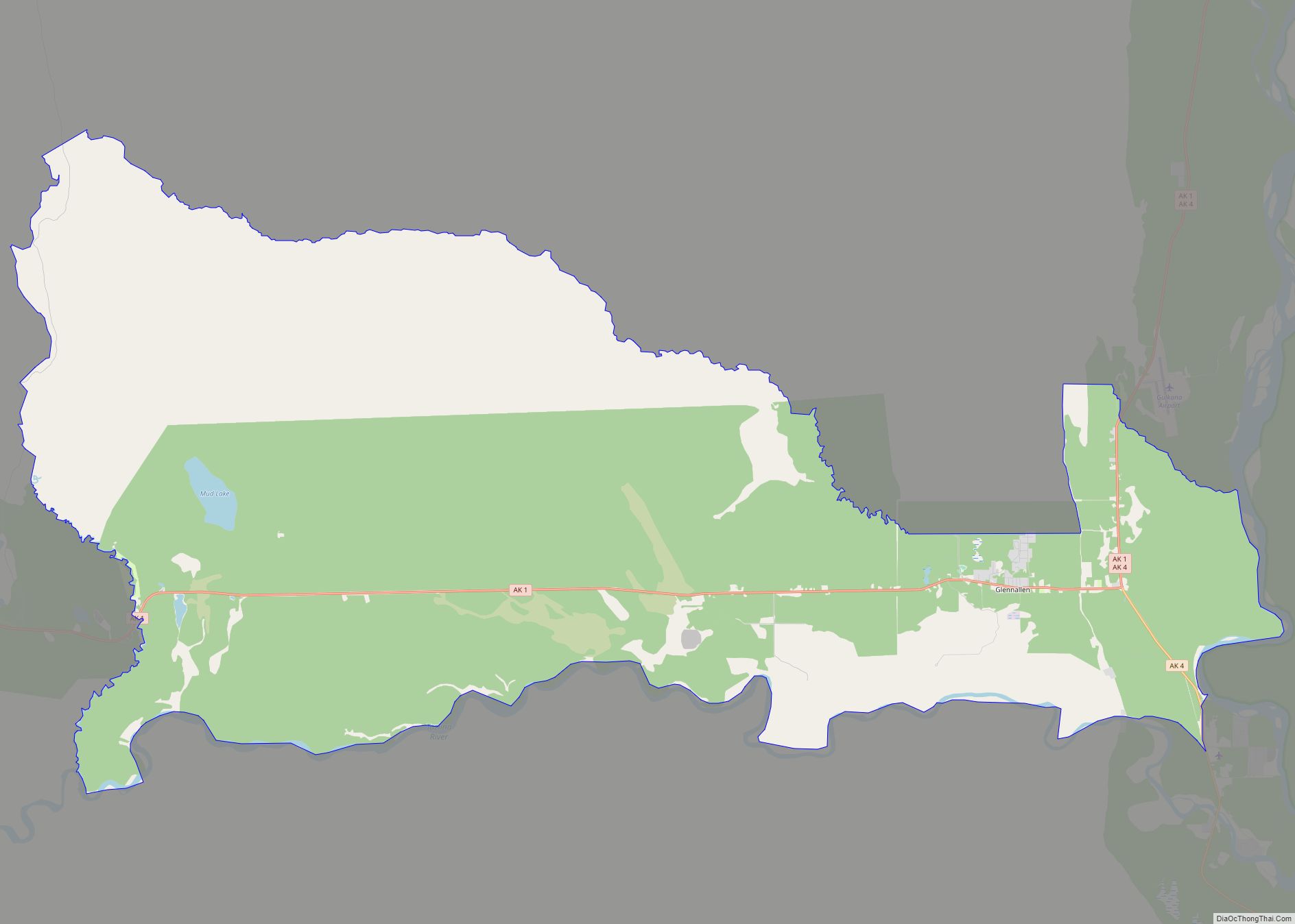
| County: | Valdez-Cordova Census Area |
| Total Area: | 29.56 sq mi (76.57 km²) |
| Land Area: | 29.29 sq mi (75.85 km²) |
| Water Area: | 0.28 sq mi (0.72 km²) |
| Total Population: | 59 |
| Population Density: | 2.01/sq mi (0.78/km²) |
| Area code: | 907 |
| FIPS code: | 0212970 |
Online Interactive Map
Click on ![]() to view map in "full screen" mode.
to view map in "full screen" mode.
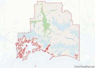
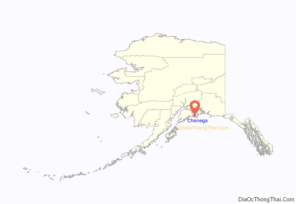
Chenega location map. Where is Chenega CDP?
History
Original Chenega
The original village of Chenega, located on Chenega Island, was inhabited by the Chenega tribe, a subgroup of the Chugach Alutiiq. The name Chenega derives from “Beneath the Mountain”. The village was a fishing village that was settled before Russian arrival in the area. A post office operated there from 1946 until the destruction of the town in 1964.
Destruction of Chenega
The original village of Chenega was destroyed in 1964 by a tsunami from the Good Friday earthquake, which killed 26 residents, a third of the 68 people who lived there at the time, and leveled all the buildings in the town except for the school and a singular house. Immediately following the tsunami, survivors were taken to Cordova, and the Bureau of Indian Affairs later permanently resettled them at Tatitlek.
Construction of Chenega Bay
After the Alaska Native Claims Settlement Act was passed, former residents of Chenega formed the Chenega Corporation, which acquired the right to select 76,093 acres of land near the site of the old Chenega Village Township. In 1977, following research into the landscape and the needs of villagers, a new town location was chosen at Crab Bay on Evans Island. Following the acquisition of funding for infrastructure, the new village, named Chenaga Bay, was first occupied in 1984.
Former and current Chenega residents gathered each Good Friday to remember the dead of Chenega. On the 25th Good Friday after the earthquake, in 1989, the oil tanker Exxon Valdez ran aground in Prince William Sound, causing an oil spill that again devastated Chenega and other places around the area economically.
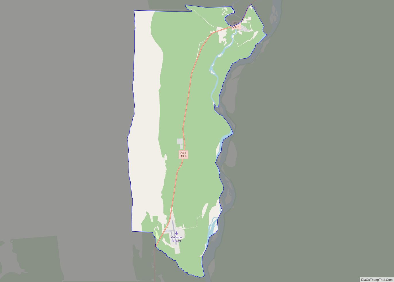
Chenega Road Map
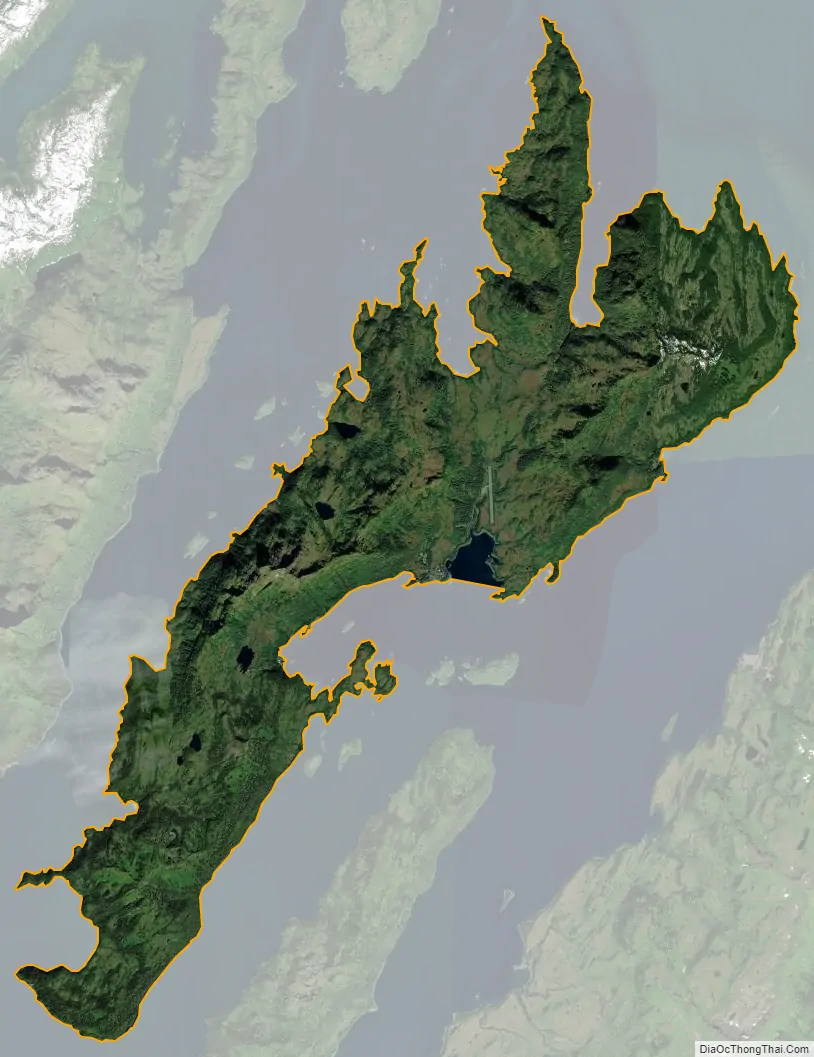
Chenega city Satellite Map
Geography
Chenega is located at 60°3′59″N 148°0′40″W / 60.06639°N 148.01111°W / 60.06639; -148.01111 (60.066327, -148.010991). According to the United States Census Bureau, the CDP has a total area of 29.1 square miles (75 km), of which, 28.8 square miles (75 km) of it is land and 0.3 square miles (0.78 km) of it (1.17%) is water. The village location is isolated, only accessible by boat or by plane.
See also
Map of Alaska State and its subdivision:- Aleutians East
- Aleutians West
- Anchorage
- Bethel
- Bristol Bay
- Denali
- Dillingham
- Fairbanks North Star
- Haines
- Juneau
- Kenai Peninsula
- Ketchikan Gateway
- Kodiak Island
- Lake and Peninsula
- Matanuska-Susitna
- Nome
- North Slope
- Northwest Arctic
- Prince of Wales-Outer Ketchi
- Sitka
- Skagway-Yakutat-Angoon
- Southeast Fairbanks
- Valdez-Cordova
- Wade Hampton
- Wrangell-Petersburg
- Yukon-Koyukuk
- Alabama
- Alaska
- Arizona
- Arkansas
- California
- Colorado
- Connecticut
- Delaware
- District of Columbia
- Florida
- Georgia
- Hawaii
- Idaho
- Illinois
- Indiana
- Iowa
- Kansas
- Kentucky
- Louisiana
- Maine
- Maryland
- Massachusetts
- Michigan
- Minnesota
- Mississippi
- Missouri
- Montana
- Nebraska
- Nevada
- New Hampshire
- New Jersey
- New Mexico
- New York
- North Carolina
- North Dakota
- Ohio
- Oklahoma
- Oregon
- Pennsylvania
- Rhode Island
- South Carolina
- South Dakota
- Tennessee
- Texas
- Utah
- Vermont
- Virginia
- Washington
- West Virginia
- Wisconsin
- Wyoming