Cantwell (Yidateni Na’ in Ahtna Athabascan) is a census-designated place (CDP) in Denali Borough, Alaska, United States. As of the 2020 census, the population of the CDP was 200.
Cantwell is the western terminus of the Denali Highway. Once an Alaska Railroad flag stop at the junction with the Denali Highway, it was founded off the Parks Highway.
There are Aurora viewing yurts available on a cliff overlook in town.
| Name: | Cantwell CDP |
|---|---|
| LSAD Code: | 57 |
| LSAD Description: | CDP (suffix) |
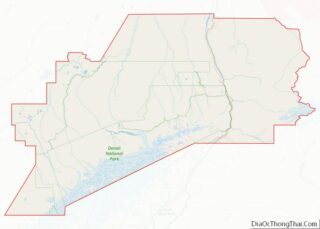
| State: | Alaska |
| County: | Denali Borough |
| Elevation: | 2,190 ft (670 m) |
| Total Area: | 119.37 sq mi (309.16 km²) |
| Land Area: | 119.02 sq mi (308.26 km²) |
| Water Area: | 0.35 sq mi (0.91 km²) |
| Total Population: | 200 |
| Population Density: | 1.68/sq mi (0.65/km²) |
| ZIP code: | 99729 |
| Area code: | 907 |
| FIPS code: | 0210150 |
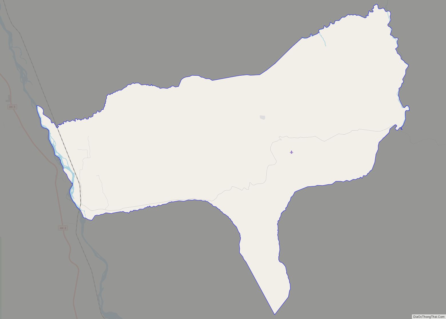
Online Interactive Map
Click on ![]() to view map in "full screen" mode.
to view map in "full screen" mode.
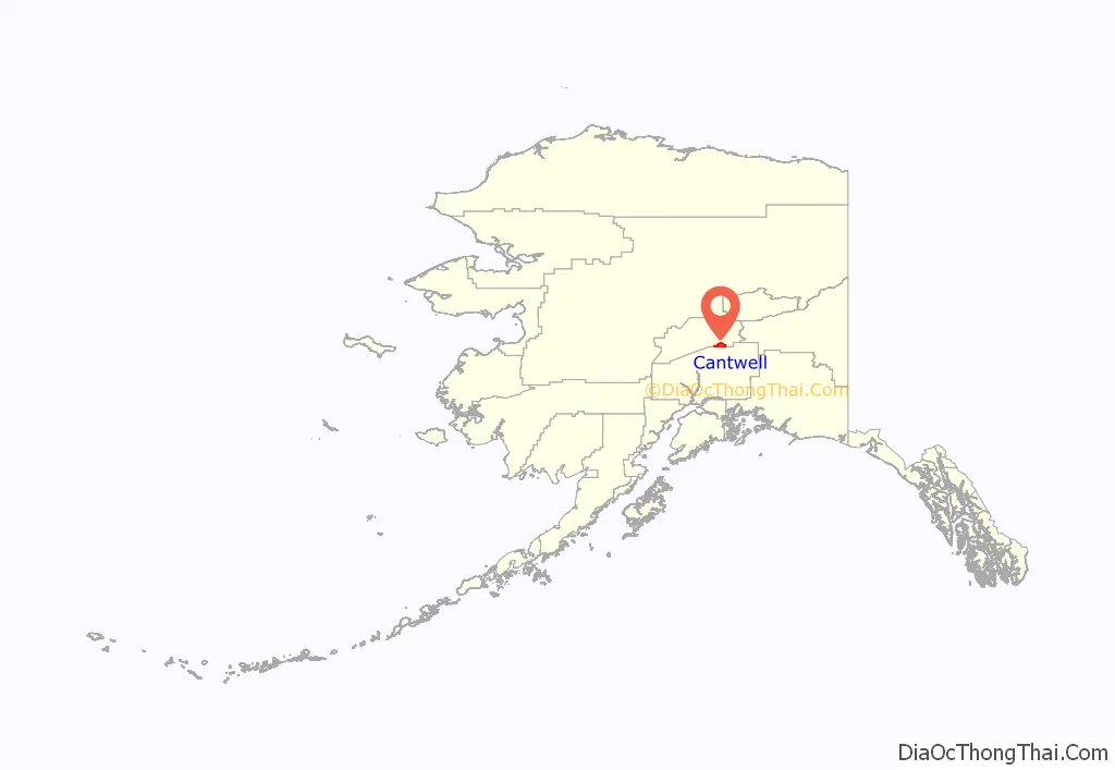
Cantwell location map. Where is Cantwell CDP?
History
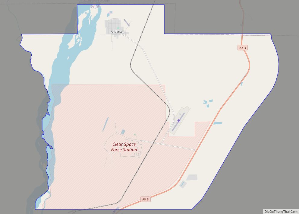
Cantwell is named after Lieutenant J. C. Cantwell, military explorer and commander of the revenue steamer Corwin on the Yukon River, 1898-1900. Prior to the settlement, the only inhabitants of the Cantwell area were nomadic Tanana Indians and Athabascan Native Alaskans who hunted and fished. In their language they named Cantwell Yede’teni’na. The town began as a flag stop on the Alaska Railroad. This flagstop supplied the Valdez Creek mining area, which had the name “Denali” for the Valdez Creek community. Many Indians from the village of Tyone came to work at Valdez Creek and later lived out their lives in the Cantwell area. Many Tyones are buried in the old Cantwell graveyard, next to the railroad tracks. Oley Nicklie, a Native Alaskan, sought work with the railroad after fur prices dropped. He and his two brothers then founded part of the settlement. Cantwell is 20 miles away from a giant abandoned igloo shaped hotel, which is not made out of ice.
Cantwell served as a partial filming location for the Lure of the Yukon during the 1920s, and for the 2007 movie Into the Wild.
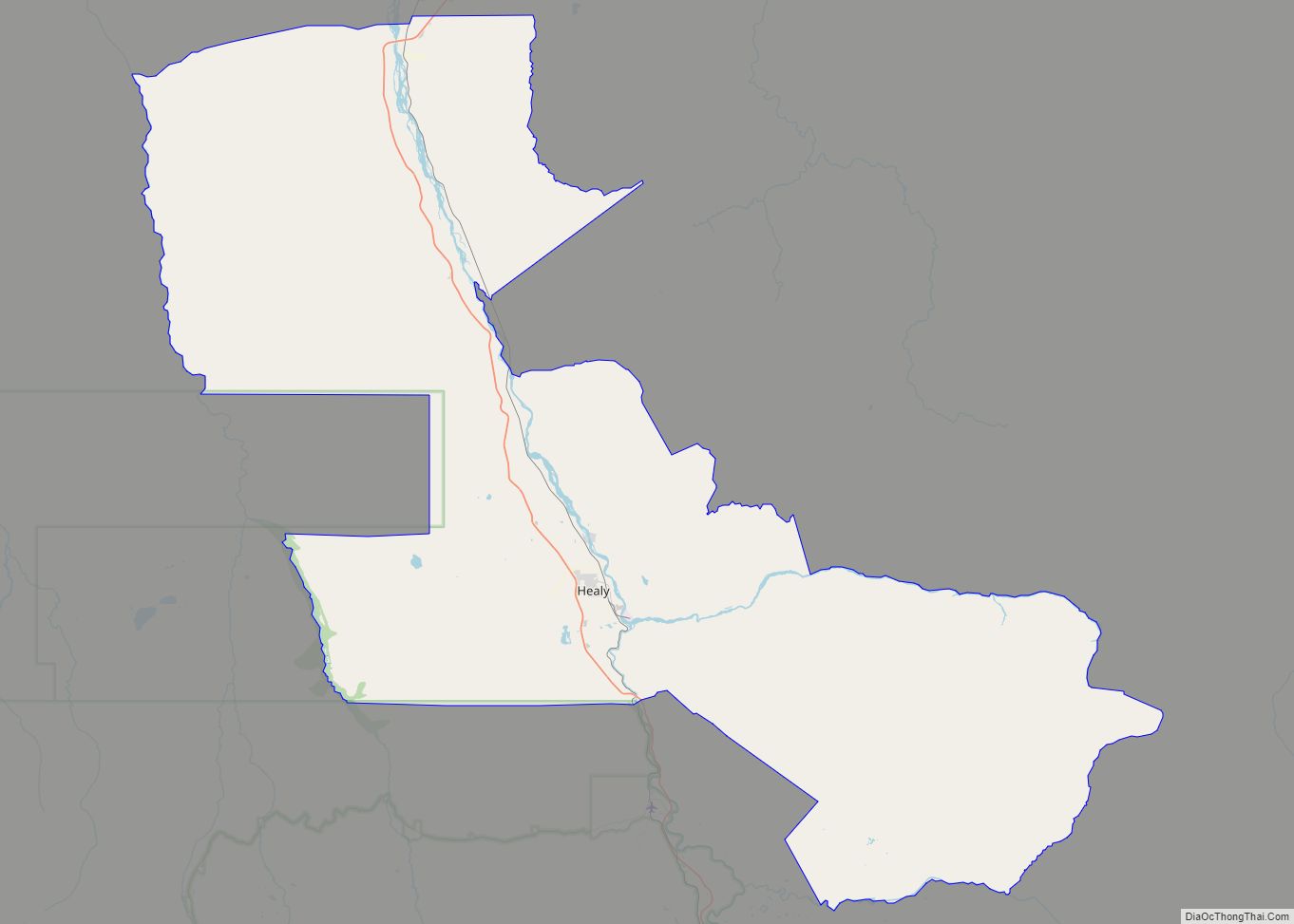
Cantwell Road Map

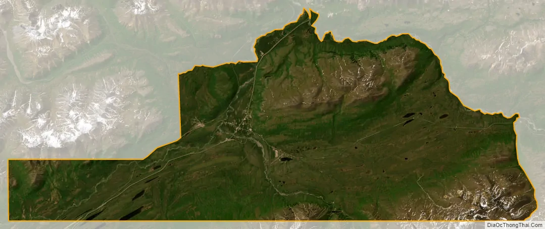
Cantwell city Satellite Map
Geography
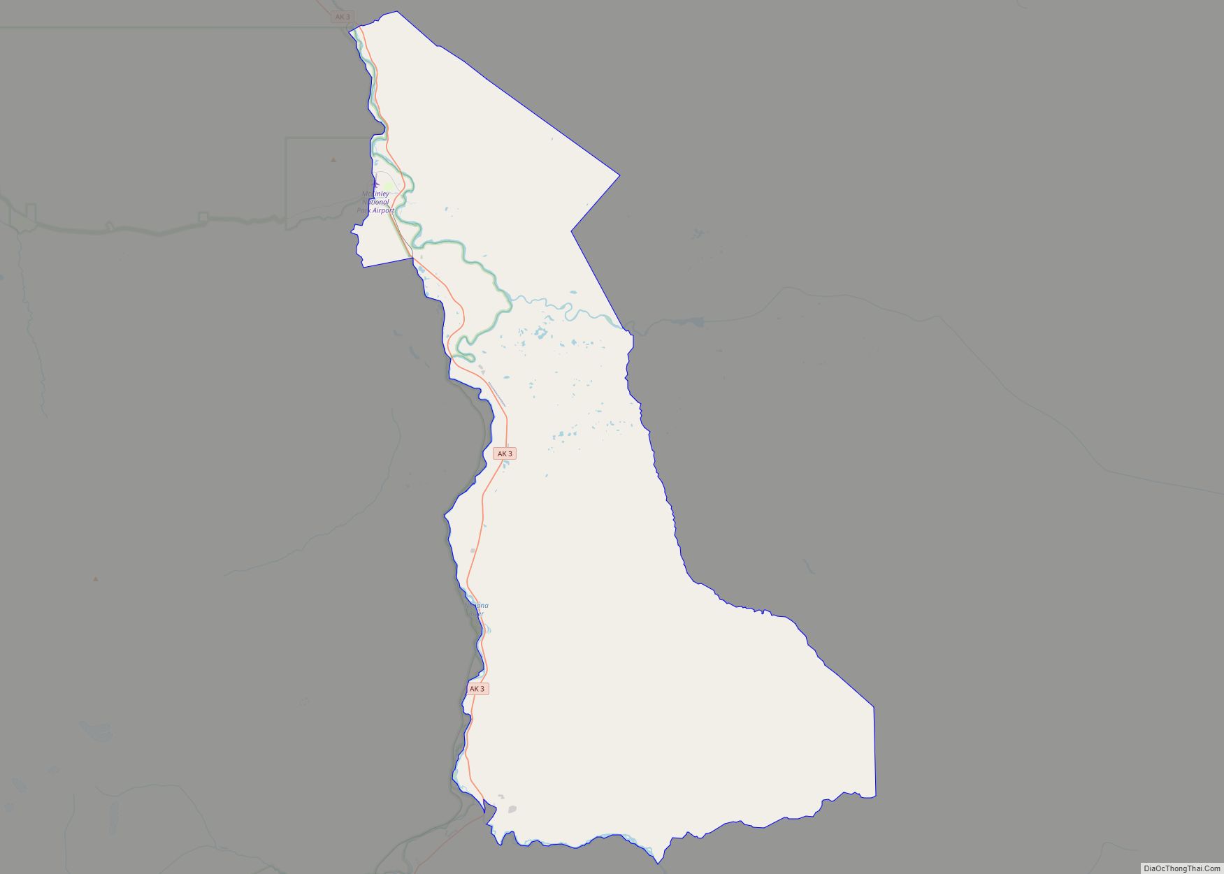
Cantwell is located in the southern part of Denali Borough at 63°23′17″N 148°54′1″W / 63.38806°N 148.90028°W / 63.38806; -148.90028 (63.388000, -148.900204). It is situated at the north end of Broad Pass, along Cantwell Creek and the Jack River, tributaries of the north-flowing Nenana River. Alaska Route 3, the George Parks Highway, passes through Cantwell: Anchorage is 212 miles (341 km) to the south, and Fairbanks is 150 miles (240 km) to the north.
According to the United States Census Bureau, the Cantwell CDP has a total area of 117.6 square miles (304.7 km), of which 117.3 square miles (303.8 km) is land and 0.35 square miles (0.9 km), or 0.29%, is water.
See also
Map of Alaska State and its subdivision:- Aleutians East
- Aleutians West
- Anchorage
- Bethel
- Bristol Bay
- Denali
- Dillingham
- Fairbanks North Star
- Haines
- Juneau
- Kenai Peninsula
- Ketchikan Gateway
- Kodiak Island
- Lake and Peninsula
- Matanuska-Susitna
- Nome
- North Slope
- Northwest Arctic
- Prince of Wales-Outer Ketchi
- Sitka
- Skagway-Yakutat-Angoon
- Southeast Fairbanks
- Valdez-Cordova
- Wade Hampton
- Wrangell-Petersburg
- Yukon-Koyukuk
- Alabama
- Alaska
- Arizona
- Arkansas
- California
- Colorado
- Connecticut
- Delaware
- District of Columbia
- Florida
- Georgia
- Hawaii
- Idaho
- Illinois
- Indiana
- Iowa
- Kansas
- Kentucky
- Louisiana
- Maine
- Maryland
- Massachusetts
- Michigan
- Minnesota
- Mississippi
- Missouri
- Montana
- Nebraska
- Nevada
- New Hampshire
- New Jersey
- New Mexico
- New York
- North Carolina
- North Dakota
- Ohio
- Oklahoma
- Oregon
- Pennsylvania
- Rhode Island
- South Carolina
- South Dakota
- Tennessee
- Texas
- Utah
- Vermont
- Virginia
- Washington
- West Virginia
- Wisconsin
- Wyoming