Map of McCrory city

Map of McCrory city

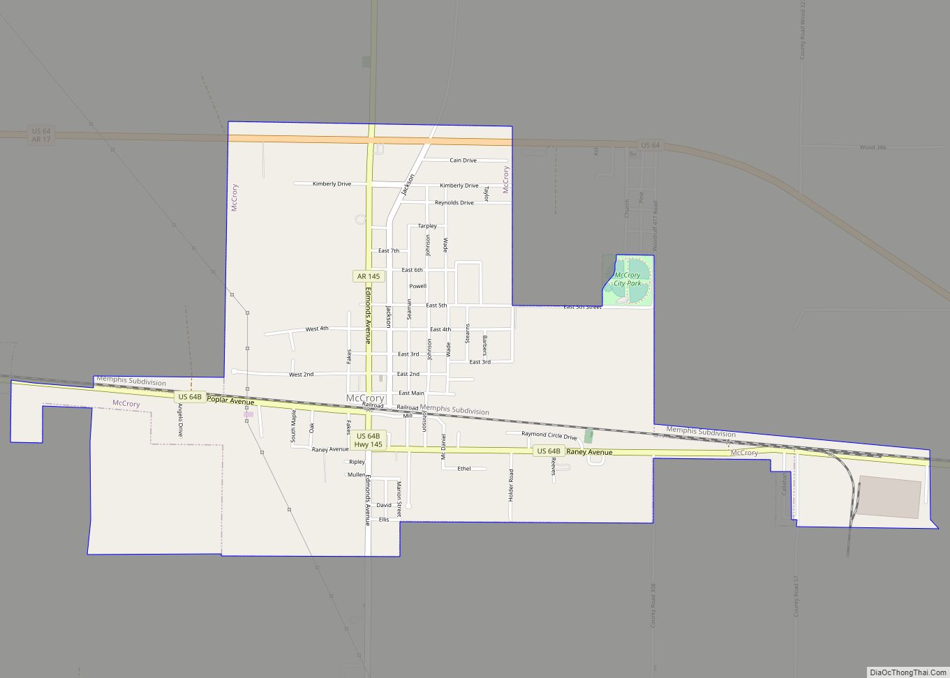
McCrory is a city in Woodruff County, Arkansas, United States. The population was 1,583 at the 2020 census. The McCrory Commercial Historic District, the McCrory Waterworks, and the Dr. John William Morris Clinic are all listed on the National Register of Historic Places listings in Woodruff County, Arkansas. McCrory city overview: Name: McCrory city LSAD … Read more

Map of McCaskill town

Map of McCaskill town

McCaskill is a town in Hempstead County, Arkansas, United States. The population was 96 at the 2010 census. It is part of the Hope Micropolitan Statistical Area. McCaskill town overview: Name: McCaskill town LSAD Code: 43 LSAD Description: town (suffix) State: Arkansas County: Hempstead County Elevation: 446 ft (136 m) Total Area: 0.74 sq mi (1.92 km²) Land Area: 0.74 sq mi … Read more

Map of McNeil city

Map of McNeil city

McNeil is a town in Columbia County, Arkansas, United States. The population was 516 at the 2010 census, down from 662 in 2000. The community was named after William B. McNeil, founder of the College Hill Academy. McNeil city overview: Name: McNeil city LSAD Code: 25 LSAD Description: city (suffix) State: Arkansas County: Columbia County … Read more

Map of McNab town

Map of McNab town

McNab is a town in Hempstead County, Arkansas, United States. The population was 68 at the 2010 census, up from 37 in 2000. It is part of the Hope Micropolitan Statistical Area. McNab town overview: Name: McNab town LSAD Code: 43 LSAD Description: town (suffix) State: Arkansas County: Hempstead County Elevation: 318 ft (97 m) Total Area: … Read more

Map of McGehee city

Map of McGehee city

McGehee /məˈɡiː/ mə-GHEE is a city in Desha County, Arkansas, United States. The population was 4,219 at the 2010 census. McGehee city overview: Name: McGehee city LSAD Code: 25 LSAD Description: city (suffix) State: Arkansas County: Desha County Elevation: 144 ft (44 m) Total Area: 6.71 sq mi (17.37 km²) Land Area: 6.71 sq mi (17.37 km²) Water Area: 0.00 sq mi (0.00 km²) Total Population: … Read more

Map of Mena city

Map of Mena city

Mena (/ˈmiːnə/ MEE-nə) is a city in Polk County, Arkansas, United States. It is also the county seat of Polk County. The population was 5,558 as of the 2020 census. Mena is included in the Ark-La-Tex socio-economic region. Surrounded by the Ouachita National Forest, Mena is a gateway to some of the most visited tourist … Read more

Map of Melbourne city

Map of Melbourne city, Arkansas

Melbourne is a city and county seat of Izard County, Arkansas, United States. The population was 1,848 at the 2010 census. It is home to the main campus of Ozarka College. Melbourne city overview: Name: Melbourne city LSAD Code: 25 LSAD Description: city (suffix) State: Arkansas County: Izard County Elevation: 653 ft (199 m) Total Area: 6.98 sq mi … Read more

Map of McRae city

Map of McRae city

McRae is a city in White County, Arkansas, United States. The population was 682 at the 2010 census, estimated by 2018 to have decreased to 663 residents. McRae city overview: Name: McRae city LSAD Code: 25 LSAD Description: city (suffix) State: Arkansas County: White County Elevation: 230 ft (70 m) Total Area: 0.68 sq mi (1.75 km²) Land Area: 0.67 sq mi … Read more

Map of Midway CDP, Arkansas

Map of Midway CDP, Arkansas

Midway is a census-designated place in Baxter County, Arkansas, United States. Midway is 5.5 miles (8.9 km) northwest of Mountain Home. Per the 2020 census, the population was 1,036. Midway has a post office with ZIP code 72651. Midway CDP overview: Name: Midway CDP LSAD Code: 57 LSAD Description: CDP (suffix) State: Arkansas County: Baxter County … Read more

Map of Midland city

Map of Midland town, Arkansas

Midland is a town in Sebastian County, Arkansas, United States. It is part of the Fort Smith, Arkansas–Oklahoma Metropolitan Statistical Area. The population was 325 at the 2010 census. Midland town overview: Name: Midland town LSAD Code: 43 LSAD Description: town (suffix) State: Arkansas County: Sebastian County Elevation: 545 ft (166 m) Total Area: 0.35 sq mi (0.91 km²) Land … Read more

Map of Menifee city

Map of Menifee town, Arkansas

Menifee is a town in Conway County, Arkansas, United States. The population was 302 at the 2010 census. Menifee town overview: Name: Menifee town LSAD Code: 43 LSAD Description: town (suffix) State: Arkansas County: Conway County Elevation: 318 ft (97 m) Total Area: 2.27 sq mi (5.89 km²) Land Area: 2.27 sq mi (5.87 km²) Water Area: 0.01 sq mi (0.02 km²) Total Population: 274 Population … Read more

Map of Mitchellville city

Map of Mitchellville city, Arkansas

Mitchellville is a city in Desha County, Arkansas, United States. The population was 360 at the 2010 census. Mitchellville city overview: Name: Mitchellville city LSAD Code: 25 LSAD Description: city (suffix) State: Arkansas County: Desha County Elevation: 161 ft (49 m) Total Area: 0.12 sq mi (0.31 km²) Land Area: 0.12 sq mi (0.31 km²) Water Area: 0.00 sq mi (0.00 km²) Total Population: 293 Population … Read more