Mena (/ˈmiːnə/ MEE-nə) is a city in Polk County, Arkansas, United States. It is also the county seat of Polk County. The population was 5,558 as of the 2020 census. Mena is included in the Ark-La-Tex socio-economic region. Surrounded by the Ouachita National Forest, Mena is a gateway to some of the most visited tourist attractions in Arkansas.
| Name: | Mena city |
|---|---|
| LSAD Code: | 25 |
| LSAD Description: | city (suffix) |
| State: | Arkansas |
| County: | Polk County |
| Elevation: | 1,171 ft (357 m) |
| Total Area: | 6.93 sq mi (17.96 km²) |
| Land Area: | 6.89 sq mi (17.84 km²) |
| Water Area: | 0.04 sq mi (0.11 km²) |
| Total Population: | 5,589 |
| Population Density: | 811.29/sq mi (313.26/km²) |
| ZIP code: | 71953 |
| Area code: | 479 |
| FIPS code: | 0545170 |
Online Interactive Map
Click on ![]() to view map in "full screen" mode.
to view map in "full screen" mode.
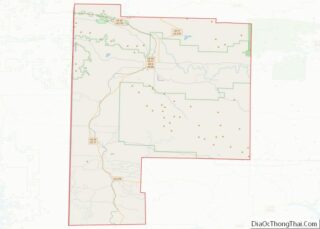
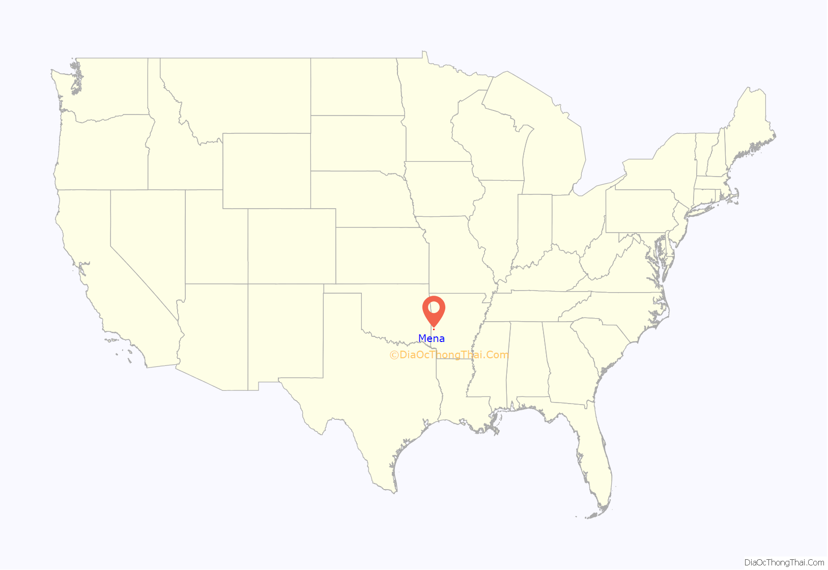
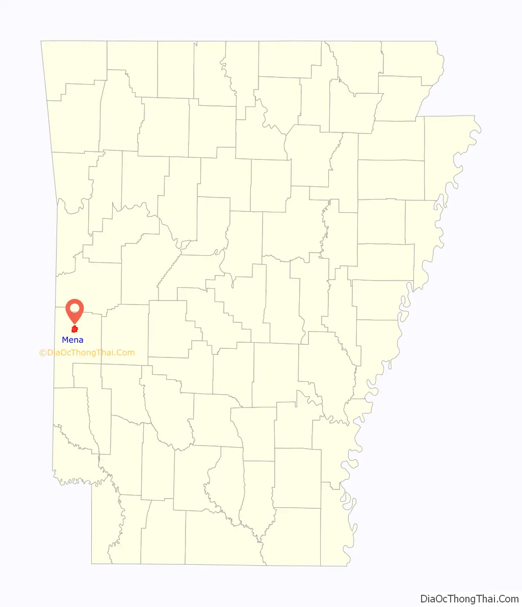
Mena location map. Where is Mena city?
History
Mena was founded by Arthur Edward Stilwell during the building of the Kansas City, Pittsburg and Gulf Railroad (now the Kansas City Southern), which stretched from Kansas City, Missouri to Port Arthur, Texas. Train service to Mena began in 1896.
Stilwell named the town in honor of Folmina Margaretha Janssen-De Goeijen, the wife of his friend and financier Jan De Goeijen, whom Mr. De Goeijen affectionately called Mena. Janssen Park in the center of Mena is also named for her.
Mena was settled in 1896 and incorporated on September 18 of that year. In 1897, the Bank of Mena was founded. The following year, the county seat was moved from nearby Dallas to Mena. Mena’s population had grown to 3,423 by 1900. The main industries of the area were timber, agriculture and mineral extraction, though it was advertised as a spa city located within a healthy environment. Stilwell donated land to the city in 1906, and a park and campground were constructed. In 1910, the railroad moved its shop facilities from Mena to Heavener, Oklahoma. This created a loss of eight hundred jobs. A private school in Mena, Hendrix Academy, closed in 1905.
There were attempts to intimidate early Black settlers into leaving between 1896 and 1898. In 1901, an African-American man accused of kicking a White girl, was removed from the jail, beaten, and hanged. Local citizens posted a reward for the murderers; there were no arrests. In the mid-1920s, the town advertised that it had no Negroes. In the early 1900s, the Black population declined, and Mena became known as a Sundown town. In 1920, the Mena Star advertised the city as 100 percent White. In 1937, there were no Blacks in Mena.
In 1911, a damaging tornado struck the town.
Recent history
In the 1950s, a government program to stockpile manganese led to the reopening of local mines closed since the 1890s. The program ended in 1959, and the mines again closed.
During the 1980s, drug smuggler Barry Seal moved his operations to the Mena Intermountain Municipal Airport, where he owned and operated many planes and helicopters, as well as advanced radar equipment. Seal also flew gun and drug smuggling missions between Mena and Nicaragua as part of a CIA scheme to support the Contras. Local law enforcement claimed that attempts to investigate the operation were blocked by the White House.
On April 9, 2009, a large and violent tornado devastated the town, killing three and injuring thirty. Many homes and businesses were damaged or destroyed. The Arkansas National Guard was deployed to the affected area. The tornado was rated as a high-end EF3, with winds near 165 mph (266 km/h), and damages estimated at $25 million.
Some of the businesses in the community are working to create a Downtown Arts District in Mena, anchored by the Mena Art Gallery at 607 Mena Street. The gallery is a non-profit organization which exhibits about 12 shows a year ranging from invitational to open shows featuring primarily local artists in a variety of media. There is also an annual Children’s Exhibit and a High School Exhibit.
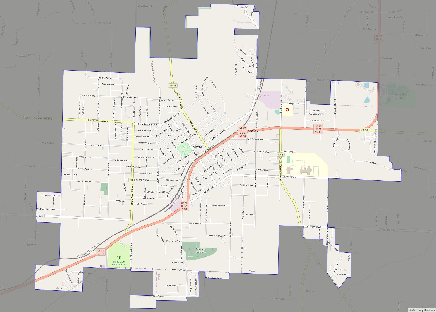
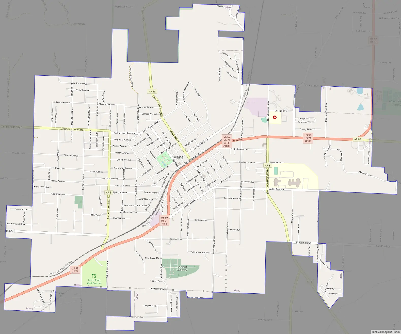
Mena Road Map
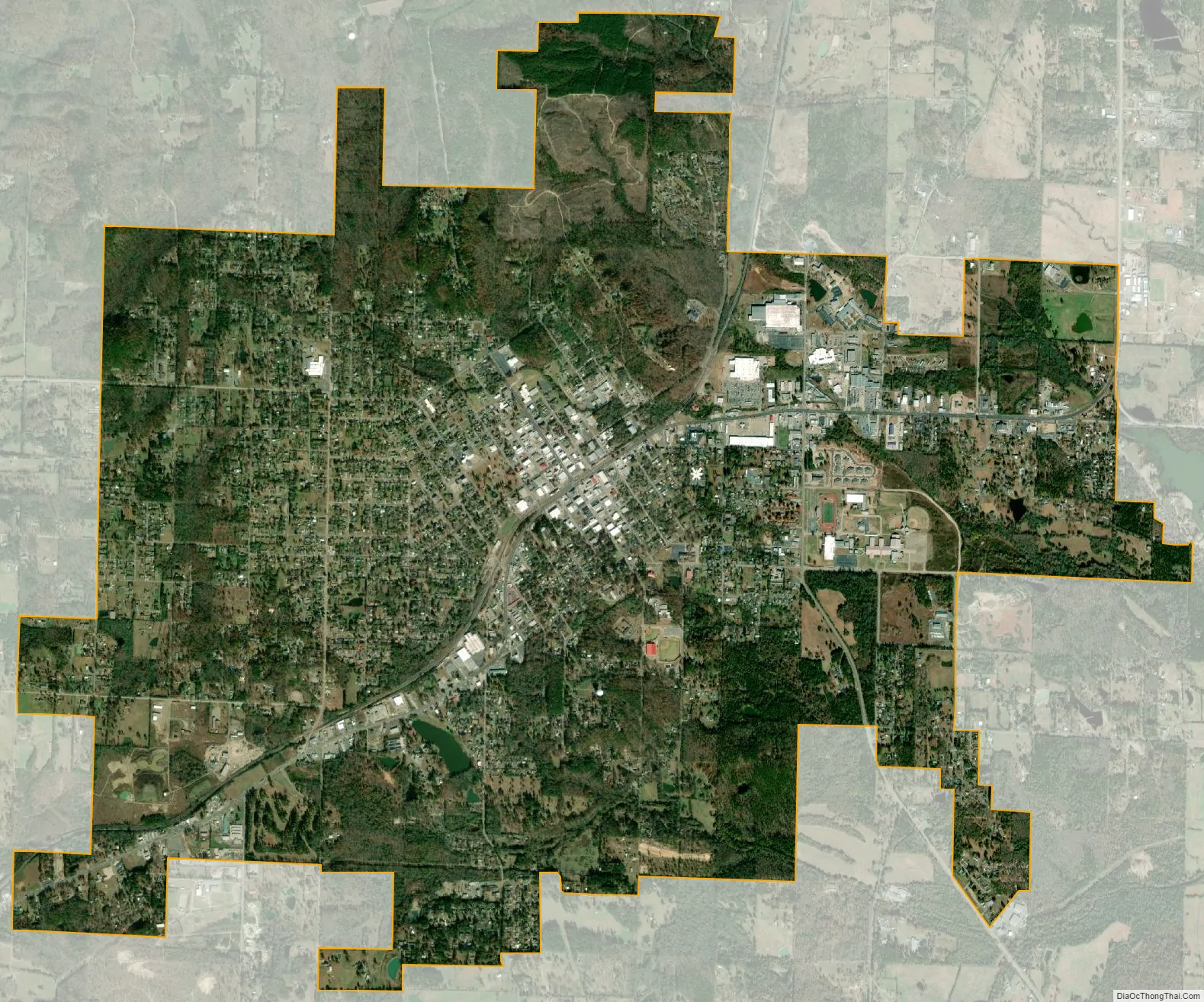
Mena city Satellite Map
Geography
According to the United States Census Bureau, the city has a total area of 6.8 square miles (18 km), of which 6.7 square miles (17 km) is land; 0.04 square miles (0.10 km) (0.44%) is water.
Climate
Mena’s climate is characterized by hot, humid summers and generally mild to cool winters, with precipitation occurring in all seasons. The Köppen Climate Classification subtype for this climate is “Cfa” (Humid Subtropical Climate).
See also
Map of Arkansas State and its subdivision:- Arkansas
- Ashley
- Baxter
- Benton
- Boone
- Bradley
- Calhoun
- Carroll
- Chicot
- Clark
- Clay
- Cleburne
- Cleveland
- Columbia
- Conway
- Craighead
- Crawford
- Crittenden
- Cross
- Dallas
- Desha
- Drew
- Faulkner
- Franklin
- Fulton
- Garland
- Grant
- Greene
- Hempstead
- Hot Spring
- Howard
- Independence
- Izard
- Jackson
- Jefferson
- Johnson
- Lafayette
- Lawrence
- Lee
- Lincoln
- Little River
- Logan
- Lonoke
- Madison
- Marion
- Miller
- Mississippi
- Monroe
- Montgomery
- Nevada
- Newton
- Ouachita
- Perry
- Phillips
- Pike
- Poinsett
- Polk
- Pope
- Prairie
- Pulaski
- Randolph
- Saint Francis
- Saline
- Scott
- Searcy
- Sebastian
- Sevier
- Sharp
- Stone
- Union
- Van Buren
- Washington
- White
- Woodruff
- Yell
- Alabama
- Alaska
- Arizona
- Arkansas
- California
- Colorado
- Connecticut
- Delaware
- District of Columbia
- Florida
- Georgia
- Hawaii
- Idaho
- Illinois
- Indiana
- Iowa
- Kansas
- Kentucky
- Louisiana
- Maine
- Maryland
- Massachusetts
- Michigan
- Minnesota
- Mississippi
- Missouri
- Montana
- Nebraska
- Nevada
- New Hampshire
- New Jersey
- New Mexico
- New York
- North Carolina
- North Dakota
- Ohio
- Oklahoma
- Oregon
- Pennsylvania
- Rhode Island
- South Carolina
- South Dakota
- Tennessee
- Texas
- Utah
- Vermont
- Virginia
- Washington
- West Virginia
- Wisconsin
- Wyoming