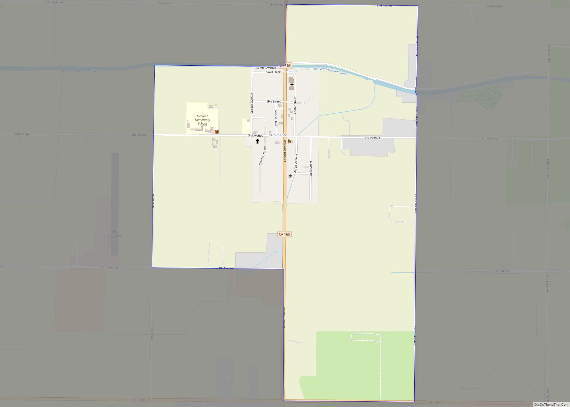
Map of Stratford CDP

Map of Stratford CDP, California

Stratford (formerly, Stratton) is a census-designated place (CDP) in Kings County, California, United States. Stratford is located 14 miles (23 km) southwest of Hanford, at an elevation of 203 feet (62 m). It is part of the Hanford–Lemoore Metropolitan Statistical Area. The population was 1,277 at the 2010 census, up from 1,264 at the 2000 census. Stratford … Read more

Map of Storrie CDP

Map of Storrie CDP

Storrie is a census-designated place (CDP) in Plumas County, California and about 20 miles northeast of Lake Oroville. As of the 2010 Census, the CDP had a population of four. Storrie CDP overview: Name: Storrie CDP LSAD Code: 57 LSAD Description: CDP (suffix) State: California County: Plumas County Elevation: 1,785 ft (544 m) Total Area: 0.084 sq mi (0.217 km²) … Read more

Map of Stonyford CDP

Map of Stonyford CDP

Stonyford (formerly, Stony Ford) is a census-designated place in Colusa County, California. It lies at an elevation of 1184 feet (361 m). Its zip code is 95979 and its area code is 530. Stonyford’s population was 149 at the 2010 census. Stonyford CDP overview: Name: Stonyford CDP LSAD Code: 57 LSAD Description: CDP (suffix) State: … Read more

Map of Strawberry CDP, California

Map of Strawberry CDP, California

Strawberry is an unincorporated community and a census-designated place (CDP) in Tuolumne County, California. Strawberry is located on California State Route 108 10 miles (16 km) northeast of Long Barn. Strawberry has a post office with ZIP code 95375, which opened in 1949. Strawberry sits at an elevation of 5,325 feet (1,623 m). The 2010 United States … Read more

Map of Strathmore CDP

Map of Strathmore CDP, California

Strathmore is a census-designated place (CDP) in Tulare County, California, United States. The population was 2,819 at the 2010 census, up from 2,584 at the 2000 census. Strathmore CDP overview: Name: Strathmore CDP LSAD Code: 57 LSAD Description: CDP (suffix) State: California County: Tulare County Elevation: 400 ft (122 m) Total Area: 1.419 sq mi (3.676 km²) Land Area: 1.406 sq mi … Read more

Map of Sugarloaf Mountain Park CDP

Map of Sugarloaf Mountain Park CDP

Sugarloaf Mountain Park is a census-designated place (CDP) in Tulare County, California. Sugarloaf Mountain Park sits at an elevation of 5,991 feet (1,826 m). The 2010 United States census reported Sugarloaf Mountain Park was uninhabited. Sugarloaf Mountain Park CDP overview: Name: Sugarloaf Mountain Park CDP LSAD Code: 57 LSAD Description: CDP (suffix) State: California County: Tulare … Read more

Map of Suisun City city

Map of Suisun City

Suisun City (/səˈsuːn/ sə-SOON; Wintun for “where the west wind blows”) is a city in Solano County, California, United States. The population was 29,518 at the 2020 census. Suisun City overview: Name: Suisun City LSAD Code: 25 LSAD Description: city (suffix) State: California County: Solano County Incorporated: October 9, 1868 Elevation: 7 ft (2 m) Total Area: … Read more

Map of Sugarloaf Village CDP

Map of Sugarloaf Village CDP

Sugarloaf Village is a census-designated place (CDP) in Tulare County, California. Sugarloaf Village sits at an elevation of 5,171 feet (1,576 m). The 2020 United States census reported Sugarloaf Village’s population was 7, down from 10 at the 2010 census. Sugarloaf Village CDP overview: Name: Sugarloaf Village CDP LSAD Code: 57 LSAD Description: CDP (suffix) State: … Read more

Map of Sugarloaf Saw Mill CDP

Map of Sugarloaf Saw Mill CDP

Sugarloaf Saw Mill is a census-designated place (CDP) in Tulare County, California. Sugarloaf Saw Mill sits at an elevation of 5,440 feet (1,660 m). The 2020 United States census reported Sugarloaf Saw Mill’s population was 14, down from 18 at the 2010 census. Sugarloaf Saw Mill CDP overview: Name: Sugarloaf Saw Mill CDP LSAD Code: 57 … Read more

Map of Sun Village CDP

Map of Sun Village CDP

Sun Village is an unincorporated community and census-designated place (CDP) in Los Angeles County, California, United States. It is in the eastern Antelope Valley at an elevation of 2,723 feet (830 m). The center of Sun Village may be considered to be Palmdale Boulevard and 87th Street East as noted at the Los Angeles County Assessors … Read more

Map of Summerland CDP

Map of Summerland CDP

Summerland is a census designated place (CDP) in Santa Barbara County, California. The population was 1,448 at the 2010 census, down from 1,545 at the 2000 census. The town includes a school and a Presbyterian Church. There are many small businesses. Summerland CDP overview: Name: Summerland CDP LSAD Code: 57 LSAD Description: CDP (suffix) State: … Read more

Map of Sultana CDP

Map of Sultana CDP

Sultana is a census-designated place in Tulare County, California, United States. Sultana is 2.5 miles (4.0 km) east of Dinuba. Sultana has a post office with ZIP code 93666. The population was 775 at the 2010 census. Sultana CDP overview: Name: Sultana CDP LSAD Code: 57 LSAD Description: CDP (suffix) State: California County: Tulare County Elevation: … Read more