Suisun City (/səˈsuːn/ sə-SOON; Wintun for “where the west wind blows”) is a city in Solano County, California, United States. The population was 29,518 at the 2020 census.
| Name: | Suisun City city |
|---|---|
| LSAD Code: | 25 |
| LSAD Description: | city (suffix) |
| State: | California |
| County: | Solano County |
| Incorporated: | October 9, 1868 |
| Elevation: | 7 ft (2 m) |
| Total Area: | 4.04 sq mi (10.47 km²) |
| Land Area: | 3.98 sq mi (10.31 km²) |
| Water Area: | 0.06 sq mi (0.16 km²) 1.39% |
| Total Population: | 28,111 |
| Population Density: | 7,453.02/sq mi (2,877.40/km²) |
| ZIP code: | 94534, 94585 |
| Area code: | 707 |
| FIPS code: | 0675630 |
| Website: | www.suisun.com |
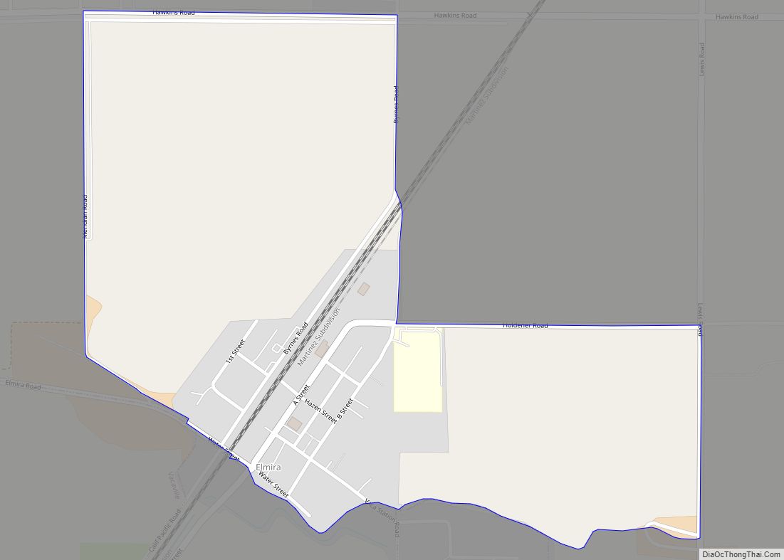
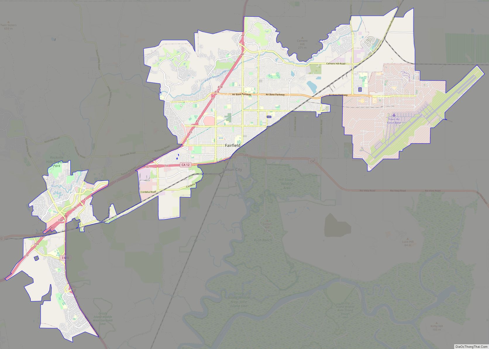
Online Interactive Map
Click on ![]() to view map in "full screen" mode.
to view map in "full screen" mode.
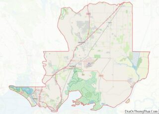
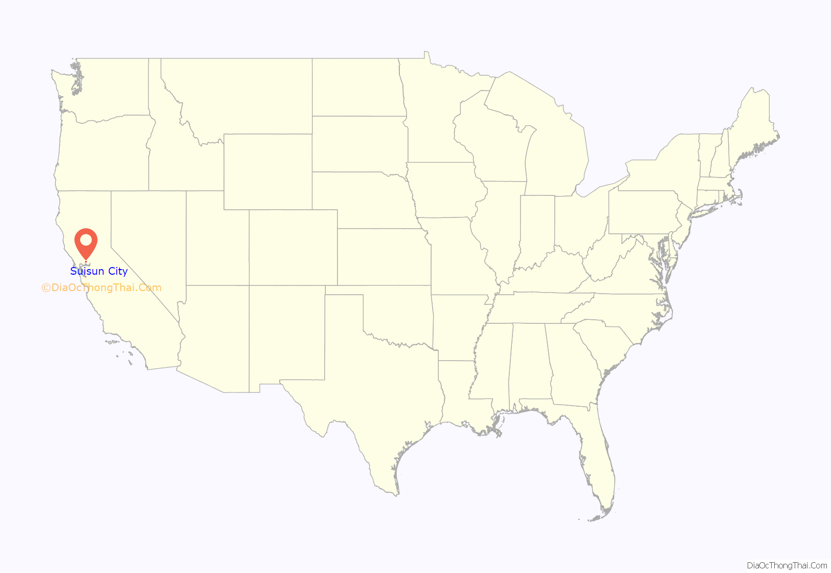
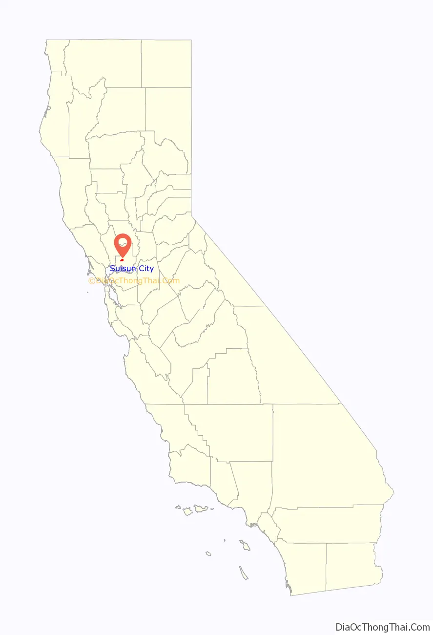
Suisun City location map. Where is Suisun City city?
History
Suisun City was established in the 1850s. Its location made it ideal for commerce and transportation during the California Gold Rush.
In 1868—1869, it was connected to the First transcontinental railroad at Sacramento via the California Pacific Railroad (Cal-P) main line, expanding the region’s reach across the United States. By 1879 Central Pacific Railroad owned the Cal-P mainline and rerouted the transcontinental overland route through the new branch from Port Costa, via the railroad ferry Solano to Benicia, across the Suisun Marsh to Suisun City, putting the region directly on the overland route from San Francisco to Ogden and beyond.
In the 1960s and 1970s, Suisun City experienced rapid growth as the San Francisco Bay Area’s suburban ring expanded to the formerly rural Solano County. Also in the 1960s, Interstate 80 was constructed two miles (3 km) outside the city, effectively moving commercial traffic away from railways and water conveyance.
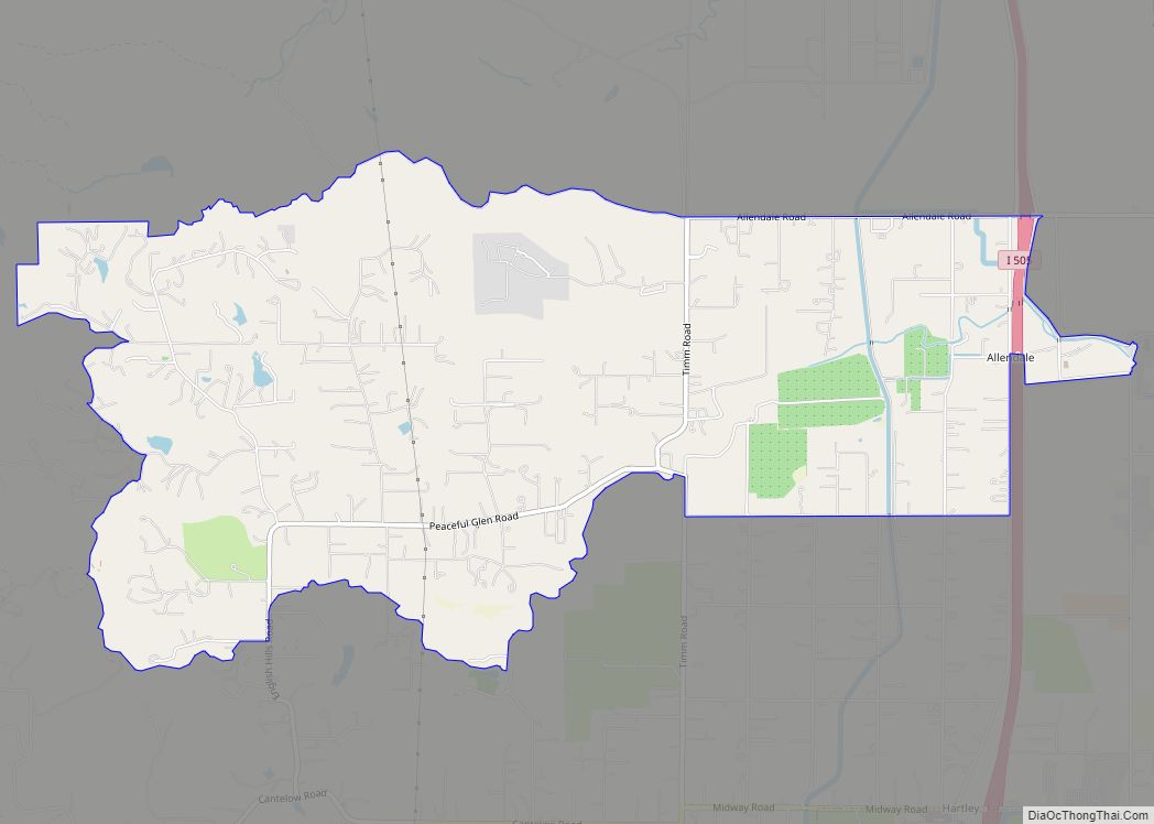
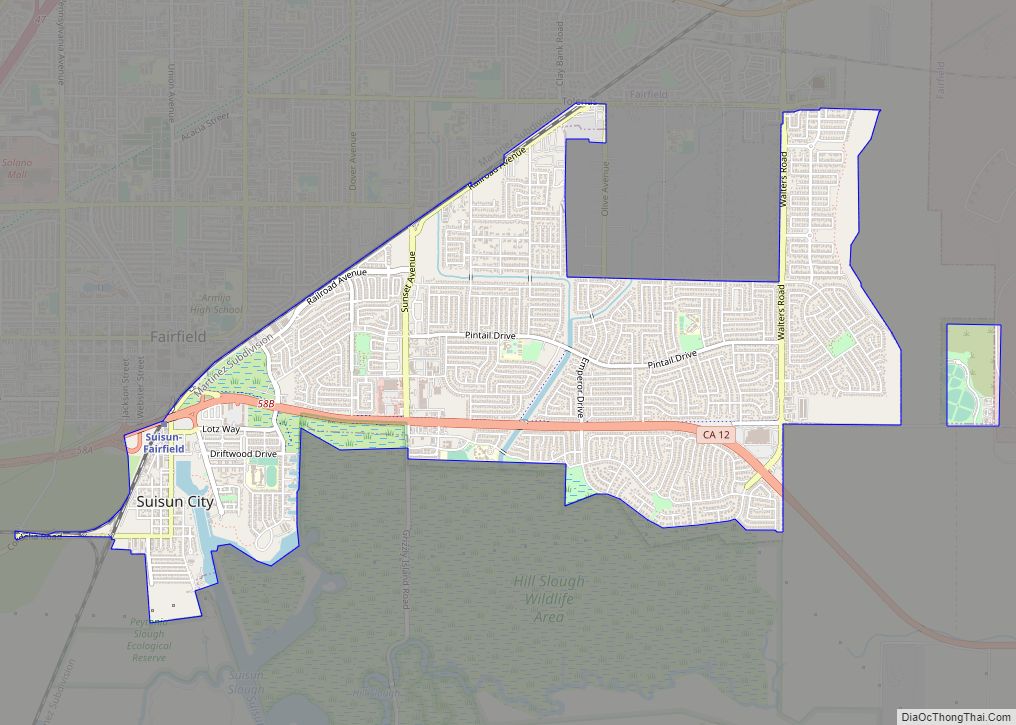
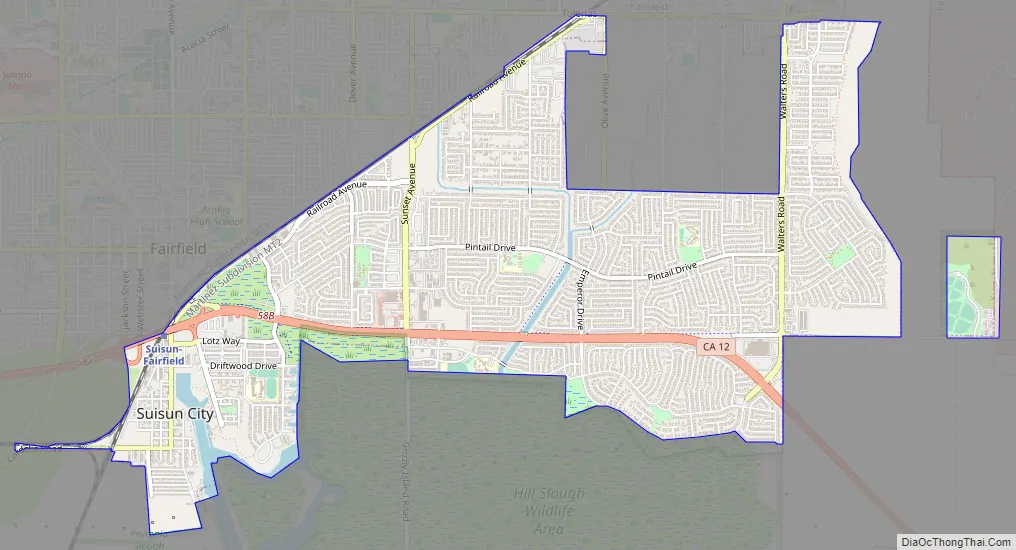
Suisun City Road Map
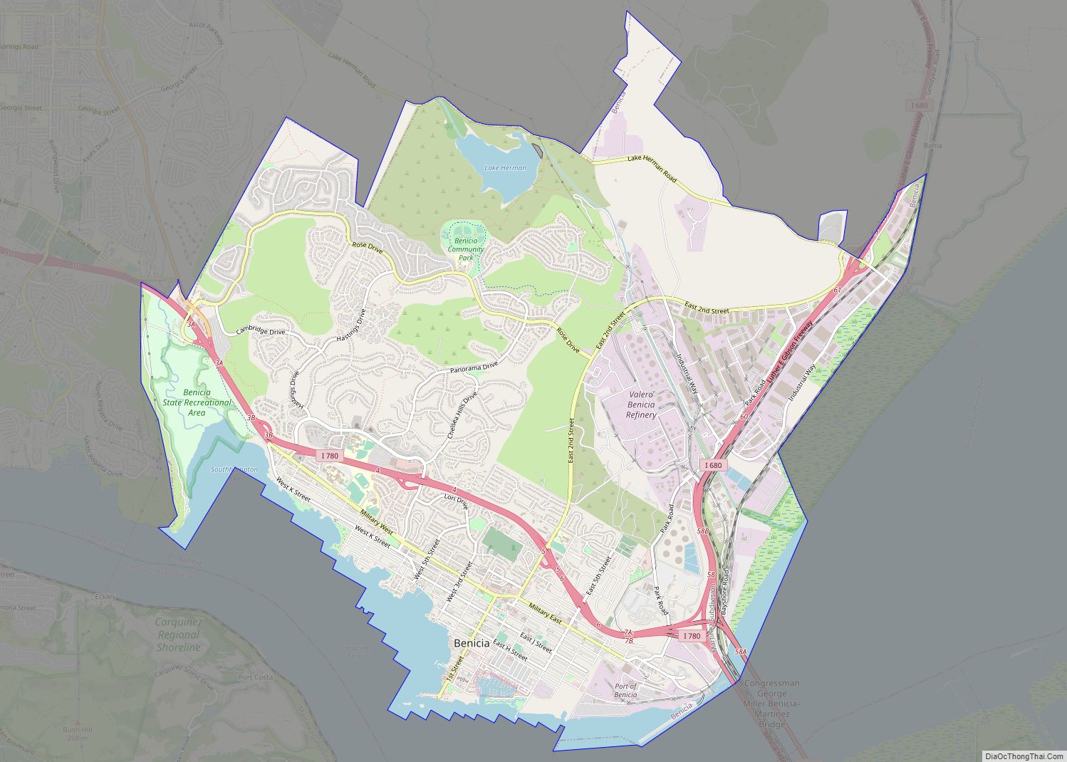
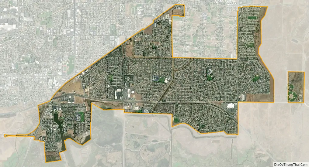
Suisun City city Satellite Map
Geography
Suisun City is located at 38°14′42″N 122°1′1″W / 38.24500°N 122.01694°W / 38.24500; -122.01694 (38.244863, -122.017048).
According to the United States Census Bureau, the city has a total area of 4.2 square miles (11 km), of which 4.1 square miles (11 km) is land and 0.06 square miles (0.16 km) (1.39%) is water.
The city is adjacent to Suisun Marsh, at 84,000 acres (34,000 ha) the largest contiguous estuarine marsh remaining on the west coast of North America.
Climate
According to the Köppen Climate Classification system, Suisun City has a warm-summer Mediterranean climate, abbreviated “Csb” on climate maps.
See also
Map of California State and its subdivision:- Alameda
- Alpine
- Amador
- Butte
- Calaveras
- Colusa
- Contra Costa
- Del Norte
- El Dorado
- Fresno
- Glenn
- Humboldt
- Imperial
- Inyo
- Kern
- Kings
- Lake
- Lassen
- Los Angeles
- Madera
- Marin
- Mariposa
- Mendocino
- Merced
- Modoc
- Mono
- Monterey
- Napa
- Nevada
- Orange
- Placer
- Plumas
- Riverside
- Sacramento
- San Benito
- San Bernardino
- San Diego
- San Francisco
- San Joaquin
- San Luis Obispo
- San Mateo
- Santa Barbara
- Santa Clara
- Santa Cruz
- Shasta
- Sierra
- Siskiyou
- Solano
- Sonoma
- Stanislaus
- Sutter
- Tehama
- Trinity
- Tulare
- Tuolumne
- Ventura
- Yolo
- Yuba
- Alabama
- Alaska
- Arizona
- Arkansas
- California
- Colorado
- Connecticut
- Delaware
- District of Columbia
- Florida
- Georgia
- Hawaii
- Idaho
- Illinois
- Indiana
- Iowa
- Kansas
- Kentucky
- Louisiana
- Maine
- Maryland
- Massachusetts
- Michigan
- Minnesota
- Mississippi
- Missouri
- Montana
- Nebraska
- Nevada
- New Hampshire
- New Jersey
- New Mexico
- New York
- North Carolina
- North Dakota
- Ohio
- Oklahoma
- Oregon
- Pennsylvania
- Rhode Island
- South Carolina
- South Dakota
- Tennessee
- Texas
- Utah
- Vermont
- Virginia
- Washington
- West Virginia
- Wisconsin
- Wyoming