Summerland is a census designated place (CDP) in Santa Barbara County, California. The population was 1,448 at the 2010 census, down from 1,545 at the 2000 census.
The town includes a school and a Presbyterian Church. There are many small businesses.
| Name: | Summerland CDP |
|---|---|
| LSAD Code: | 57 |
| LSAD Description: | CDP (suffix) |
| State: | California |
| County: | Santa Barbara County |
| Elevation: | 121 ft (37 m) |
| Total Area: | 1.990 sq mi (5.152 km²) |
| Land Area: | 1.983 sq mi (5.135 km²) |
| Water Area: | 0.007 sq mi (0.017 km²) 0.33% |
| Total Population: | 1,448 |
| Population Density: | 730/sq mi (280/km²) |
| ZIP code: | 93067 |
| Area code: | 805 |
| FIPS code: | 0675714 |
| GNISfeature ID: | 1656637 |
Online Interactive Map
Click on ![]() to view map in "full screen" mode.
to view map in "full screen" mode.
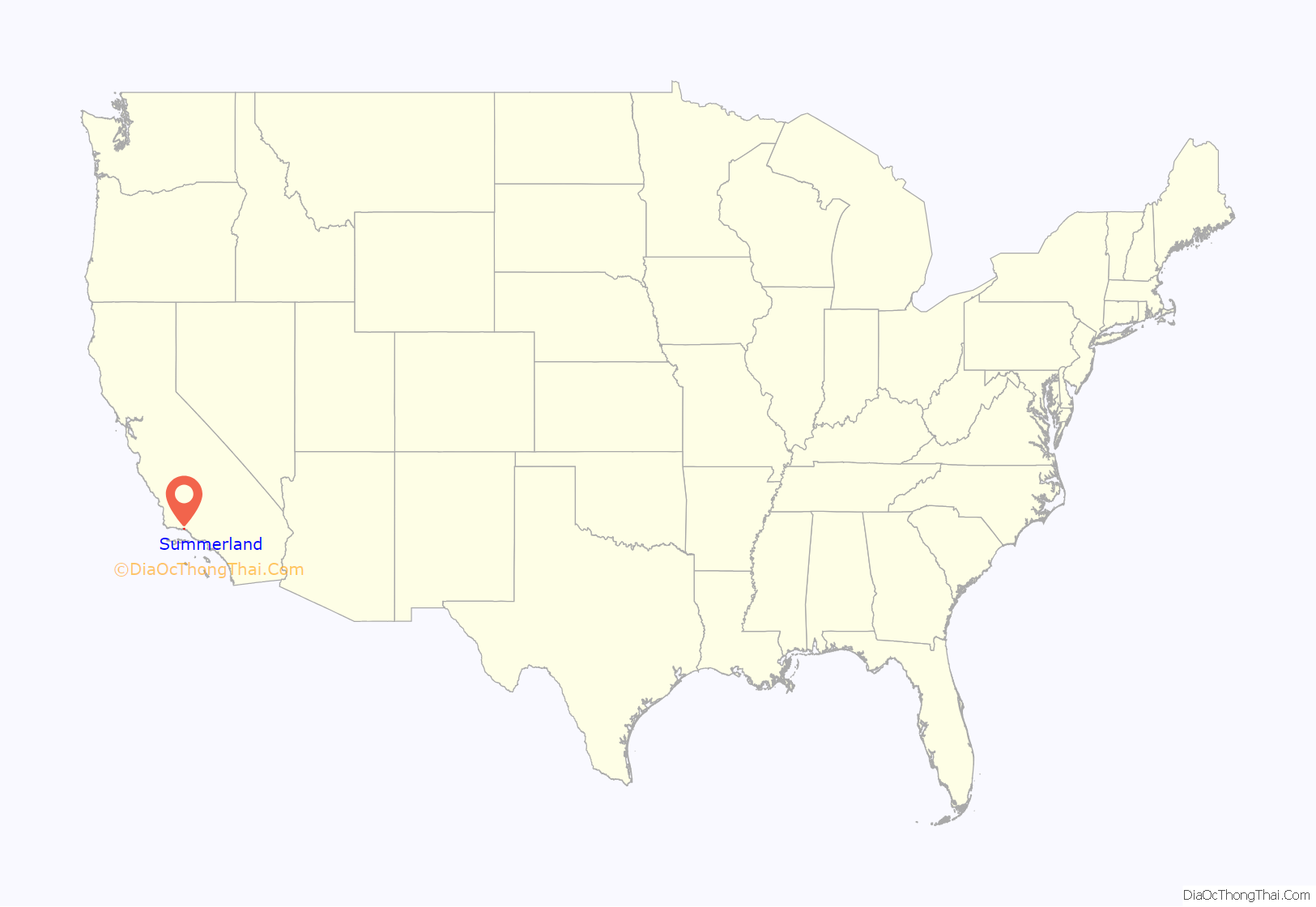
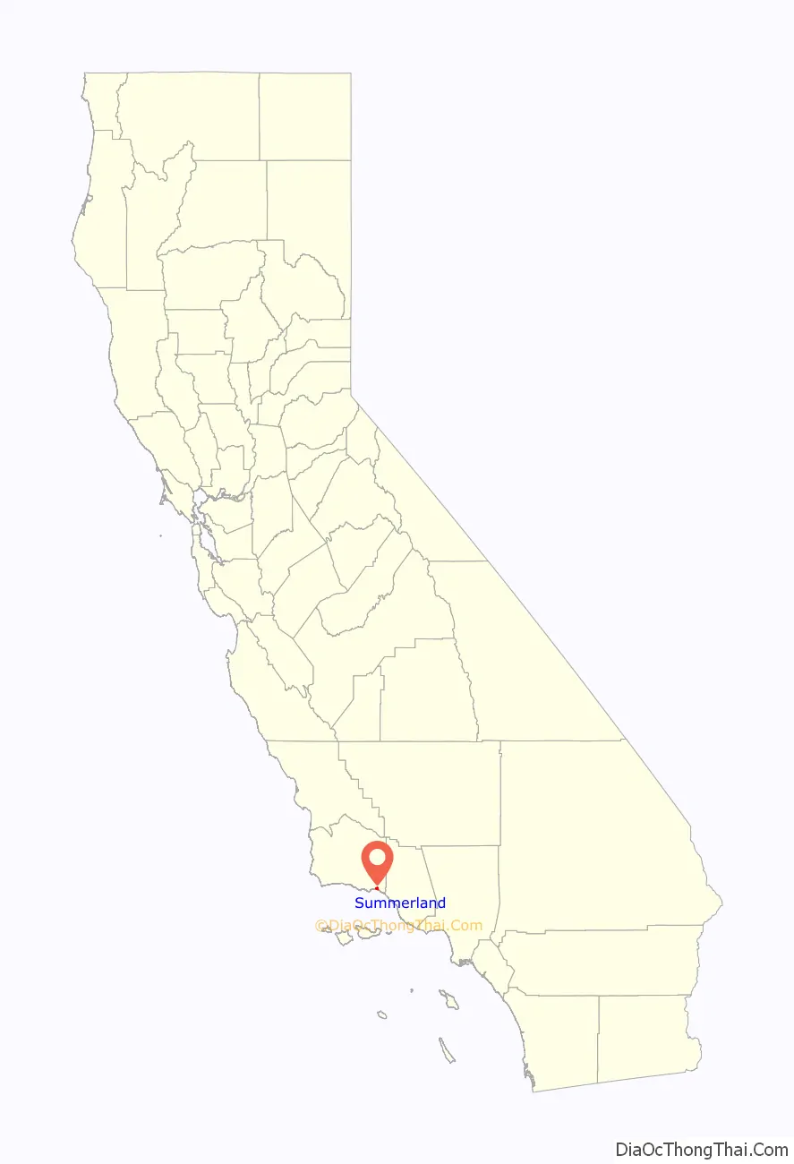
Summerland location map. Where is Summerland CDP?
History
Tar from natural oil seeps in the Summerland area was used for sealing their ocean-going tomols by the Chumash people and for the Mission Santa Barbara as waterproofing for the roof.
In 1883, spiritualist and real estate speculator H.L. Williams founded the town of Summerland. In 1888 he divided his land tract, on a moderately sloping hill facing the ocean, into numerous parcels. He promoted the tiny lots – 25 x 60 – to fellow Spiritualists, who bought them in quantity and moved to the area. The spiritual center of the town was a Spiritualist Church, with séance room, demolished when Highway 101 was put through in the 1950s.
In the 1890s, oil development began in the coastal area of Summerland, at the Summerland Oil Field. Numerous wooden oil derricks were built on the beach, and on piers stretching into the ocean. The world’s first offshore oil well, drilled into the sea floor, was at this location. Production at this beach area peaked before 1910, although most of the rigs remained into the 1920s. Peak production from the onshore portion of the Summerland Field did not occur until 1930; the last oil was pumped from the nearshore region in 1940.
In 1957, Standard Oil Co. of California (now Chevron) found the large Summerland Offshore Oil Field, several miles offshore, which was shut down in the 1990s. In January 1969, a blowout at the Dos Cuadras Field, about five miles offshore, caused the Santa Barbara Oil Spill, a formative event for the modern environmental movement.
In August 2015, Summerland’s beach was closed for several days by County of Santa Barbara health officials due to large amounts of oil washed onshore. Local residents suspect the petroleum source is a leaking capped oil well (“the Becker wellhead”) in the tidal area below Lookout Park.
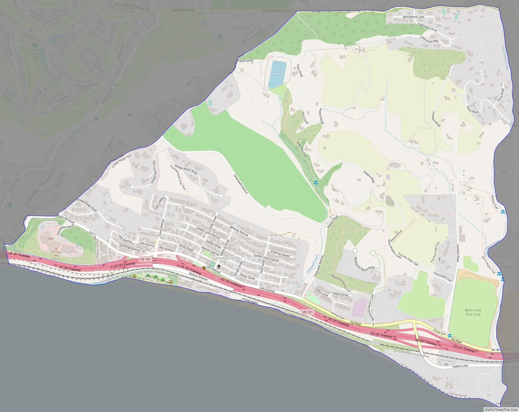
Summerland Road Map
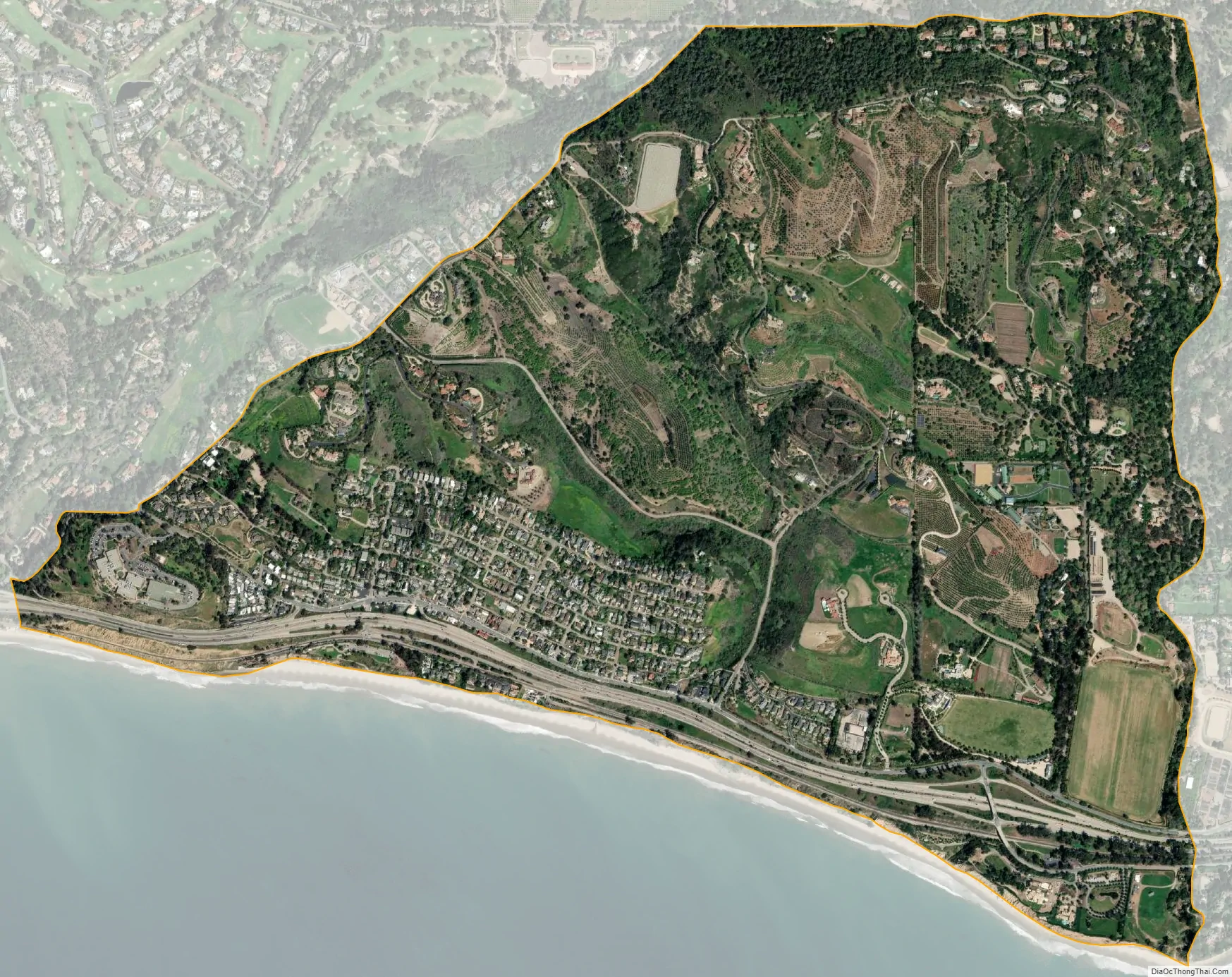
Summerland city Satellite Map
Geography
Summerland is located at 34°25′17″N 119°35′45″W / 34.42139°N 119.59583°W / 34.42139; -119.59583 (34.421395, -119.595969). It is on the coast directly east at Ortega Ridge Road at the unincorporated community of Montecito and west-northwest of the city of Carpinteria. Summerland has a significantly higher population density than the surrounding area. U.S. Route 101 goes through Summerland.
According to the United States Census Bureau, Summerland has a total area of 2.0 square miles (5.2 km), of which, 2.0 square miles (5.1 km) of it is land and 0.33% is water.
The community is built on a set of coastal bluffs right next to the ocean. Surrounding it and Montecito are the cities of Carpinteria and Santa Barbara.
Climate
This region experiences warm (but not hot) and dry summers, with no average monthly temperatures above 71.6 °F. According to the Köppen Climate Classification system, Summerland has a warm-summer Mediterranean climate, abbreviated “Csb” on climate maps.
See also
Map of California State and its subdivision:- Alameda
- Alpine
- Amador
- Butte
- Calaveras
- Colusa
- Contra Costa
- Del Norte
- El Dorado
- Fresno
- Glenn
- Humboldt
- Imperial
- Inyo
- Kern
- Kings
- Lake
- Lassen
- Los Angeles
- Madera
- Marin
- Mariposa
- Mendocino
- Merced
- Modoc
- Mono
- Monterey
- Napa
- Nevada
- Orange
- Placer
- Plumas
- Riverside
- Sacramento
- San Benito
- San Bernardino
- San Diego
- San Francisco
- San Joaquin
- San Luis Obispo
- San Mateo
- Santa Barbara
- Santa Clara
- Santa Cruz
- Shasta
- Sierra
- Siskiyou
- Solano
- Sonoma
- Stanislaus
- Sutter
- Tehama
- Trinity
- Tulare
- Tuolumne
- Ventura
- Yolo
- Yuba
- Alabama
- Alaska
- Arizona
- Arkansas
- California
- Colorado
- Connecticut
- Delaware
- District of Columbia
- Florida
- Georgia
- Hawaii
- Idaho
- Illinois
- Indiana
- Iowa
- Kansas
- Kentucky
- Louisiana
- Maine
- Maryland
- Massachusetts
- Michigan
- Minnesota
- Mississippi
- Missouri
- Montana
- Nebraska
- Nevada
- New Hampshire
- New Jersey
- New Mexico
- New York
- North Carolina
- North Dakota
- Ohio
- Oklahoma
- Oregon
- Pennsylvania
- Rhode Island
- South Carolina
- South Dakota
- Tennessee
- Texas
- Utah
- Vermont
- Virginia
- Washington
- West Virginia
- Wisconsin
- Wyoming


