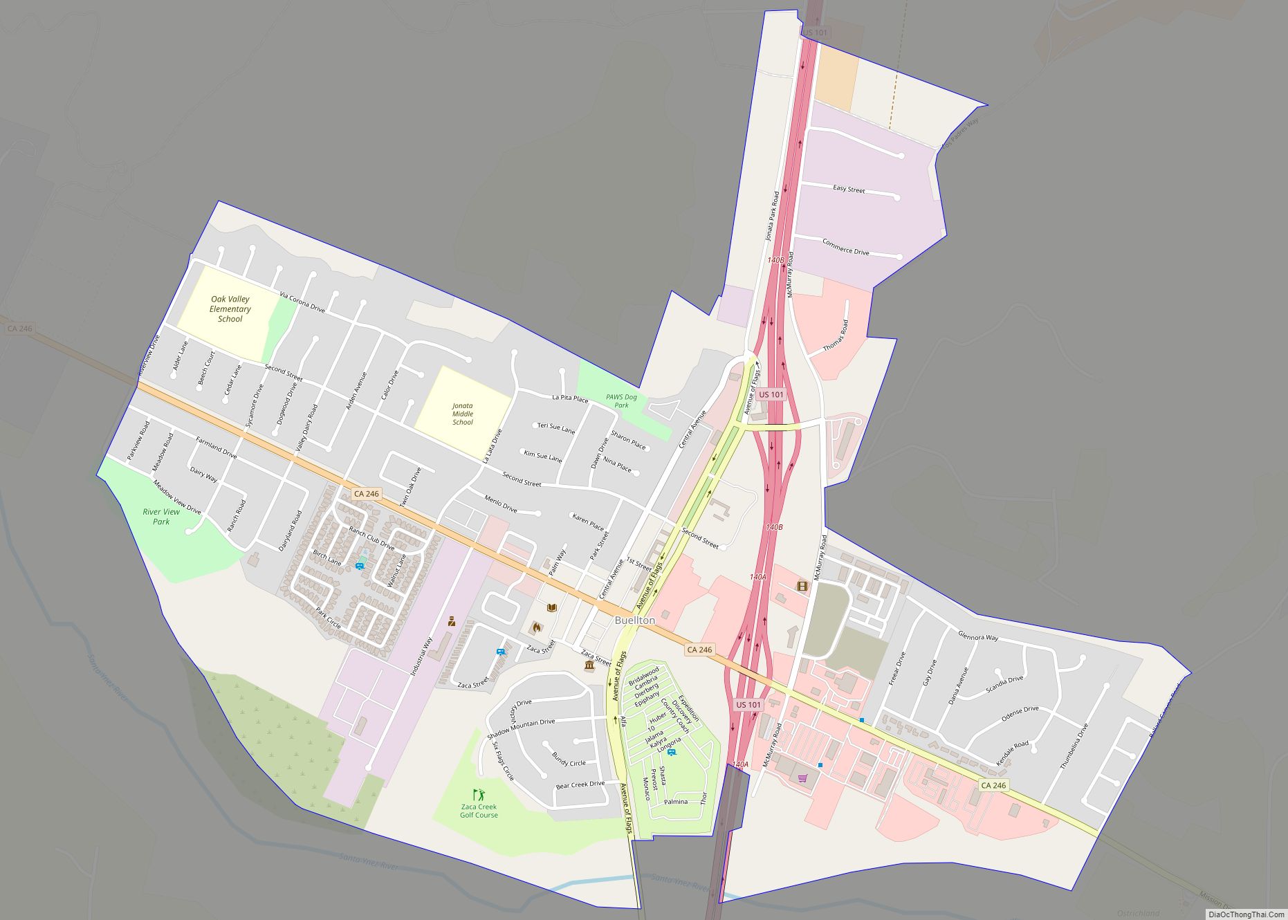
Buellton is a small city in Santa Barbara County, California, United States. It is located in the Santa Ynez Valley, 3 miles (4.8 km) west of Solvang. The population was 5,161 at the 2020 census, up from 4,828 at the 2010 census. Located at the junction of U.S. Route 101 and State Route 246, Buellton attracts ... Read more
California Cities and Places
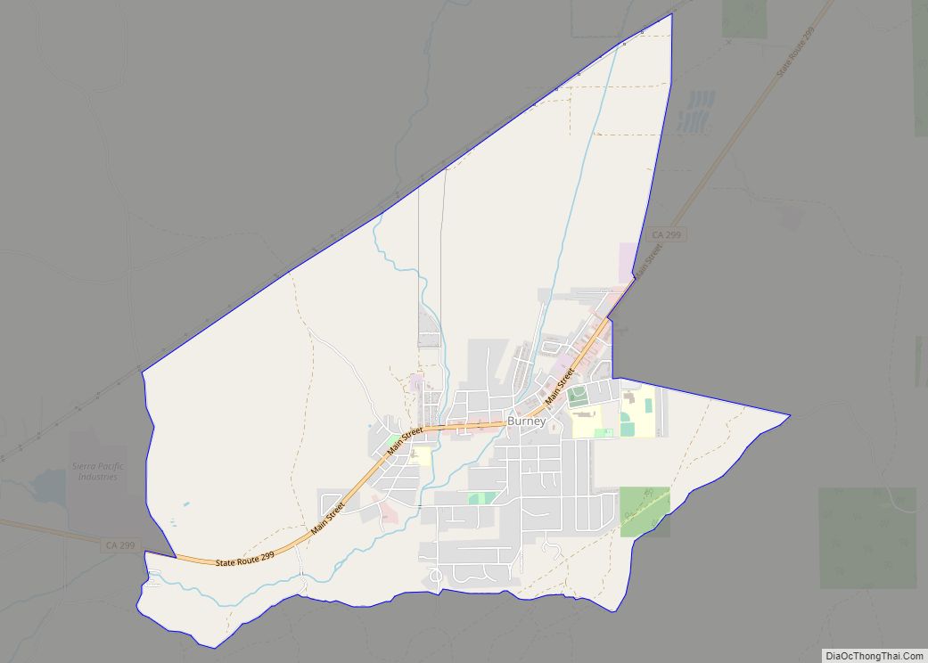
Burney is an unincorporated town and census-designated place (CDP) in Shasta County, California, United States. Its population is 3,000 as of the 2020 census, down from 3,154 from the 2010 census. Burney is located on State Route 299, about 4 miles west of its junction with State Route 89. Burney has several areas for fly ... Read more
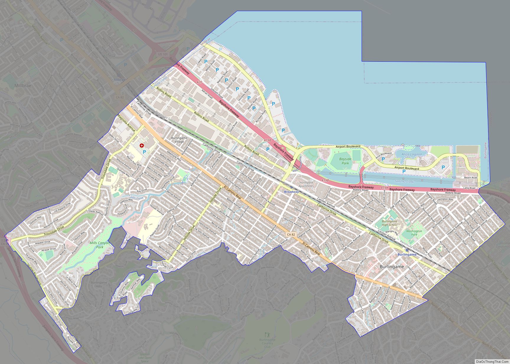
Burlingame (/ˈbɜːrlɪŋɡeɪm/) is a city in San Mateo County, California. It is located on the San Francisco Peninsula and has a significant shoreline on San Francisco Bay. The city is named after diplomat Anson Burlingame and is known for its numerous eucalyptus groves, high quality of life, walkable downtown area, and public school system. As ... Read more
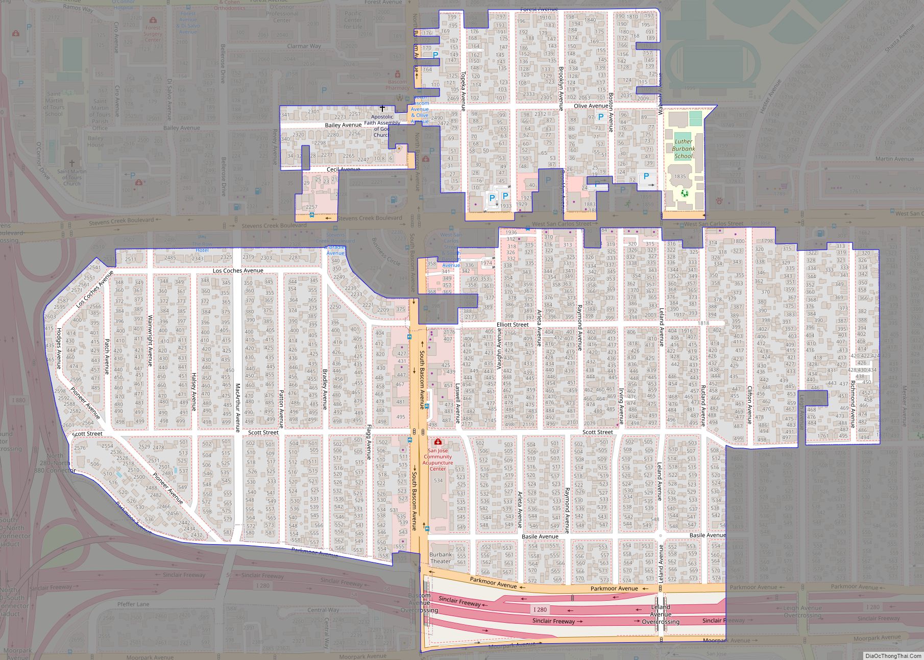
Burbank is a census-designated place in Santa Clara County, California. Part of the neighborhood has been annexed to San Jose, while the rest consists of unincorporated areas of Santa Clara County. The population was 4,926 at the 2010 census. The area was named for horticulturist Luther Burbank. The area is also a center for antique ... Read more
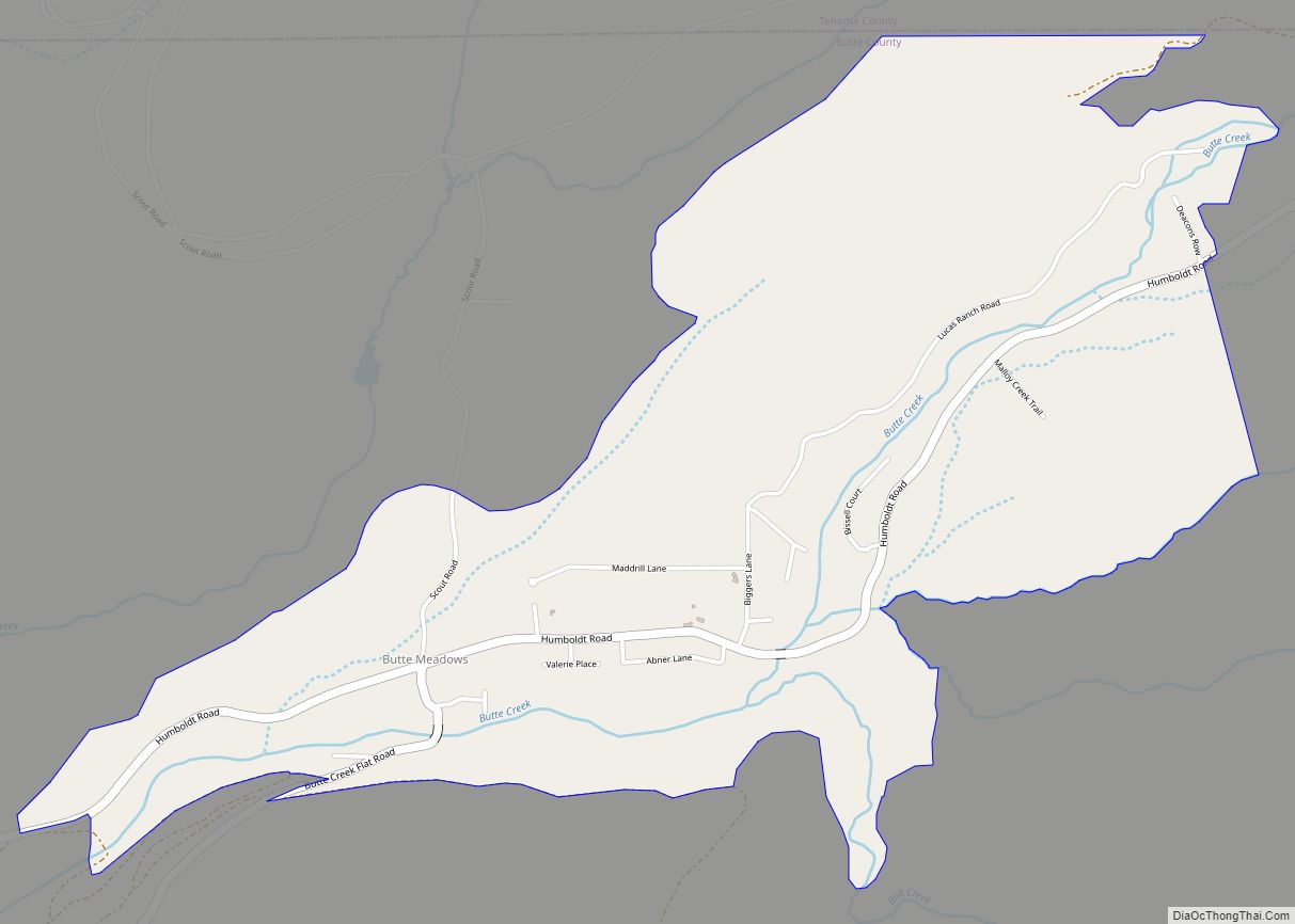
Butte Meadows is a census-designated place in Butte County, California, 5 miles off State Route 32 on Humboldt Rd. The area is about 45 minutes or 33 miles (53 km) east of Chico on SR32. Its elevation is listed at 4,340 feet (1,323 m) above sea level: certain to get snow in winter of any year. The ... Read more
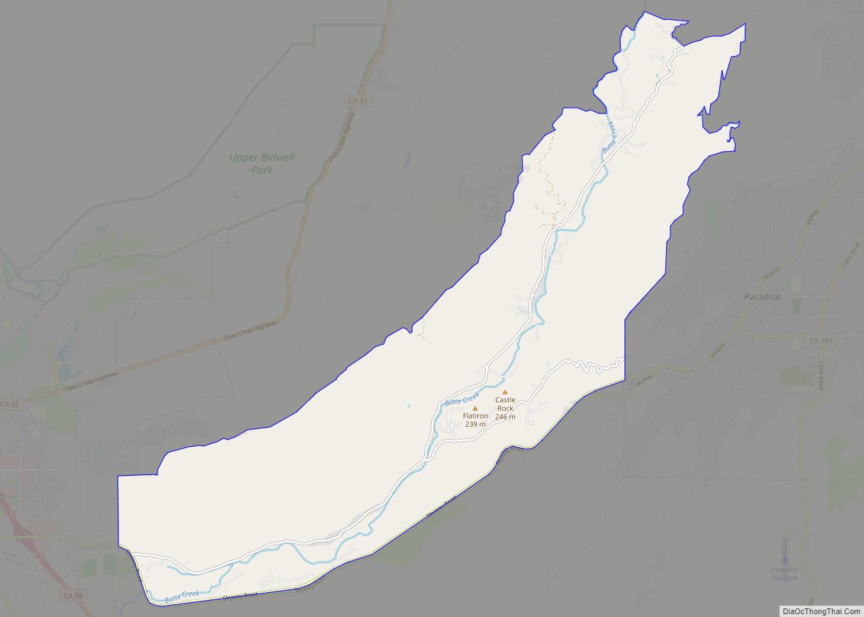
Butte Creek Canyon is an unincorporated community and census-designated place (CDP) in Butte County, California. Butte Creek Canyon sits at an elevation of 1024 feet (312 m) in the Sierra Nevada foothills. The 2010 United States census reported Butte Creek Canyon’s population was 1,086. In November 2018, the Camp Fire destroyed a large portion of ... Read more
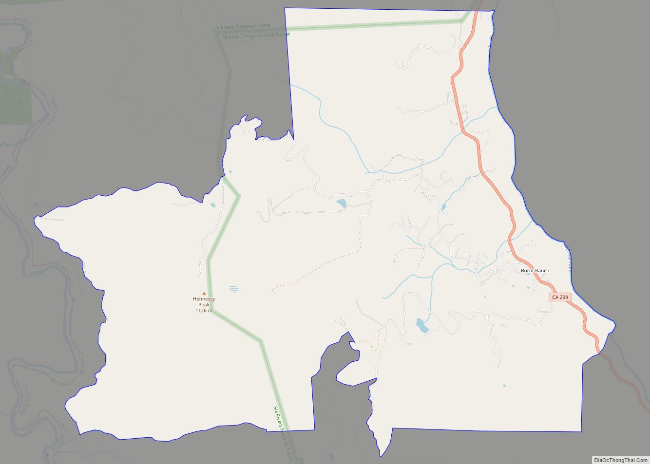
Burnt Ranch is a census-designated place (CDP) in Trinity County, California. It has a school and a post office. Its ZIP Code is 95527, and it is in area code 530. Its elevation is 1,502 feet (458 m). Its population is 250 as of the 2020 census, down from 281 from the 2010 census. Burnt Ranch ... Read more
Byron is a census designated place (CDP) in Contra Costa County, California, United States. Byron CDP overview: Name: Byron CDP LSAD Code: 57 LSAD Description: CDP (suffix) State: California County: Contra Costa County Elevation: 33 ft (10 m) Total Area: 6.52 sq mi (16.89 km²) Land Area: 6.52 sq mi (16.89 km²) Water Area: 0.00 sq mi (0.00 km²) 0% Total Population: 1,140 Population Density: 174.82/sq mi ... Read more
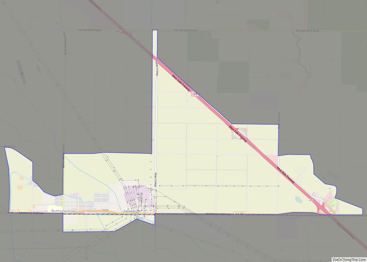
Buttonwillow is an unincorporated community and census-designated place in the San Joaquin Valley, in Kern County, California. Buttonwillow is 26 miles (42 km) west of Bakersfield, at an elevation of 269 feet (82 m)). The population was 1,508 at the 2010 census, up from 1,266 at the 2000 census. The center of population of California is located ... Read more
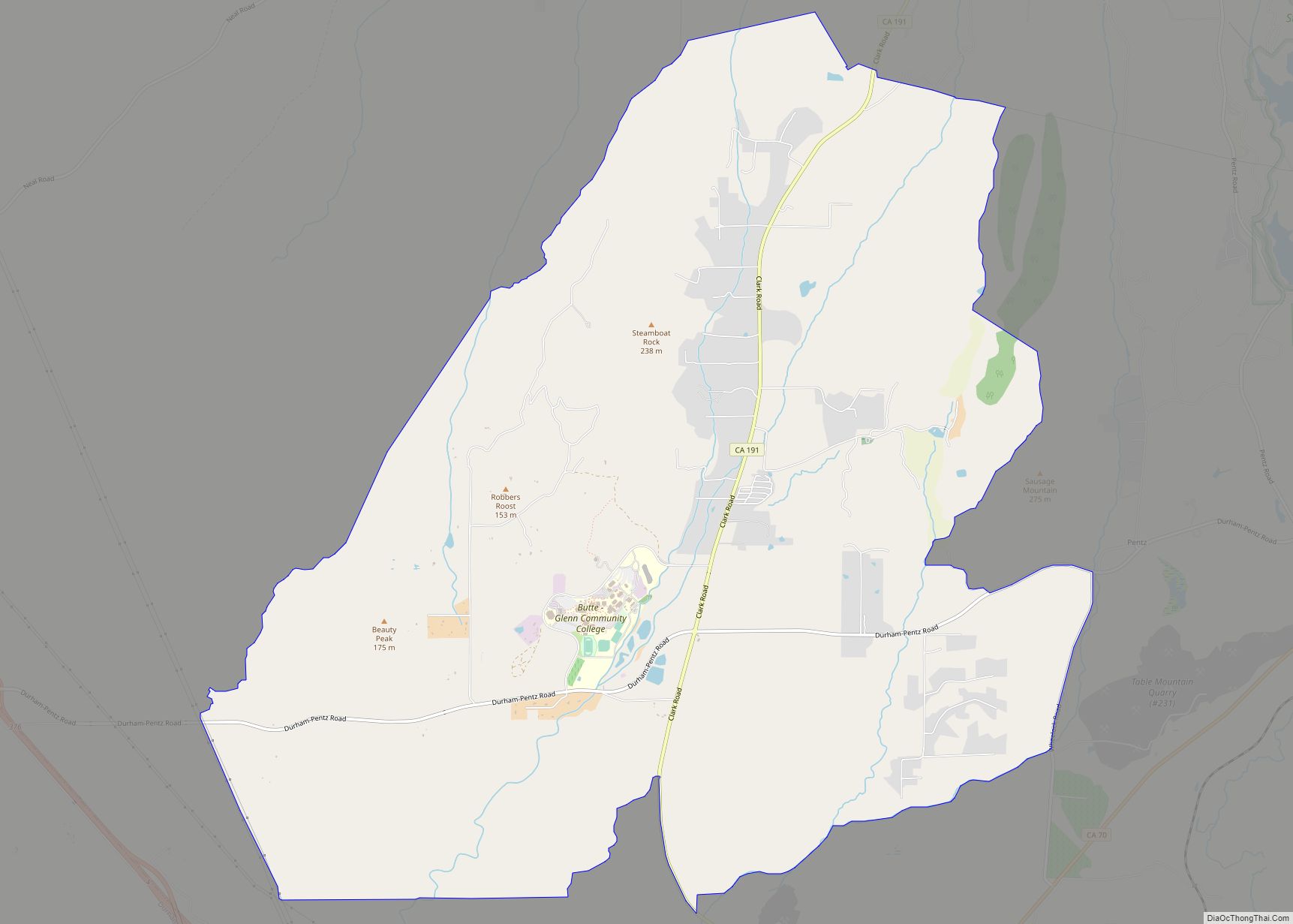
Butte Valley is an unincorporated community and census-designated place (CDP) named for a former settlement in Butte County, California, United States. It is located 5.5 miles (8.9 km) southeast of Chico. A post office operated at Butte Valley from 1861 to 1871, when it was re-located to Durham. Butte Valley sits at an elevation of 351 ... Read more
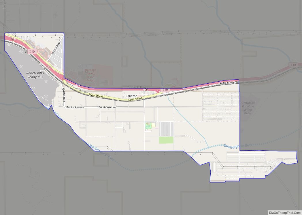
Cabazon (Spanish: Cabazón) is a unincorporated community in Riverside County, California, United States. Cabazon is on the Pacific Crest Trail. In the 21st century, the area has become a tourist stop, due to the Morongo Casino, Resort & Spa and Desert Hills Premium Outlets. The population was 2,535 during the 2010 Census. For statistical purposes, ... Read more
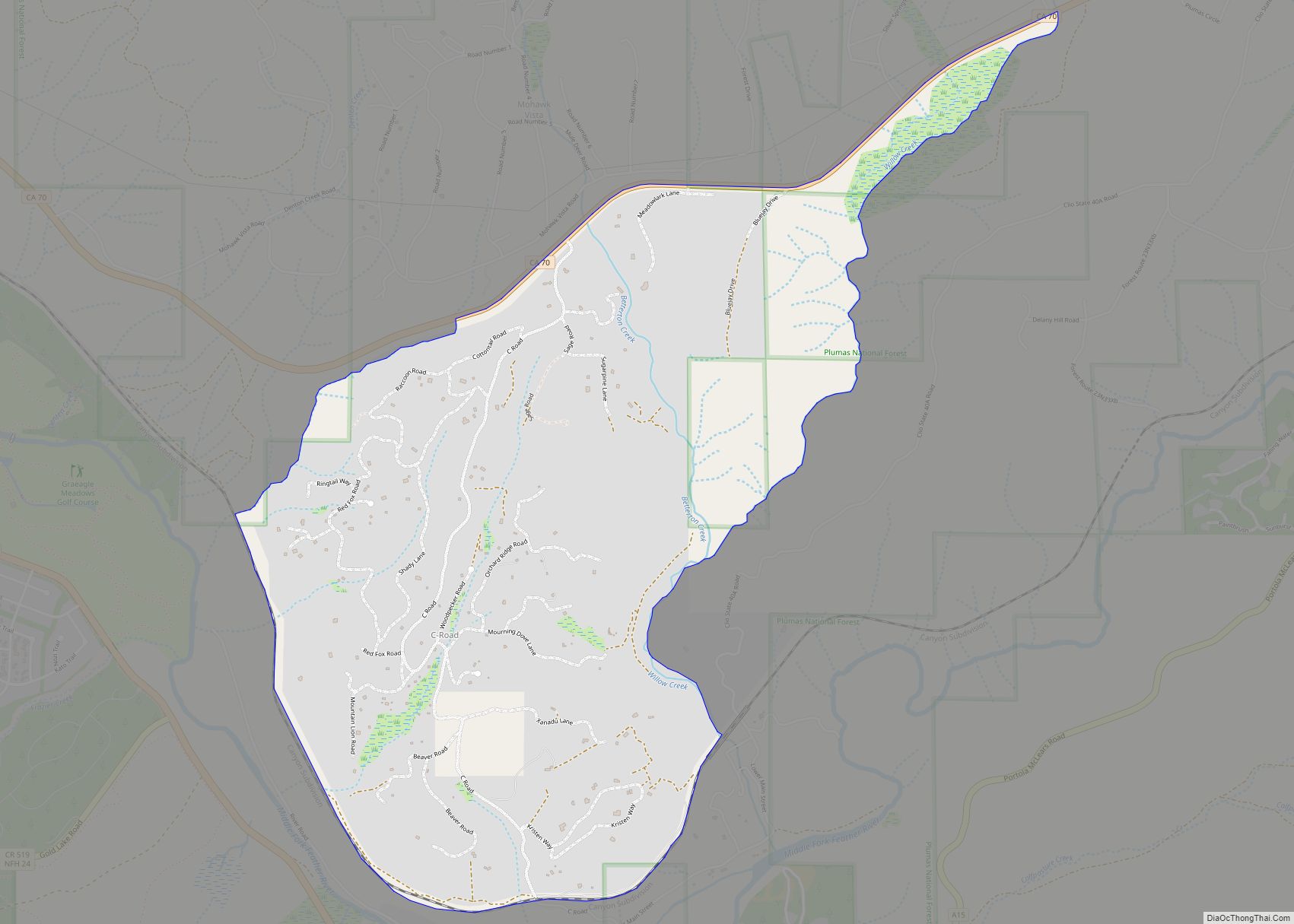
C-Road is a census-designated place (CDP) in Plumas County, California, United States. The population was 150 at the 2010 census, down from 152 at the 2000 census. C-Road CDP overview: Name: C-Road CDP LSAD Code: 57 LSAD Description: CDP (suffix) State: California County: Plumas County Elevation: 4,793 ft (1,461 m) Total Area: 2.66 sq mi (6.89 km²) Land Area: 2.66 sq mi ... Read more
