Buellton is a small city in Santa Barbara County, California, United States. It is located in the Santa Ynez Valley, 3 miles (4.8 km) west of Solvang. The population was 5,161 at the 2020 census, up from 4,828 at the 2010 census.
Located at the junction of U.S. Route 101 and State Route 246, Buellton attracts many travelers. It is a town which is home to various hotels, restaurants, parks and shops. It may be most famous for its nickname “Home of Split Pea Soup,” which is a reference to Pea Soup Andersen’s Restaurant. Buellton traces its beginnings to 1867 when a portion of a Mexican land grant was deeded Rufus T. Buell and his brother. They developed a successful cattle ranch in the 19th century.
| Name: | Buellton city |
|---|---|
| LSAD Code: | 25 |
| LSAD Description: | city (suffix) |
| State: | California |
| County: | Santa Barbara County |
| Incorporated: | February 1, 1992 |
| Elevation: | 358 ft (109 m) |
| Total Area: | 1.58 sq mi (4.10 km²) |
| Land Area: | 1.58 sq mi (4.10 km²) |
| Water Area: | 0.00 sq mi (0.00 km²) 0.04% |
| Total Population: | 5,161 |
| Population Density: | 3,266.46/sq mi (1,258.78/km²) |
| ZIP code: | 93427 |
| Area code: | 805 |
| FIPS code: | 0608758 |
| GNISfeature ID: | 1667902 |
| Website: | www.cityofbuellton.com |
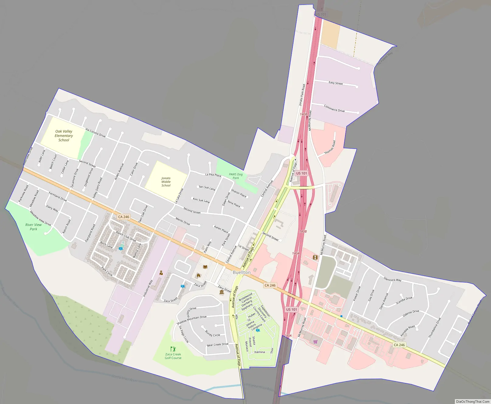
Online Interactive Map
Click on ![]() to view map in "full screen" mode.
to view map in "full screen" mode.
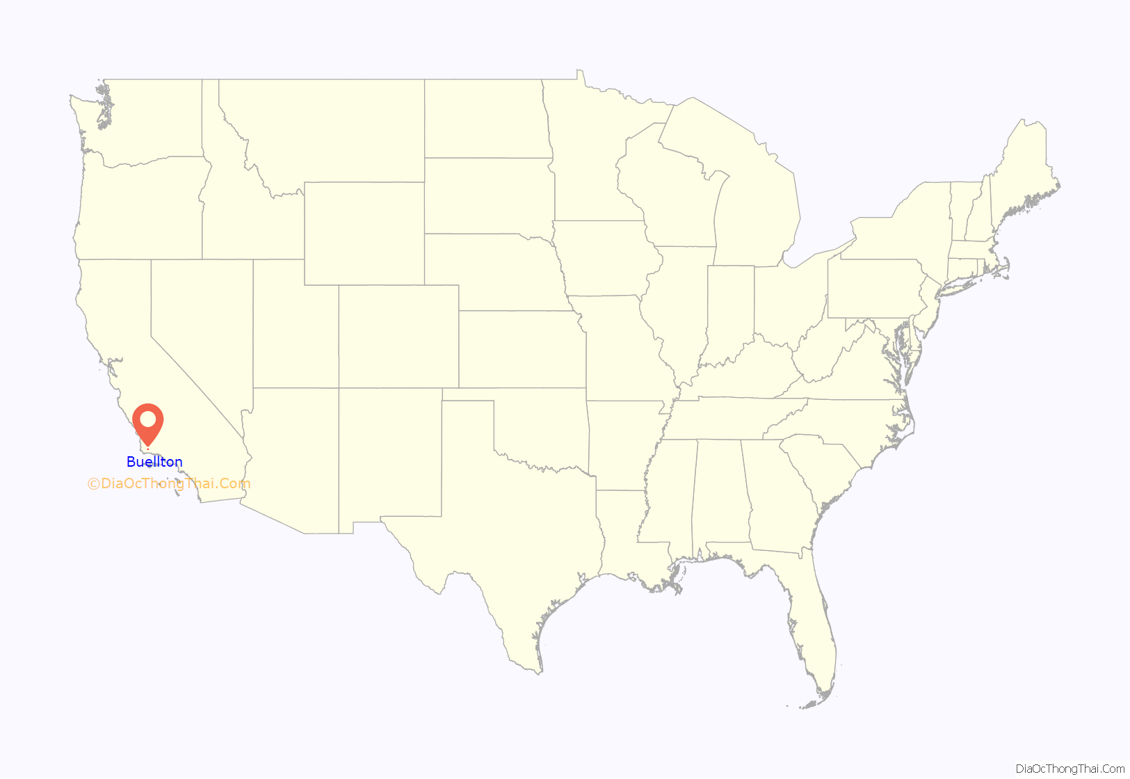
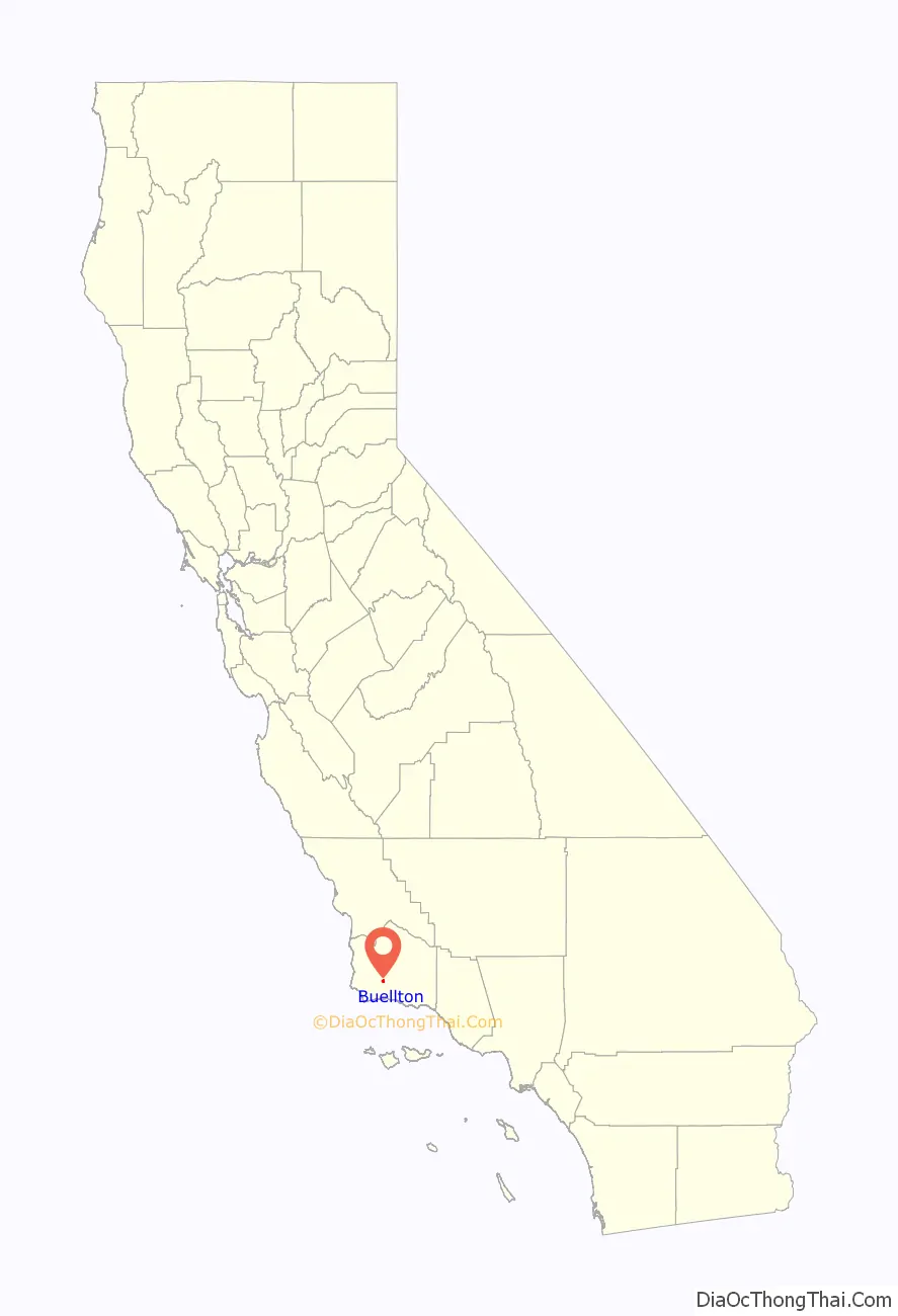
Buellton location map. Where is Buellton city?
History
Buellton is named for Rufus T. Buell, an early settler who owned the Rancho San Carlos de Jonata Mexican land grant. It has been a minor tourist destination since the 1920s, and became increasingly popular after the opening of Pea Soup Andersen’s in 1924. This and an abundance of fuel, lodging and other traveler services led Buellton to adopt the nickname “Servicetown, USA.”
Buellton has also experienced increased notoriety due to the film Sideways (2004), which was filmed in Buellton and Solvang. The City has gained additional tourism due to many nearby wineries, two popular breweries, and the Flying Flags RV Resort.
Buellton Road Map
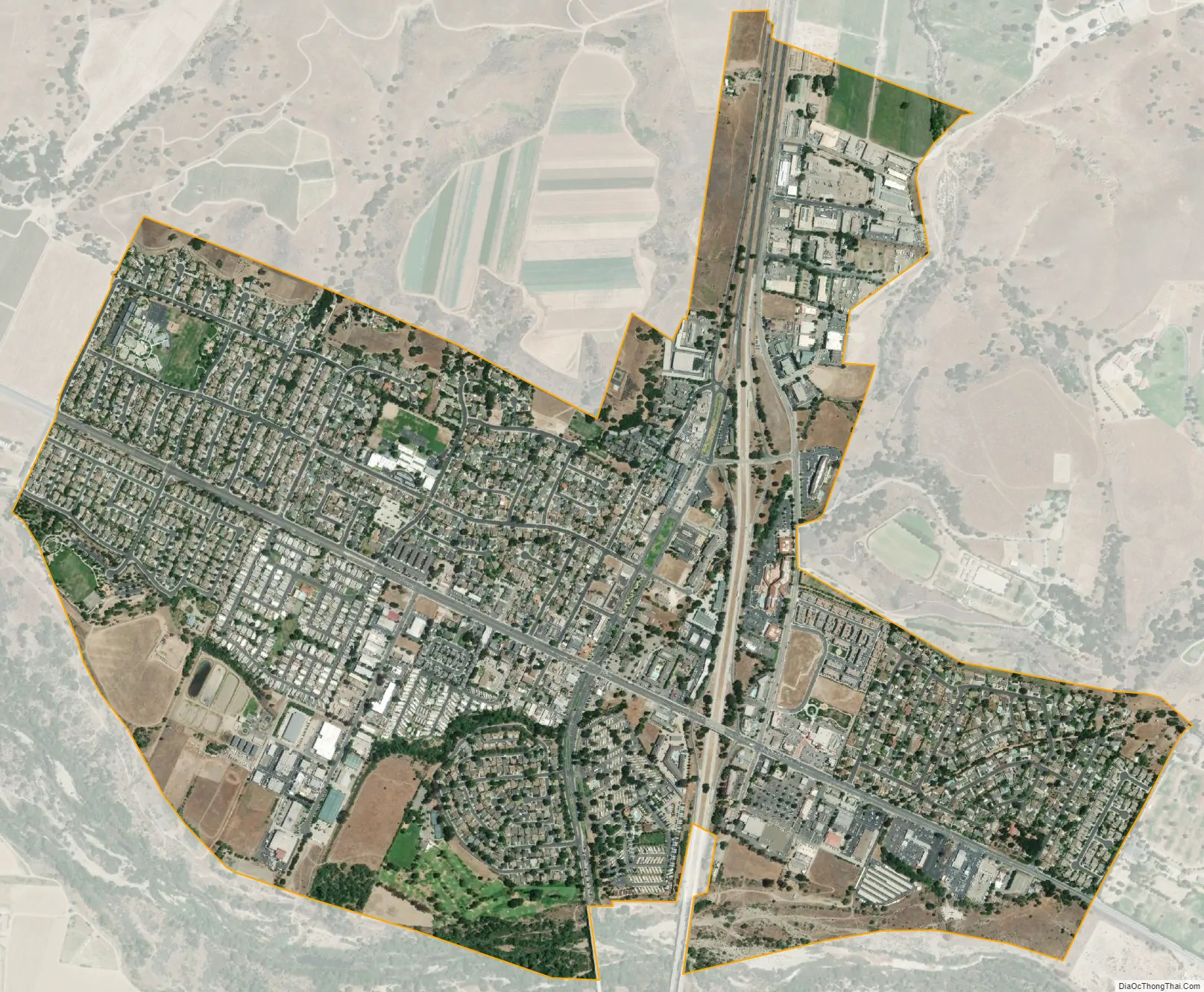
Buellton city Satellite Map
Geography
The town is surrounded by miles of open-space land in the Santa Ynez Valley, and borders the Santa Ynez River to the south. It is home to a library, one park, a golf course, fire station, Highway Patrol Office, a shopping plaza, 10 hotels and 18 restaurants.
According to the United States Census Bureau, the city has a total area of 1.6 square miles (4.1 km), 99.96% of it land and 0.04% of it water.
It is a common stop for travelers on U.S. Highway 101, being the first town north of Santa Barbara after the scenic and undeveloped stretch of about 25 miles (40 km) through the Gaviota Coast.
See also
Map of California State and its subdivision:- Alameda
- Alpine
- Amador
- Butte
- Calaveras
- Colusa
- Contra Costa
- Del Norte
- El Dorado
- Fresno
- Glenn
- Humboldt
- Imperial
- Inyo
- Kern
- Kings
- Lake
- Lassen
- Los Angeles
- Madera
- Marin
- Mariposa
- Mendocino
- Merced
- Modoc
- Mono
- Monterey
- Napa
- Nevada
- Orange
- Placer
- Plumas
- Riverside
- Sacramento
- San Benito
- San Bernardino
- San Diego
- San Francisco
- San Joaquin
- San Luis Obispo
- San Mateo
- Santa Barbara
- Santa Clara
- Santa Cruz
- Shasta
- Sierra
- Siskiyou
- Solano
- Sonoma
- Stanislaus
- Sutter
- Tehama
- Trinity
- Tulare
- Tuolumne
- Ventura
- Yolo
- Yuba
- Alabama
- Alaska
- Arizona
- Arkansas
- California
- Colorado
- Connecticut
- Delaware
- District of Columbia
- Florida
- Georgia
- Hawaii
- Idaho
- Illinois
- Indiana
- Iowa
- Kansas
- Kentucky
- Louisiana
- Maine
- Maryland
- Massachusetts
- Michigan
- Minnesota
- Mississippi
- Missouri
- Montana
- Nebraska
- Nevada
- New Hampshire
- New Jersey
- New Mexico
- New York
- North Carolina
- North Dakota
- Ohio
- Oklahoma
- Oregon
- Pennsylvania
- Rhode Island
- South Carolina
- South Dakota
- Tennessee
- Texas
- Utah
- Vermont
- Virginia
- Washington
- West Virginia
- Wisconsin
- Wyoming


