Burlingame (/ˈbɜːrlɪŋɡeɪm/) is a city in San Mateo County, California. It is located on the San Francisco Peninsula and has a significant shoreline on San Francisco Bay. The city is named after diplomat Anson Burlingame and is known for its numerous eucalyptus groves, high quality of life, walkable downtown area, and public school system. As of the 2020 census, the city population was 31,386.
| Name: | Burlingame city |
|---|---|
| LSAD Code: | 25 |
| LSAD Description: | city (suffix) |
| State: | California |
| County: | San Mateo County |
| Incorporated: | June 6, 1908 |
| Elevation: | 39 ft (12 m) |
| Total Area: | 6.04 sq mi (15.64 km²) |
| Land Area: | 4.39 sq mi (11.38 km²) |
| Water Area: | 1.65 sq mi (4.26 km²) 27.25% |
| Total Population: | 31,386 |
| Population Density: | 7,144.55/sq mi (2,758.42/km²) |
| Area code: | 650 |
| FIPS code: | 0609066 |
| Website: | www.burlingame.org |
Online Interactive Map
Click on ![]() to view map in "full screen" mode.
to view map in "full screen" mode.
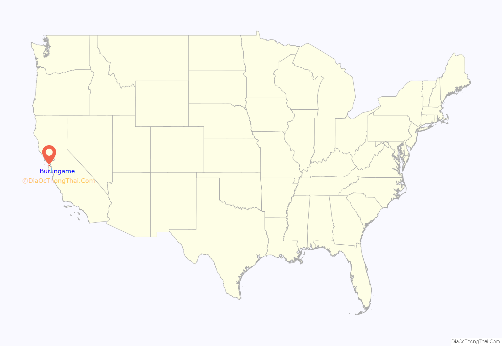
Burlingame location map. Where is Burlingame city?

History
Burlingame is situated on land previously owned by San Francisco-based merchant William Davis Merry Howard. Howard planted many eucalyptus trees on his property and retired to live on the land. Howard died in 1856 and the land was sold to William C. Ralston, a prominent banker. In 1868, Ralston named the land after his friend Anson Burlingame, the United States Ambassador to China. After the 1906 San Francisco earthquake, hundreds of lots in Burlingame were sold to people looking to establish new homes, and the town of Burlingame was incorporated in 1908. In 1910, the neighboring town of Easton was annexed and this area is now known as the Easton Addition neighborhood of Burlingame.
Burlingame refers to itself as the City of Trees due to its over 18,000 public trees within the city. In 1908, the Burlingame board of trustees passed an ordinance “prohibiting cutting, injuring, or destroying trees”. The city also has many parks and eucalyptus groves.
In 2018, upon the 150th anniversary of the 1868 landmark Burlingame Treaty between the U.S. and China, a new bust of diplomat Anson Burlingame, sculpted by Zhou Limin from China, was unveiled at an international ceremony at the Burlingame Public Library.
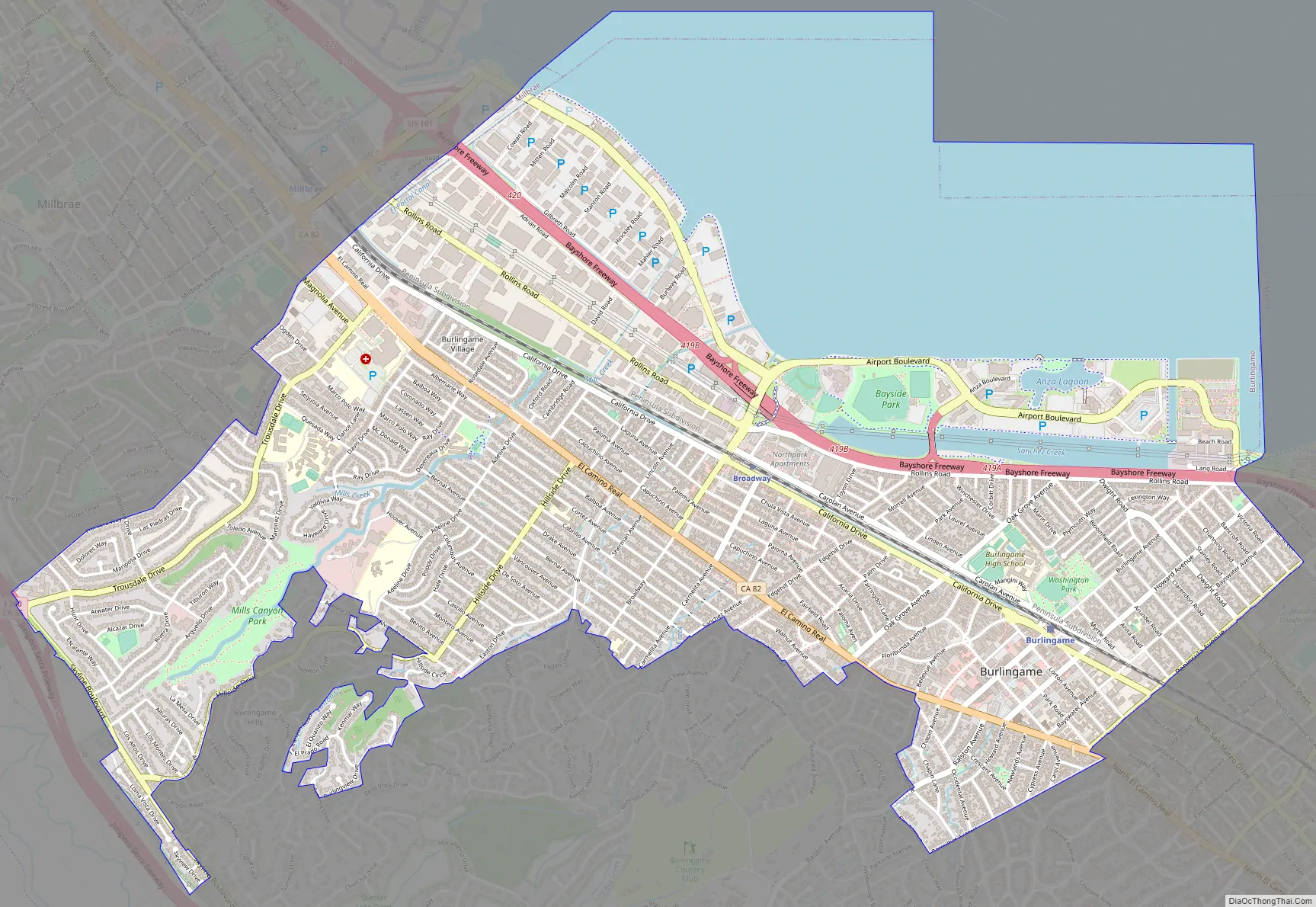
Burlingame Road Map
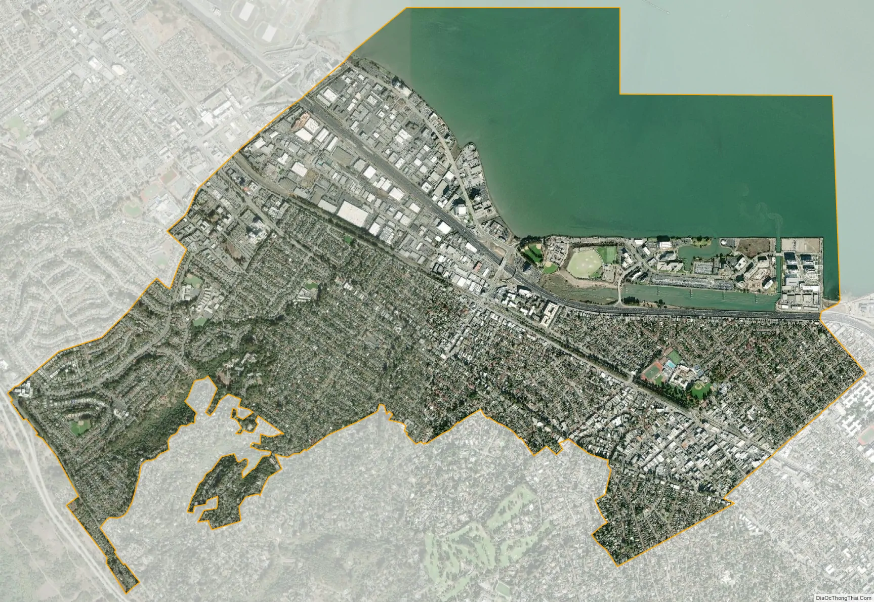
Burlingame city Satellite Map
Geography
According to the United States Census Bureau, the city has a total area of 6.1 square miles (16 km). 4.4 square miles (11 km) of it is land, and 1.7 square miles (4.4 km) of it (comprising 27.25%) is water.
Several creeks drain across Burlingame from the peninsula hills to the San Francisco Bay.
Climate
Burlingame experiences warm and dry summers, with no average monthly temperatures above 71.6 °F (22 °C). According to the Köppen Climate Classification system, Burlingame has a warm-summer Mediterranean climate.
See also
Map of California State and its subdivision:- Alameda
- Alpine
- Amador
- Butte
- Calaveras
- Colusa
- Contra Costa
- Del Norte
- El Dorado
- Fresno
- Glenn
- Humboldt
- Imperial
- Inyo
- Kern
- Kings
- Lake
- Lassen
- Los Angeles
- Madera
- Marin
- Mariposa
- Mendocino
- Merced
- Modoc
- Mono
- Monterey
- Napa
- Nevada
- Orange
- Placer
- Plumas
- Riverside
- Sacramento
- San Benito
- San Bernardino
- San Diego
- San Francisco
- San Joaquin
- San Luis Obispo
- San Mateo
- Santa Barbara
- Santa Clara
- Santa Cruz
- Shasta
- Sierra
- Siskiyou
- Solano
- Sonoma
- Stanislaus
- Sutter
- Tehama
- Trinity
- Tulare
- Tuolumne
- Ventura
- Yolo
- Yuba
- Alabama
- Alaska
- Arizona
- Arkansas
- California
- Colorado
- Connecticut
- Delaware
- District of Columbia
- Florida
- Georgia
- Hawaii
- Idaho
- Illinois
- Indiana
- Iowa
- Kansas
- Kentucky
- Louisiana
- Maine
- Maryland
- Massachusetts
- Michigan
- Minnesota
- Mississippi
- Missouri
- Montana
- Nebraska
- Nevada
- New Hampshire
- New Jersey
- New Mexico
- New York
- North Carolina
- North Dakota
- Ohio
- Oklahoma
- Oregon
- Pennsylvania
- Rhode Island
- South Carolina
- South Dakota
- Tennessee
- Texas
- Utah
- Vermont
- Virginia
- Washington
- West Virginia
- Wisconsin
- Wyoming


