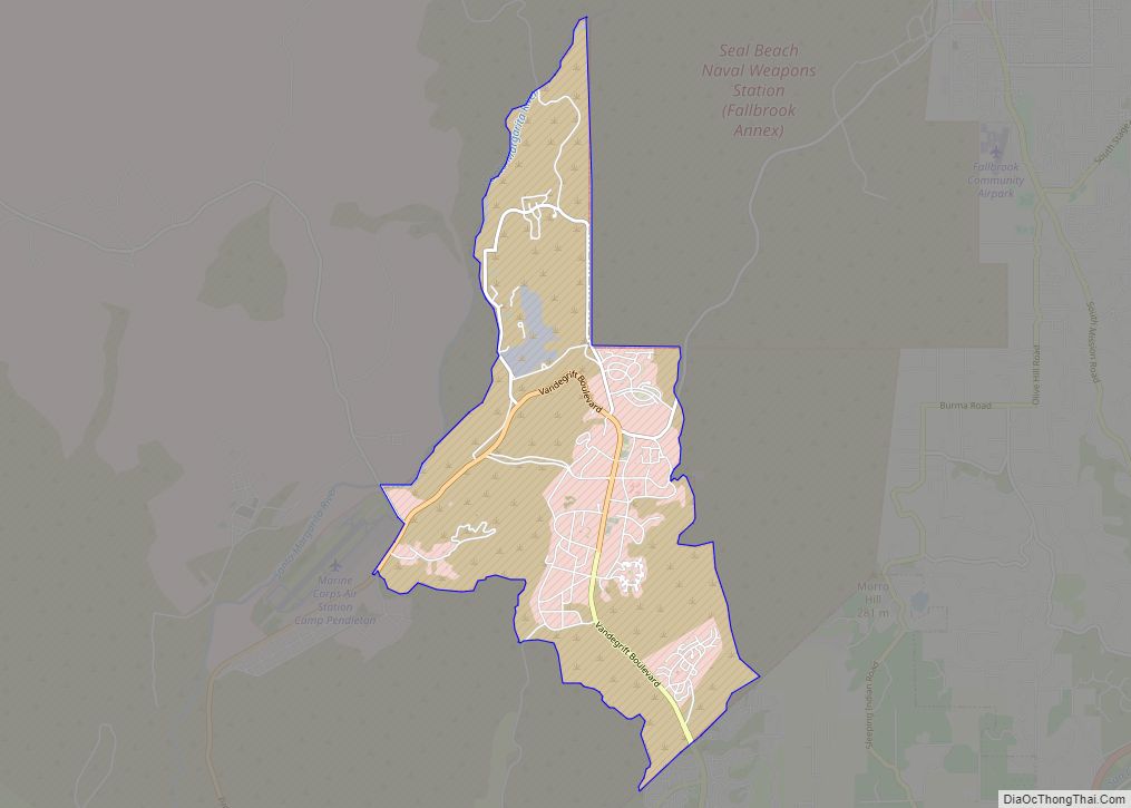
Camp Pendleton Mainside is a census-designated place (CDP) in San Diego County, California, located at the southeast corner of the Marine Corps Base Camp Pendleton. Per the 2020 census, the population was 9,683. It was formerly known as Camp Pendleton North, but its name was changed for the 2020 Census. Along with Camp Pendleton South, ... Read more
California Cities and Places
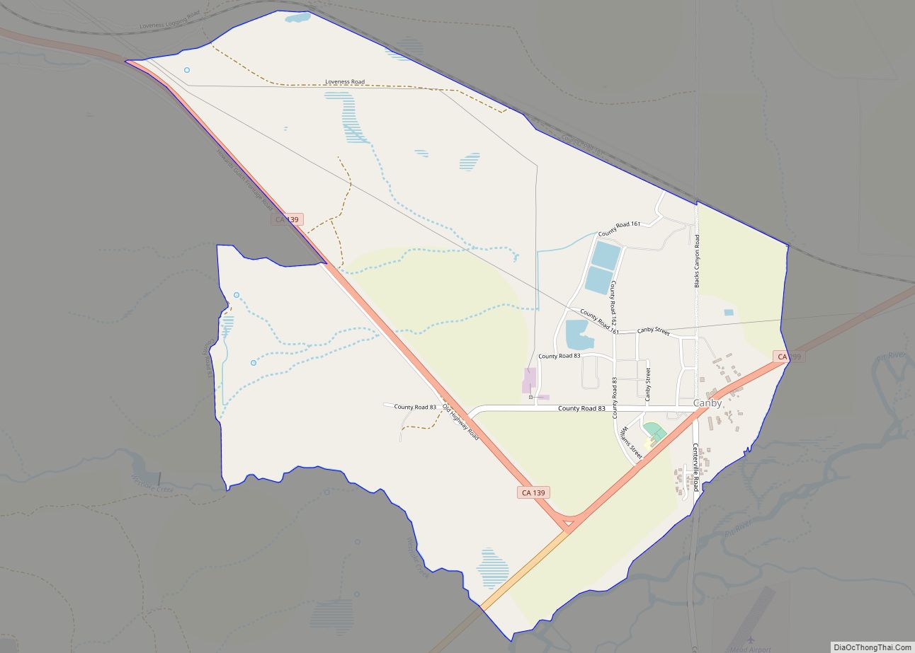
Canby is a census-designated place in Modoc County, California. It is located 17 miles (27 km) west of Alturas, at an elevation of 4314 feet (1315 m). Its population is 183 as of the 2020 census, down from 315 from the 2010 census. The ZIP Code is 96015. The community is inside area code 530. Canby ... Read more
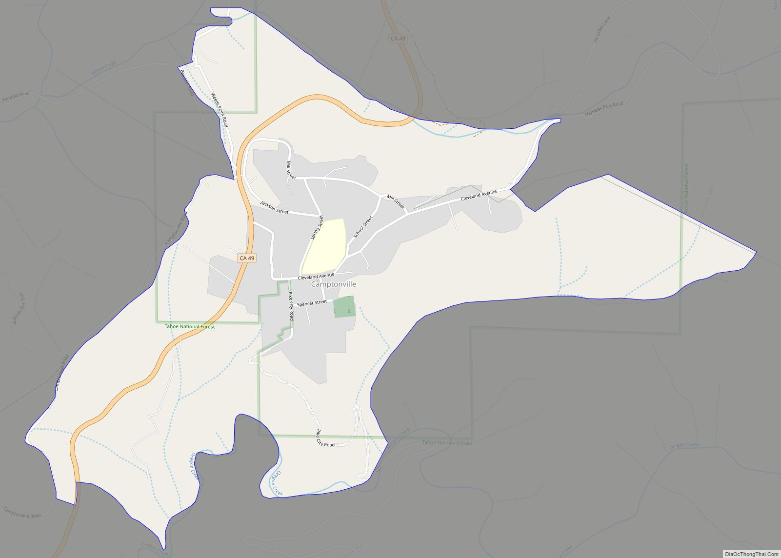
Camptonville (formerly, Comptonville and Gold Ridge) is a small town and census-designated place (CDP) located in northeastern Yuba County, California. The town is located 36 miles (58 km) northeast of Marysville, off Highway 49 between Downieville and Nevada City. It is located on a ridge between the North Fork and Middle Fork of the Yuba River, ... Read more
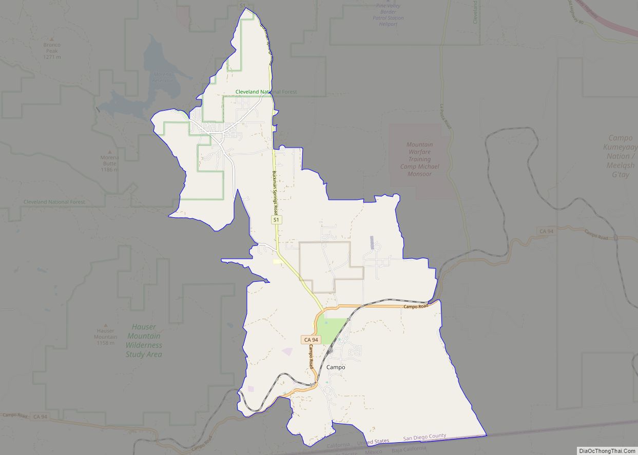
Campo (Spanish for “Field”) is an unincorporated community in the Mountain Empire area of southeastern San Diego County, California, United States. The population was 2,955 at the 2020 United States census, up from 2,684 at the 2010 census. For statistical purposes, the United States Census Bureau has defined Campo as a census-designated place (CDP). The ... Read more
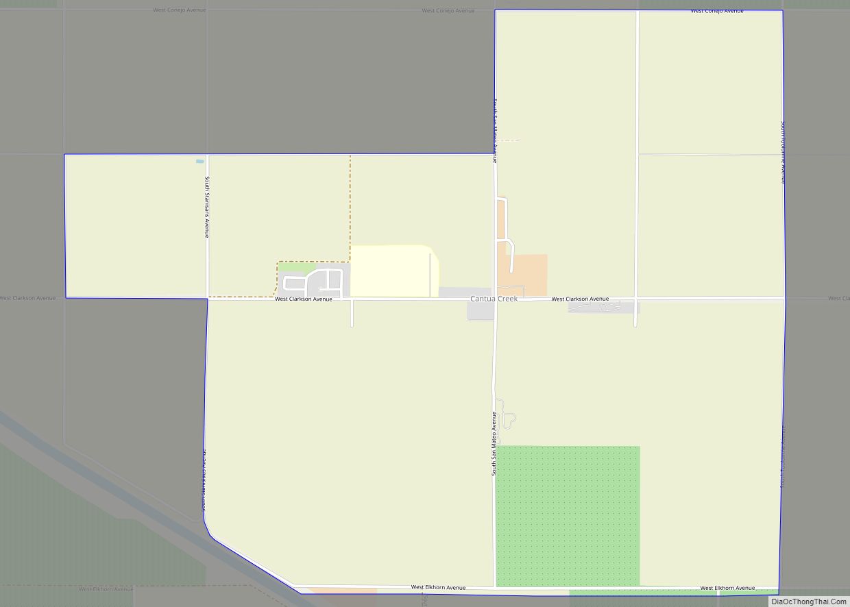
Cantua Creek (formerly, Cantua and Cantuna) is a census-designated place (CDP) in Fresno County, California, United States. As of the 2010 census, the population was 466, down from the 655 reported at the 2000 census. Cantua Creek is located 11 miles (18 km) south-southwest of Tranquillity, at an elevation of 295 feet (90 m). Cantua Creek ... Read more
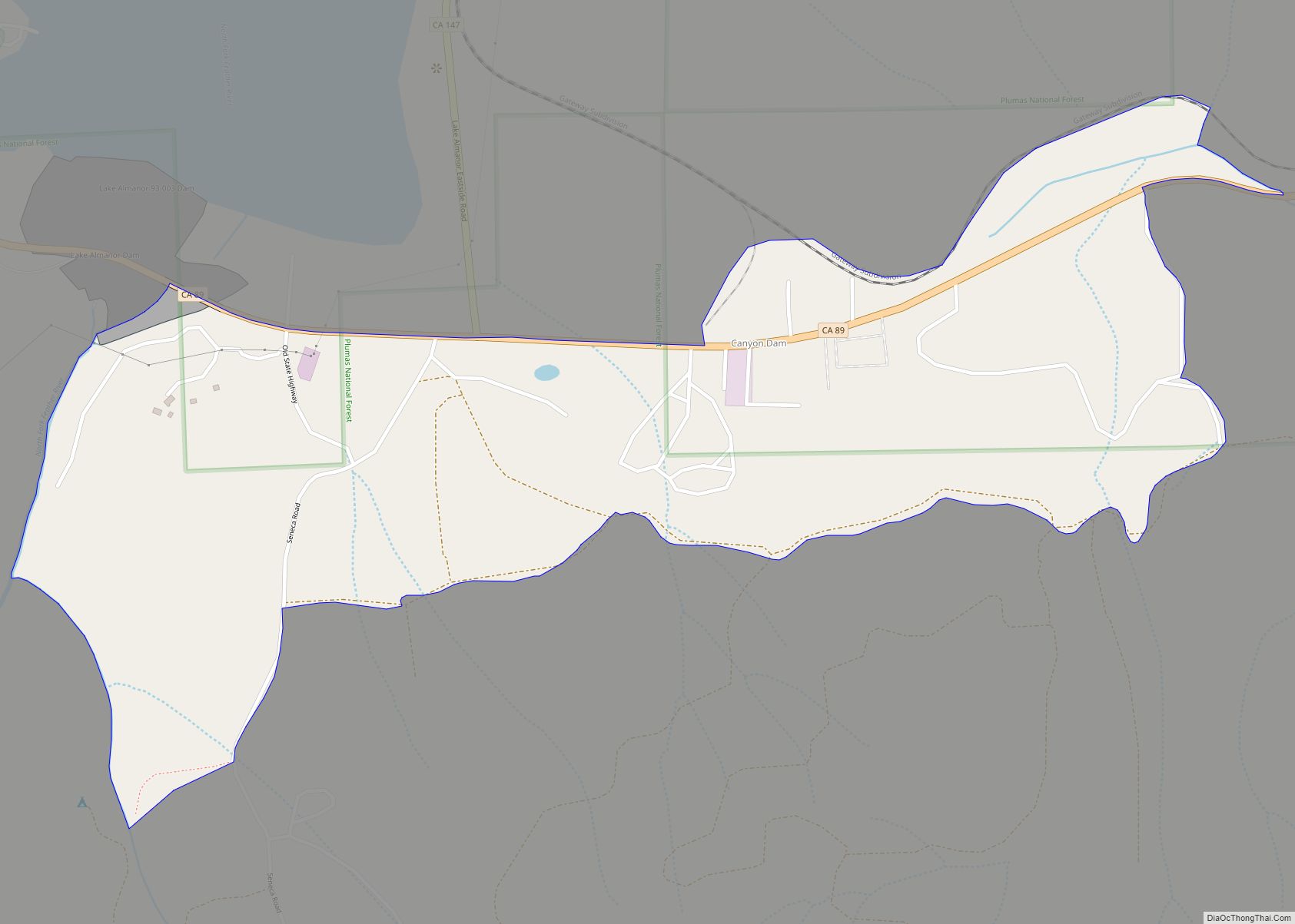
Canyondam (formerly, Canyon Dam) is a census-designated place (CDP) in Plumas County, California, United States. Canyondam is located near the dam that forms Lake Almanor, 6.25 miles (10.1 km) east-southeast of Almanor. The population was 31 as of the 2010 census, down from 37 as of the 2000 census. On August 6, 2021, the community was ... Read more
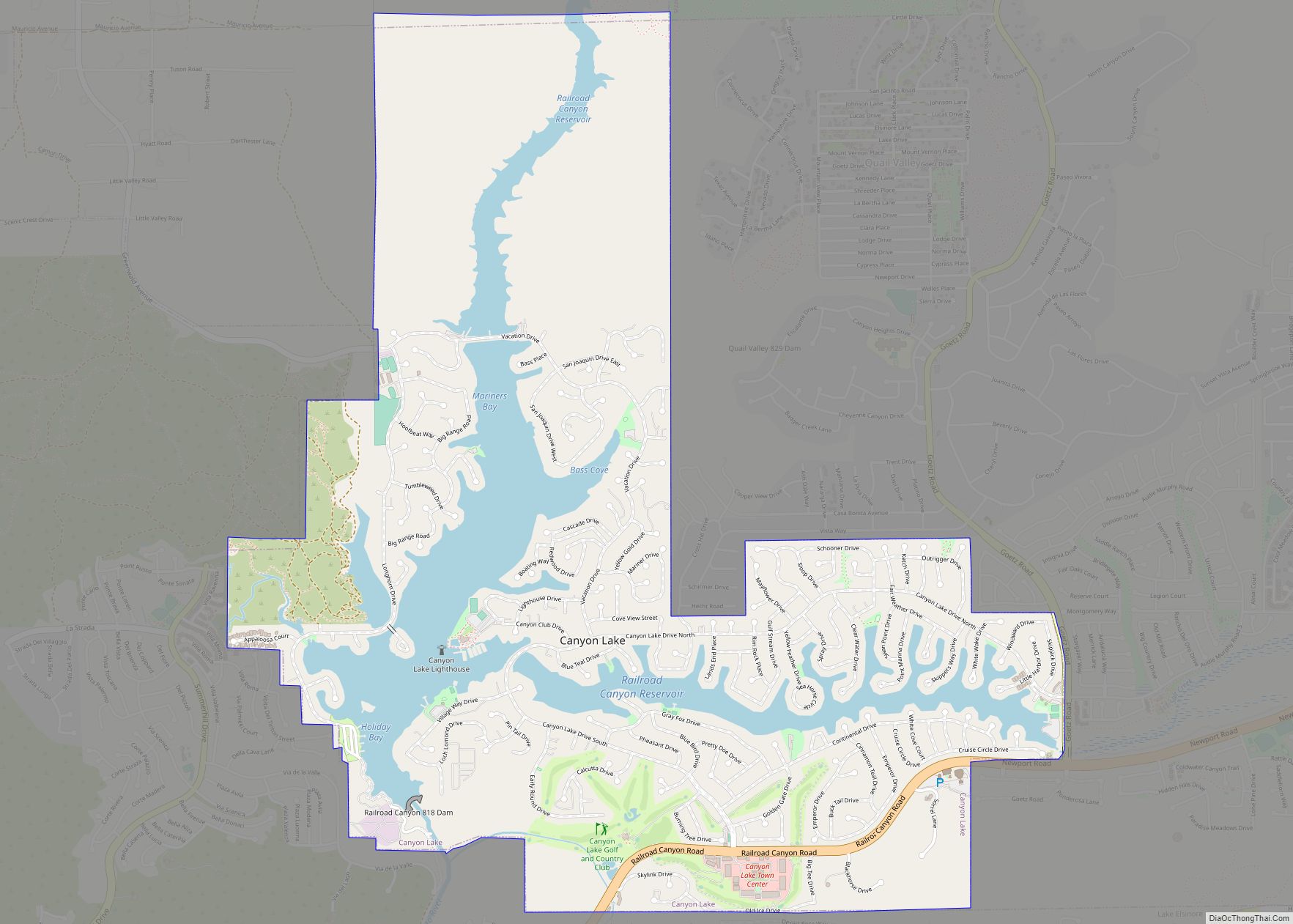
Canyon Lake is a city and gated community on Canyon Lake reservoir, located in the Inland Empire, Riverside County, California, United States. Canyon Lake began as a master-planned community developed by Corona Land Company in 1968. The City of Canyon Lake was incorporated on December 1, 1990. Railroad Canyon Dam was built in 1927, and ... Read more
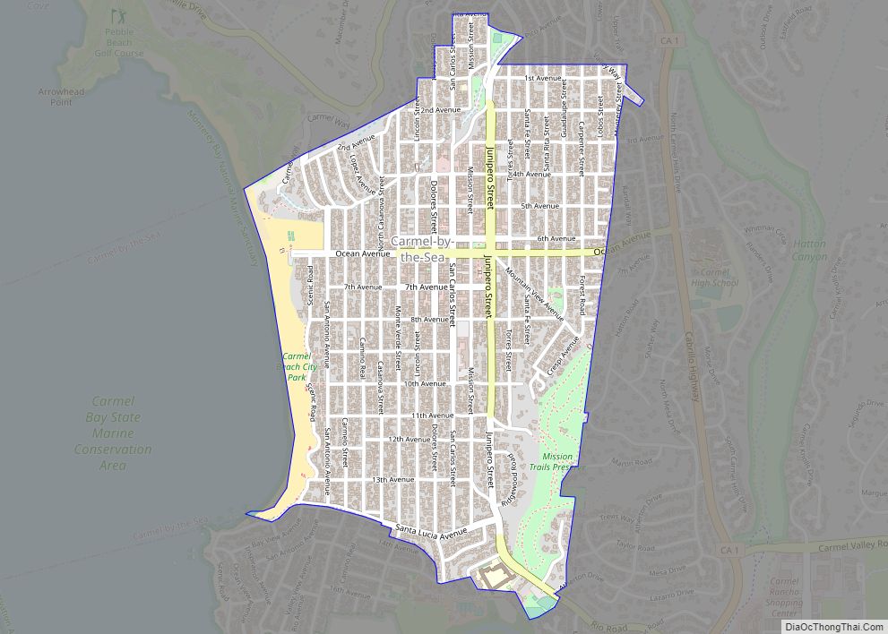
Carmel-by-the-Sea (/kɑːrˈmɛl/), often simply called Carmel, is a city in Monterey County, California, United States, founded in 1902 and incorporated on October 31, 1916. Situated on the Monterey Peninsula, Carmel is known for its natural scenery and rich artistic history. In 1906, the San Francisco Call devoted a full page to the “artists, writers and ... Read more
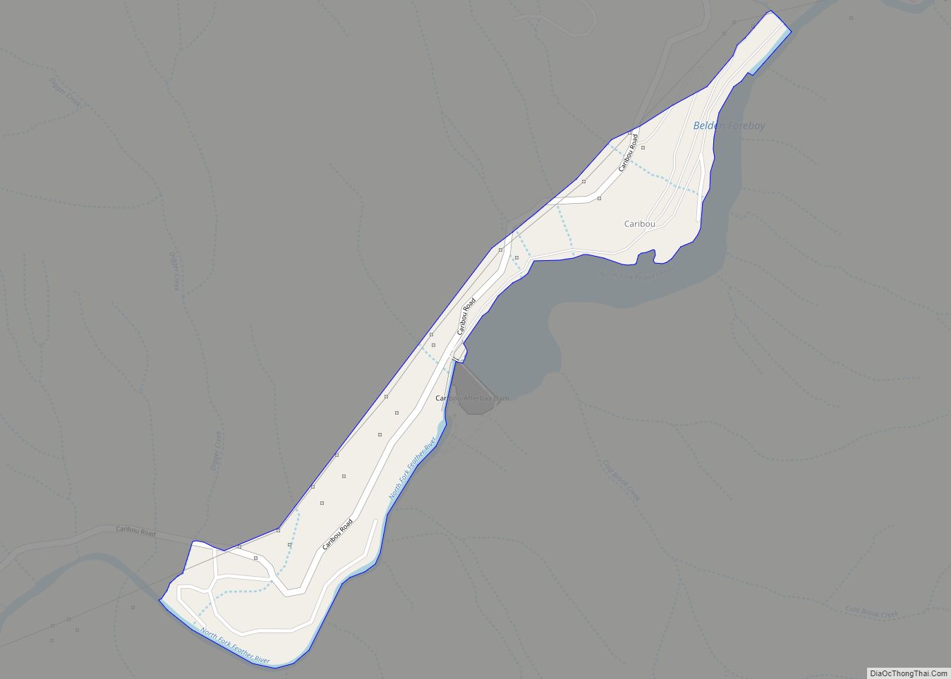
Caribou (formerly Cariboo) is a census-designated place located in Plumas County, California, United States. As of the 2010 Census, the town had a population of 0. Caribou is located on the North Fork Feather River, 9.5 miles (15.3 km) south of Almanor. The closest communities are Belden to the southwest, Twain to the southeast, Canyondam to ... Read more
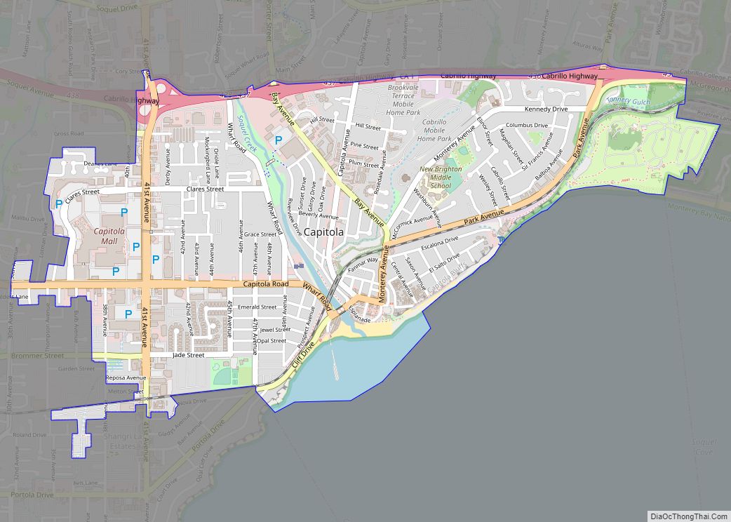
Capitola is a small seaside town in Santa Cruz County, California. Capitola is located on the northern shores of Monterey Bay, on the Central Coast of California. The city had a population of 9,938 at the 2020 census. Capitola is a popular tourist destination, owing to its beaches and restaurants. Capitola city overview: Name: Capitola ... Read more
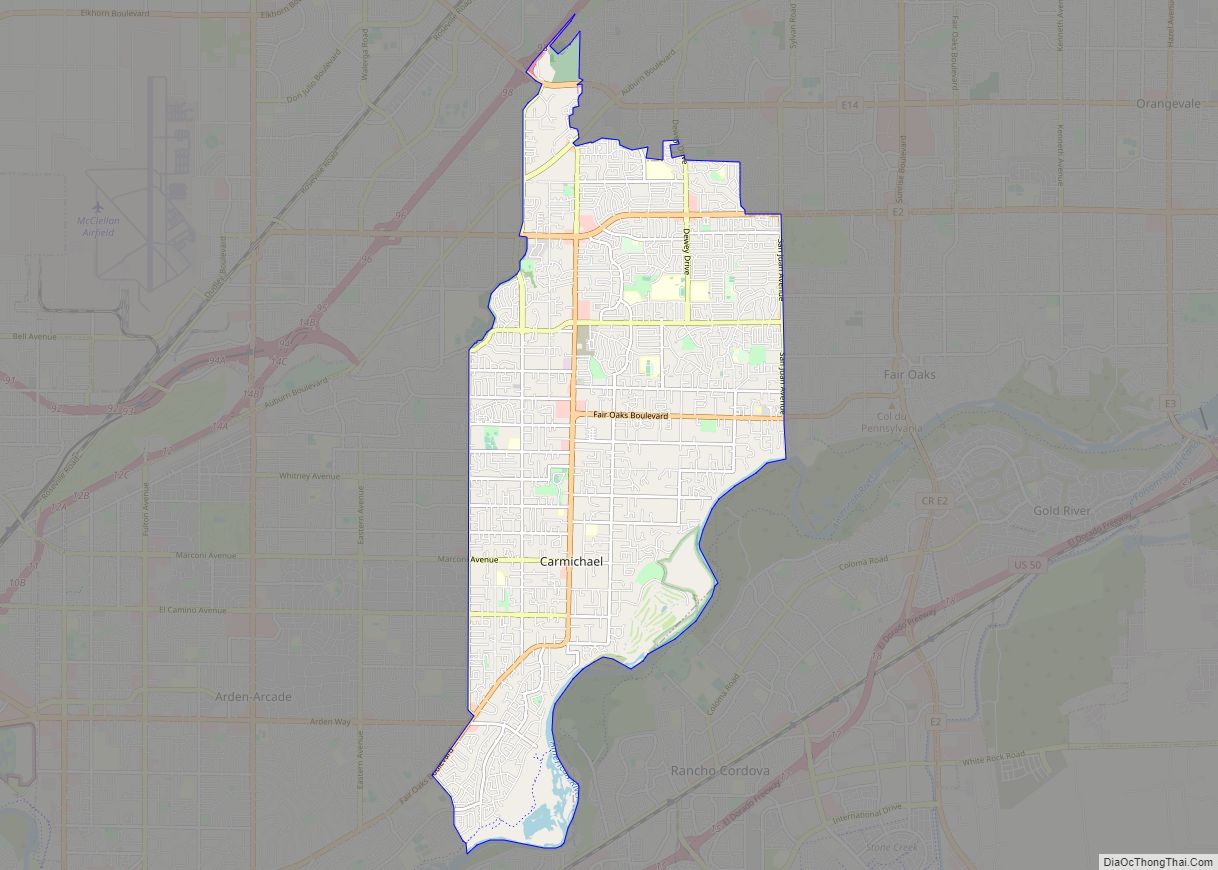
Carmichael is a census-designated place (CDP) in Sacramento County, California, United States. It is a suburb in the Greater Sacramento metropolitan area. The population was 79,793 at the 2020 census. Carmichael CDP overview: Name: Carmichael CDP LSAD Code: 57 LSAD Description: CDP (suffix) State: California County: Sacramento County Elevation: 125 ft (38 m) Total Area: 15.57 sq mi (40.32 km²) ... Read more
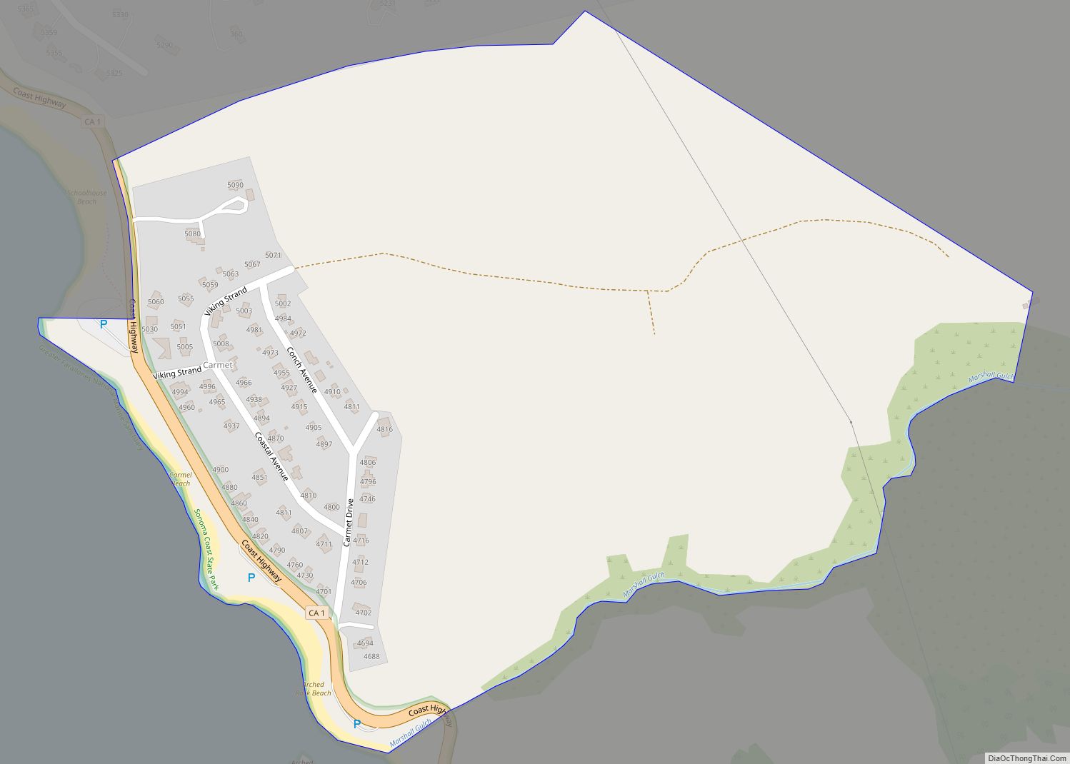
Carmet is a census-designated place (CDP) in Sonoma County, California. Carmet sits at an elevation of 180 feet (55 m). The 2010 United States census reported Carmet’s population was 47. Carmet CDP overview: Name: Carmet CDP LSAD Code: 57 LSAD Description: CDP (suffix) State: California County: Sonoma County Elevation: 180 ft (50 m) Total Area: 0.29 sq mi (0.74 km²) Land ... Read more
