Carmel-by-the-Sea (/kɑːrˈmɛl/), often simply called Carmel, is a city in Monterey County, California, United States, founded in 1902 and incorporated on October 31, 1916. Situated on the Monterey Peninsula, Carmel is known for its natural scenery and rich artistic history. In 1906, the San Francisco Call devoted a full page to the “artists, writers and poets at Carmel-by-the-Sea”, and in 1910 it reported that 60 percent of Carmel’s houses were built by citizens who were “devoting their lives to work connected to the aesthetic arts.” Early City Councils were dominated by artists, and several of the city’s mayors have been poets or actors, including Herbert Heron, founder of the Forest Theater, bohemian writer and actor Perry Newberry, and actor-director Clint Eastwood, who served as mayor from 1986 to 1988.
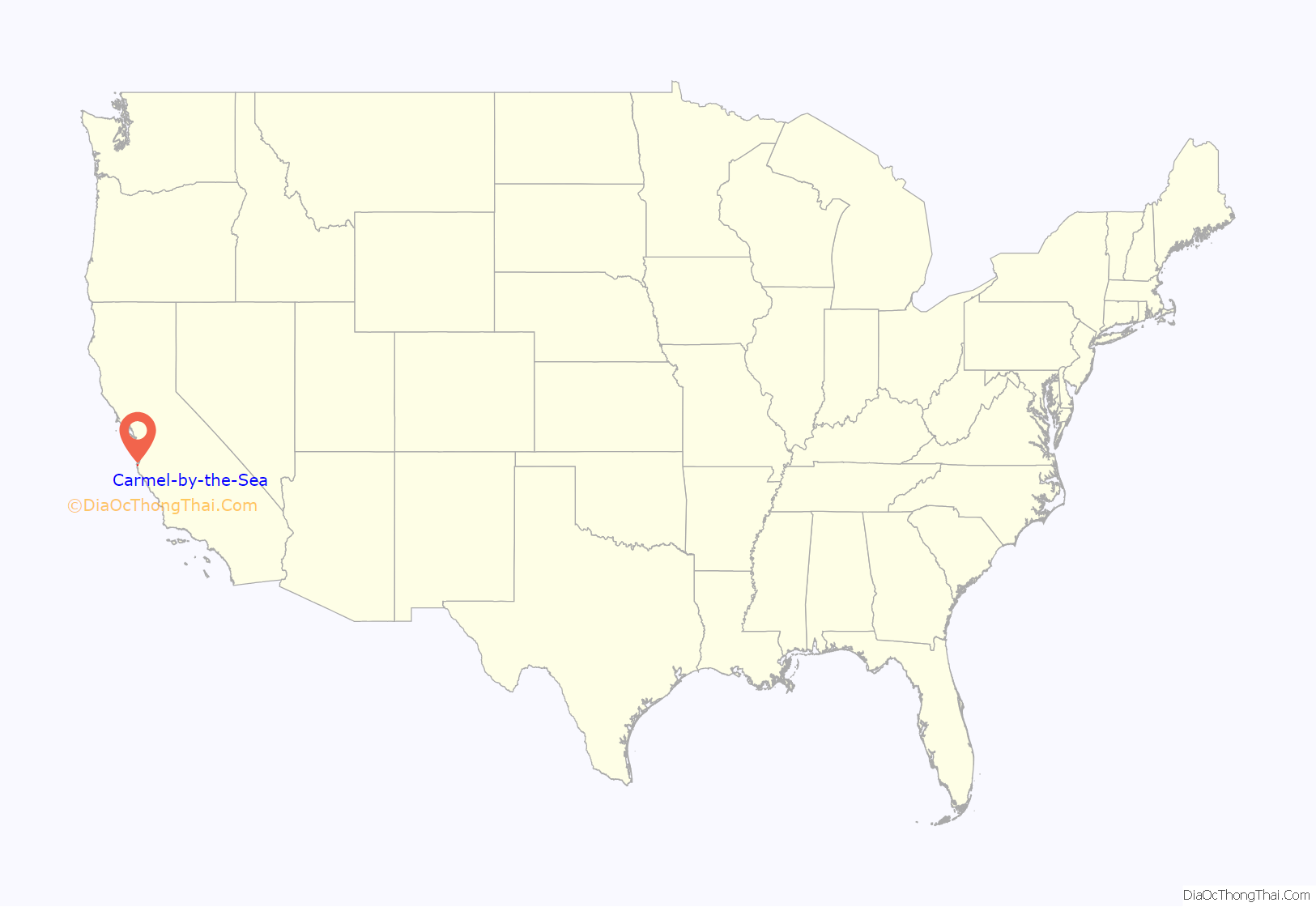
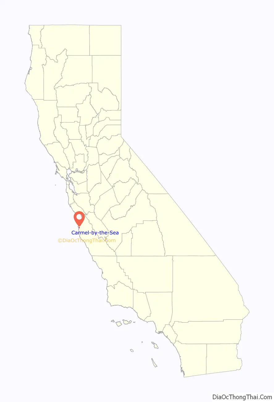
Carmel-by-the-Sea is located on the Pacific coast, about 300 miles (480 km) north of Los Angeles and 100 miles (160 km) south of San Francisco. Communities near Carmel-by-the-Sea include Carmel Valley and Carmel Highlands. The larger town of Monterey borders Carmel to the north.
As of the 2020 census, the town had a total population of 3,220, down from 3,722 at the 2010 census.
| Name: | Carmel-by-the-Sea city |
|---|---|
| LSAD Code: | 25 |
| LSAD Description: | city (suffix) |
| State: | California |
| County: | Monterey County |
| Incorporated: | October 31, 1916 |
| Elevation: | 223 ft (68 m) |
| Total Area: | 1.06 sq mi (2.75 km²) |
| Land Area: | 1.06 sq mi (2.75 km²) |
| Water Area: | 0.00 sq mi (0.00 km²) 0% |
| Total Population: | 3,220 |
| Population Density: | 3,034.87/sq mi (1,171.46/km²) |
| ZIP code: | 93921–93923 |
| Area code: | 831 |
| FIPS code: | 0611250 |
Online Interactive Map
Click on ![]() to view map in "full screen" mode.
to view map in "full screen" mode.
Carmel-by-the-Sea location map. Where is Carmel-by-the-Sea city?
History
Carmel-by-the-Sea is in an area permeated by Native American, Spanish, Mexican and American history. Most scholars believe that the Esselen-speaking people were the first Native Americans to inhabit the area of Carmel, but the Ohlone people pushed them south into the mountains of Big Sur around the 6th century.
Spanish Mission settlement
The first Europeans to see this land were Spanish mariners led by Juan Rodríguez Cabrillo in 1542, who sailed up the California coast without landing. Another sixty years passed before another Spanish explorer, Sebastián Vizcaíno discovered for Spain what is now known as Carmel Valley in 1602. It is thought that he named the river running through the valley Rio Carmelo in honor of the three Carmelite friars serving as chaplains for the voyage.
The Spanish did not attempt to colonize the area until 1770, when Gaspar de Portolá, along with Franciscan priests Junípero Serra and Juan Crespí, visited the area in search of a mission site. Portolà and Crespí traveled by land while Serra traveled with the Mission supplies aboard ship, arriving eight days later. The colony of Monterey was established at the same time as the second mission in Alta California and soon became the capital of California, remaining so until 1849. From the late 18th through the early 19th century most of the Ohlone population died out from European diseases (against which they had no immunity), as well as overwork and malnutrition at the missions where the Spanish forced them to live. When Mexico gained independence from Spain in 1821 Carmel became Mexican territory.
Mission San Carlos and Junípero Serra
Mission San Carlos Borromeo de Carmelo was founded on 3 June 1770 in the nearby settlement of Monterey, but was relocated to Carmel Valley by Junípero Serra due to interactions between soldiers stationed at the nearby Presidio and the native Indians.
In December 1771, the transfer was complete as the new stockade of approximately 130×200 became the new Mission Carmel. Simple buildings of plastered mud were the first church and dwellings until a more sturdy structure was built of wood from nearby pine and cypress trees to last through the seasonal rains. This too, was only a temporary church until a permanent stone edifice was built.
In 1784 Serra, after one last tour of all the California missions, died and was buried, at his request, at the Mission in the Sanctuary of the San Carlos Church, next to Crespí, who had passed the previous year. Serra was buried with full military honors.
Carmel Mission has importance beyond the history of Serra, who is sometimes called the “Father of California”. It also contains the state’s first library.
Township
Carmel became part of the United States in 1848, when Mexico ceded California as a result of the Mexican–American War.
In the 1850s, “Rancho Las Manzanitas”, the area that was to become Carmel-by-the-Sea, was purchased by French businessman Honoré Escolle. Escolle was well known and prosperous in the City of Monterey, owning the first commercial bakery, pottery kiln, and brickworks in Central California. His descendants, the Tomlinson-Del Piero Family, still live throughout the area.
William Martin of Scotland arrived in Monterey in 1856 by ship with his family. His son, John Martin (1827-1893), bought land around the Carmel River from Lafayette F. Loveland in 1859. He built the Martin Ranch on 216-acre (0.87 km) that went as far as the Carmel River to the homes along Carmel-by-the-Sea. The ranch became known as the Mission Ranch because it was so close to the Carmel Mission. They farmed potatoes and barley and had a milk dairy.
In 1888, Escolle and Santiago J. Duckworth, a young developer from Monterey with dreams of establishing a Catholic retreat near the Carmel Mission, filed a subdivision map with the County Recorder of Monterey County. By 1889, 200 lots had been sold. The name “Carmel” was earlier applied to another place on the north bank of the Carmel River 13 miles (21 km) east-southeast of the present-day Carmel. A post office called Carmel opened in 1889, closed in 1890, re-opened in 1893, moved in 1902, and closed for good in 1903. Abbie Jane Hunter, founder of the San Francisco-based Women’s Real Estate Investment Company, first used the name “Carmel-by-the-Sea” on a promotional postcard.
In 1902, James Franklin Devendorf and Frank Hubbard Powers, on behalf of the Carmel Development Company, filed a new subdivision map of the core village that became Carmel. They asked Michael J. Murphy to help build the houses. From 1902 to 1940, he built nearly 350 buildings in Carmel. The Carmel post office opened the same year. In 1899, Fritz Schweninger (1867-1918) opened the first bakery on Ocean Avenue, called the Carmel Bakery, which stands in its original location today. In 1910, the Carnegie Institution established the Coastal Laboratory, and a number of scientists moved to the area. Carmel incorporated in 1916. In 1925, Paul Aiken Flanders built the Flanders Mansion and used his home as a model for the Hatton Fields subdivision. The City of Carmel purchased the Flanders Mansion and adjoining 14.9 acres in 1972, from the Flanders heirs for $275,000. It has become part of the 34-acre Mission Trail Nature Preserve. Part of this property is now the Rowntree Native Plant Garden at 25800 Hatton Road.
In 1932, the city developed the Devendorf Park that occupies the block of Ocean Avenue and Junipero Street. The city park is Carmel’s central gathering place for outdoor events. The park is close to downtown shopping, the Carmel beach, and California State Route 1.
Arts colony
In 1905, the Carmel Arts and Crafts Club was formed to support and produce artistic works. After the 1906 San Francisco earthquake, the village was inundated with musicians, writers, painters and other creatives, all arriving to the growing artists’ colony after their bayside city was utterly devastated. These new residents were offered home lots – ten dollars as a down payment, little or no interest, and whatever they could afford to pay on a monthly basis.
Jack London described the artists’ colony in his novel The Valley of the Moon. Among the noted writers who lived in, or frequented, the village were Mary Austin, Nora May French, Robinson Jeffers, Sinclair Lewis, George Sterling and his protégé Clark Ashton Smith, and Upton Sinclair. Visual artists of Carmel in the early twentieth century included Anne Bremer, Ferdinand Burgdorff, E. Charlton Fortune, Arnold Genthe, Percy Gray, Armin Hansen, Alice MacGowan, Charles Rollo Peters, William Frederic Ritschel, and Sydney J. Yard.
The Carmel Arts and Crafts Club held exhibitions, lectures, dances, and produced plays and recitals at numerous locations in Carmel, including the Pine Inn Hotel, the Old Bath House on Ocean Ave, the Forest Theater, a small building in the downtown area donated by the Carmel Development Company, and finally, purchasing their own lot on Casanova Street, where they built their own clubhouse in 1907.
In 1911, the town became host to what became an ongoing tradition of presenting plays by Shakespeare with a production of Twelfth Night, directed by Garnet Holme of UC Berkeley and featuring future mayors Perry Newberry and Herbert Heron, with settings designed by artist Mary DeNeale Morgan. Twelfth Night was again presented in 1940 at Heron’s inaugural Carmel Shakespeare Festival, and was repeated in 1942 and 1956.
By 1914, the club had achieved national recognition, with an article in The Mercury Herald commenting that “a fever of activity seems to have seized the community and each newcomer is immediately inoculated and begins with great enthusiasm to do something … with plays, studios and studies”.
Carmel-by-the-Sea Road Map

Carmel-by-the-Sea city Satellite Map

Geography
Planning and environmental factors
The town has historically pursued a vigorous strategy of planned development to enhance its natural coastal beauty and to retain its character, which the city’s general plan describes as “a village in a forest overlooking a white sand beach”. Carmel-by-the-Sea was incorporated in the year 1916 and as early as 1925 the town adopted a clear vision of its future as “primarily, essentially and predominantly a residential community” (Carmel-by-the-Sea City Council, 1929). The city regularly hosts delegations from cities and towns around the world seeking to understand how the village retains its authenticity in today’s increasingly homogeneous world.
New buildings must be built around existing trees and new trees are required on lots that are deemed to have an inadequate number.
The one-square-mile village has no street lights or parking meters. In addition, the businesses, cottages and houses have no street numbers. (Originally, the early artists who were the first builders of the homes in the town, named their houses, rather than having numerical addresses.) Due to this situation, the Postal Service provides no delivery of mail to individual addresses. Instead, residents go to the centrally located post office to receive their mail. Overnight delivery services do deliver to what are called geographical addresses, such as “NE Ocean and Lincoln” (Harrison Memorial Library) or “Monte Verde 4SW of 8th” (Golden Bough Playhouse). The format used for geographical addressing lists the street, cross street, and the number of houses from the intersection. For example, in the case of “Monte Verde 4SW of 8th”, the address translates to a building on the west side of Monte Verde Street four properties south of the 8th Avenue intersection.
Planning has consistently recognized the importance of preserving the character of these major sociocultural and public facilities: Sunset Center, Golden Bough Playhouse, Forest Theater, Mission San Carlos Borromeo de Carmelo, Tor House and Hawk Tower, Harrison Memorial Library, and Carmel City Hall.
Carmel-by-the-Sea is situated in a moderate seismic risk zone, the principal threats being the San Andreas Fault, which is approximately thirty miles northeast, and the Palo Colorado Fault which traces offshore through the Pacific Ocean several miles away. More minor potentially active faults nearby are the Church Creek Fault and the San Francisquito Fault.
Marine protected areas
Carmel Pinnacles State Marine Reserve, Carmel Bay State Marine Conservation Area, Point Lobos State Marine Reserve and Point Lobos State Marine Conservation Area are marine protected areas in the waters around Carmel. Like underwater parks, these marine protected areas help conserve ocean wildlife and marine ecosystems.
Climate
Carmel-by-the-Sea experiences a cool summer Mediterranean climate (Köppen climate classification Csb) normal in coastal areas of California. Summers are typically mild, with overcast mornings produced by marine layer clouds which can bring drizzles that typically give way to clear skies in the afternoon.
September and October (Indian summer) offer the most pleasant weather of the year, with an average high of 72 °F (22 °C). The wet season is from October to May.
Average annual rainfall in Carmel-by-the-Sea is 20 inches (500 mm) per year, and the average temperature is 57 °F (14 °C).
See also
Map of California State and its subdivision:- Alameda
- Alpine
- Amador
- Butte
- Calaveras
- Colusa
- Contra Costa
- Del Norte
- El Dorado
- Fresno
- Glenn
- Humboldt
- Imperial
- Inyo
- Kern
- Kings
- Lake
- Lassen
- Los Angeles
- Madera
- Marin
- Mariposa
- Mendocino
- Merced
- Modoc
- Mono
- Monterey
- Napa
- Nevada
- Orange
- Placer
- Plumas
- Riverside
- Sacramento
- San Benito
- San Bernardino
- San Diego
- San Francisco
- San Joaquin
- San Luis Obispo
- San Mateo
- Santa Barbara
- Santa Clara
- Santa Cruz
- Shasta
- Sierra
- Siskiyou
- Solano
- Sonoma
- Stanislaus
- Sutter
- Tehama
- Trinity
- Tulare
- Tuolumne
- Ventura
- Yolo
- Yuba
- Alabama
- Alaska
- Arizona
- Arkansas
- California
- Colorado
- Connecticut
- Delaware
- District of Columbia
- Florida
- Georgia
- Hawaii
- Idaho
- Illinois
- Indiana
- Iowa
- Kansas
- Kentucky
- Louisiana
- Maine
- Maryland
- Massachusetts
- Michigan
- Minnesota
- Mississippi
- Missouri
- Montana
- Nebraska
- Nevada
- New Hampshire
- New Jersey
- New Mexico
- New York
- North Carolina
- North Dakota
- Ohio
- Oklahoma
- Oregon
- Pennsylvania
- Rhode Island
- South Carolina
- South Dakota
- Tennessee
- Texas
- Utah
- Vermont
- Virginia
- Washington
- West Virginia
- Wisconsin
- Wyoming


