Capitola is a small seaside town in Santa Cruz County, California. Capitola is located on the northern shores of Monterey Bay, on the Central Coast of California. The city had a population of 9,938 at the 2020 census. Capitola is a popular tourist destination, owing to its beaches and restaurants.
| Name: | Capitola city |
|---|---|
| LSAD Code: | 25 |
| LSAD Description: | city (suffix) |
| State: | California |
| County: | Santa Cruz County |
| Incorporated: | January 11, 1949 |
| Elevation: | 13 ft (4 m) |
| Total Area: | 1.68 sq mi (4.34 km²) |
| Land Area: | 1.59 sq mi (4.13 km²) |
| Water Area: | 0.08 sq mi (0.21 km²) 4.92% |
| Total Population: | 9,938 |
| Population Density: | 6,234.63/sq mi (2,406.54/km²) |
| ZIP code: | 95010, 95062 |
| Area code: | 831 |
| FIPS code: | 0611040 |
Online Interactive Map
Click on ![]() to view map in "full screen" mode.
to view map in "full screen" mode.
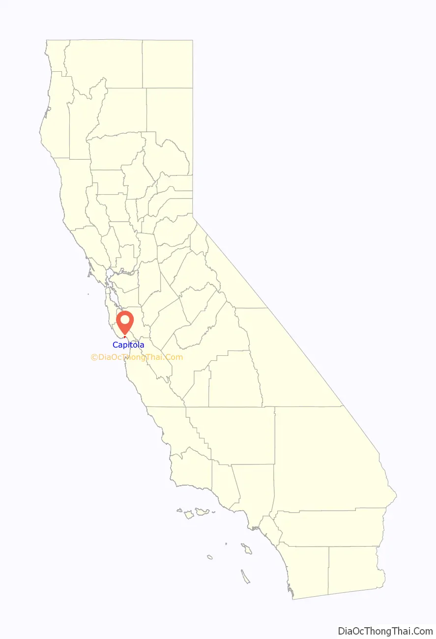
Capitola location map. Where is Capitola city?

History
The original settlement now known as Capitola grew out of what was then called Soquel Landing. Soquel Landing got its name from a wharf located at the mouth of Soquel Creek. This wharf, which dates back to the 1850s, served as an outlet for the produce and lumber grown in the interior. In 1865, Captain John Pope Davenport, a whaleman at Monterey, moved his operations to be near the wharf. Unable to capture any whales, he moved his operations the following year to Point Año Nuevo.
In 1869, Frederick A. Hihn, who owned the property in the vicinity of the wharf, decided to develop it as a seaside resort. At first he leased the area to Samuel A. Hall and the area became known as Camp Capitola. Most authorities believe that it was Hihn who chose the name of Capitola, but they are unsure as to why he did so. Several possibilities have been asserted, one being that it was named for the heroine of The Hidden Hand, a novel by the popular author E. D. E. N. Southworth, favored by Hall’s daughter Lulu. Capitola is known as the oldest beach resort on the West Coast.
In the summer of 1961 hundreds of birds attacked the town. Most of the birds were sooty shearwaters, a normally non-aggressive species that rarely comes to shore. Alfred Hitchcock was a regular visitor to nearby Santa Cruz and read about this episode. He went on to direct a film—The Birds—based on the idea of hundreds of birds attacking humans. The reason for this attack remained unknown for over 25 years until it was discovered that the birds had been affected by domoic acid, a toxin produced by red algae.
The Capitola Classic was a skateboarding event held in Capitola village in the late 1970s and early 1980s. The Capitola Classic was known in skating circles for its annual downhill race, which was a head-to-head speed competition that drew top names in the sport, many local as well as international, including Santa Cruz, California local John Hutson, who held the world speed record for skateboarding at 53.45 mph and dominated the event each year. Starting in 2009 efforts were made to revive the event.
On March 24, 2011, a drainage pipe burst following heavy rains, sending a surge of water through the historic village area. Two days later cleanup operations were interrupted when the area was flooded again.
Capitola Road Map

Capitola city Satellite Map

Geography
Capitola Village is located at the beach by the mouth of Soquel Creek.
According to the United States Census Bureau, the city has a total area of 1.7 square miles (4.4 square kilometers), of which 1.6 square miles (4.1 km) is land and 0.1 square miles (0.26 km) (4.92%) is water.
Capitola sits on the northeast shore of Monterey Bay. Cliffs mark access to several popular beaches, including New Brighton Beach, or drop directly to the rocky shoreline of the bay. Capitola Village sits in a depression among the cliffs so that the popular tourist and shopping area leads directly to Capitola Beach. Colorful houses and hotels line the slopes of the town leading back up to the clifftops.
The historic Venetian Court sits on the beach just east of the pier and is on the Register of National Historic Places as “The first Condominium Beach Community in the United States, built in 1924”.
Climate
Capitola has mild weather throughout the year, enjoying a Mediterranean climate (Köppen Csb) characterized by cool, wet winters and warm, mostly dry summers. Due to its proximity to Monterey Bay, fog and low overcast are common during the night and morning hours, especially in the summer.
See also
Map of California State and its subdivision:- Alameda
- Alpine
- Amador
- Butte
- Calaveras
- Colusa
- Contra Costa
- Del Norte
- El Dorado
- Fresno
- Glenn
- Humboldt
- Imperial
- Inyo
- Kern
- Kings
- Lake
- Lassen
- Los Angeles
- Madera
- Marin
- Mariposa
- Mendocino
- Merced
- Modoc
- Mono
- Monterey
- Napa
- Nevada
- Orange
- Placer
- Plumas
- Riverside
- Sacramento
- San Benito
- San Bernardino
- San Diego
- San Francisco
- San Joaquin
- San Luis Obispo
- San Mateo
- Santa Barbara
- Santa Clara
- Santa Cruz
- Shasta
- Sierra
- Siskiyou
- Solano
- Sonoma
- Stanislaus
- Sutter
- Tehama
- Trinity
- Tulare
- Tuolumne
- Ventura
- Yolo
- Yuba
- Alabama
- Alaska
- Arizona
- Arkansas
- California
- Colorado
- Connecticut
- Delaware
- District of Columbia
- Florida
- Georgia
- Hawaii
- Idaho
- Illinois
- Indiana
- Iowa
- Kansas
- Kentucky
- Louisiana
- Maine
- Maryland
- Massachusetts
- Michigan
- Minnesota
- Mississippi
- Missouri
- Montana
- Nebraska
- Nevada
- New Hampshire
- New Jersey
- New Mexico
- New York
- North Carolina
- North Dakota
- Ohio
- Oklahoma
- Oregon
- Pennsylvania
- Rhode Island
- South Carolina
- South Dakota
- Tennessee
- Texas
- Utah
- Vermont
- Virginia
- Washington
- West Virginia
- Wisconsin
- Wyoming


