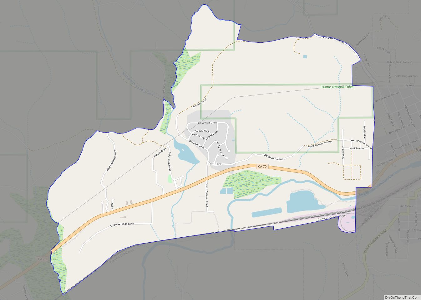
Map of Descanso CDP

Map of Descanso CDP

Descanso (Spanish for “Rest”; Kumeyaay: Wataay) is a small unincorporated community in the Cuyamaca Mountains, within the Mountain Empire area of southeastern San Diego County, California. The community’s name is a Spanish word meaning “rest from labor”. The population was 1,423 at the 2010 census. For statistical purposes, the United States Census Bureau as designated … Read more

Map of Desert Edge CDP

Map of Desert Edge CDP

Desert Edge is a census-designated place in Riverside County, California, United States. Desert Edge sits at an elevation of 994 feet (303 m). The 2010 United States census reported Desert Edge’s population was 3,822. Desert Edge CDP overview: Name: Desert Edge CDP LSAD Code: 57 LSAD Description: CDP (suffix) State: California County: Riverside County Elevation: 994 ft … Read more

Map of Desert Center CDP

Map of Desert Center CDP

Desert Center is a census designated place in the Colorado Desert in Riverside County, California. It is in southern California, between the cities of Indio and Blythe at the junction of Interstate 10 and State Route 177, about halfway between Phoenix and Los Angeles. The ZIP Code is 92239, and the community is in telephone … Read more

Map of Desert Shores CDP

Map of Desert Shores CDP

Desert Shores (formerly Fish Springs) is a census-designated place (CDP) in Imperial County, California, US. It is part of the El Centro Metropolitan Statistical Area. Desert Shores CDP overview: Name: Desert Shores CDP LSAD Code: 57 LSAD Description: CDP (suffix) State: California County: Imperial County Elevation: −200 ft (−60 m) Total Area: 0.81 sq mi (2.10 km²) Land Area: 0.70 sq mi … Read more

Map of Desert Palms CDP

Map of Desert Palms CDP

Desert Palms is a census-designated place in the Coachella Valley of eastern Riverside County, southern California. Desert Palms CDP overview: Name: Desert Palms CDP LSAD Code: 57 LSAD Description: CDP (suffix) State: California County: Riverside County Elevation: 112 ft (34 m) Total Area: 2.67 sq mi (6.92 km²) Land Area: 2.67 sq mi (6.92 km²) Water Area: 0.00 sq mi (0.00 km²)  0.03% Total Population: 6,686 … Read more

Map of Desert Hot Springs city

Map of Desert Hot Springs city

Desert Hot Springs is a city in Riverside County, California, United States. The city is located within the Coachella Valley geographic region. The population was 25,938 at the 2010 census, up from 16,582 at the 2000 census. The city has experienced rapid growth since the 1970s when there were 2,700 residents. It is named for … Read more

Map of Diablo CDP

Map of Diablo CDP

Diablo (Spanish for “Devil”) is a census-designated place (CDP) in Contra Costa County, California, United States. The population was 1,158 at the 2010 census. It is located 2.5 miles (4.0 km) east-northeast of Danville. Diablo CDP overview: Name: Diablo CDP LSAD Code: 57 LSAD Description: CDP (suffix) State: California County: Contra Costa County Elevation: 528 ft (161 m) … Read more

Map of Diablo Grande CDP

Map of Diablo Grande CDP

Diablo Grande is a census-designated place (CDP) in Stanislaus County, California. It is a gated bedroom community nestled in the Diablo Range, whence it gets its name. Diablo Grande sits at an elevation of 1,535 feet (468 m). It is about 9 miles (14 km) southwest of Patterson. The 2010 United States census reported Diablo Grande’s population … Read more

Map of Desert View Highlands CDP

Map of Desert View Highlands CDP

Desert View Highlands is a census-designated place (CDP) in Los Angeles County, California, United States. The population was 2,360 at the 2010 census, up from 2,337 at the 2000 census. It is surrounded by the City of Palmdale. Desert View Highlands CDP overview: Name: Desert View Highlands CDP LSAD Code: 57 LSAD Description: CDP (suffix) … Read more

Map of Dillon Beach CDP

Map of Dillon Beach CDP

Dillon Beach is a census-designated place (CDP) in Marin County, California, United States. It is located 3.25 miles (5.2 km) west of Tomales, at an elevation of 89 ft (27 m). The population was 246 at the 2020 census. Dillon Beach was named after the founder, George Dillon, who settled there in 1858. The area includes a public … Read more

Map of Diamond Springs CDP

Map of Diamond Springs CDP

Diamond Springs (formerly, Diamond Spring and Diamond) is a census-designated place (CDP) in El Dorado County, California, United States. It is part of the Sacramento–Arden-Arcade–Roseville Metropolitan Statistical Area. The population was 11,037 at the 2010 census, up from 4,888 at the 2000 census. The town is registered as California Historical Landmark number 487. It lies … Read more

Map of Diamond Bar city

Map of Diamond Bar city

Diamond Bar is a city in eastern Los Angeles County, California, United States. At the 2010 census it had a population of 55,544, and in 2019 the population was estimated to be 55,720. It is named after the “diamond over a bar” branding iron registered in 1918 by ranch owner Frederic E. Lewis (1884–1963). The … Read more