Diamond Springs (formerly, Diamond Spring and Diamond) is a census-designated place (CDP) in El Dorado County, California, United States. It is part of the Sacramento–Arden-Arcade–Roseville Metropolitan Statistical Area. The population was 11,037 at the 2010 census, up from 4,888 at the 2000 census. The town is registered as California Historical Landmark number 487. It lies at an elevation of 1791 feet (546 m).
| Name: | Diamond Springs CDP |
|---|---|
| LSAD Code: | 57 |
| LSAD Description: | CDP (suffix) |
| State: | California |
| County: | El Dorado County |
| Elevation: | 1,791 ft (546 m) |
| Total Area: | 16.71 sq mi (43.29 km²) |
| Land Area: | 16.64 sq mi (43.10 km²) |
| Water Area: | 0.07 sq mi (0.19 km²) 0.42% |
| Total Population: | 11,345 |
| Population Density: | 681.79/sq mi (263.24/km²) |
| ZIP code: | 95619 |
| Area code: | 530 |
| FIPS code: | 0619220 |
| GNISfeature ID: | 0277499 |
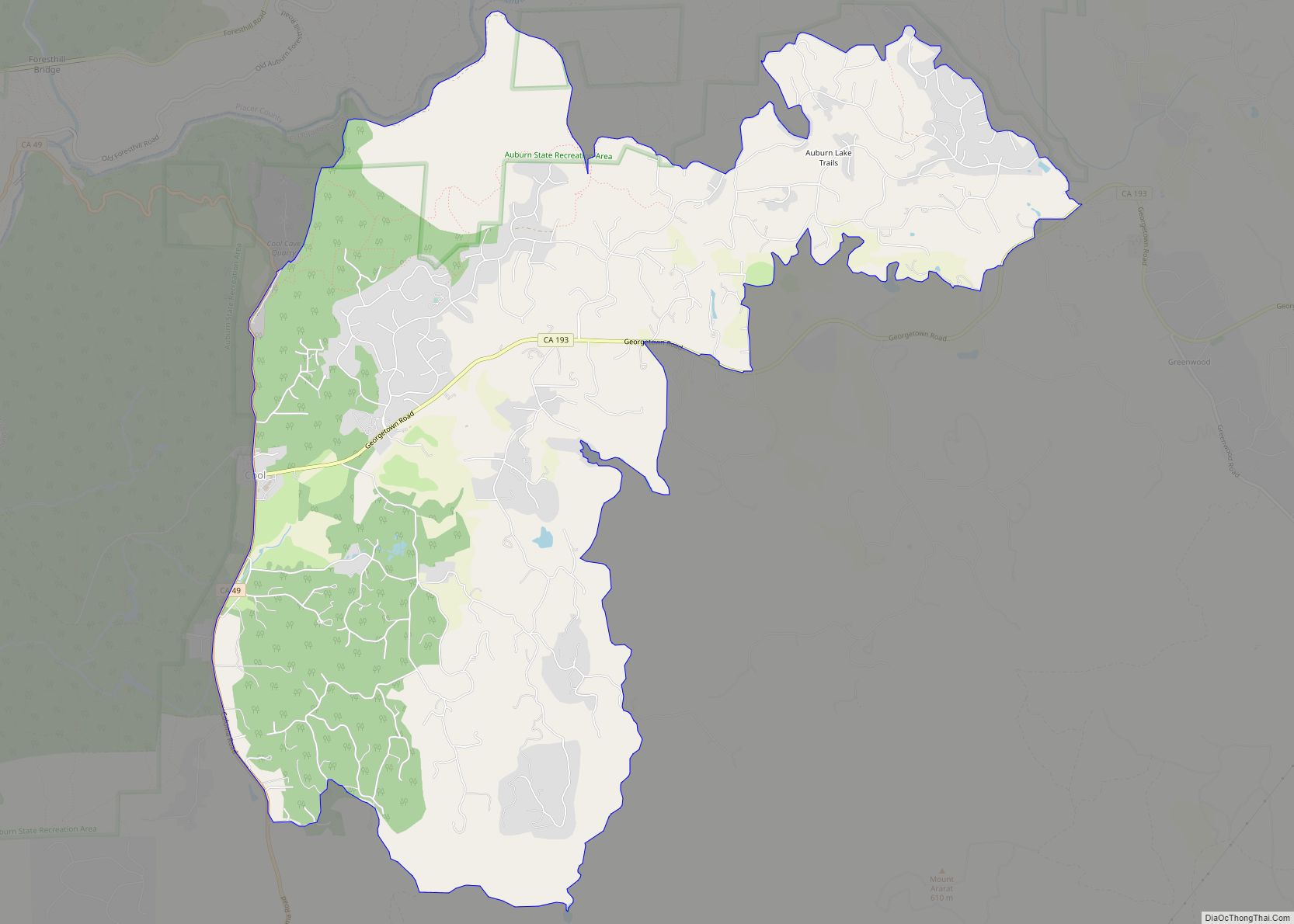
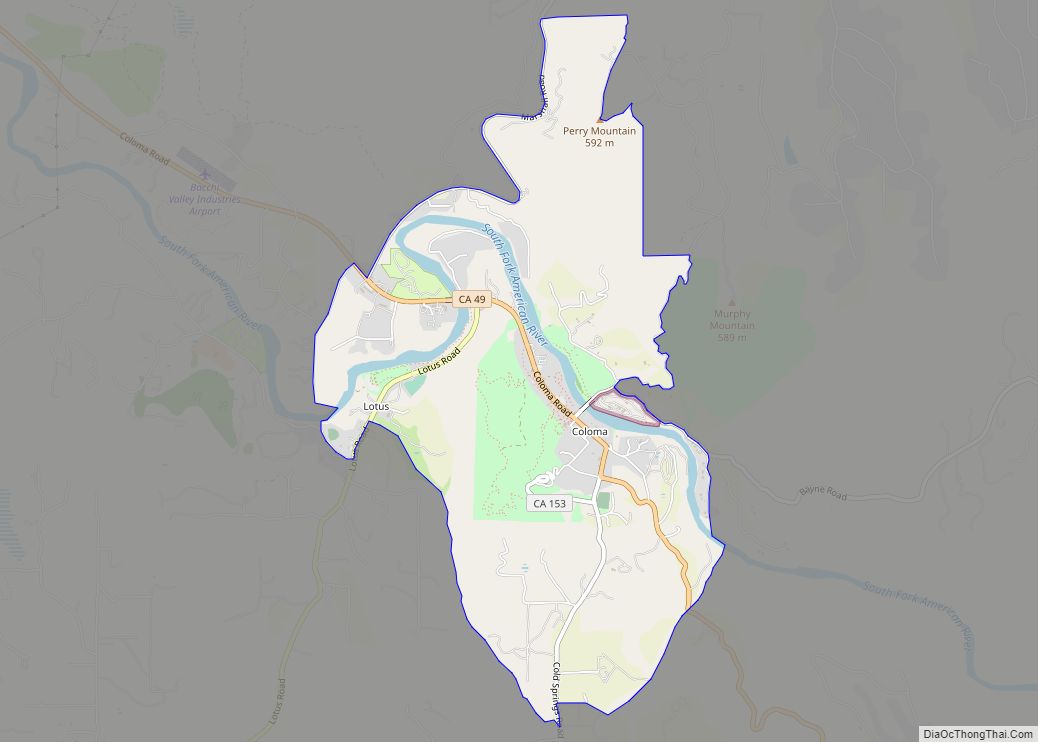
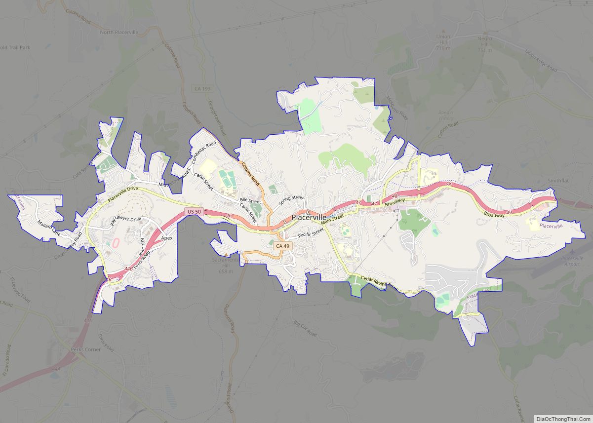
Online Interactive Map
Click on ![]() to view map in "full screen" mode.
to view map in "full screen" mode.
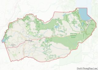
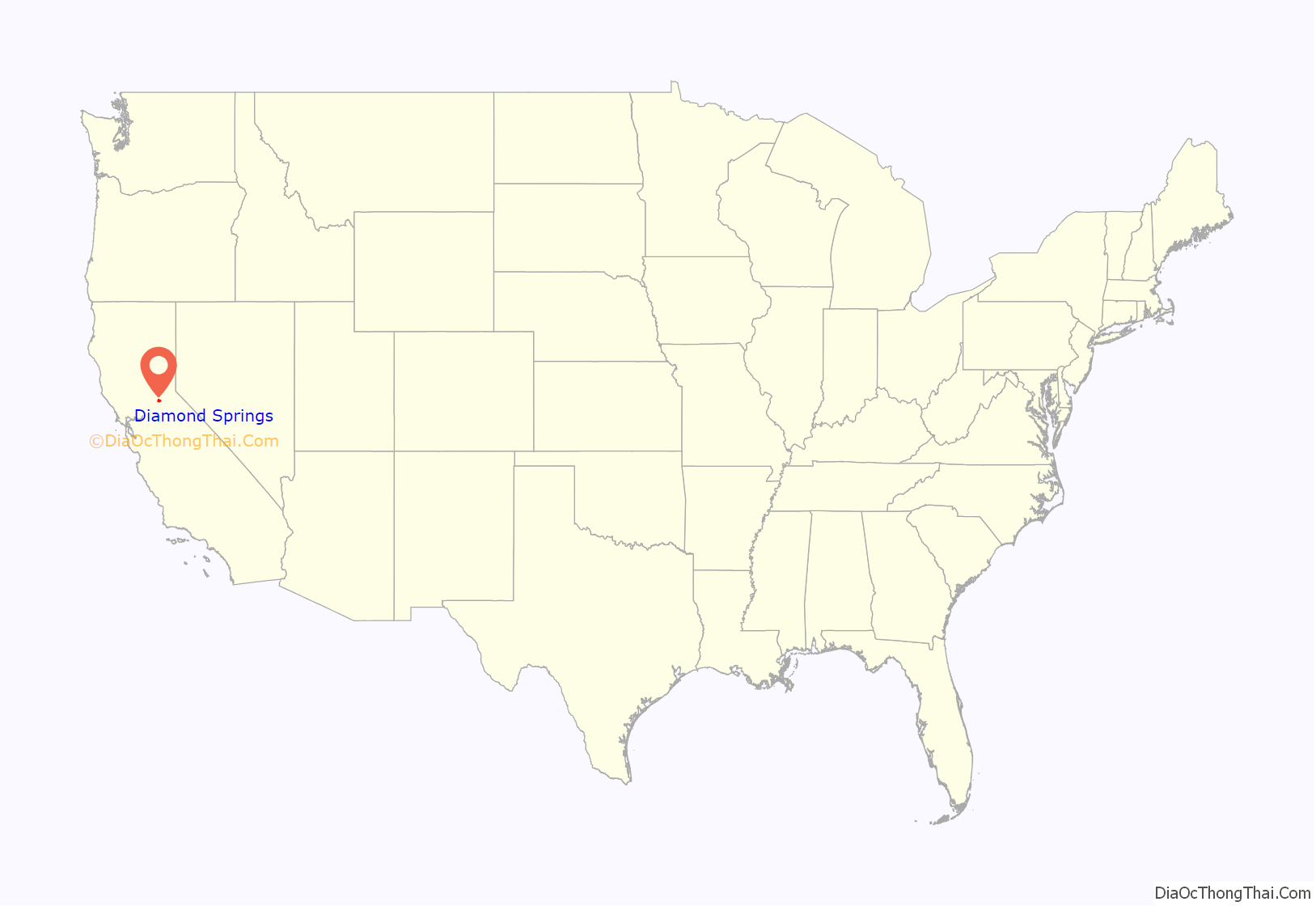
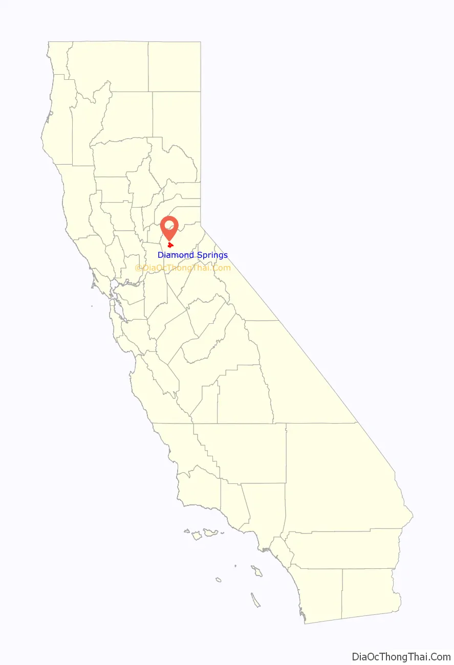
Diamond Springs location map. Where is Diamond Springs CDP?
History
This town, settled in 1848, derived its name from its crystal clear springs. Among the most gold-rich locations in the region, the area produced a 25-pound nugget, one of the largest ever found in El Dorado County. Its most thriving period was in 1851 and, through its lumber, lime production, and agriculture, Diamond Springs has retained some of its early importance.
A post office was established at Diamond Spring in 1853; the name was changed to Diamond Springs in 1950.
Diamond Springs Road Map
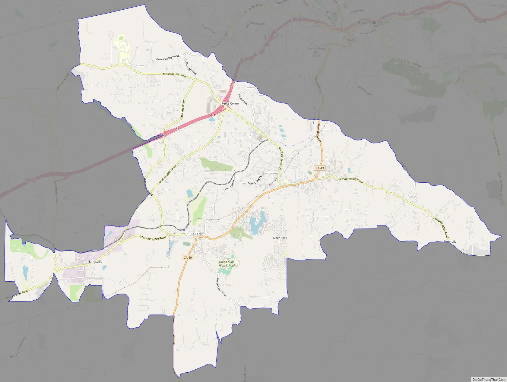
Diamond Springs city Satellite Map

Geography
According to the United States Census Bureau, the CDP has a total area of 16.7 square miles (43 km), of which, 16.6 square miles (43 km) of it is land and 0.1 square miles (0.26 km) of it (0.42%) is water.
See also
Map of California State and its subdivision:- Alameda
- Alpine
- Amador
- Butte
- Calaveras
- Colusa
- Contra Costa
- Del Norte
- El Dorado
- Fresno
- Glenn
- Humboldt
- Imperial
- Inyo
- Kern
- Kings
- Lake
- Lassen
- Los Angeles
- Madera
- Marin
- Mariposa
- Mendocino
- Merced
- Modoc
- Mono
- Monterey
- Napa
- Nevada
- Orange
- Placer
- Plumas
- Riverside
- Sacramento
- San Benito
- San Bernardino
- San Diego
- San Francisco
- San Joaquin
- San Luis Obispo
- San Mateo
- Santa Barbara
- Santa Clara
- Santa Cruz
- Shasta
- Sierra
- Siskiyou
- Solano
- Sonoma
- Stanislaus
- Sutter
- Tehama
- Trinity
- Tulare
- Tuolumne
- Ventura
- Yolo
- Yuba
- Alabama
- Alaska
- Arizona
- Arkansas
- California
- Colorado
- Connecticut
- Delaware
- District of Columbia
- Florida
- Georgia
- Hawaii
- Idaho
- Illinois
- Indiana
- Iowa
- Kansas
- Kentucky
- Louisiana
- Maine
- Maryland
- Massachusetts
- Michigan
- Minnesota
- Mississippi
- Missouri
- Montana
- Nebraska
- Nevada
- New Hampshire
- New Jersey
- New Mexico
- New York
- North Carolina
- North Dakota
- Ohio
- Oklahoma
- Oregon
- Pennsylvania
- Rhode Island
- South Carolina
- South Dakota
- Tennessee
- Texas
- Utah
- Vermont
- Virginia
- Washington
- West Virginia
- Wisconsin
- Wyoming