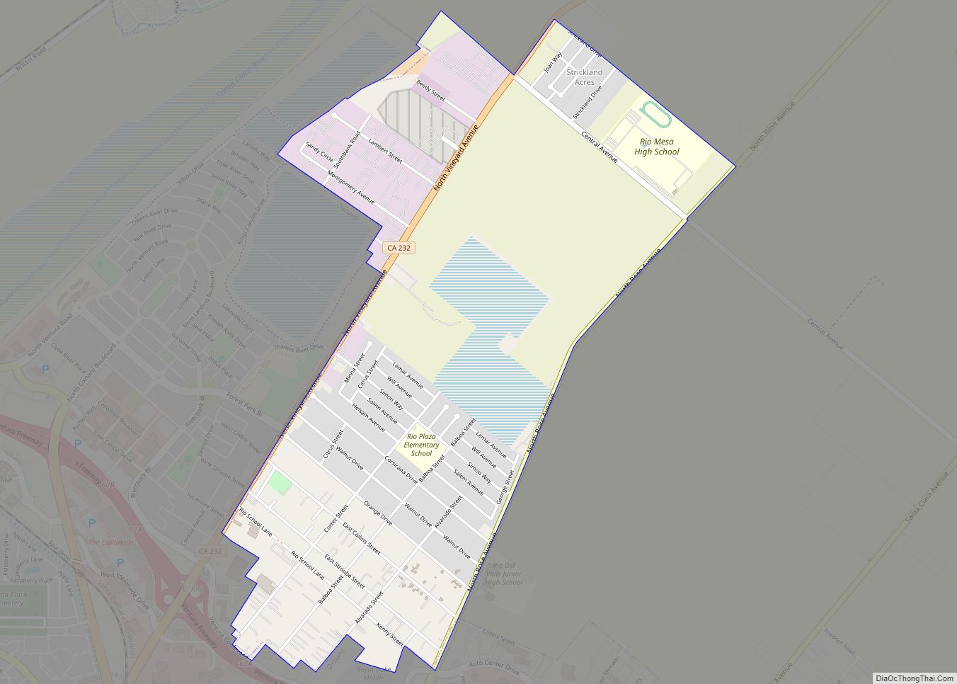
El Rio (/ɛl ˈriːoʊ/ (listen); Spanish: El Río, meaning “The River”) is a small, rural unincorporated town in Ventura County, California, United States, on the northeast side of the 101 Freeway and Oxnard, and south of the Santa Clara River. The town was founded in 1875 and named New Jerusalem by the owner of general ... Read more
California Cities and Places
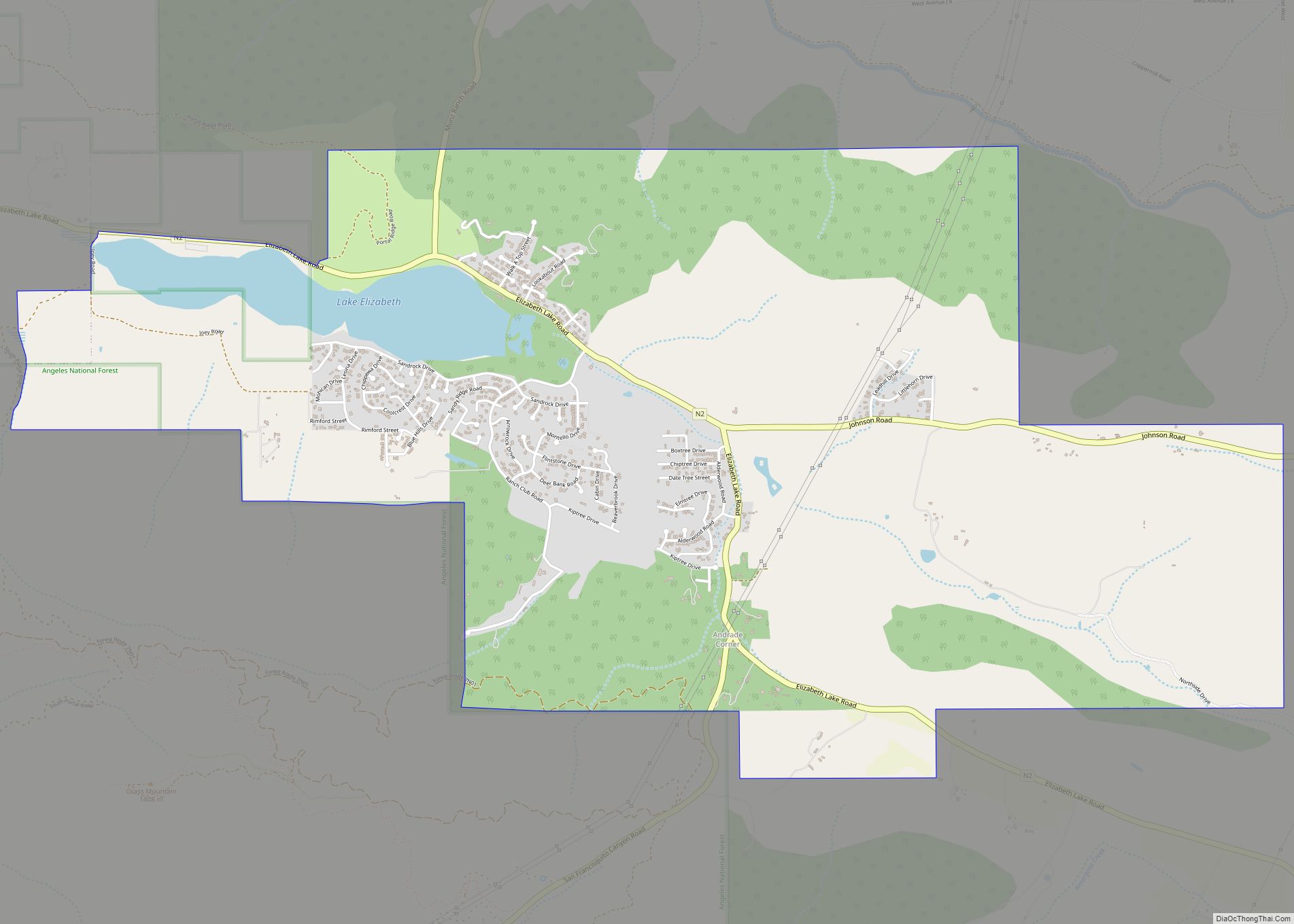
Elizabeth Lake is a census-designated place (CDP) and unincorporated community on Elizabeth Lake (lake), in Los Angeles County, California, United States. As of the 2010 census it had a population of 1,756. Elizabeth Lake CDP overview: Name: Elizabeth Lake CDP LSAD Code: 57 LSAD Description: CDP (suffix) State: California County: Los Angeles County Elevation: 3,389 ft ... Read more
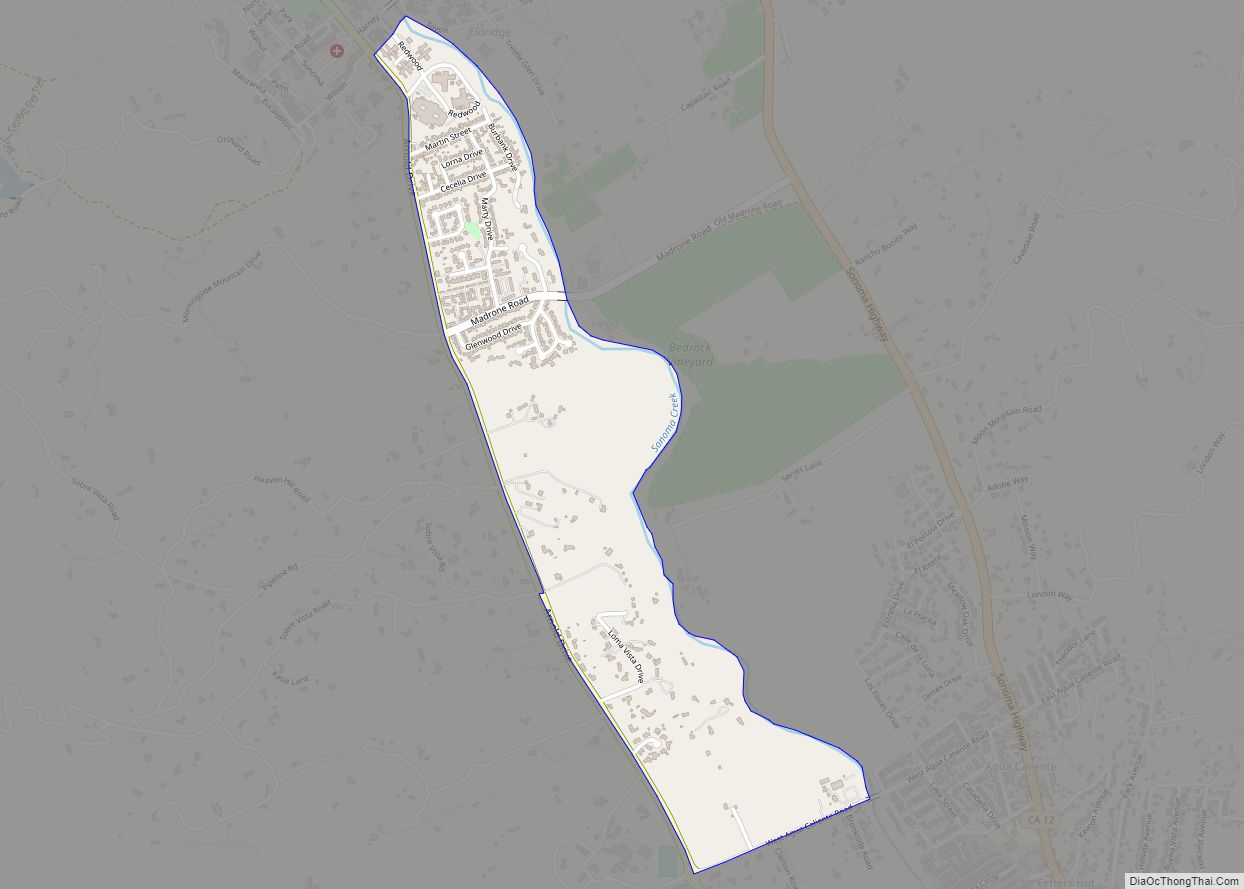
Eldridge is a census-designated place (CDP) in Sonoma County, California, United States. The population was 1,233 at the 2010 census. It is notably the home to the Sonoma Developmental Center, the largest facility serving the needs of persons with developmental disabilities in the state. Eldridge CDP overview: Name: Eldridge CDP LSAD Code: 57 LSAD Description: ... Read more
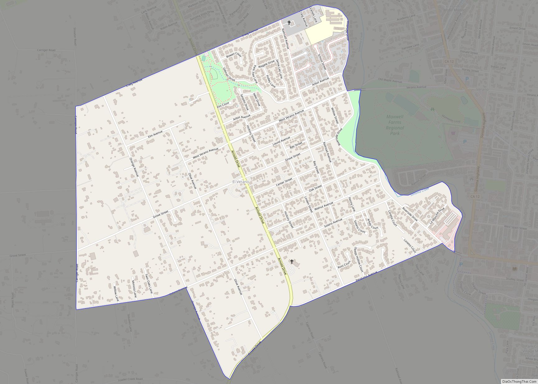
El Verano (Spanish for “The Summer”) is a census-designated place (CDP) in Sonoma Valley, Sonoma County, California, United States. The population was 4,123 at the 2010 census, falling to 3,867 at the 2020 census. El Verano CDP overview: Name: El Verano CDP LSAD Code: 57 LSAD Description: CDP (suffix) State: California County: Sonoma County Elevation: ... Read more
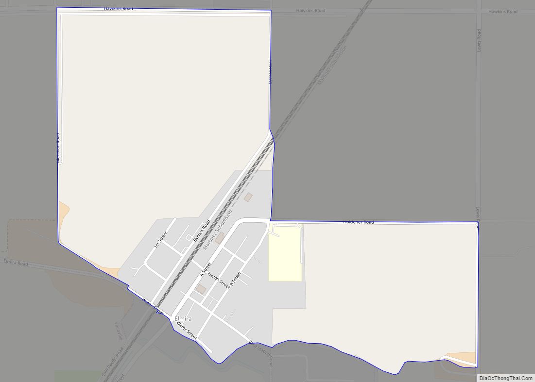
Elmira is a census-designated place (CDP) in Solano County, California, United States. The population was 188 at the 2010 census. Elmira CDP overview: Name: Elmira CDP LSAD Code: 57 LSAD Description: CDP (suffix) State: California County: Solano County Elevation: 75 ft (23 m) Total Area: 0.531 sq mi (1.376 km²) Land Area: 0.531 sq mi (1.376 km²) Water Area: 0 sq mi (0 km²) 0% Total ... Read more
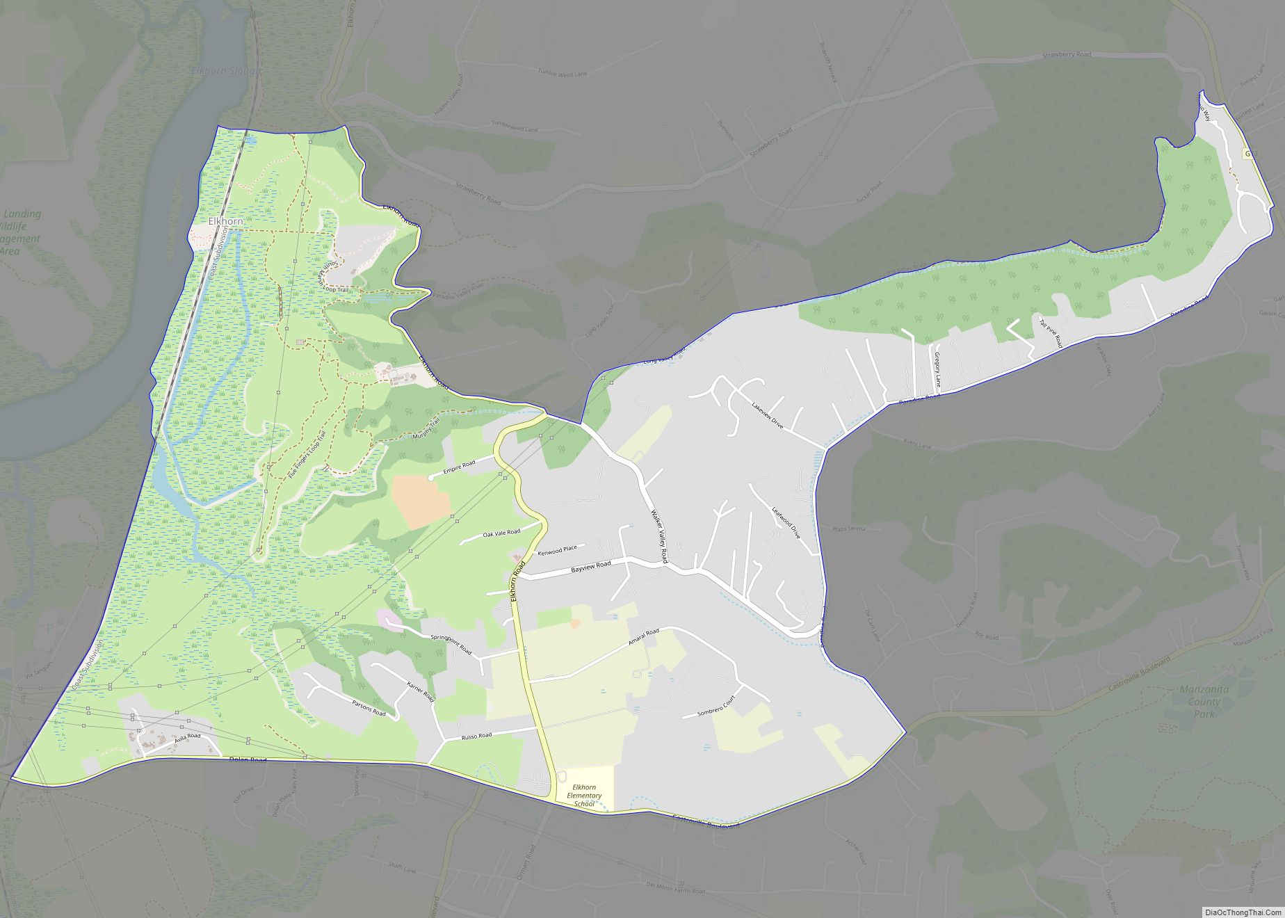
Elkhorn is an unincorporated community and census-designated place (CDP) in Monterey County, California, United States. Elkhorn was originally a stop on the Southern Pacific Railroad 4 miles (6 km) north of Castroville, at an elevation of 10 feet (3.0 m). The settled part of the community now occupies the hills to the east of the railroad. The ... Read more
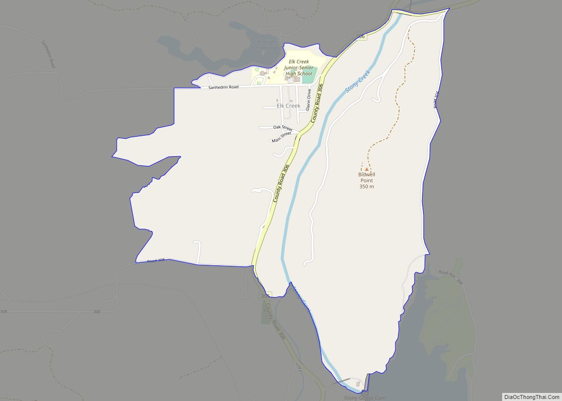
Elk Creek is a census-designated place in Glenn County, California. It is located 19 miles (31 km) northwest of Willows, at an elevation of 745 feet (227 m). The 2010 census reported that Elk Creek’s population was 163. It is home to the smallest public high school in California, which has an enrollment of about 35 ... Read more
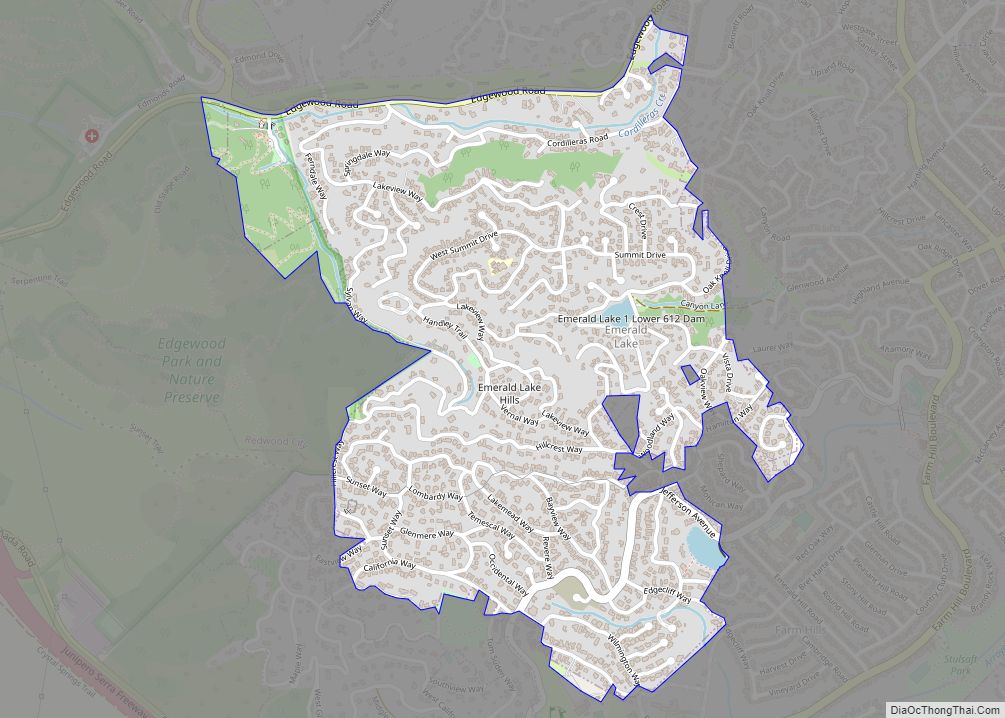
Emerald Lake Hills or Emerald Hills is a census-designated place and neighborhood in unincorporated San Mateo County, in the state of California, United States. Situated among oak-studded hills between Woodside, Redwood City, and San Carlos roughly bounded by Edgewood Road, Alameda de las Pulgas, Farm Hill Boulevard, and Interstate 280. The population was 4,406 at ... Read more
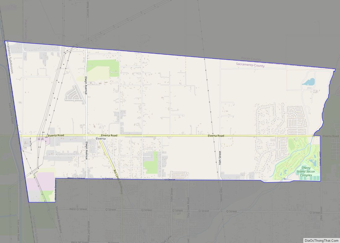
Elverta is a census-designated place in Sacramento County, California. It is part of the Sacramento metropolitan area, which includes Sacramento (the state capital and county seat), Arden-Arcade, and Roseville. It is about 20 miles (32 km) from Sacramento, 2.5 miles (4.0 km) from Rio Linda, 6 miles (9.7 km) from Roseville, and 8.0 miles (12.9 km) from Antelope. The ... Read more
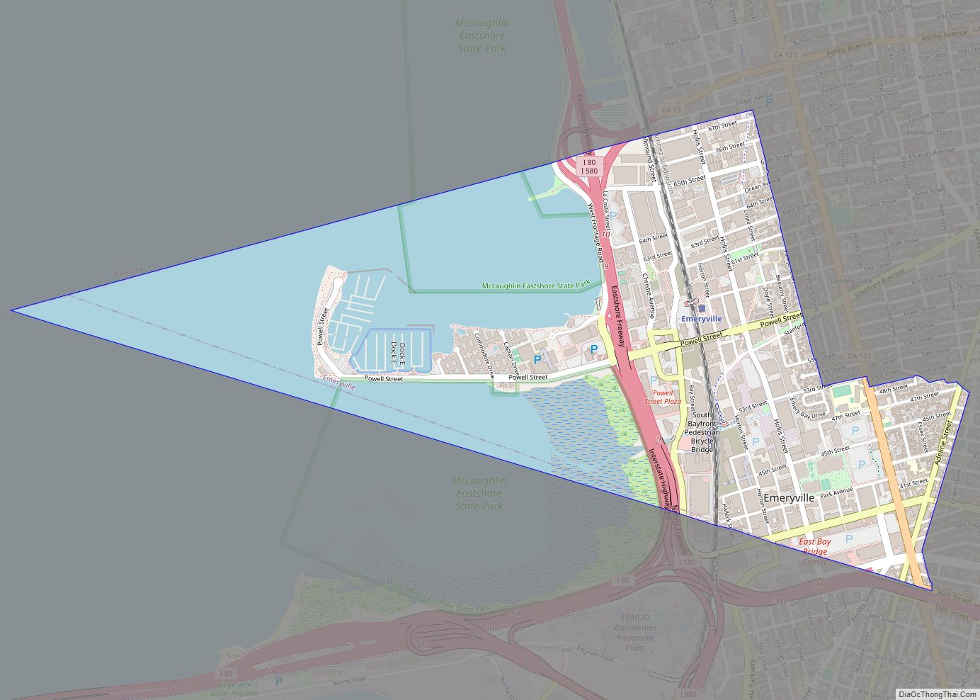
Emeryville is a city located in northwest Alameda County, California, in the United States. It lies in a corridor between the cities of Berkeley and Oakland, with a border on the shore of San Francisco Bay. The resident population was 12,905 as of 2020. Its proximity to San Francisco, the Bay Bridge, the University of ... Read more
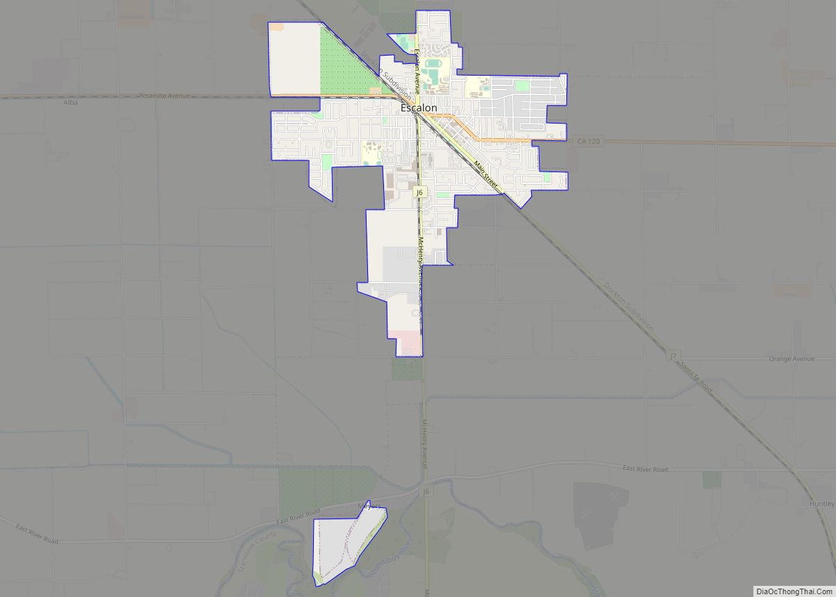
Escalon (Spanish: Escalón, meaning “Step”) is a city in San Joaquin County, California, United States. The population was 7,132 at the 2010 census, up from 5,963 at the 2000 census. Escalon is a Spanish word meaning “stepping stones.” The name comes from founder James Wheeler Jones who came upon the name in a book in ... Read more
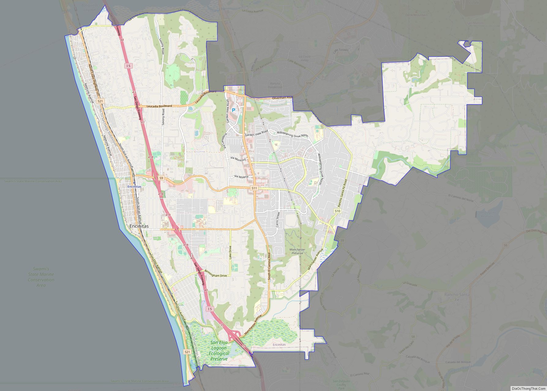
Encinitas (Spanish for “Small Oaks”) is a beach city in the North County area of San Diego County, California. Located within Southern California, it is approximately 25 miles (40 km) north of San Diego, between Solana Beach and Carlsbad, and about 95 miles (153 km) south of Los Angeles. As of the 2020 United States census, the ... Read more
