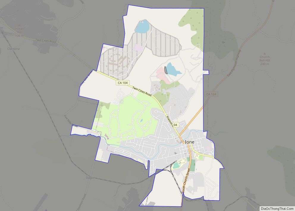
Map of Ivanhoe CDP

Map of Ivanhoe CDP, California

Ivanhoe is a census-designated place (CDP) in Tulare County, California, United States. The population was 4,495 at the 2010 census, up from 4,474 at the 2000 census. Ivanhoe CDP overview: Name: Ivanhoe CDP LSAD Code: 57 LSAD Description: CDP (suffix) State: California County: Tulare County Elevation: 364 ft (111 m) Total Area: 2.014 sq mi (5.216 km²) Land Area: 2.014 sq mi … Read more

Map of Isleton city

Map of Isleton city

Isleton is a city in Sacramento County, California, United States. The population was 804 at the 2010 census, down from 828 at the 2000 census. It is located on Andrus Island amid the slough wetlands of the Sacramento-San Joaquin River Delta, on the eastern edge of the Rio Vista Gas Field. The city has many … Read more

Map of Isla Vista CDP

Map of Isla Vista CDP

Isla Vista (Spanish for “View Island”) is an unincorporated community and census-designated place (CDP) in Santa Barbara County, California in the United States. As of 2020 census, the community had a population of 15,500. The majority of residents are college students at the University of California, Santa Barbara or at Santa Barbara City College. The … Read more

Map of Jacumba CDP

Map of Jacumba CDP

Jacumba Hot Springs (/həˈkuːmbə/ hə-KOOM-bə) is an unincorporated community in the Mountain Empire area of southeastern San Diego County, California, United States. For statistical purposes, the United States Census Bureau defined Jacumba Hot Springs as a census-designated place (CDP) for the first time in the 2010 census, with a population of 561. At the 2020 … Read more

Map of Jackson city, California

Map of Jackson city, California

Jackson (formerly, Botilleas, Botilleas Spring, Bottileas, Bottle Spring, and Botellas) is a city in and the county seat of Amador County, California. Its population was 4,651 at the 2010 census, up from 3,989 at the 2000 census. The city is accessible by both State Route 49 and State Route 88. Jackson city overview: Name: Jackson … Read more

Map of Jamestown CDP

Map of Jamestown CDP, California

Jamestown is a census-designated place (CDP) in Tuolumne County, California, United States. The population was 3,433 at the 2010 census, up from 3,017 at the 2000 census. Formerly a California Gold Rush town, Jamestown is now a California Historical Landmark. Jamestown is the home of Railtown 1897 State Historic Park and the Sierra Railway, which … Read more

Map of Jenner CDP

Map of Jenner CDP

Jenner, also known as Jenner-by-the-Sea, is a small coastal town and census-designated place (CDP) in Sonoma County, California, U.S. with a population of about 122 per the 2020 census. It is located on the Pacific coast near the mouth of the Russian River. State Route 1 runs through the town and State Route 116 runs … Read more

Map of Janesville CDP

Map of Janesville CDP, California

Janesville (also known as Lassen) is a census-designated place in Lassen County, California. It is located 11 miles (18 km) southeast of Susanville, at an elevation of 4239 feet (1292 m). Janesville is located on the eastern slopes of the Sierra Nevada Mountain range. Its population is 2,461 as of the 2020 census, up from 1,408 … Read more

Map of Jamul CDP

Map of Jamul CDP

Jamul (/hɑːˈmuːl/; Kumeyaay: Ha-mul, meaning “sweet water”) is a census-designated place (CDP) in San Diego County, California, United States. Jamul had a population of 6,163 at the 2010 census. Jamul suffered from the Valley Fire, one of the 2020 California wildfires. Jamul CDP overview: Name: Jamul CDP LSAD Code: 57 LSAD Description: CDP (suffix) State: … Read more

Map of Johnsville CDP

Map of Johnsville CDP

Johnsville is a census-designated place (CDP) in Plumas County, California, United States. The population was 20 at the 2010 census, down from 21 at the 2000 census. Johnsville CDP overview: Name: Johnsville CDP LSAD Code: 57 LSAD Description: CDP (suffix) State: California County: Plumas County Elevation: 5,180 ft (1,579 m) Total Area: 13.808 sq mi (35.764 km²) Land Area: 13.756 sq mi … Read more

Map of Johnstonville CDP

Map of Johnstonville CDP

Johnstonville (formerly, Toadtown) is a census-designated place in Lassen County, California. It is located 4.5 miles (7 km) east-southeast of Susanville, at an elevation of 4131 feet (1259 m). Its population is 973 as of the 2020 census, down from 1,024 from the 2010 census. The place was founded as Toadtown by settlers in 1857. The … Read more

Map of Johannesburg CDP

Map of Johannesburg CDP

Johannesburg is a census-designated place (CDP) in Kern County, California, in a mining district of the Rand Mountains. Johannesburg is located 1 mile (1.6 km) east-northeast of Randsburg, at an elevation of 3,517 feet (1,072 m). The terminus of the Randsburg Railway was here from 1897 to 1933. The population was 172 at the 2010 census, down … Read more