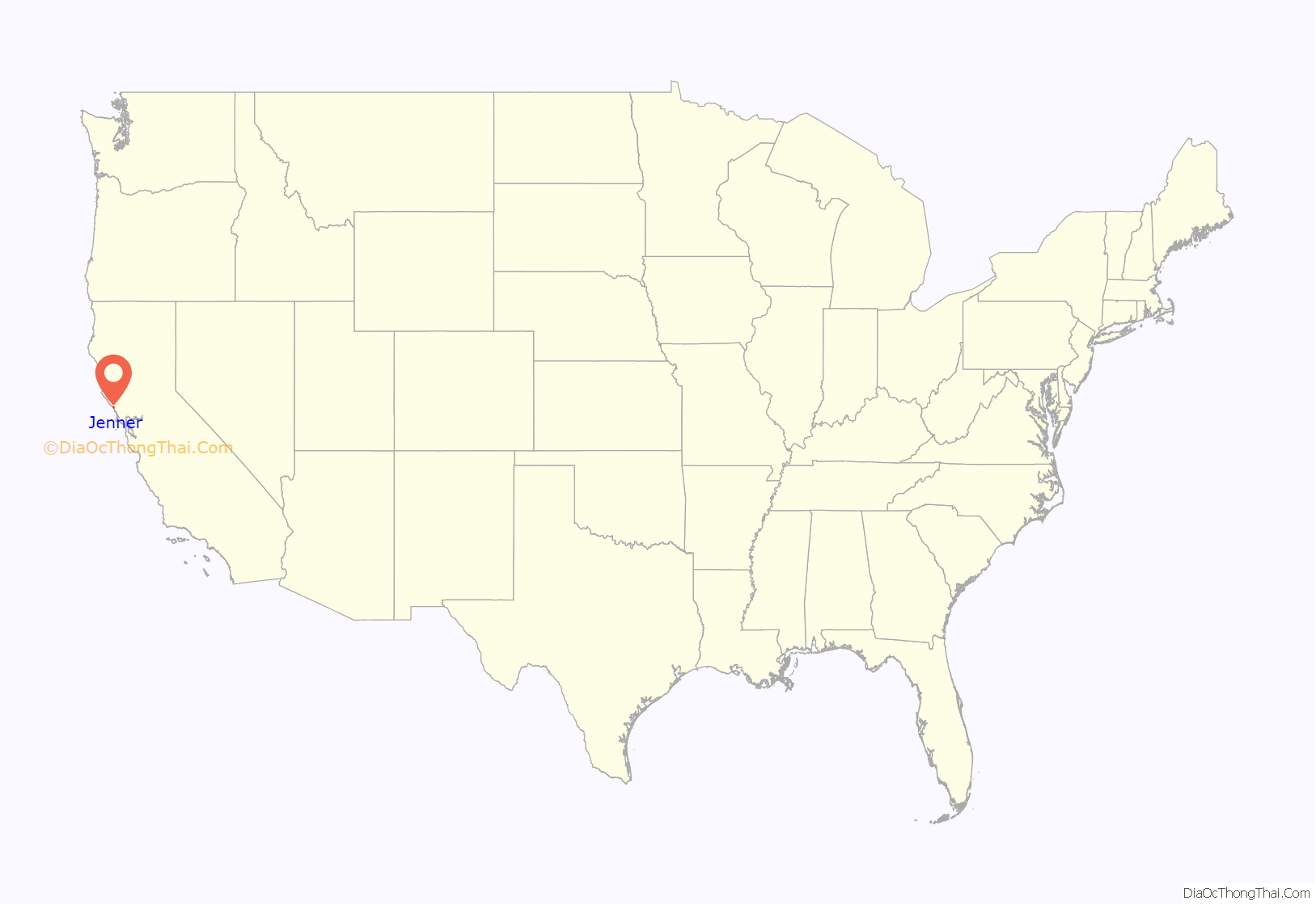
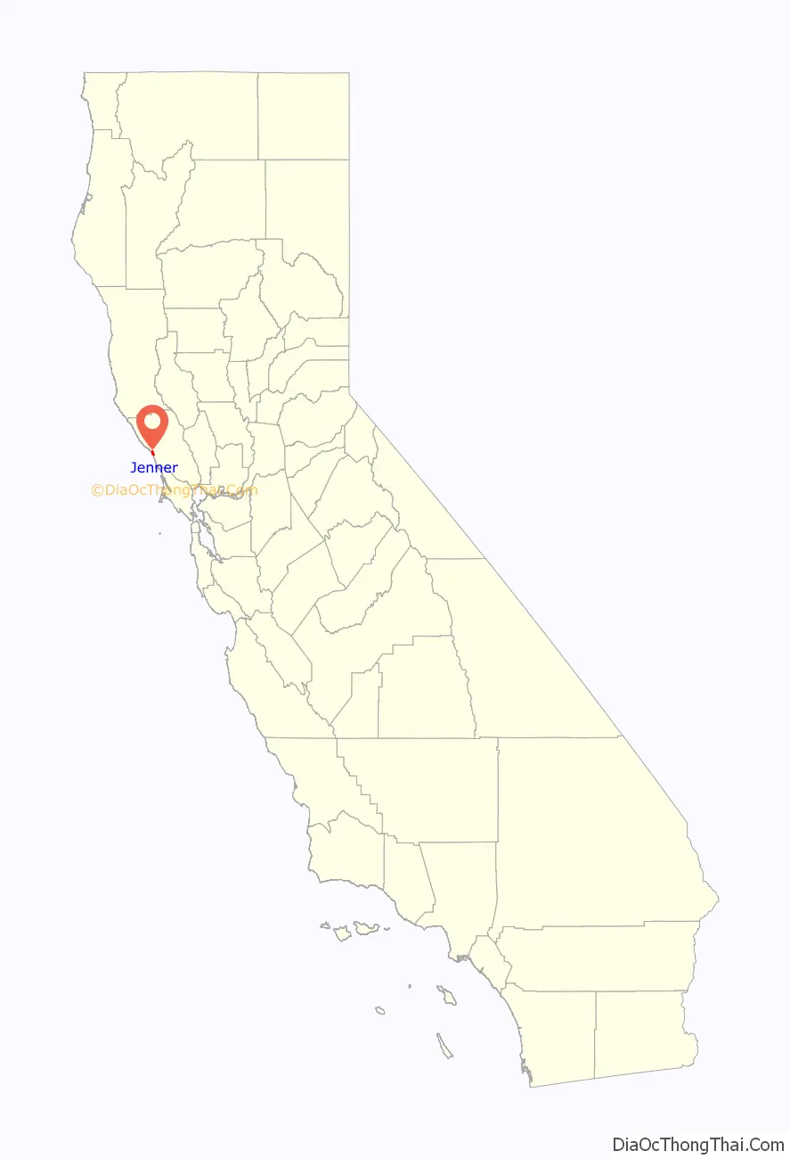
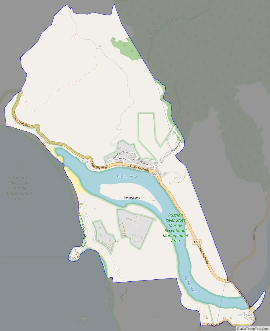
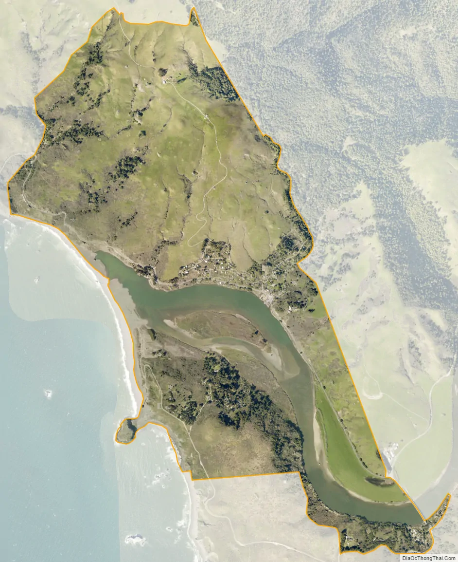
Jenner, also known as Jenner-by-the-Sea, is a small coastal town and census-designated place (CDP) in Sonoma County, California, U.S. with a population of about 122 per the 2020 census. It is located on the Pacific coast near the mouth of the Russian River. State Route 1 runs through the town and State Route 116 runs nearby, along the Russian River. Immediately south of Jenner is Goat Rock Beach, a unit within the Sonoma Coast State Beach.
| Name: | Jenner CDP |
|---|---|
| LSAD Code: | 57 |
| LSAD Description: | CDP (suffix) |
| State: | California |
| County: | Sonoma County |
| Elevation: | 13 ft (4 m) |
| Total Area: | 2.398 sq mi (6.209 km²) |
| Land Area: | 2.110 sq mi (5.464 km²) |
| Water Area: | 0.288 sq mi (0.745 km²) 12.00% |
| Total Population: | 122 |
| Population Density: | 51/sq mi (20/km²) |
| ZIP code: | 95450 |
| Area code: | 707 |
| FIPS code: | 0637274 |
| GNISfeature ID: | 1656100 |
Online Interactive Map
Click on ![]() to view map in "full screen" mode.
to view map in "full screen" mode.
Jenner location map. Where is Jenner CDP?
History
Historically, Jenner was part of the Rancho Muniz. The town’s namesake, Dr. Elijah K. Jenner, was a dentist and inventor from Vermont. When his son Charles K. was born in 1846, the family was living in Wisconsin. Elijah came west in 1850 and sought his fortune in the California goldfields. Working as a miner, he designed a pump that could raise water one hundred feet (30 m) high. His patent application included a model pump made of pure gold, which is the only golden model that the Patent Office has ever received.
Jenner’s family joined him in 1852. Traveling by ship from the Great Lakes to Panama, it crossed the Isthmus and sailed up the Pacific Coast. By 1854, the Jenners had settled near the mouth of the Russian River and built a house in what became known as Jenner Gulch, the site of the town. Charles K. Jenner would go on to be a prominent attorney in early Seattle, arguing several cases in front of the U.S. Supreme Court.
Stillwater Cove Regional Park, located 16 miles (26 km) north of Jenner, features picnic facilities, beach access, and a historic one-room schoolhouse.
Jenner received media attention in 2004 after the bodies of Lindsay Cutshall and Jason S. Allen were discovered on Fish Head Beach just north of town. The incident became known as the Jenner, California double-murder of 2004.
Jenner Road Map
Jenner city Satellite Map
Geography
According to the United States Census Bureau, the CDP covers an area of 2.4 square miles (6.2 km), 2.1 square miles (5.5 km) of it land, and 0.3 square miles (0.7 km) of it (12.00%) water.
See also
Map of California State and its subdivision:- Alameda
- Alpine
- Amador
- Butte
- Calaveras
- Colusa
- Contra Costa
- Del Norte
- El Dorado
- Fresno
- Glenn
- Humboldt
- Imperial
- Inyo
- Kern
- Kings
- Lake
- Lassen
- Los Angeles
- Madera
- Marin
- Mariposa
- Mendocino
- Merced
- Modoc
- Mono
- Monterey
- Napa
- Nevada
- Orange
- Placer
- Plumas
- Riverside
- Sacramento
- San Benito
- San Bernardino
- San Diego
- San Francisco
- San Joaquin
- San Luis Obispo
- San Mateo
- Santa Barbara
- Santa Clara
- Santa Cruz
- Shasta
- Sierra
- Siskiyou
- Solano
- Sonoma
- Stanislaus
- Sutter
- Tehama
- Trinity
- Tulare
- Tuolumne
- Ventura
- Yolo
- Yuba
- Alabama
- Alaska
- Arizona
- Arkansas
- California
- Colorado
- Connecticut
- Delaware
- District of Columbia
- Florida
- Georgia
- Hawaii
- Idaho
- Illinois
- Indiana
- Iowa
- Kansas
- Kentucky
- Louisiana
- Maine
- Maryland
- Massachusetts
- Michigan
- Minnesota
- Mississippi
- Missouri
- Montana
- Nebraska
- Nevada
- New Hampshire
- New Jersey
- New Mexico
- New York
- North Carolina
- North Dakota
- Ohio
- Oklahoma
- Oregon
- Pennsylvania
- Rhode Island
- South Carolina
- South Dakota
- Tennessee
- Texas
- Utah
- Vermont
- Virginia
- Washington
- West Virginia
- Wisconsin
- Wyoming


