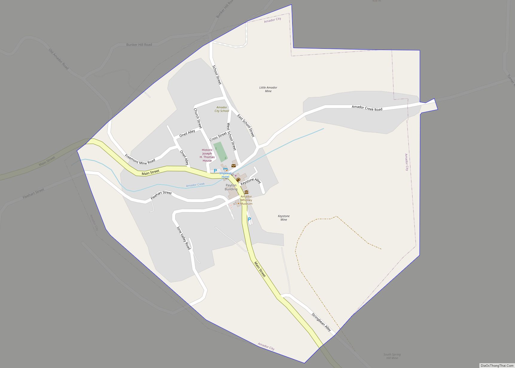
Jackson (formerly, Botilleas, Botilleas Spring, Bottileas, Bottle Spring, and Botellas) is a city in and the county seat of Amador County, California. Its population was 4,651 at the 2010 census, up from 3,989 at the 2000 census. The city is accessible by both State Route 49 and State Route 88.
| Name: | Jackson city |
|---|---|
| LSAD Code: | 25 |
| LSAD Description: | city (suffix) |
| State: | California |
| County: | Amador County |
| Incorporated: | December 5, 1905 |
| Elevation: | 1,217 ft (371 m) |
| Total Area: | 3.58 sq mi (9.27 km²) |
| Land Area: | 3.58 sq mi (9.27 km²) |
| Water Area: | 0.00 sq mi (0.00 km²) 0% |
| Total Population: | 4,651 |
| Population Density: | 1,351.96/sq mi (521.93/km²) |
| ZIP code: | 95642 |
| Area code: | 209 |
| FIPS code: | 0636980 |
| Website: | ci.jackson.ca.us |
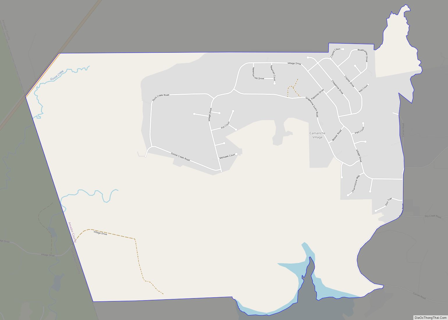
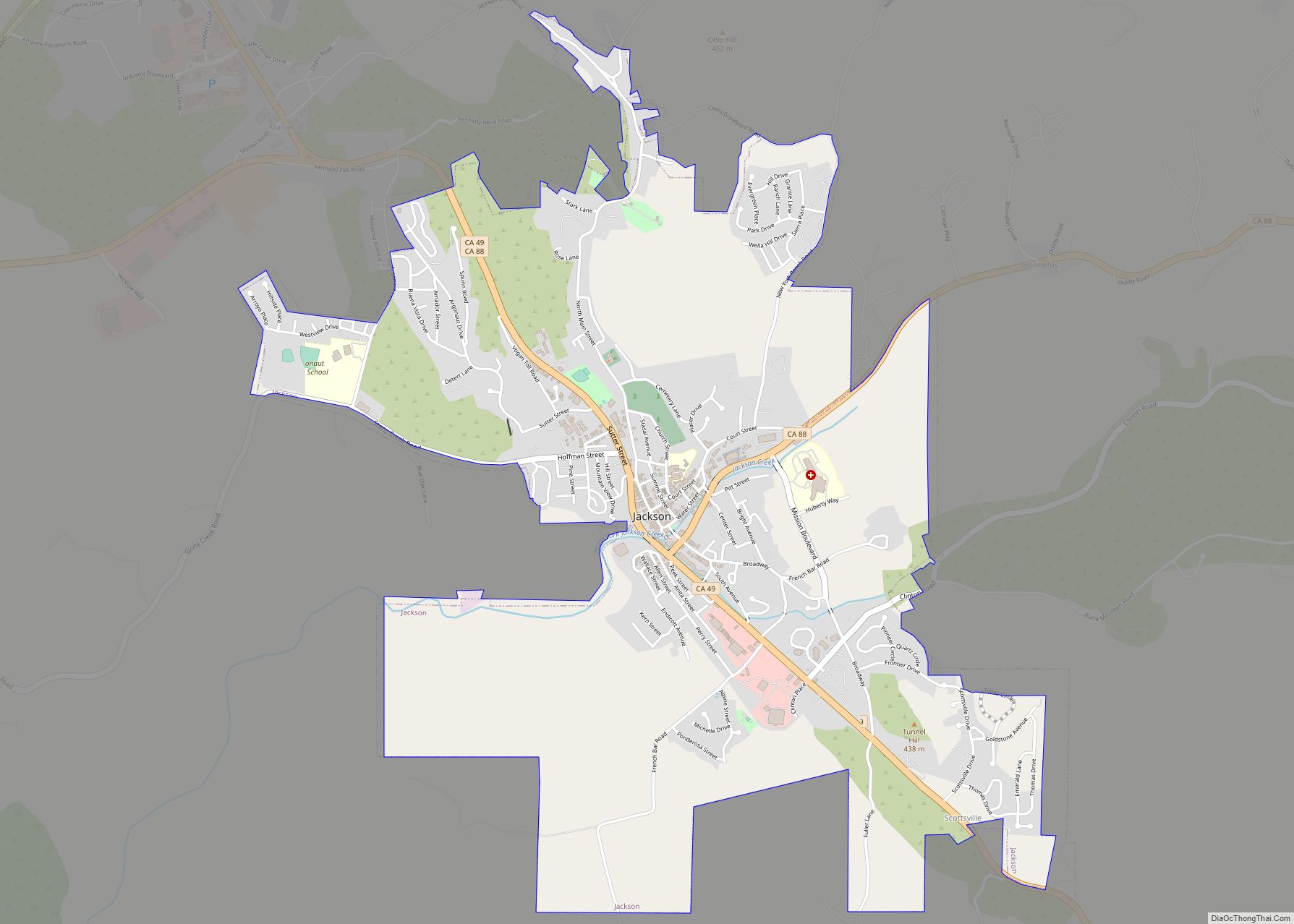
Online Interactive Map
Click on ![]() to view map in "full screen" mode.
to view map in "full screen" mode.
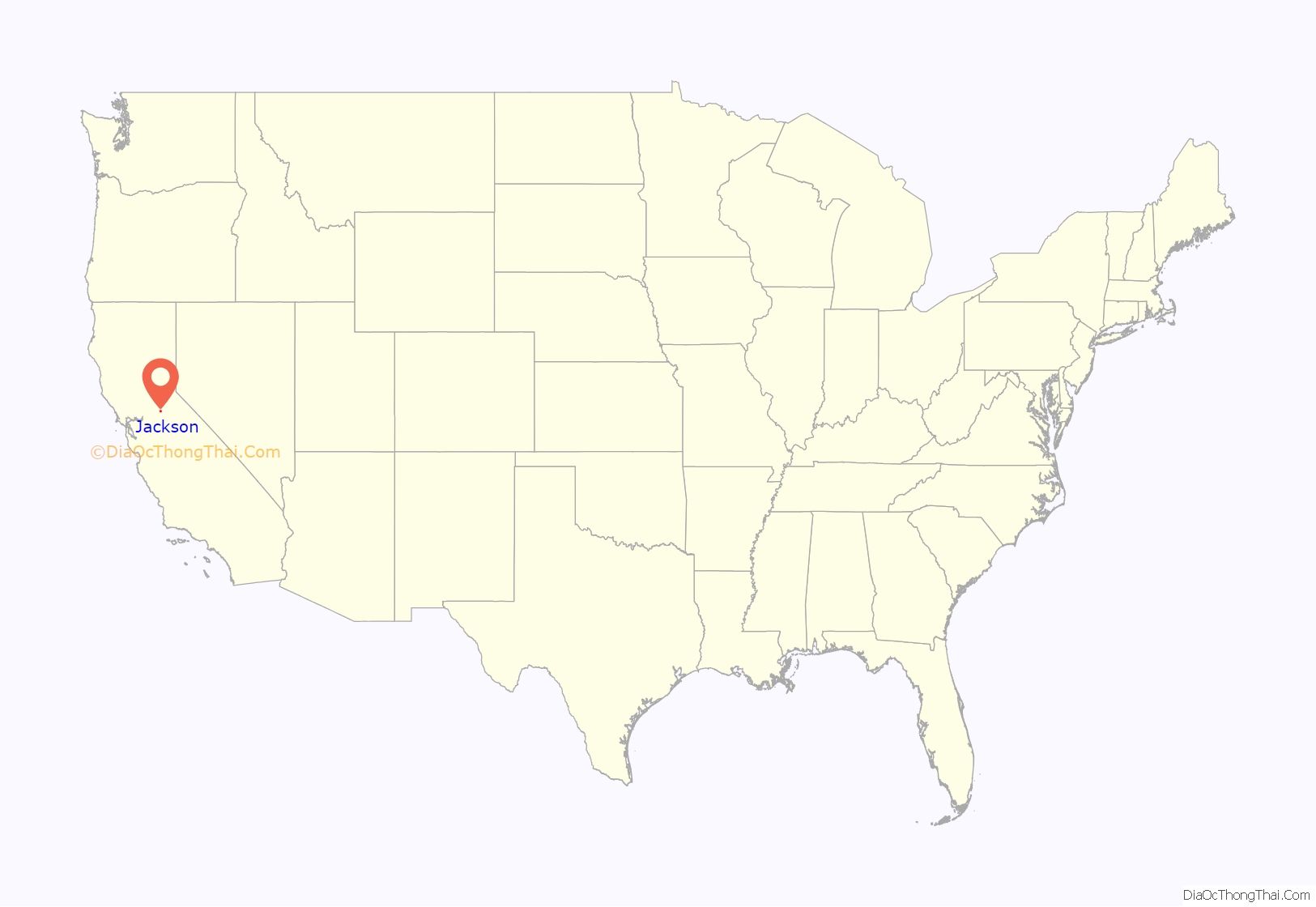
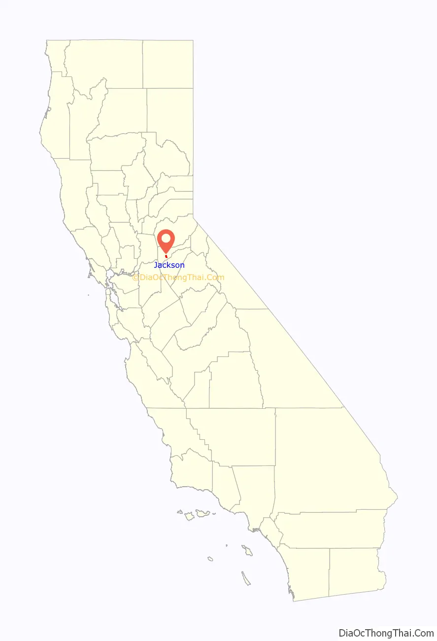
Jackson location map. Where is Jackson city?
History
Early history
The area was inhabited by the Northern Sierra Indians, who occupied areas along creeks, spring, and seep areas, including permanent and seasonal drainages, flat ridges, and terraces. Therefore, areas along watercourses are considered likely locations for prehistoric cultural resources. Permanent villages were usually placed on elevations above seasonal flood levels. Surrounding areas were used for hunting and seed, acorn, and grass gathering.
Recent history
Jackson, named after Colonel Alden Jackson, was founded in 1848 around a year-round spring. Settlement of the region by American pioneers was stimulated by the discovery of gold in the Sierra foothills around 1848. The settlement was named for a local lawyer who was liked by miners named Alden Appola Moore Jackson. Although Amador County was an important mining center, its county seat of Jackson was not typical of the early gold camps. The camp grew quickly, as besides being a popular mining spot, it was also a convenient stopping place on the road from Sacramento to the Southern Mines. The camp became an important supply and transportation center for the neighboring towns, and by 1850, its population had reached an estimated 1,500. Jackson grew first as a watering hole for cattle, then as one of the earliest and most durable of the mother lode’s hard rock mining areas. In 1853, Jackson became the county seat of newly formed Amador County, California. Previously, from 1851 to 1852, it had been the county seat of Calaveras County.
Placer mining gave out by the 1860s, replaced by hard rock mining. One of the town’s most prominent historical landmarks, the Kennedy Mine, began operation in 1860; at the time of its closure during World War II in 1942, it was the deepest gold mine in North America, at 1802 m (5912 ft). On August 27, 1922, 47 miners became trapped when a fire broke out in the Argonaut mine. All 47 men died in the fire, but the last body was not recovered until over a year later. The Argonaut mine incident was the worst gold mine disaster in US history.
In October 1942, the US government passed the War Production Board Limitation Order, which signaled the demise of gold mining in California. The government needed men for the war and gold was not considered a strategic war metal.
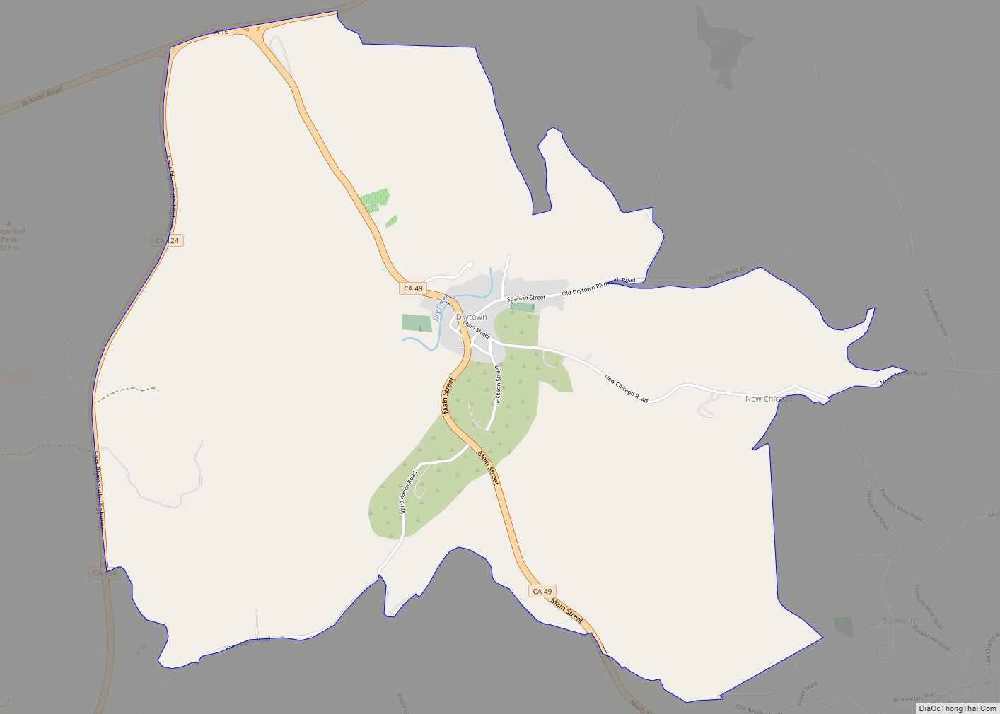
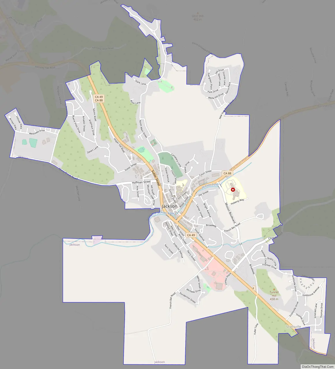
Jackson Road Map
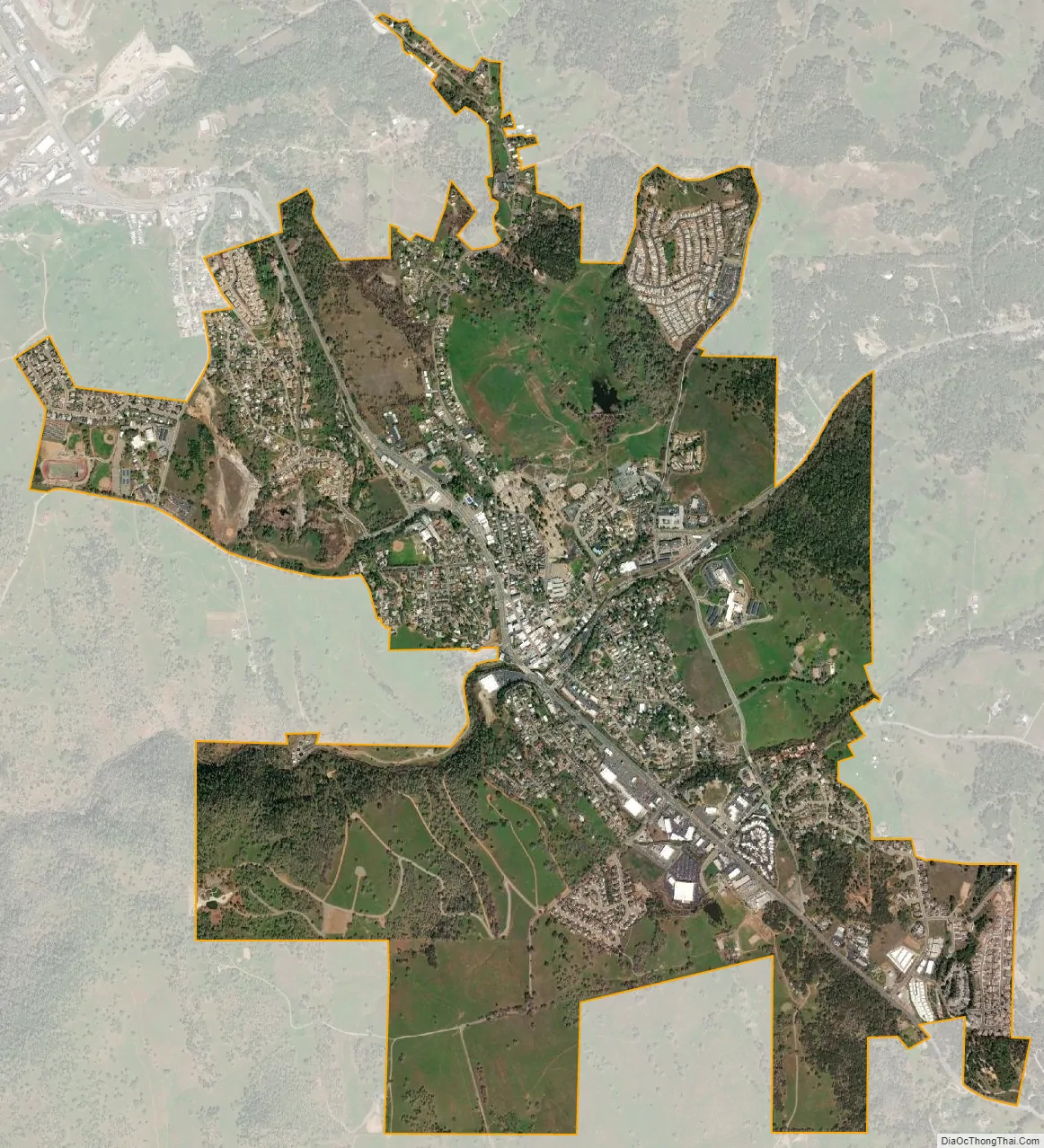
Jackson city Satellite Map
Geography
According to the United States Census Bureau, the city has a total area of 3.7 square miles (9.6 km), all of it land. Jackson Creek traverses the city. Alluvial soils such as Pardee cobbly loam is found throughout the Jackson area.
Climate
According to the Köppen climate classification, Jackson has a hot-summer Mediterranean climate (abbreviated Csa).
See also
Map of California State and its subdivision:- Alameda
- Alpine
- Amador
- Butte
- Calaveras
- Colusa
- Contra Costa
- Del Norte
- El Dorado
- Fresno
- Glenn
- Humboldt
- Imperial
- Inyo
- Kern
- Kings
- Lake
- Lassen
- Los Angeles
- Madera
- Marin
- Mariposa
- Mendocino
- Merced
- Modoc
- Mono
- Monterey
- Napa
- Nevada
- Orange
- Placer
- Plumas
- Riverside
- Sacramento
- San Benito
- San Bernardino
- San Diego
- San Francisco
- San Joaquin
- San Luis Obispo
- San Mateo
- Santa Barbara
- Santa Clara
- Santa Cruz
- Shasta
- Sierra
- Siskiyou
- Solano
- Sonoma
- Stanislaus
- Sutter
- Tehama
- Trinity
- Tulare
- Tuolumne
- Ventura
- Yolo
- Yuba
- Alabama
- Alaska
- Arizona
- Arkansas
- California
- Colorado
- Connecticut
- Delaware
- District of Columbia
- Florida
- Georgia
- Hawaii
- Idaho
- Illinois
- Indiana
- Iowa
- Kansas
- Kentucky
- Louisiana
- Maine
- Maryland
- Massachusetts
- Michigan
- Minnesota
- Mississippi
- Missouri
- Montana
- Nebraska
- Nevada
- New Hampshire
- New Jersey
- New Mexico
- New York
- North Carolina
- North Dakota
- Ohio
- Oklahoma
- Oregon
- Pennsylvania
- Rhode Island
- South Carolina
- South Dakota
- Tennessee
- Texas
- Utah
- Vermont
- Virginia
- Washington
- West Virginia
- Wisconsin
- Wyoming