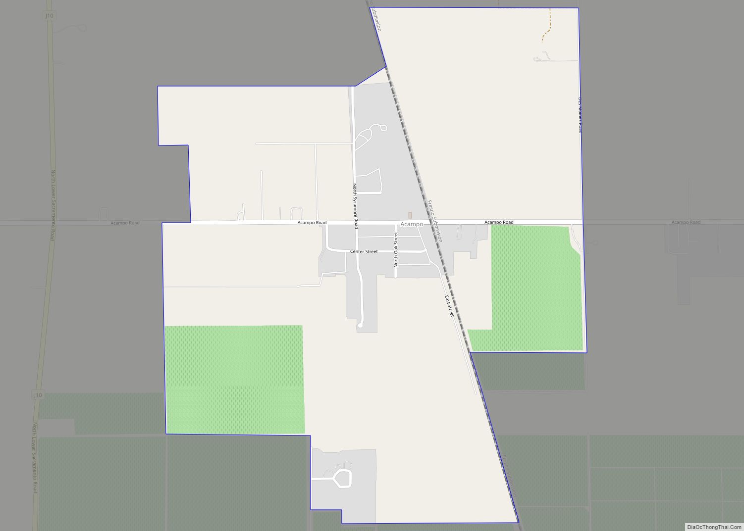
Map of Agua Dulce CDP

Map of Agua Dulce CDP, California

Agua Dulce (pronunciation) (Spanish for “Sweet Water”) is a census-designated place in Los Angeles County, California, United States. It lies at an elevation of 2,526 feet (770 m), northeast of Santa Clarita. The community had a population of 3,342 at the 2010 census and covers a geographic area of about 23 square miles (59 km). Agua Dulce … Read more

Map of Agoura Hills city

Map of Agoura Hills city

Agoura Hills (/əˈɡɔːrə/ (listen)) is a city in the Santa Monica Mountains region of Los Angeles County, California, United States. Its population was 20,330 at the 2010 census, which decreased to 20,299 in 2020. It is in the eastern Conejo Valley between the Simi Hills and the Santa Monica Mountains. The city is in western … Read more

Map of Adin CDP

Map of Adin CDP

Adin (formerly, Adinville and Aidenville) is a census-designated place in Modoc County, California. It is located 29 miles (47 km) southwest of Alturas, at an elevation of 4,203 feet (1,281 m). Its population is 205 as of the 2020 census, down from 272 from the 2010 census. Each summer, the town hosts the annual Golden State Star … Read more

Map of Airport CDP

Map of Airport CDP

Airport is a census-designated place (CDP) in Stanislaus County, California. Airport sits at an elevation of 92 feet (28 m). and is located near Modesto City–County Airport. The 2010 United States census reported Airport’s population was 1,964. Airport CDP overview: Name: Airport CDP LSAD Code: 57 LSAD Description: CDP (suffix) State: California County: Stanislaus County Elevation: … Read more

Map of Ahwahnee CDP

Map of Ahwahnee CDP

Ahwahnee is a census-designated place in Madera County, California, United States. It is located 5.25 miles (8.4 km) west of Yosemite Forks, at an elevation of 2,326 feet (709 m). The population was 2,296 at the 2020 census. Ahwahnee is hilly and located in the Sierra Nevada. The ZIP Code is 93601. The community is inside area … Read more

Map of Aguanga CDP

Map of Aguanga CDP

Aguanga (/əˈwɑːŋ.ɡə/; Luiseño: Awáanga, meaning “dog place”) is a census-designated place located within the Inland Empire, Riverside County, California. It is located about 18 miles (29 km) east of Temecula and 22 miles (35 km) south-southeast of Hemet. Aguanga lies at an elevation of 1955 feet (596 m). As of the 2010 census, it had a population … Read more

Map of Albany city

Map of Albany city, California

Albany (/ˈɔːlbəni/ (listen) AWL-bə-nee) is a city on the east shore of San Francisco Bay in northwestern Alameda County, California. The population was 20,271 at the 2020 census. Albany city overview: Name: Albany city LSAD Code: 25 LSAD Description: city (suffix) State: California County: Alameda County Incorporated: September 22, 1908 Elevation: 43 ft (13 m) Total Area: … Read more

Map of Alamo CDP

Map of Alamo CDP, California

Alamo (Spanish: Álamo; meaning “Poplar tree”) is an unincorporated community and census-designated place (CDP) in Contra Costa County, California, in the United States. It is a suburb located in the San Francisco Bay Area’s East Bay region, approximately 28 miles (45 km) east of San Francisco. Alamo is equidistant from the city of Walnut Creek and … Read more

Map of Alameda city

Map of Alameda city

Alameda (/ˌæləˈmiːdə/ AL-ə-MEE-də; Spanish: [alaˈmeða]; Spanish for “tree-lined path”) is a city in Alameda County, California, located in the East Bay region of the Bay Area. The city is primarily located on Alameda Island, but also spans Bay Farm Island and Coast Guard Island, as well as a few other smaller islands in San Francisco Bay. … Read more

Map of Alhambra Valley CDP

Map of Alhambra Valley CDP

Alhambra Valley (/ɑːlˈhɑːmbrə/ (listen), Spanish: [aˈlambɾa]) is a census-designated place in the Briones Hills of central Contra Costa County, California. Alhambra Valley sits at an elevation of 525 feet (160 m). The 2010 United States census reported that Alhambra Valley’s population was 924. The Spanish name of the valley was Cañada del Hambre “Valley of Hunger”; it … Read more

Map of Alderpoint CDP

Map of Alderpoint CDP

Alderpoint (formerly, Alder Point) is a census-designated place in Humboldt County, California at an elevation of 472 feet (144 m), 11 miles (18 km) east-northeast of Garberville. Its population is 137 as of the 2020 census, down from 186 from the 2010 census. The ZIP Code is 95511 and its area code is 707. Alderpoint CDP overview: … Read more

Map of Albion CDP

Map of Albion CDP, California

Albion is a census-designated place in Mendocino County, California, United States. It is located 15 miles (24 km) south of Fort Bragg, at an elevation of 174 feet (53 m). Albion had a population of 153 at the 2020 census. Albion CDP overview: Name: Albion CDP LSAD Code: 57 LSAD Description: CDP (suffix) State: California County: Mendocino … Read more