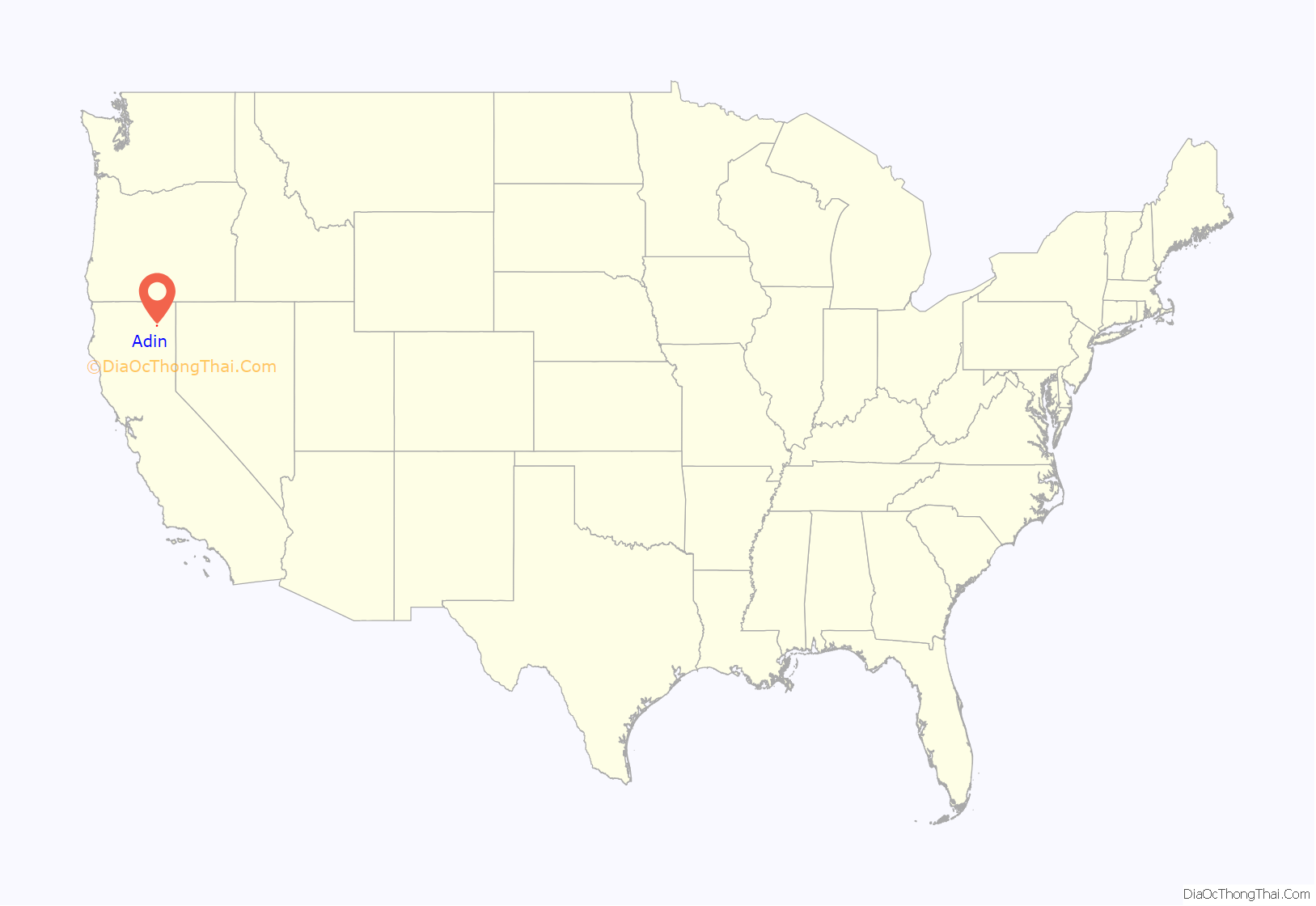
Adin (formerly, Adinville and Aidenville) is a census-designated place in Modoc County, California. It is located 29 miles (47 km) southwest of Alturas, at an elevation of 4,203 feet (1,281 m). Its population is 205 as of the 2020 census, down from 272 from the 2010 census.
Each summer, the town hosts the annual Golden State Star Party, a gathering of amateur and professional astronomers from California and parts of the United States.
| Name: | Adin CDP |
|---|---|
| LSAD Code: | 57 |
| LSAD Description: | CDP (suffix) |
| State: | California |
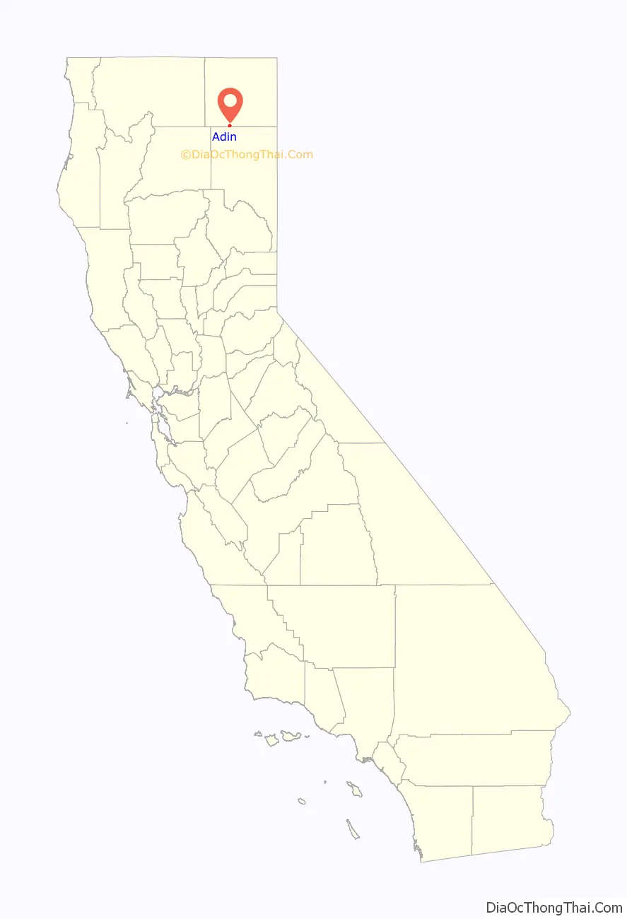
| County: | Modoc County |
| Elevation: | 4,203 ft (1,281 m) |
| Total Area: | 2.94 sq mi (7.60 km²) |
| Land Area: | 2.93 sq mi (7.59 km²) |
| Water Area: | 0.01 sq mi (0.02 km²) 0.18% |
| Total Population: | 205 |
| Population Density: | 69.97/sq mi (27.02/km²) |
| FIPS code: | 0600310 |
| GNISfeature ID: | 256119; 2582927 |
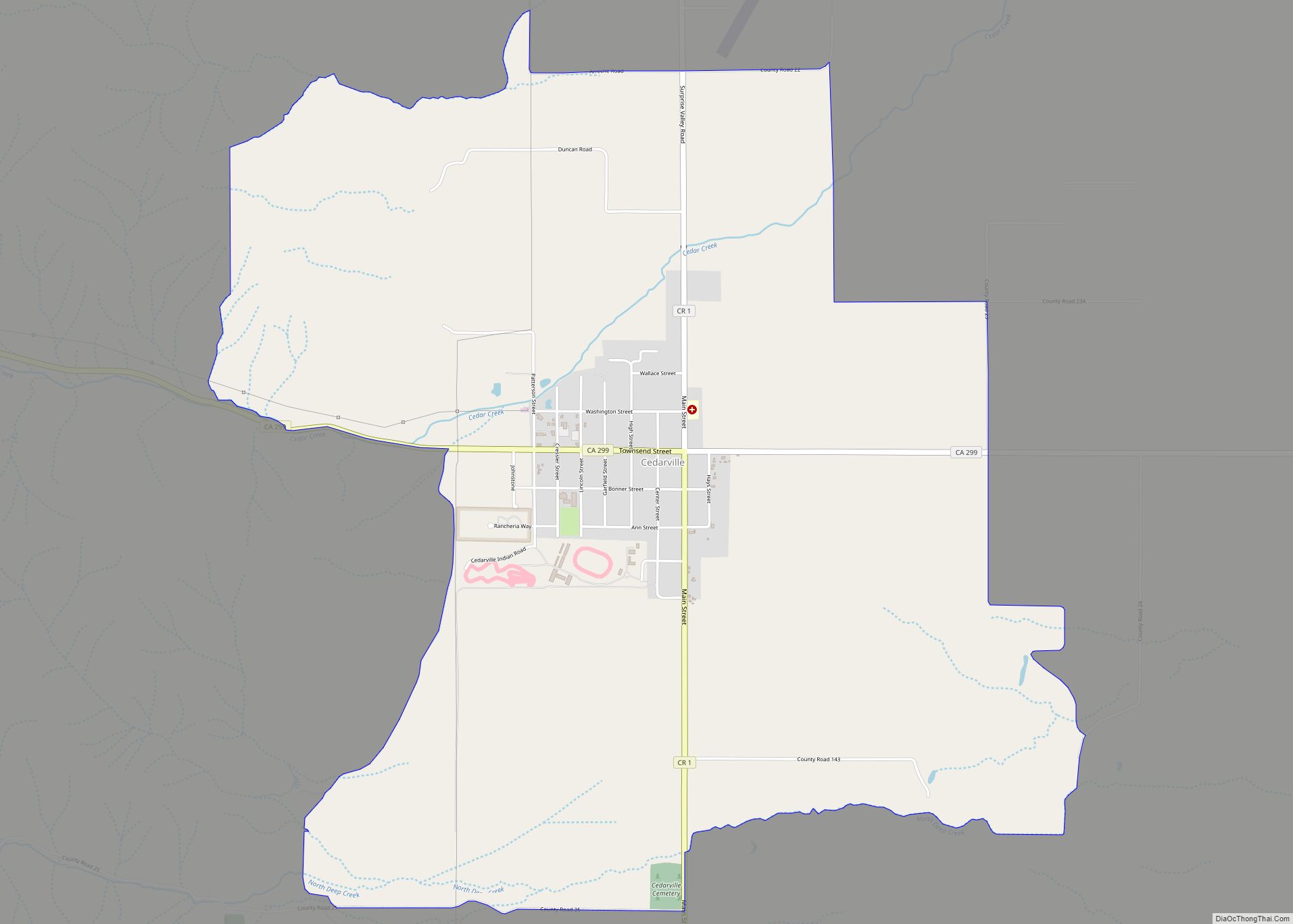
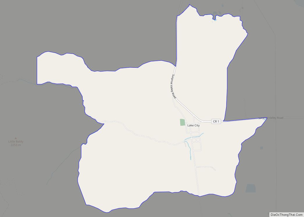
Online Interactive Map
Click on ![]() to view map in "full screen" mode.
to view map in "full screen" mode.
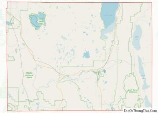
Adin location map. Where is Adin CDP?
History
Adin, the first town in Modoc County west of the Warner Mountains, was founded in 1869 by Adin McDowell as the supply point for the mining town of Hayden in northern Lassen County, and was named for him in 1870. The Aidenville post office opened in 1871, and changed its name to Adin in 1876.
A 1913 book described Adin as having a population of 200, and as the chief town of the Big Valley. It became a sawmill town in the mid-1930s when the Edgerton Brothers Mill moved into town, from the Adin Mountains.
The town suffered devastating fires in 1904, 1915, 1931, and finally in 1939. Following the 1939 fire, the town organized a volunteer fire brigade.
Adin Road Map
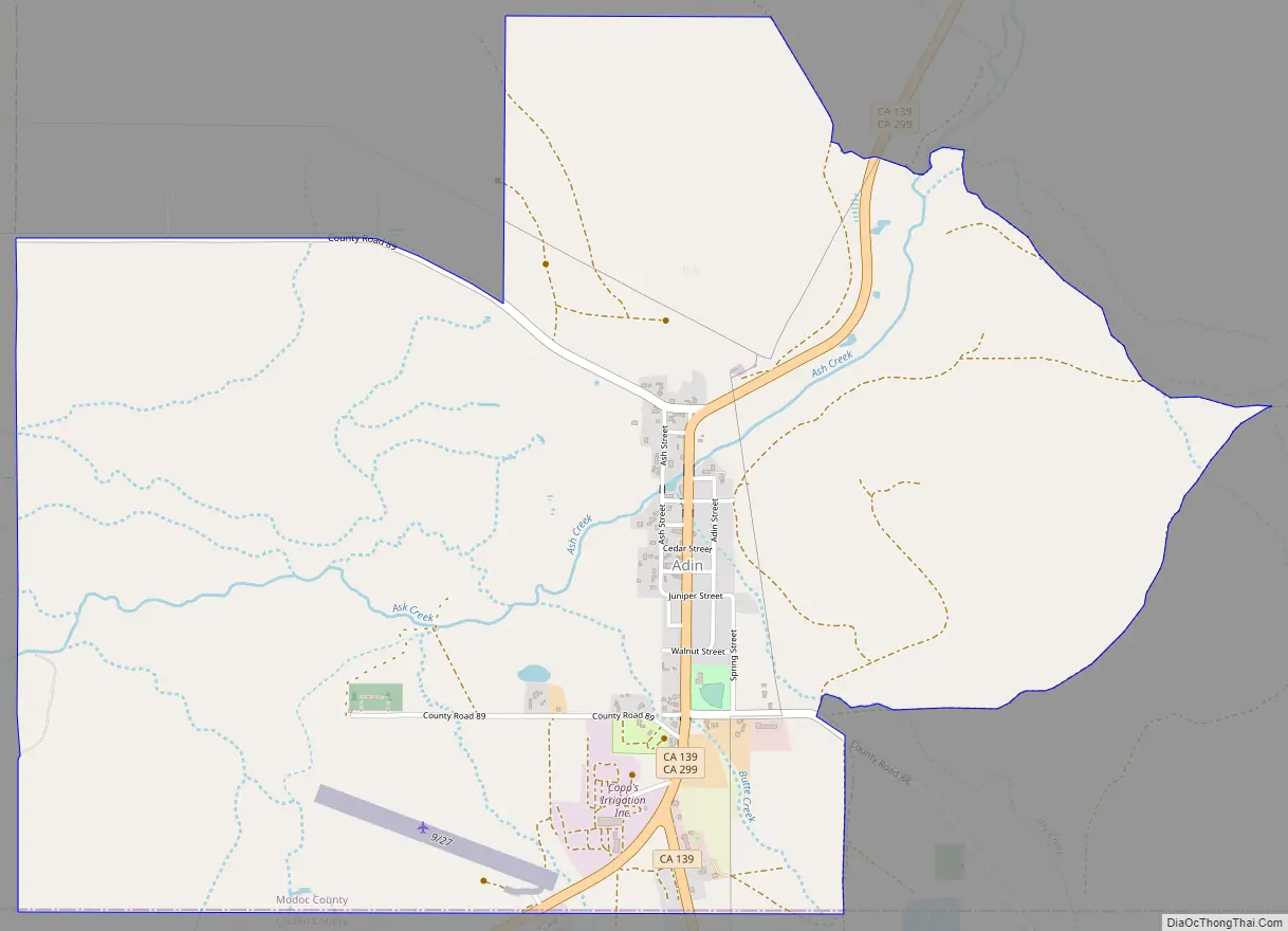
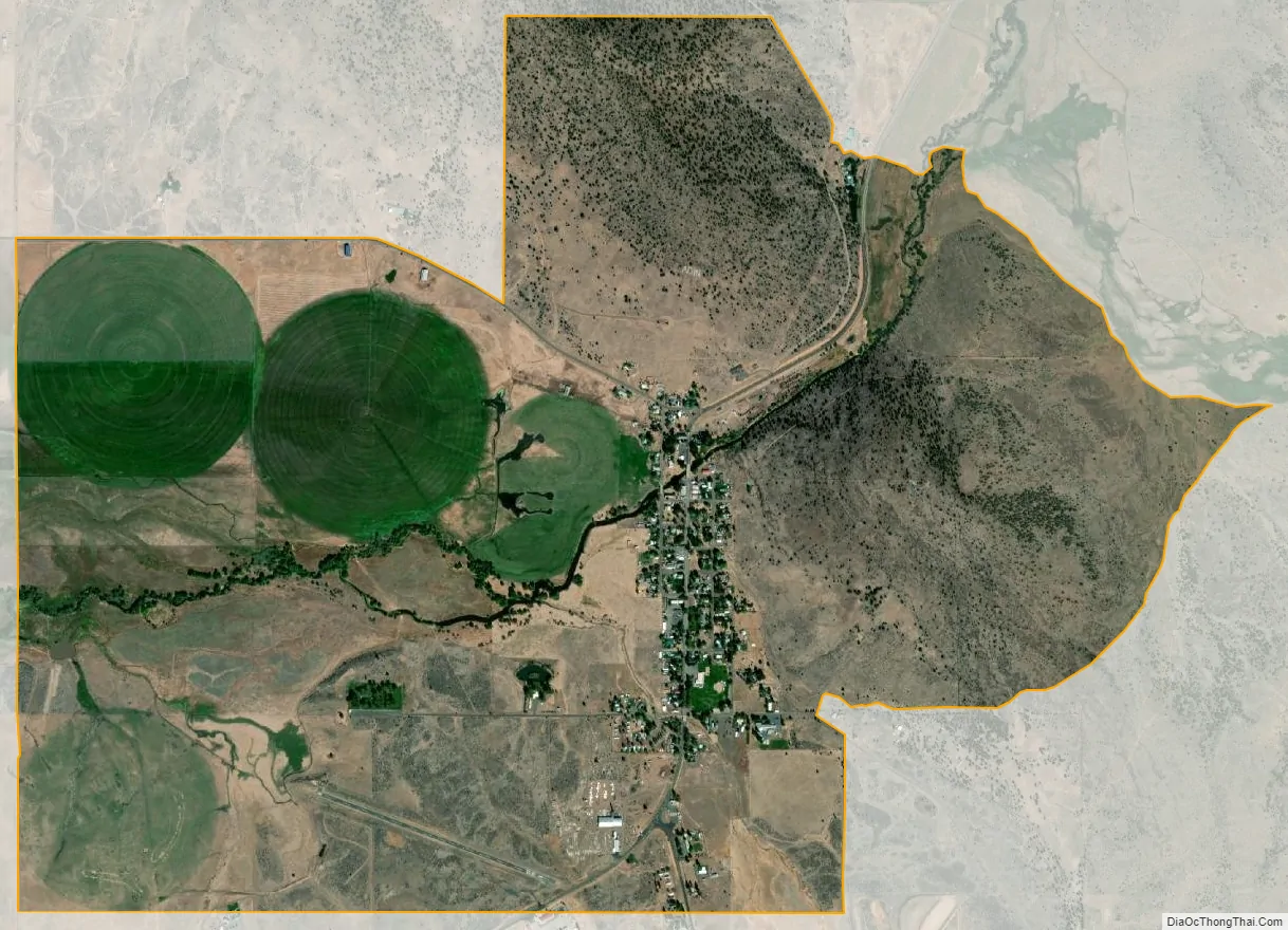
Adin city Satellite Map
Geography
According to the United States Census Bureau, the CDP covers an area of 3.4 square miles (8.9 km), 99.82% of it land, 0.18% of it water.
Climate
This region experiences warm (but not hot) and dry summers, with no average monthly temperatures above 71.6 °F. According to the Köppen Climate Classification system, Adin has a warm-summer Mediterranean climate, abbreviated “Csb” on climate maps.
See also
Map of California State and its subdivision:- Alameda
- Alpine
- Amador
- Butte
- Calaveras
- Colusa
- Contra Costa
- Del Norte
- El Dorado
- Fresno
- Glenn
- Humboldt
- Imperial
- Inyo
- Kern
- Kings
- Lake
- Lassen
- Los Angeles
- Madera
- Marin
- Mariposa
- Mendocino
- Merced
- Modoc
- Mono
- Monterey
- Napa
- Nevada
- Orange
- Placer
- Plumas
- Riverside
- Sacramento
- San Benito
- San Bernardino
- San Diego
- San Francisco
- San Joaquin
- San Luis Obispo
- San Mateo
- Santa Barbara
- Santa Clara
- Santa Cruz
- Shasta
- Sierra
- Siskiyou
- Solano
- Sonoma
- Stanislaus
- Sutter
- Tehama
- Trinity
- Tulare
- Tuolumne
- Ventura
- Yolo
- Yuba
- Alabama
- Alaska
- Arizona
- Arkansas
- California
- Colorado
- Connecticut
- Delaware
- District of Columbia
- Florida
- Georgia
- Hawaii
- Idaho
- Illinois
- Indiana
- Iowa
- Kansas
- Kentucky
- Louisiana
- Maine
- Maryland
- Massachusetts
- Michigan
- Minnesota
- Mississippi
- Missouri
- Montana
- Nebraska
- Nevada
- New Hampshire
- New Jersey
- New Mexico
- New York
- North Carolina
- North Dakota
- Ohio
- Oklahoma
- Oregon
- Pennsylvania
- Rhode Island
- South Carolina
- South Dakota
- Tennessee
- Texas
- Utah
- Vermont
- Virginia
- Washington
- West Virginia
- Wisconsin
- Wyoming