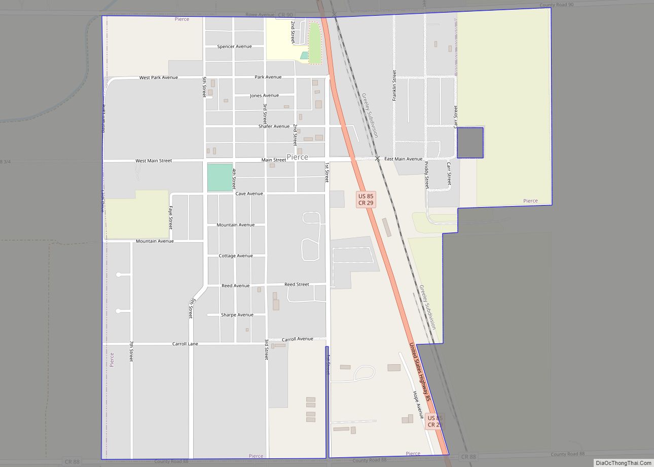
Pierce is a Statutory Town in Weld County, Colorado, United States. The population was 1,097 at the 2020 census. The town is a rural agricultural community located on the Colorado Eastern Plains along U.S. Highway 85 north of Greeley. Pierce town overview: Name: Pierce town LSAD Code: 43 LSAD Description: town (suffix) State: Colorado County: ... Read more
Colorado Cities and Places
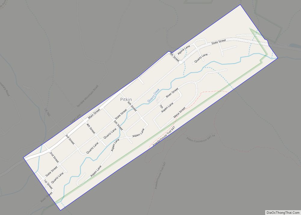
Pitkin is a Statutory Town in Gunnison County, Colorado, United States. The population was 72 at the 2020 census. Pitkin was founded in 1879, and is said to be Colorado’s first mining camp west of the Continental Divide. Originally named Quartzville, it was renamed to honor Governor Frederick Walker Pitkin. Pitkin town overview: Name: Pitkin ... Read more
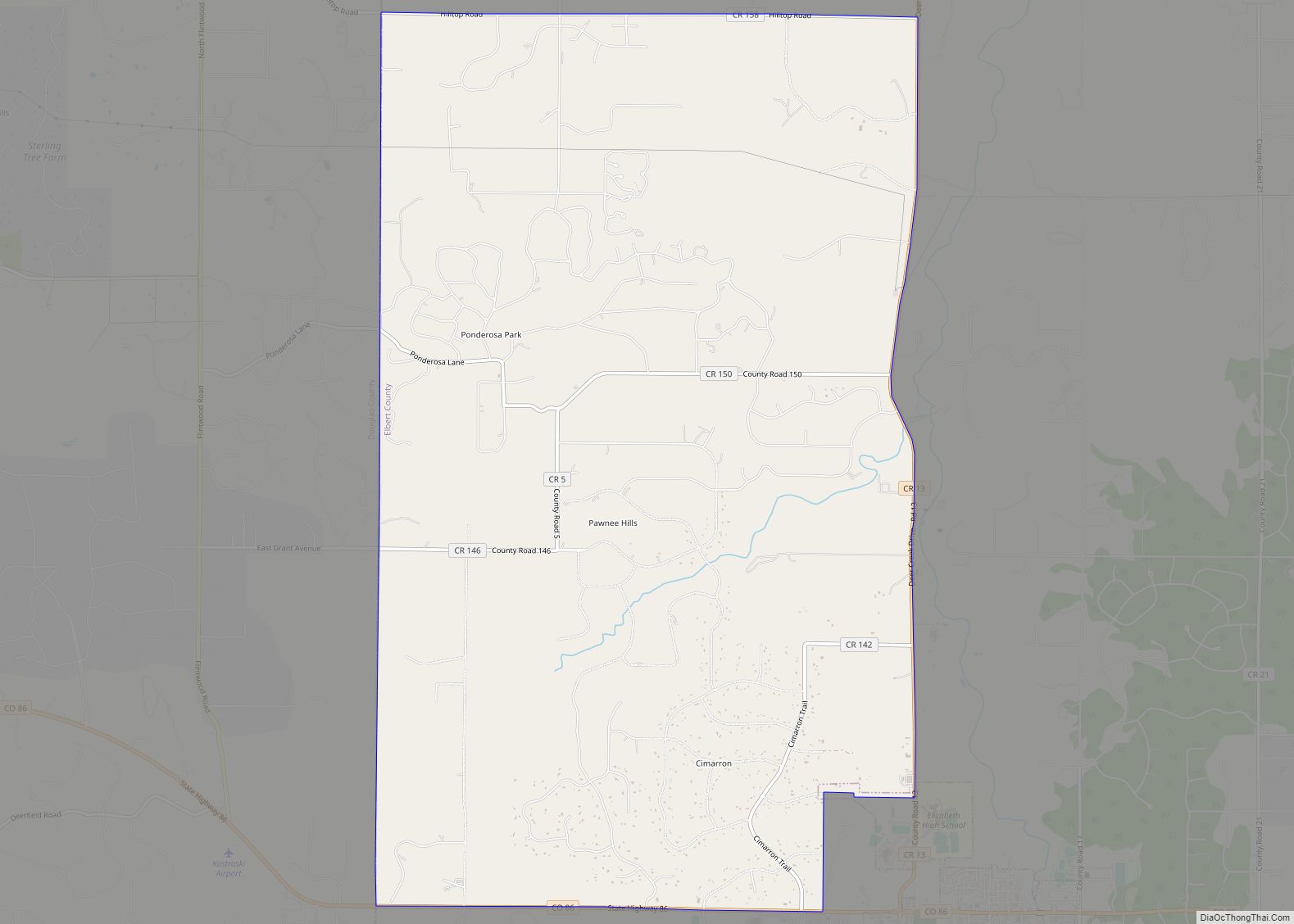
Ponderosa Park is an unincorporated community and a census-designated place (CDP) located in and governed by Elbert County, Colorado, United States. The CDP is a part of the Denver–Aurora–Lakewood, CO Metropolitan Statistical Area. The population of the Ponderosa Park CDP was 3,334 at the United States Census 2020. Elbert County governs the unincorporated community. The ... Read more
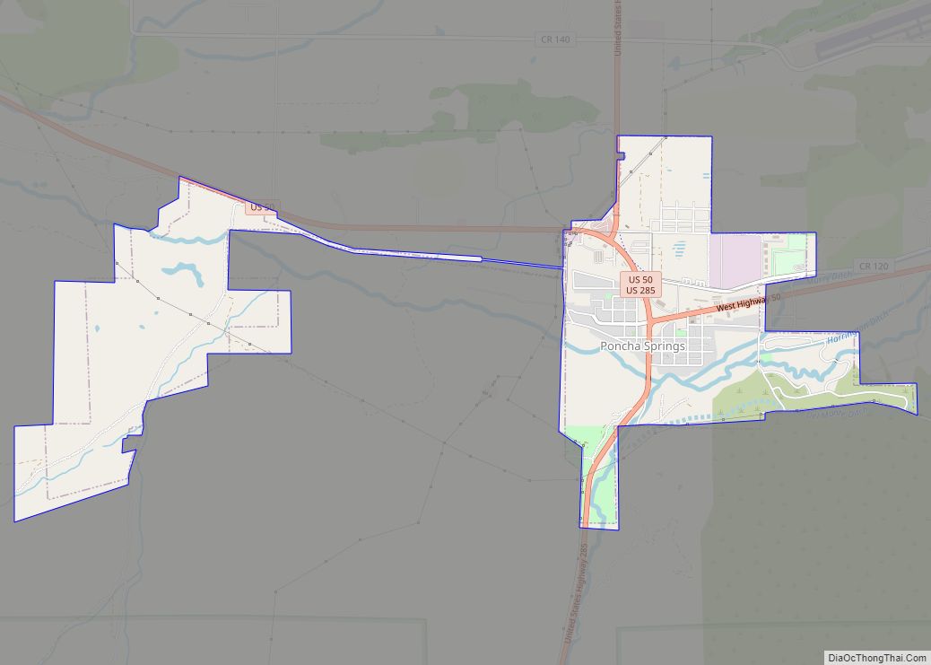
Poncha Springs is a statutory Town in Chaffee County, Colorado, United States. The population was 925 at the 2020 census. Poncha Springs town overview: Name: Poncha Springs town LSAD Code: 43 LSAD Description: town (suffix) State: Colorado County: Chaffee County Elevation: 7,464 ft (2,275 m) Total Area: 2.98 sq mi (7.73 km²) Land Area: 2.98 sq mi (7.73 km²) Water Area: 0.00 sq mi (0.00 km²) ... Read more
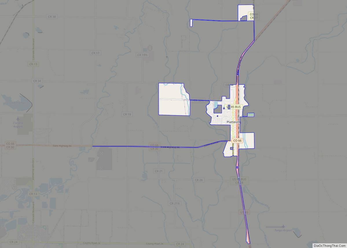
Platteville is a Statutory Town in Weld County, Colorado, United States. The population was 2,955 at the 2020 census. It is adjacent to Fort Vasquez on U.S. Highway 85. Platteville town overview: Name: Platteville town LSAD Code: 43 LSAD Description: town (suffix) State: Colorado County: Weld County Founded: 1871 Elevation: 4,813 ft (1,467 m) Total Area: 3.08 sq mi ... Read more
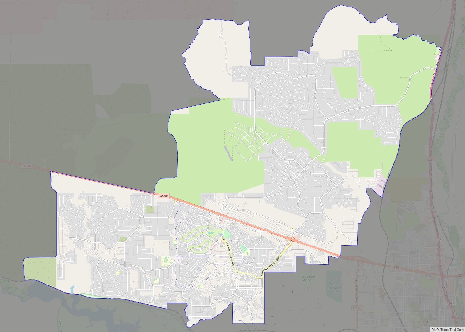
Pueblo West is a census-designated place (CDP) in and governed by Pueblo County, Colorado, United States. The CDP is part of the Pueblo, CO Metropolitan Statistical Area. The population of the Pueblo West CDP was 33,086 according to the United States Census 2020. The Pueblo West Metropolitan District provides services. The Pueblo post office (Zip ... Read more
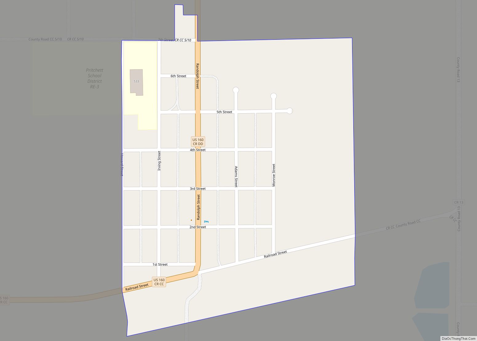
Pritchett is a Statutory Town in Baca County, Colorado, United States. The population was 112 at the 2020 census. A post office called Pritchett has been in operation since 1927. The community was named after Henry S. Pritchett, a railroad official. Pritchett town overview: Name: Pritchett town LSAD Code: 43 LSAD Description: town (suffix) State: ... Read more
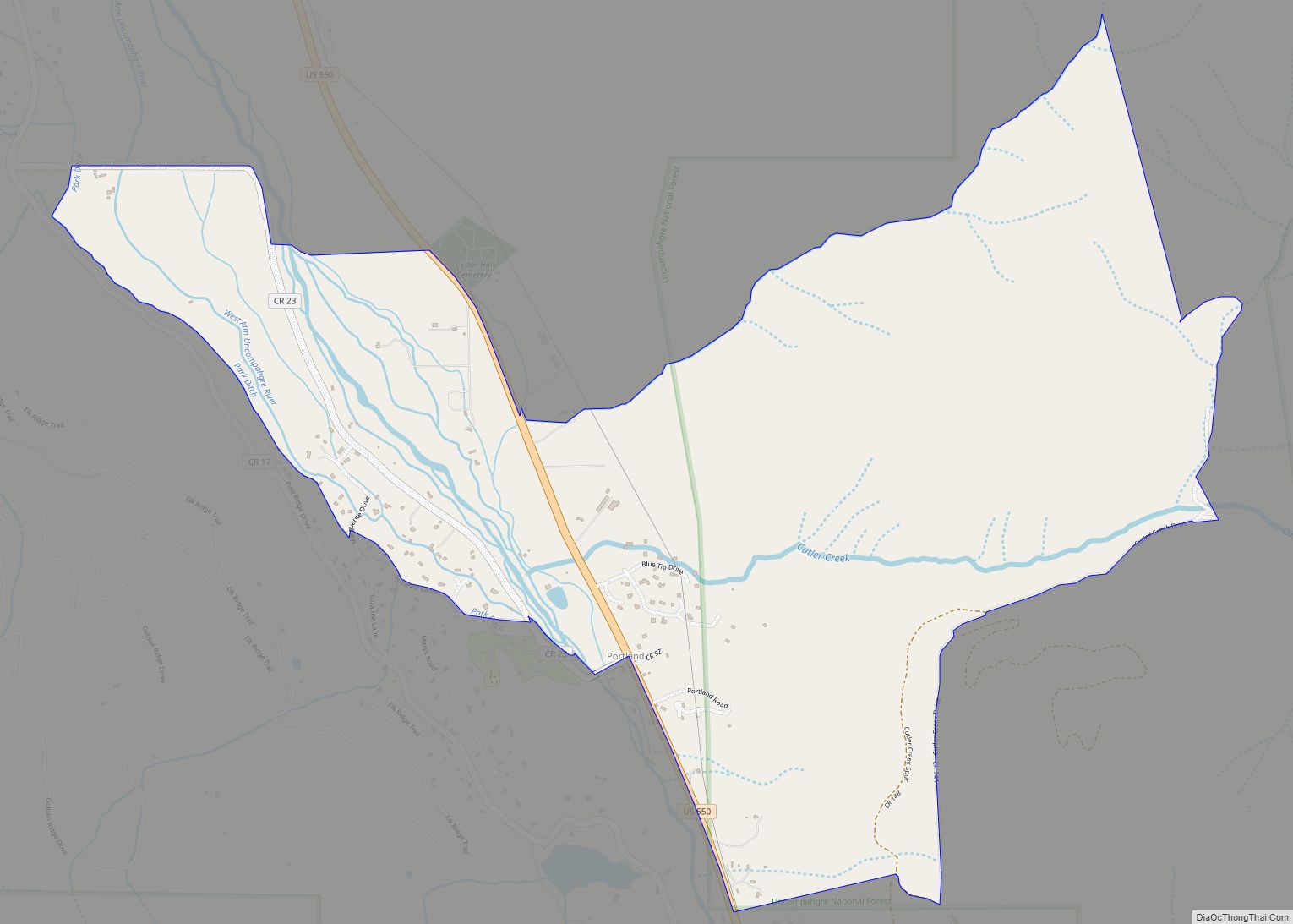
Portland is a census-designated place (CDP) located in and governed by Ouray County, Colorado, United States. The CDP is a part of the Montrose, CO Micropolitan Statistical Area. The population of the Portland CDP was 136 at the United States Census 2020. The Ridgway post office (Zip Code 81432) serves the area. Portland CDP overview: ... Read more
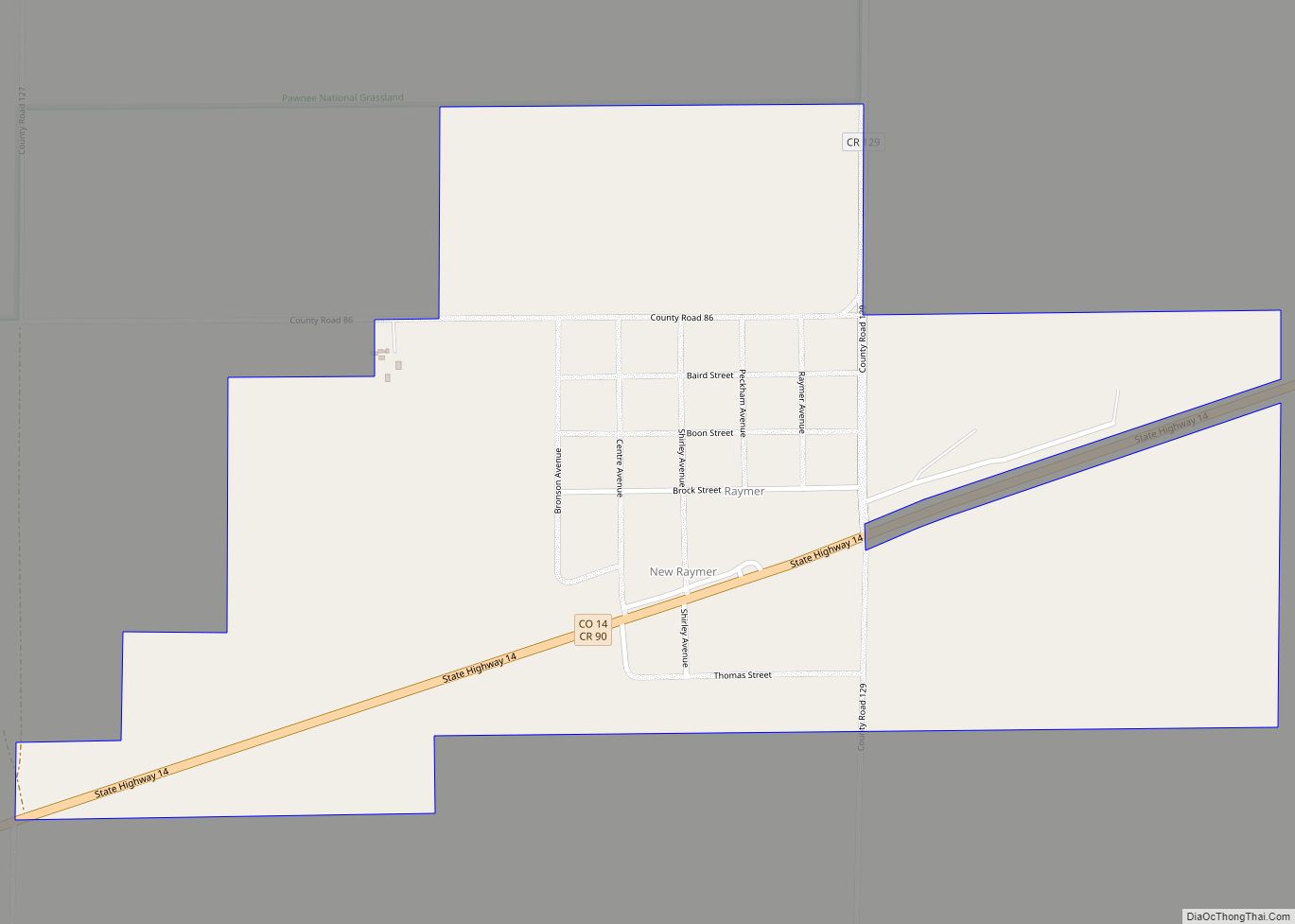
The Town of Raymer is a Statutory Town located in Weld County, Colorado, United States. The population was 110 at the U.S. Census 2020. The community has two official names: Raymer – The legal name of the incorporated Town of Raymer. New Raymer – The official United States Postal Service designation. Raymer hosts a Minuteman ... Read more
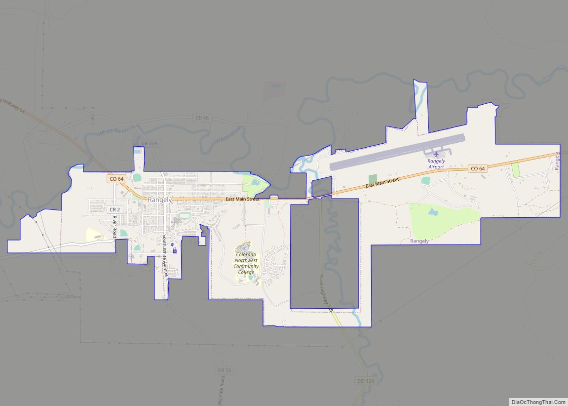
Rangely is a Statutory Town in Rio Blanco County, Colorado, United States. The population was 2,299 at the 2020 census. Rangely town overview: Name: Rangely town LSAD Code: 43 LSAD Description: town (suffix) State: Colorado County: Rio Blanco County Elevation: 5,297 ft (1,615 m) Total Area: 4.30 sq mi (11.15 km²) Land Area: 4.30 sq mi (11.15 km²) Water Area: 0.00 sq mi (0.00 km²) Total ... Read more
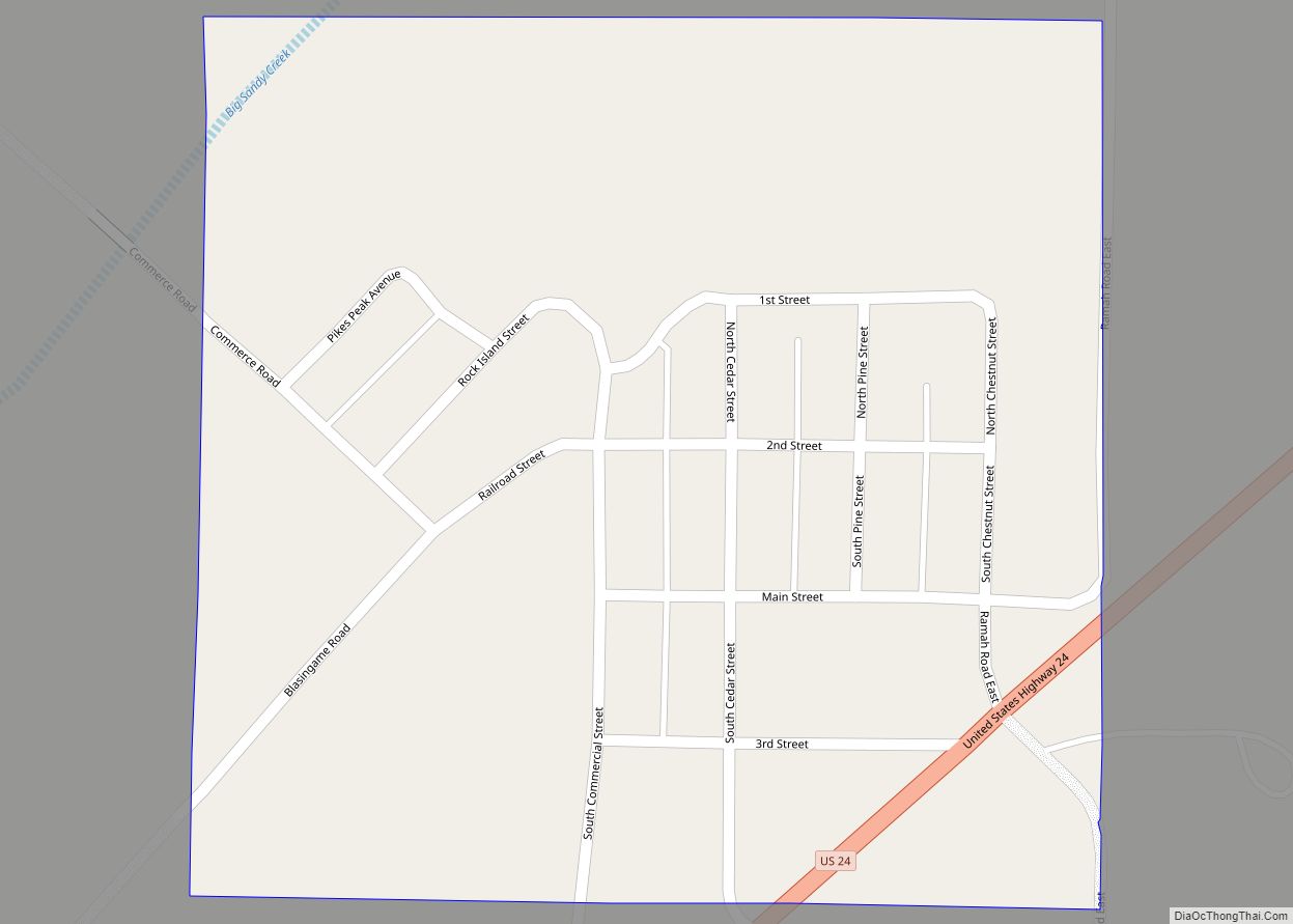
The town of Ramah /ˈreɪmə/ is a Statutory Town in El Paso County, Colorado, United States. The population was 111 as of the 2020 census. According to tradition, the name is derived from India. Ramah town overview: Name: Ramah town LSAD Code: 43 LSAD Description: town (suffix) State: Colorado County: El Paso County Elevation: 6,094 ft ... Read more
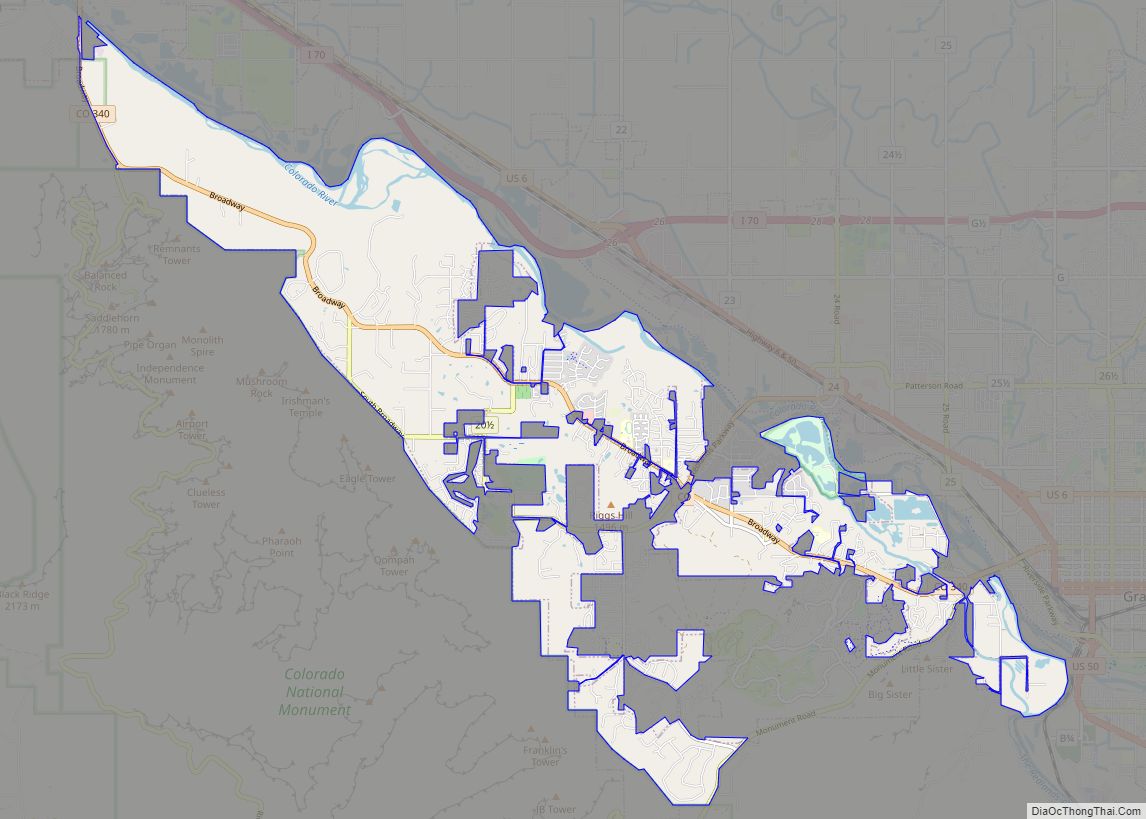
Redlands is an unincorporated community and census-designated place (CDP) located in and governed by Mesa County, Colorado, United States. It is part of the Grand Junction, CO Metropolitan Statistical Area. The population of the Redlands CDP was 9,061 at the 2020 census. The Grand Junction post office (ZIP Code 81507) serves the area. Redlands CDP ... Read more
