Map of Old Greenwich CDP

Map of Old Greenwich CDP

Old Greenwich is an affluent coastal village in Fairfield County, Connecticut, United States. As of the 2010 census it had a population of 6,611. The town of Greenwich is one political and taxing body, but consists of several distinct sections or neighborhoods, such as Byram, Cos Cob, Glenville, Mianus, Old Greenwich, Riverside and Greenwich (sometimes … Read more

Map of Oakville CDP, Connecticut

Map of Oakville CDP, Connecticut

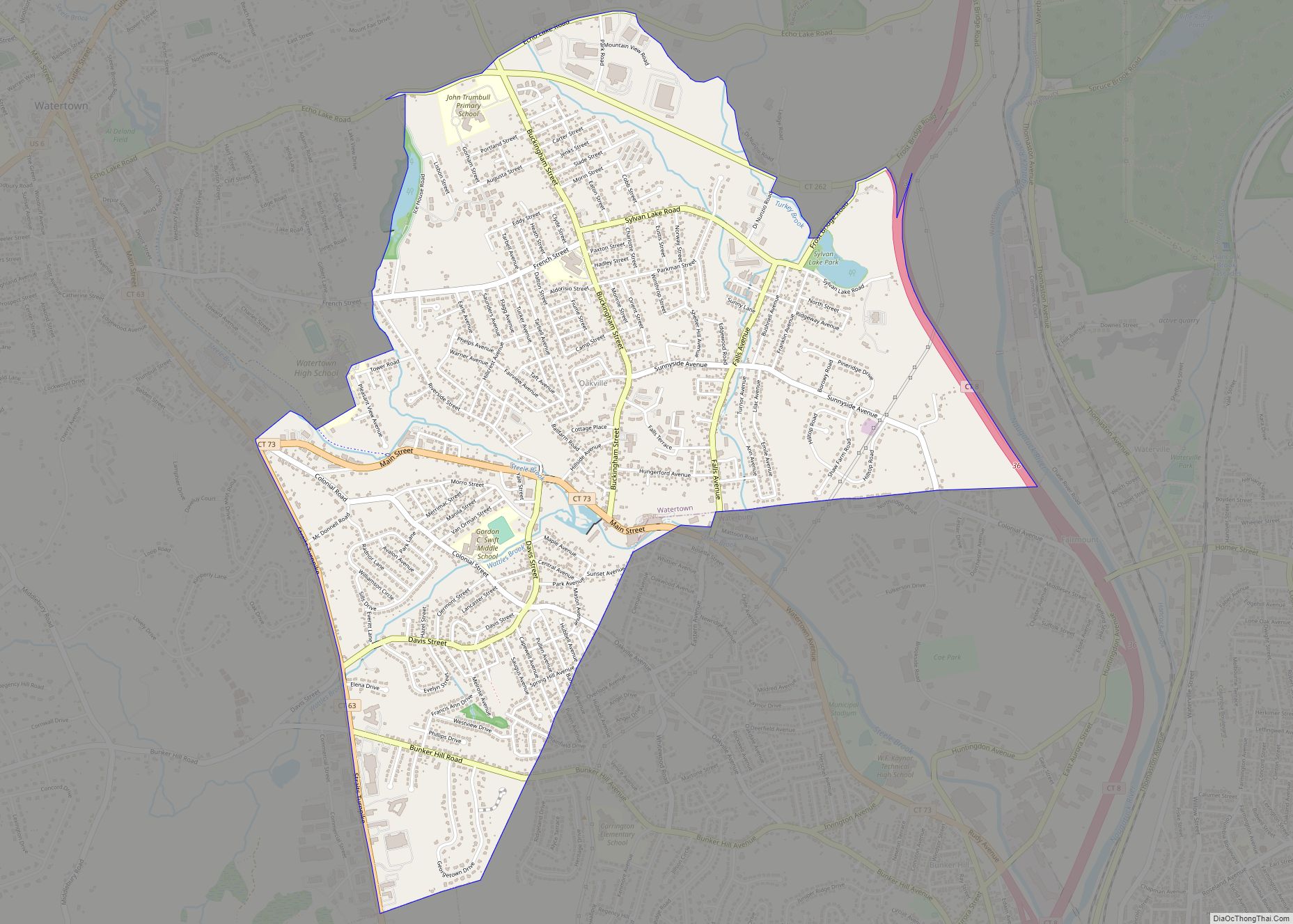
Oakville is a census-designated place (CDP) and neighborhood section of Watertown, in Litchfield County, Connecticut, United States. The population was 9,047 as of the 2010 census. It is the most populous community in Watertown, with more than twice as many people as the center village of Watertown. The ZIP code for Oakville is 06779. Oakville … Read more

Map of Norwich city

Map of Norwich city, Connecticut

Norwich (/ˈnɔːrwɪtʃ/ NOR-wich) (also called “The Rose of New England“) is a city in New London County, Connecticut, United States. The Yantic, Shetucket, and Quinebaug Rivers flow into the city and form its harbor, from which the Thames River flows south to Long Island Sound. The city is part of the Southeastern Connecticut Planning Region. … Read more

Map of Orange CDP, Connecticut

Map of Orange CDP, Connecticut

Orange is a town in New Haven County, Connecticut, United States. The town is part of the South Central Connecticut Planning Region. The population was 14,280 at the 2020 census. The town is governed by a Board of Selectmen. Orange CDP overview: Name: Orange CDP LSAD Code: 57 LSAD Description: CDP (suffix) State: Connecticut County: … Read more

Map of Old Saybrook Center CDP

Map of Old Saybrook Center CDP

Old Saybrook Center is the primary village and a census-designated place (CDP) in the town of Old Saybrook, Middlesex County, Connecticut, United States. The population was 2,278 at the 2020 census, out of 10,481 in the entire town of Old Saybrook. The CDP includes the traditional town center and the peninsula known as Saybrook Point. … Read more

Map of Old Mystic CDP

Map of Old Mystic CDP

Old Mystic is a village and census-designated place (CDP) located in the town of Groton, Connecticut. The population was 3,554 at the 2010 census. Old Mystic CDP overview: Name: Old Mystic CDP LSAD Code: 57 LSAD Description: CDP (suffix) State: Connecticut County: New London County Elevation: 138 ft (42 m) Total Area: 4.4 sq mi (11 km²) Land Area: 4.3 sq mi … Read more

Map of Pemberwick CDP

Map of Pemberwick CDP

Pemberwick is a neighborhood/section and census-designated place in Greenwich in Fairfield County, Connecticut, United States. As of the 2010 census it had a population of 3,680. Pemberwick CDP overview: Name: Pemberwick CDP LSAD Code: 57 LSAD Description: CDP (suffix) State: Connecticut County: Fairfield County Total Area: 0.693 sq mi (1.79 km²) Land Area: 0.679 sq mi (1.76 km²) Water Area: 0.014 sq mi … Read more

Map of Pawcatuck CDP

Map of Pawcatuck CDP

Pawcatuck is a village and census-designated place (CDP) in the town of Stonington which is located in New London County, Connecticut. The population was 5,624 at the 2010 census. It is located across the Pawcatuck River from Downtown Westerly, Rhode Island. The Mechanic Street Historic District of Pawcatuck is listed on the National Register of … Read more

Map of Oxoboxo River CDP

Map of Oxoboxo River CDP

Oxoboxo River /ˈɑːksoʊˌbɑːksoʊ/ is a census-designated place (CDP) in the town of Montville in New London County, Connecticut, United States. The population was 2,938 at the 2000 census and 3,165 at the 2010 census. The statistical area encompasses the town center of Montville, as well as the adjacent villages of Palmertown and Uncasville. The name … Read more

Map of Poquonock Bridge CDP

Map of Poquonock Bridge CDP

Poquonnock Bridge is a village and census-designated place (CDP) in the town of Groton in New London County, Connecticut, United States. The population was 1,727 at the 2010 census. The village is located just east of the head of the Poquonnock River near the intersection of U.S. Route 1 and Connecticut Route 117. The village … Read more

Map of Plantsville CDP

Map of Plantsville CDP

Plantsville CDP overview: Name: Plantsville CDP LSAD Code: 57 LSAD Description: CDP (suffix) State: Connecticut FIPS code: 0960260 Online Interactive Map Plantsville online map. Source: Basemap layers from Google Map, Open Street Map (OSM), Arcgisonline, Wmflabs. Boundary Data from Database of Global Administrative Areas. Plantsville location map. Where is Plantsville CDP? Plantsville Road Map Plantsville … Read more

Map of Plainfield Village CDP

Map of Plainfield Village CDP

Plainfield Village is a village and census-designated place (CDP) in the town of Plainfield, Connecticut in the United States. The population was 2,557 at the 2010 census. It is located in the southwest part of town, in the area west of I-395 and south of Route 14. The village is also the core of the … Read more