Norwich (/ˈnɔːrwɪtʃ/ NOR-wich) (also called “The Rose of New England“) is a city in New London County, Connecticut, United States. The Yantic, Shetucket, and Quinebaug Rivers flow into the city and form its harbor, from which the Thames River flows south to Long Island Sound. The city is part of the Southeastern Connecticut Planning Region. The population was 40,125 at the 2020 United States Census.
| Name: | Norwich city |
|---|---|
| LSAD Code: | 25 |
| LSAD Description: | city (suffix) |
| State: | Connecticut |
| County: | New London County |
| Elevation: | 56 ft (17 m) |
| Land Area: | 28.06 sq mi (72.68 km²) |
| Water Area: | 1.34 sq mi (3.48 km²) |
| Population Density: | 1,430/sq mi (552.1/km²) |
| Area code: | 860/959 |
| FIPS code: | 0956200 |
| Website: | www.norwichct.org |
Online Interactive Map
Click on ![]() to view map in "full screen" mode.
to view map in "full screen" mode.
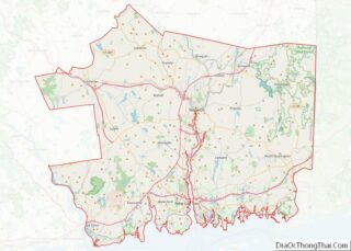
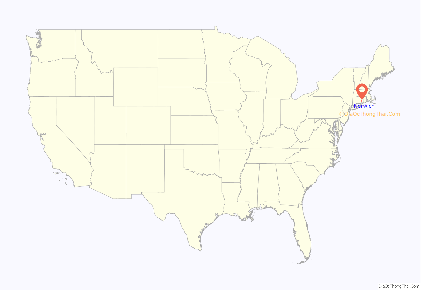
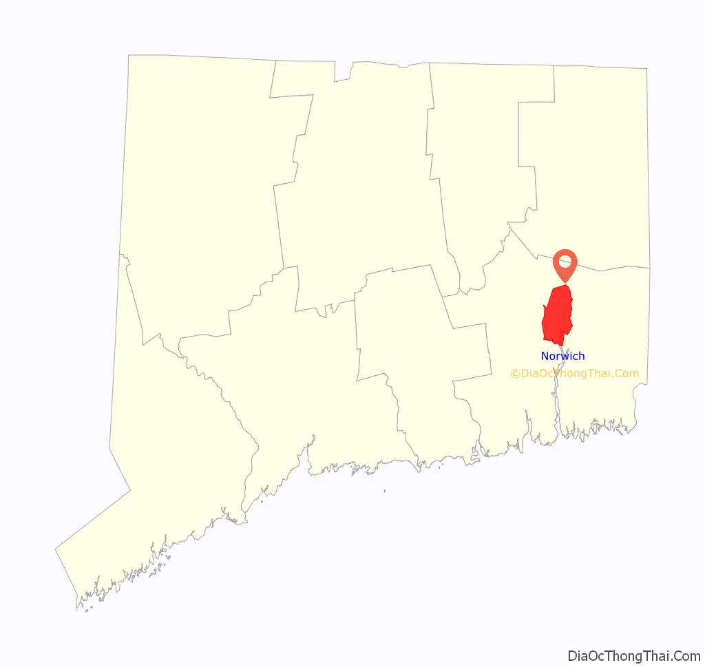
Norwich location map. Where is Norwich city?
History
The town of Norwich was founded on the site of what is now Norwichtown in 1659 by settlers from Saybrook Colony led by Major John Mason,James Fitch. and Lieutenant Francis Griswold.They purchased the land “nine miles square” that became Norwich from Mohegan Sachem Uncas. One of the co-founders of Norwich was Thomas Leffingwell who rescued Uncas when surrounded by his Narragansett enemies, and whose son established the Leffingwell Inn. In 1668, a wharf was established at Yantic Cove. Settlement was primarily in the three-mile (4.8 km) area around the Norwichtown Green. The 69 founding families soon divided up the land in the Norwichtown vicinity for farms and businesses.
By 1694, the public landing built at the head of the Thames River allowed ships to unload goods at the harbor; the harbor area is known as the Chelsea neighborhood. The distance from the port to Norwichtown was served by the East and West Roads which became Washington Street and Broadway. The original center of the town was a neighborhood now called Norwichtown, an inland location chosen to be the center of a primarily agricultural farming community. By the late 18th century, shipping at the harbor became far more important than farming, especially when industrial mills began manufacturing on the three smaller rivers. By the early 19th century, the center of Norwich had effectively moved to the Chelsea neighborhood. The official buildings of the city were located in the harbor area, such as the city hall, courts, and post office, and all the large 19th-century urban blocks. The former center is now called Norwichtown to distinguish it from the current city.
Norwich merchants were shipping goods directly from England, but the Stamp Act of 1764 forced Norwich to become more self-sufficient. Large mills and factories sprang up at the falls on the rivers which traverse the town, the largest of which was the Ponemah Mill in the Taftville neighborhood. The ship captains of Norwich and New London were skillful at avoiding Imperial taxation during peacetime and were later just as successful eluding warships during the American Revolution. Norwich supported the cause for independence by supplying soldiers, ships, and munitions, and it was also a center of activity for the Sons of Liberty.
The Oxford English Dictionary attests the first recorded use of the word “Hello” to The Norwich Courier on October 18, 1826. Regular steamship service between New York and Boston helped Norwich to prosper as a shipping center through the early part of the 19th century. During the Civil War, Norwich once again rallied and saw the growth of its textile, armaments, and specialty item manufacturing. This was also spurred by the building of the Norwich and Worcester Railroad in 1832–1837, bringing goods and people in and out of Norwich. By the 1870s, the Springfield and New London Railroad was also running trains through Norwich.
In 1892, the city’s first electric trolleys started service to the area and to some cities, including New London, Willimantic, Putnam, and Westerly, Rhode Island. The town and city of Norwich were consolidated in 1952.
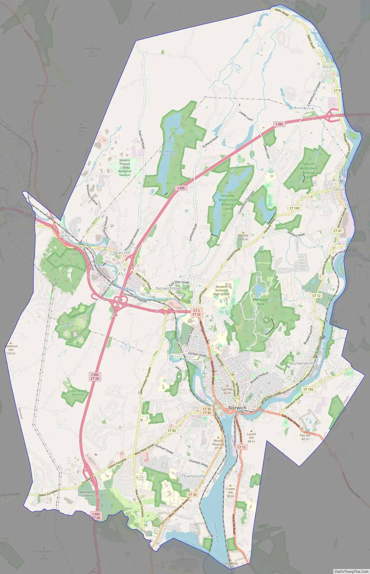
Norwich Road Map
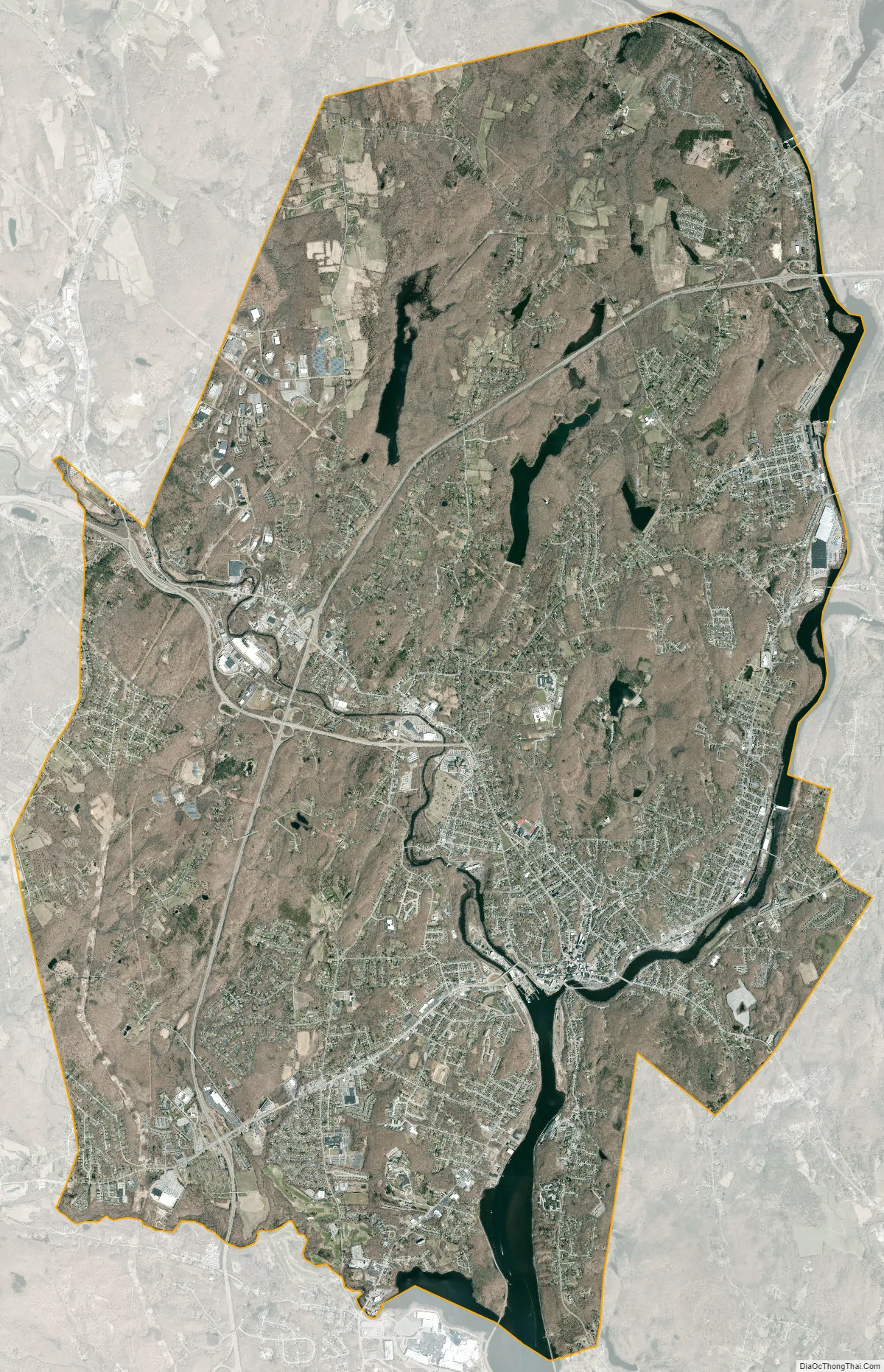
Norwich city Satellite Map
Geography
According to the United States Census Bureau, the city has a total area of 29.5 square miles (76.4 km), of which 28.3 sq mi (73.4 km) is land and 1.2 sq mi (3.0 km) (3.87%) is water.
Climate
Neighborhoods
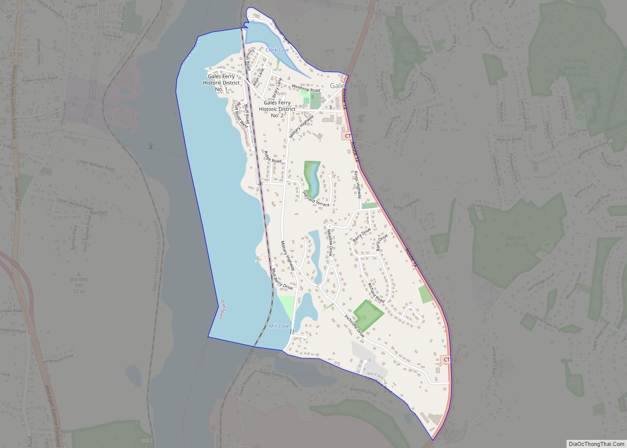
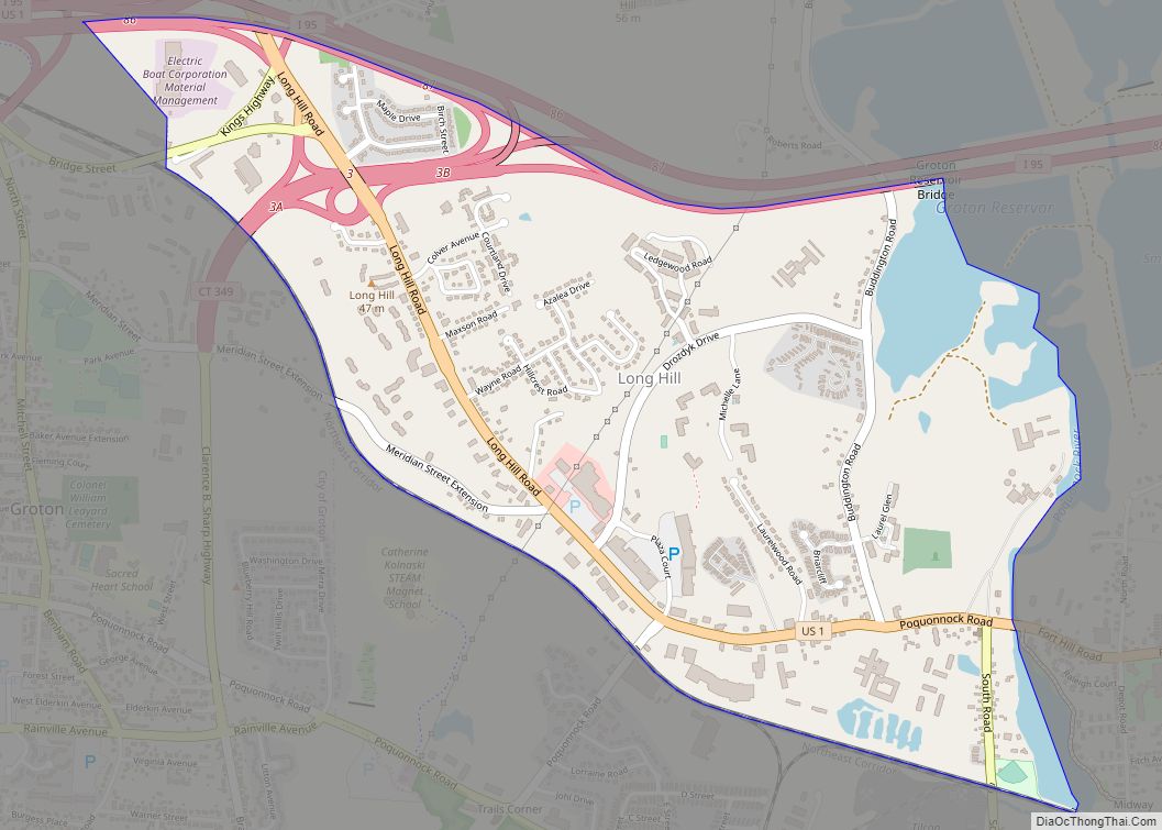
Several Norwich neighborhoods maintain independent identities and are recognized by official signs marking their boundaries. Neighborhoods of Norwich are Norwichtown, Bean Hill, Yantic, Taftville, Greeneville, Occum, East Great Plains, Thamesville, Laurel Hill and Chelsea (the original “downtown” area.)
See also
Map of Connecticut State and its subdivision: Map of other states:- Alabama
- Alaska
- Arizona
- Arkansas
- California
- Colorado
- Connecticut
- Delaware
- District of Columbia
- Florida
- Georgia
- Hawaii
- Idaho
- Illinois
- Indiana
- Iowa
- Kansas
- Kentucky
- Louisiana
- Maine
- Maryland
- Massachusetts
- Michigan
- Minnesota
- Mississippi
- Missouri
- Montana
- Nebraska
- Nevada
- New Hampshire
- New Jersey
- New Mexico
- New York
- North Carolina
- North Dakota
- Ohio
- Oklahoma
- Oregon
- Pennsylvania
- Rhode Island
- South Carolina
- South Dakota
- Tennessee
- Texas
- Utah
- Vermont
- Virginia
- Washington
- West Virginia
- Wisconsin
- Wyoming