Bridgeport city overview: Name: Bridgeport city LSAD Code: 25 LSAD Description: city (suffix) State: Connecticut County: Fairfield County Elevation: 3 ft (1 m) Land Area: 16.0 sq mi (41.4 km²) Water Area: 3.4 sq mi (8.8 km²) Population Density: 7,700/sq mi (3,000/km²) Area code: 203/475 FIPS code: 0908000 GNISfeature ID: 205720 Website: bridgeportct.gov Online Interactive Map Bridgeport online map. Source: Basemap layers from Google ... Read more
Connecticut Cities and Places
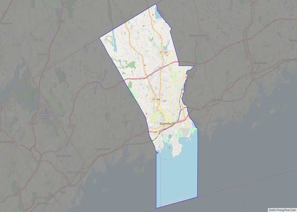
Stamford (/ˈstæmfərd/) is a city in Fairfield County, Connecticut, 34 miles (55 kilometers) outside of New York City. It is the largest city in the Western Connecticut Planning Region, and Connecticut’s second-most populous city, behind Bridgeport. With a population of 135,470, Stamford passed Hartford and New Haven in population as of the 2020 census. It ... Read more
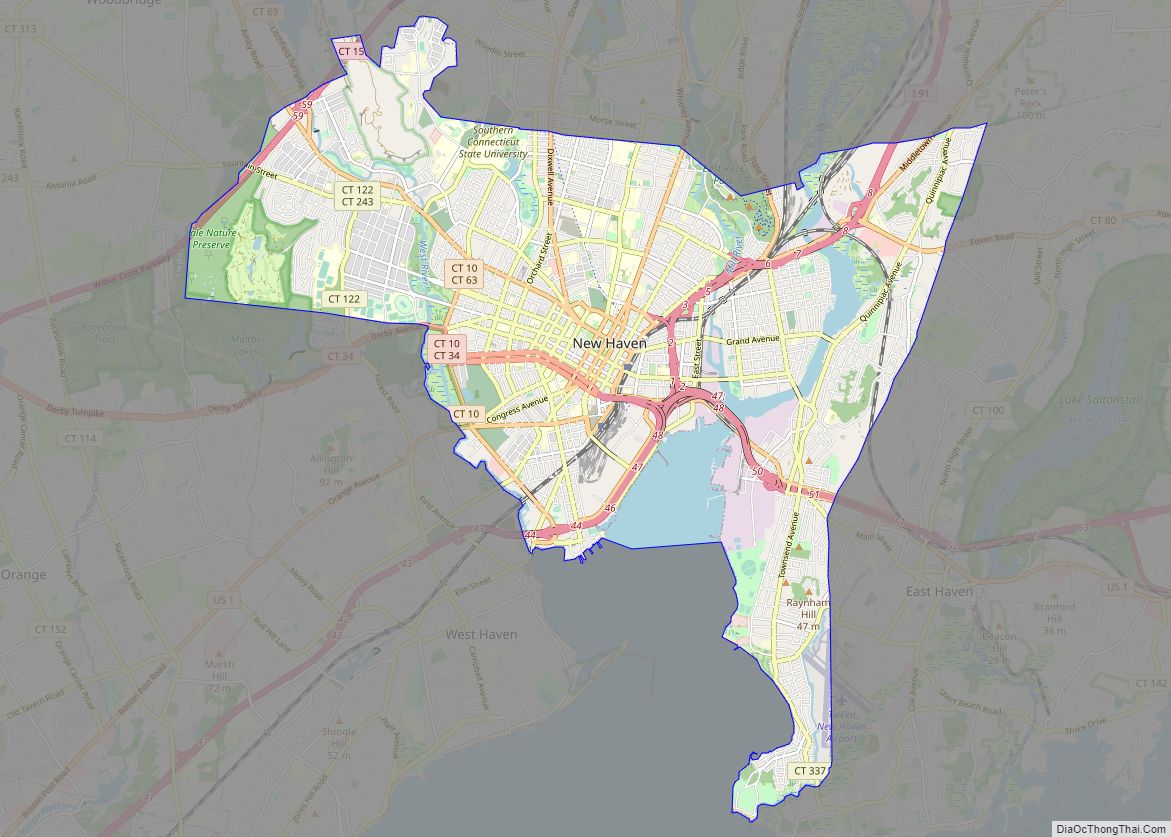
New Haven is a city in New Haven County, Connecticut, United States. It is located on New Haven Harbor on the northern shore of Long Island Sound and is part of the New York City metropolitan area. With a population of 135,081 as determined by the 2020 U.S. census, New Haven is the third largest ... Read more
Hartford is the capital city of the U.S. state of Connecticut. It was the seat of Hartford County until Connecticut disbanded county government in 1960. It is the largest city in the Capitol Planning Region, and core city of the Greater Hartford metropolitan area. Census estimates since the 2010 United States census have indicated that ... Read more
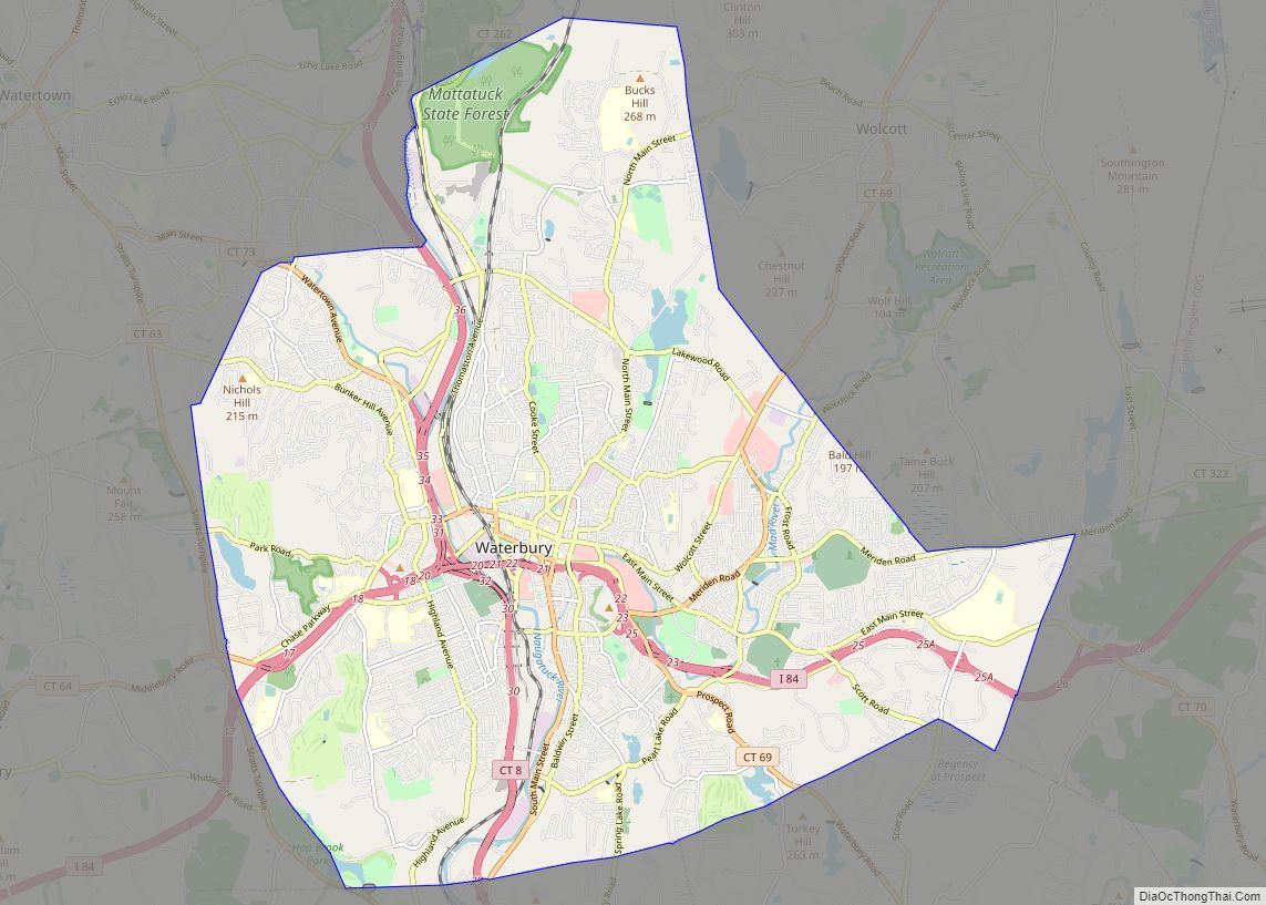
Waterbury is a city in the U.S. state of Connecticut on the Naugatuck River, 33 miles (53 km) southwest of Hartford and 77 miles (124 km) northeast of New York City. Waterbury is the largest city in the Naugatuck Valley Planning Region and second-largest city in New Haven County. According to the 2020 US Census, in 2020 ... Read more
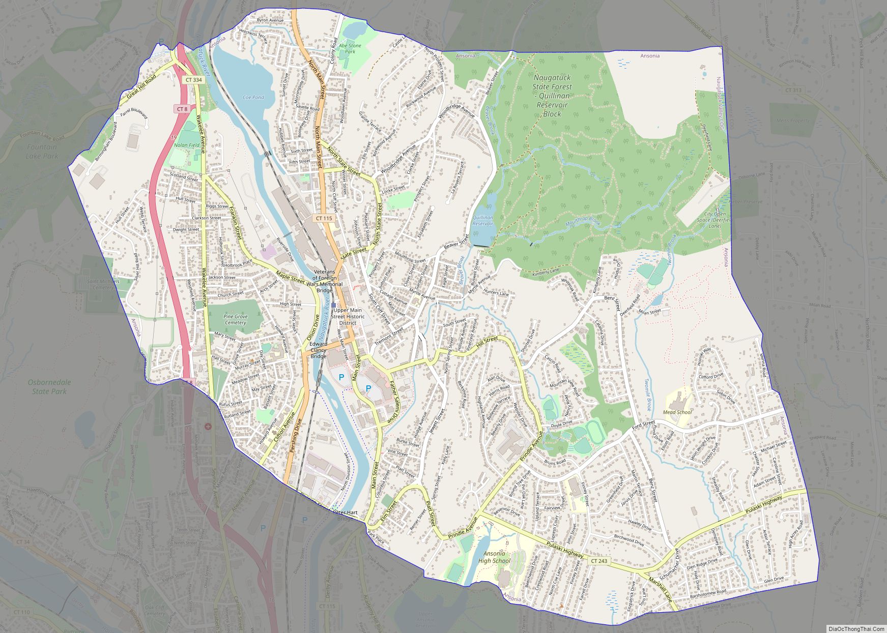
Ansonia is a city in New Haven County, Connecticut, United States. Located on the Naugatuck River, it is immediately north of Derby, and about 12 miles (19 km) northwest of New Haven. The city is part of the Naugatuck Valley Planning Region. The population was 18,918 at the time of the 2020 census. The ZIP code ... Read more
Bethel is a census-designated place (CDP) in Fairfield County, Connecticut, United States. It comprises the primary village and surrounding residential land within the town of Bethel. As of the 2010 census, the population of the CDP was 9,549, out of 18,584 in the entire town. Bethel CDP overview: Name: Bethel CDP LSAD Code: 57 LSAD ... Read more
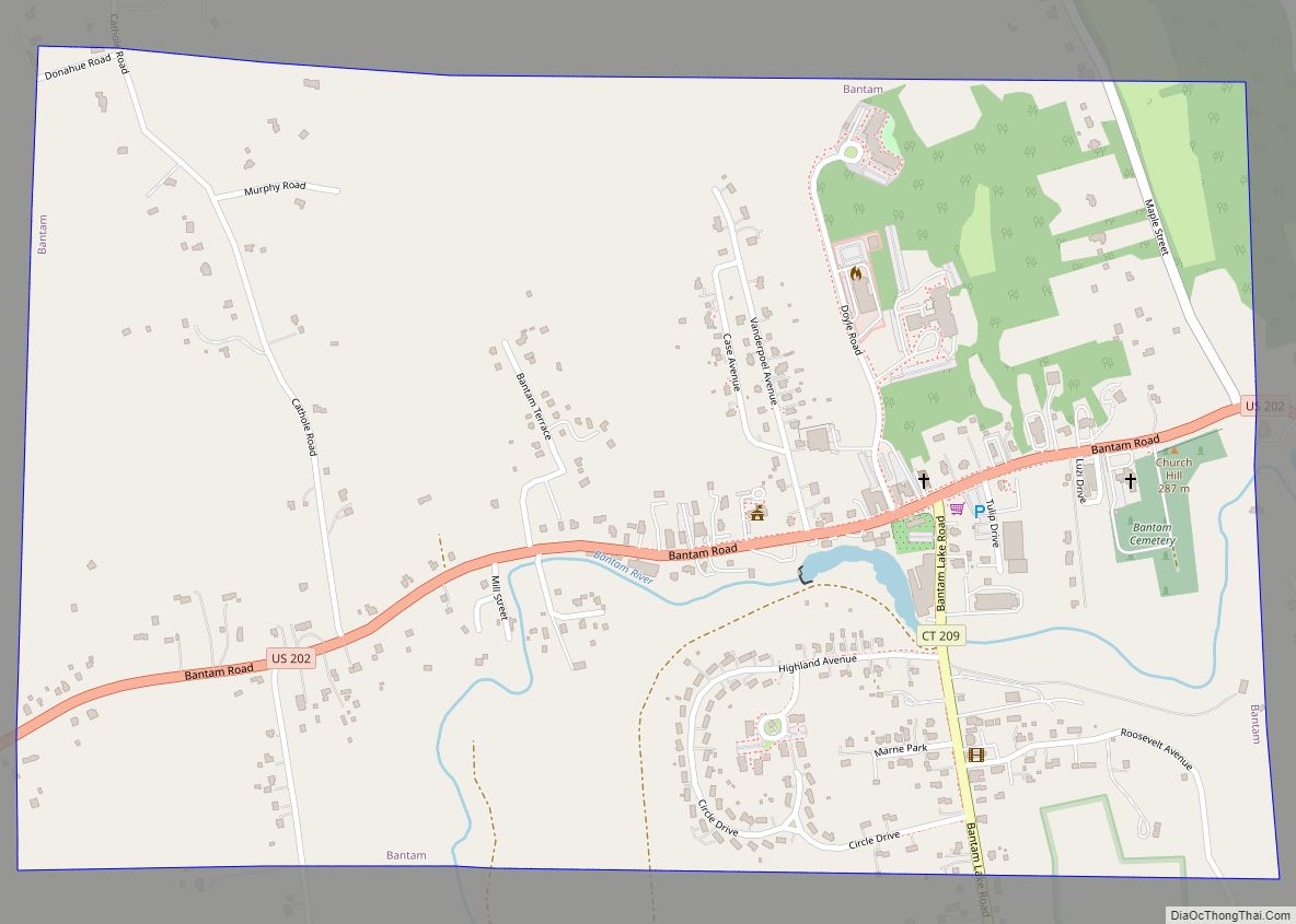
Bantam borough overview: Name: Bantam borough LSAD Code: 21 LSAD Description: borough (suffix) State: Connecticut County: Litchfield County FIPS code: 0902690 Online Interactive Map Bantam online map. Source: Basemap layers from Google Map, Open Street Map (OSM), Arcgisonline, Wmflabs. Boundary Data from Database of Global Administrative Areas. Bantam location map. Where is Bantam borough? Bantam ... Read more
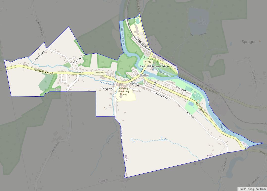
Baltic is the town center village of the town of Sprague, Connecticut, and a census-designated place (CDP). The population of the CDP was 1,250 as of the 2010 census. The Sprague town hall is in Baltic. The Baltic Historic District is a historic district that was listed on the National Register of Historic Places in ... Read more
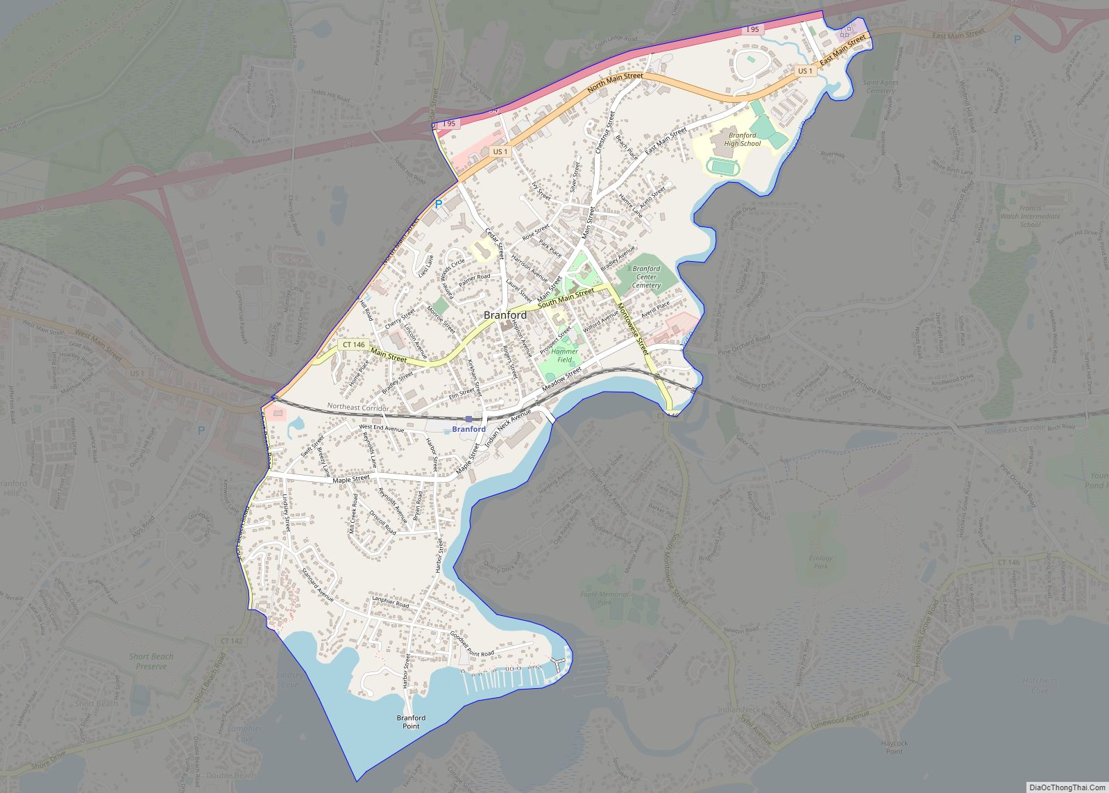
Branford Center CDP overview: Name: Branford Center CDP LSAD Code: 57 LSAD Description: CDP (suffix) State: Connecticut County: New Haven County FIPS code: 0907345 Online Interactive Map Branford Center online map. Source: Basemap layers from Google Map, Open Street Map (OSM), Arcgisonline, Wmflabs. Boundary Data from Database of Global Administrative Areas. Branford Center location map. ... Read more
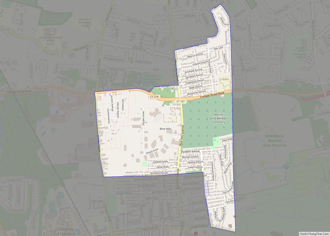
Blue Hills is a community in Hartford County, Connecticut, encompassing the northwest corner of the city of Hartford and the southeast corner of the town of Bloomfield. The Bloomfield portion is listed by the U.S. Census Bureau as a census-designated place (CDP), with a population of 2,762 at the 2020 census. Blue Hills is home ... Read more
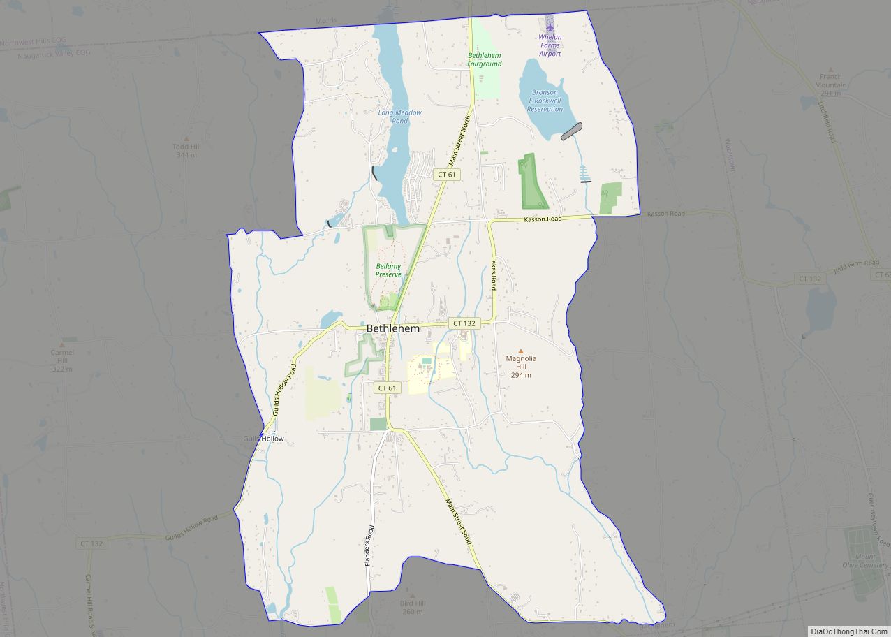
Bethlehem Village is a census-designated place (CDP) within the town of Bethlehem in Litchfield County, Connecticut, United States. The CDP includes the Bethlehem Green Historic District at the town center, as well as surrounding residential and rural land. As of the 2010 census, the CDP had a population of 2,021, out of a population of ... Read more

